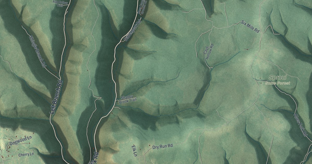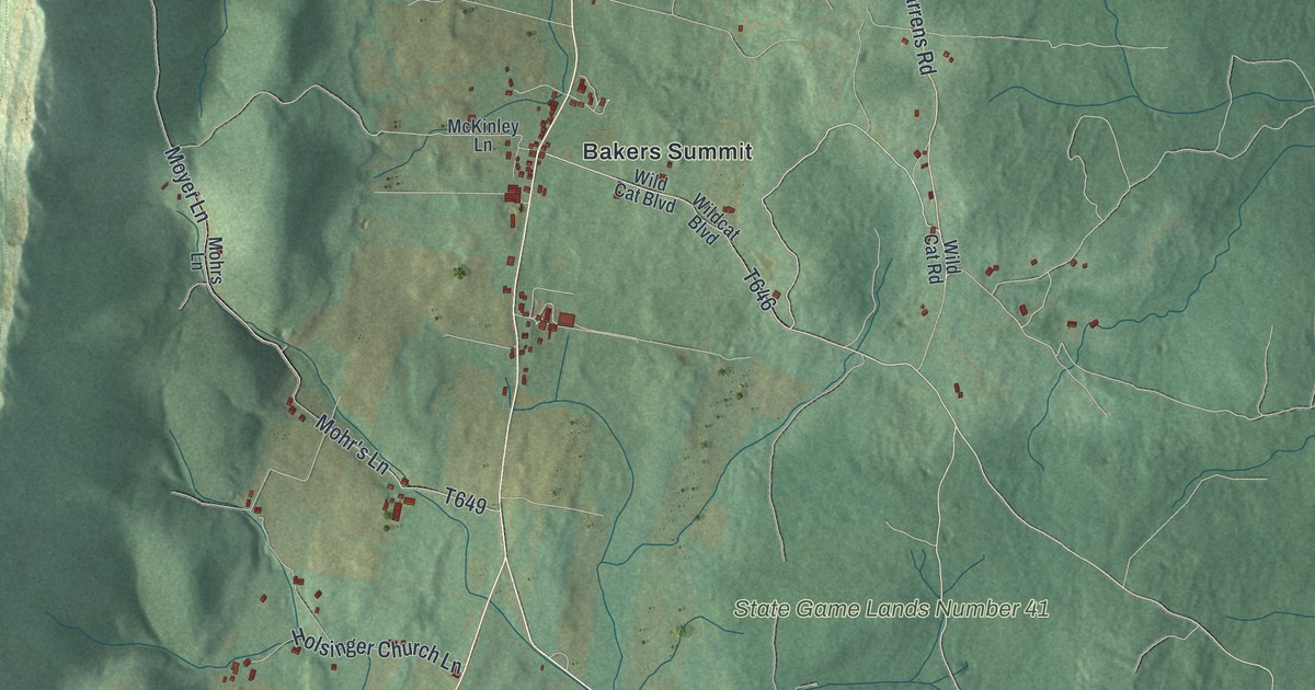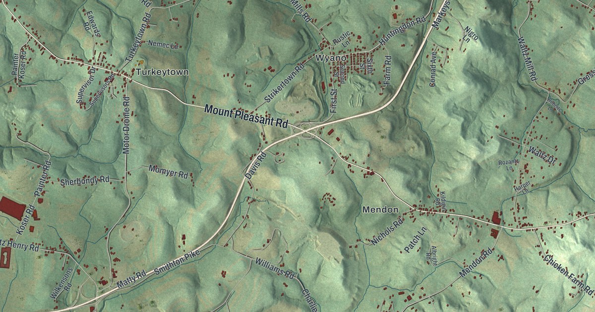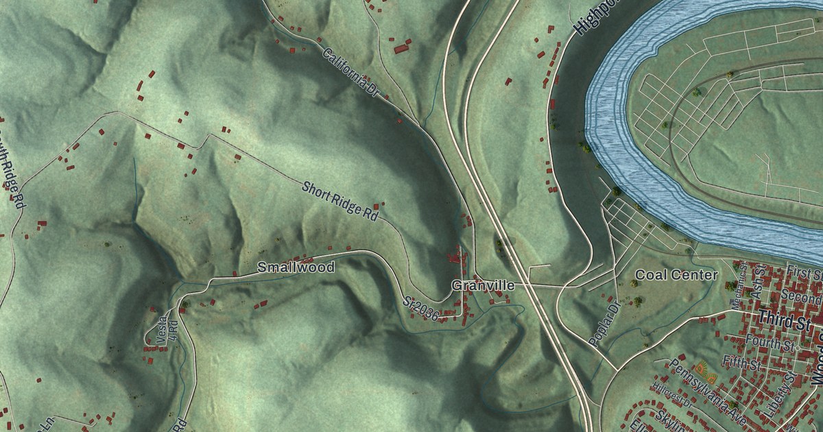
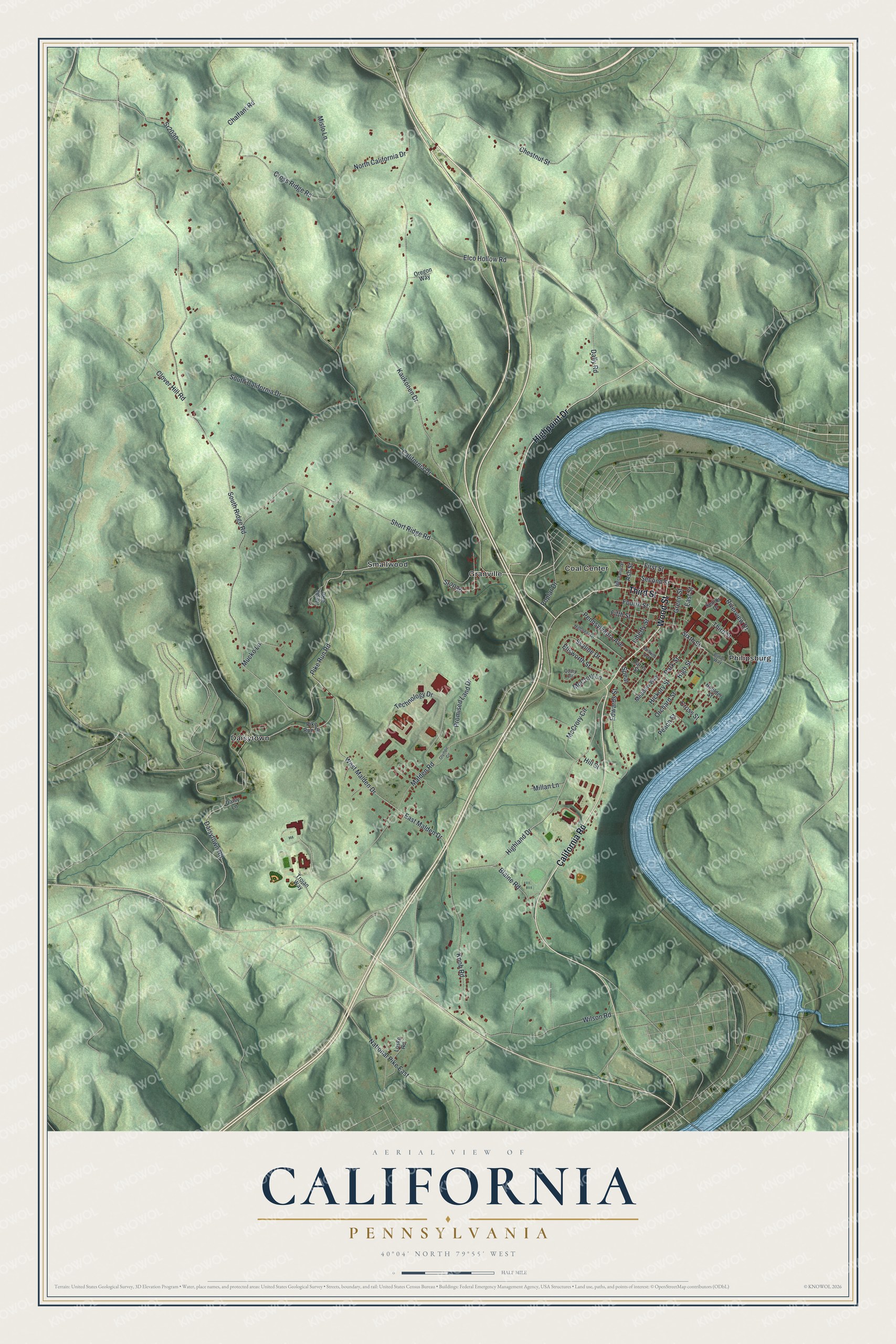
This beautifully detailed map of California, Pennsylvania was created in 2026 using aerial imagery combined with modern topographical, census, street and landmark data. It's a modern aerial view of California in Washington County, Pennsylvania, that combines modern data with a vintage aesthetic. The roads feature printed names, and if you look closely you can find your exact house accurately shown in its correct location.
Explore an aerial view of California, Pennsylvania
On this map you'll find Coal Center, Daisytown, Granville, Philipsburg, Smallwood, California Road, Wood Street, Highpoint Drive, Third Street, Highland Drive, Pennsylvania Avenue, West Malden Drive, and more. Each red shape is a building, so zoom in on the preview and look for yours.
Here is a piece of California history, in the words of the record. The record at data.pa.gov puts it this way: "An integral part of the National Road, this was the first metal arch bridge in the United States, built 1836-39."
California is a borough in Washington County. The Census Bureau counted 5,362 people here in 2020.
Take a closer look at the California map
Names on this map
These names are printed on this map.
Places: Coal Center, Daisytown, Granville, Philipsburg and Smallwood.
Streets and roads: California Road, Wood Street, Highpoint Drive, Third Street, Highland Drive, Pennsylvania Avenue, West Malden Drive, East Malden Drive, Pike Run Road, Malden Road, Sr2036, Sr2030.
More street names, A to Z
Ash Street, Blaine Road, Boulder Street, Burds Way, California Drive, Chalfant Road, Chestnut Street, Clover Hill Road, Cross Ridge Road, Cross Street, Daisy Lane, Daisytown Road, Dally Road, East Street, Edwards Street, Elco Hollow Road, Ellsworth Street, Fifth Street, First Street, Fourth Street, Green Street, Harris Street, Hickory Street, High Street, Hillcrest Drive, Hill Street, Kaukonen Drive, Knob Road, Liberty Street, Losko Road, McCrory Circle, McCrory Lane, Meadow Way, Mechanic Street, Millan Lane, Mislo Lane, Mucko Lane, National Pike East, North California Drive, Olympic Circle, Orchard Street, Oregon Way, Park Street, Peach Street, Pike Run Drive, Poplar Drive, Promised Land Drive, Quary Circle, Riverview Drive, Second Street, Senior Drive, Short Ridge Road, Sixth Street, Skyline Drive, South California Drive, South Ridge Road, Spear, Technology Drive, Trojan Way, Vesta 4 Road, Wilkins Avenue, Wilson Road.
Created by KNOWOL in 2026. The buildings are small red shapes, the roads carry their printed names, and shaded relief shows the shape of the land. The title panel reads "AERIAL VIEW OF CALIFORNIA PENNSYLVANIA" with 4, 0, °, 0, 4, ', , N, O, R, T, H, , 7, 9, °, 5, 5, ', , W, E, S, T.
It suits a den, a classroom or a front hall, and it makes a gift for anyone with California roots. Open the preview and find the block you know. See sizes and frames for the California map.