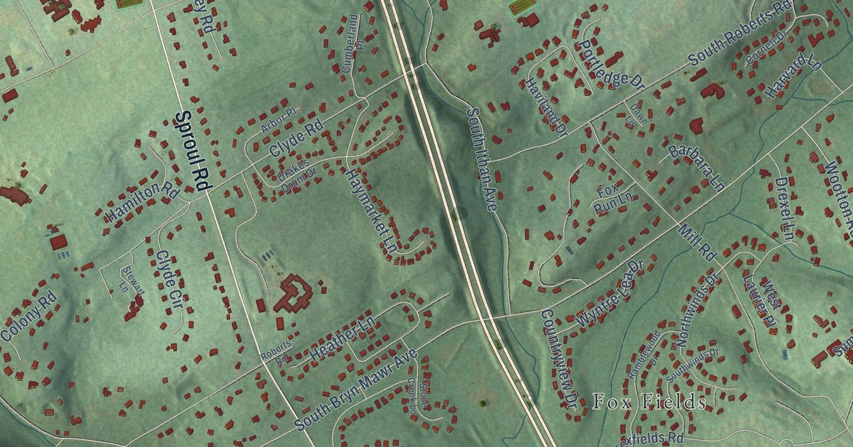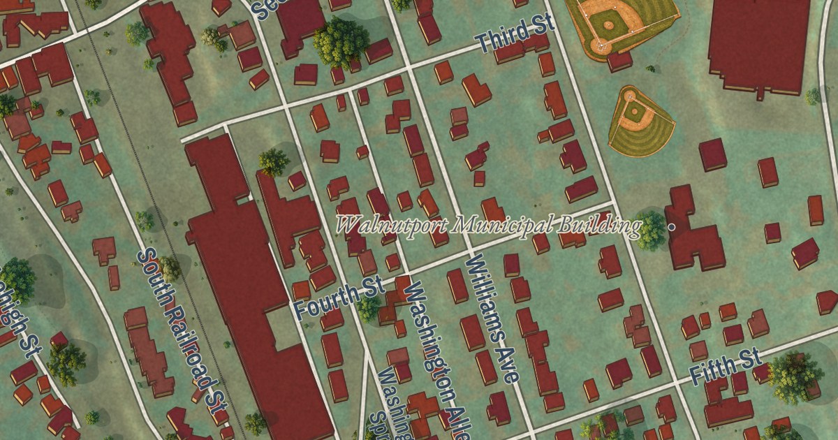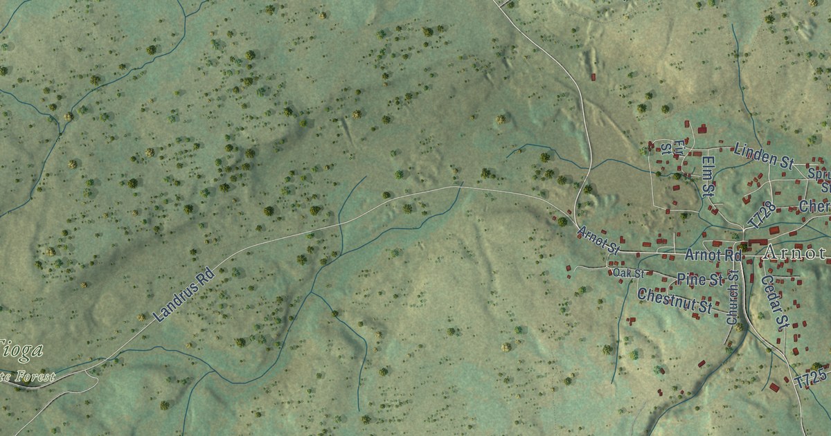
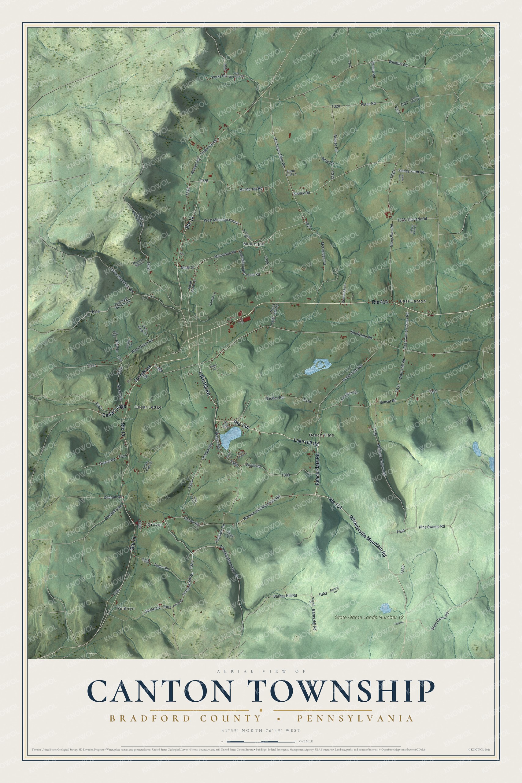
This beautifully detailed map of Canton Township, Bradford County, Pennsylvania was created in 2026 using aerial imagery combined with modern topographical, census, street and landmark data. It’s a one-of-a-kind view of Canton Township that combines accurate data with a vintage aesthetic. The map shows every building in its true location, many of the roads carry their names, and the shaded topographic relief shows the shape of the land.
Explore an aerial view of Canton Township, Bradford County, Pennsylvania
On the map you’ll find State Game Lands Number 12, Beech Flats, Cedar Ledge, East Canton, Grover, Minnequa, and Penbryn, along with Lake Hill Road, Beech Flats Road, Wheelerville Mountain Road, Ellenton Mountain Road, Seeley Road, and more. If you look closely you can even find your house accurately drawn in its correct location. Zoom in on the preview to look for yours.
Did you know this about Canton Township, Bradford County, Pennsylvania?
From the History and Geography of Bradford County: "Canton derives its name from the Connecticut township of that name, which included a part of what is now called Canton."
Take a closer look at the Canton Township, Bradford County map
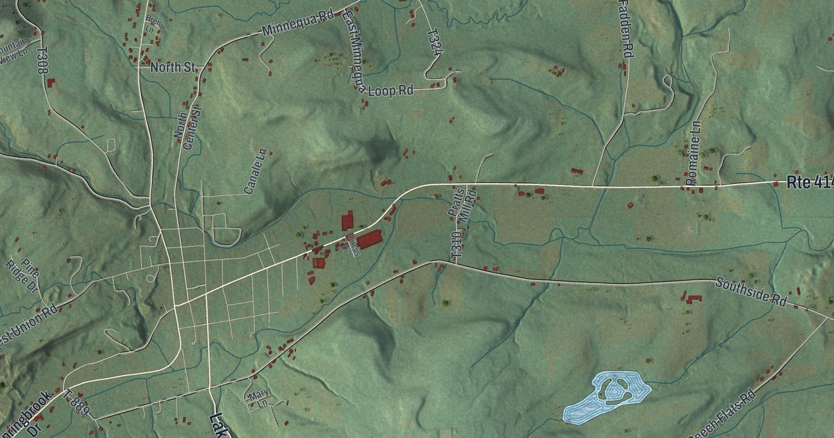
Street and place names on the Canton Township, Bradford County, Pennsylvania map
These names are printed on the map of Canton Township, Bradford County, Pennsylvania.
Places: State Game Lands Number 12, East Canton, Penbryn, Cedar Ledge, Beech Flats, Grover and Minnequa.
Streets and roads: Lake Hill Road, Beech Flats Road, Wheelerville Mountain Road, Route 154, Route 414, Route 14, Ellenton Mountain Road, Seeley Road, Minnequa Main Road, Parsons Hill Road, Seeley Farm Road, Glory Barn Road.
More street names, A to Z
Alba Mountain Road, Austin Road, Ayres Road, Baptist Church Road, Barnes Hill Road, Barns Hill Road, Berg Road, Brague Road, Breeze Road, Bren Lane, Buchanan Road, Canale Lane, Castle Lane, Cedar Ledge Drive, Circus Drive, Cleverly Road, Debruin Road, Dreste Road, East Canton Cross Road, East Minnequa Loop Road, Gerard Avenue, Graham Road, Griffin Lane, Groff Lane, Grover Road, Hidden View Lane, Hide Away Lane, Hogback Road, John Deere Lane, Lower Mountain Road, Mary Lane, McFadden Road, Mc Murray Road, Minnequa Road, Mountain View Lane, Newell Road, North Center Street, North Dauber Lane, North Street, Owens Road, Parks Road, Parsons Road, Pfaff Drive, Pfaff Road, Pine Ridge Drive, Pine Swamp Road, Pit Road, Pratts Mill Road, Preston's Road, Rhodes Road, Romaine Lane, Rosner Road, Southeast Williams Road, Southside Road, Springbrook Drive, State Game Road, Sugar Loaf Lane, Summit Drive, Summit Lane, Sunset Road, T-889, Taylor Road, Trailer Park Road, Trail Road, Upper Mountain Road, Ward Hill Road, West Minnequa Loop, West Union Road, Wight Road, Williams Hollow Road, Windfall Road, Windy Hill Lane.
See the Canton Township, Bradford County, Pennsylvania map on a wall
The Canton Township, Bradford County map as an 18 x 24 inch print in a black frame.

This beautifully detailed map of Canton, Bradford County makes an attractive addition to your office, library, or den, and it can even be used to teach children the geography and history of the area. It also makes a great gift for anyone who grew up in Canton Township or moved away. When you’re done exploring, click here to get your copy of the Canton, Bradford County map.