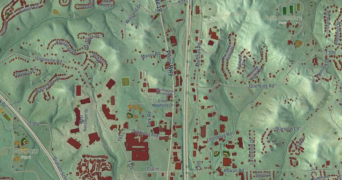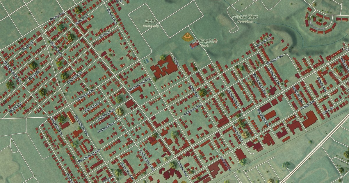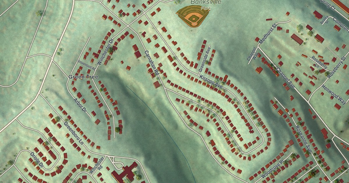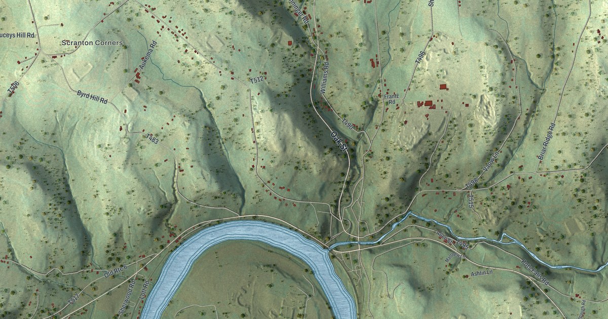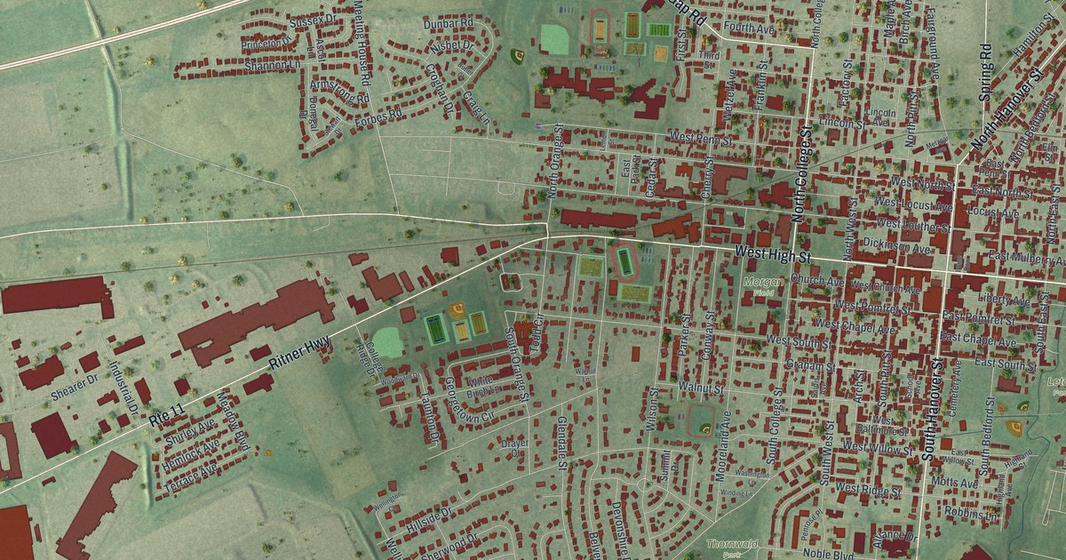
This beautifully detailed map of Carlisle, Pennsylvania was created in 2026 using aerial imagery combined with modern topographical, census, street and landmark data. It’s a one-of-a-kind view of Carlisle that combines accurate data with a vintage aesthetic. The map shows every building in its true location, many of the roads carry their names, and the shaded topographic relief shows the shape of the land.
Explore an aerial view of Carlisle, Pennsylvania
On the map you’ll find Letort Park, Thornwald Park, Ashland Cemetery, and Morgan Field, along with East High Street, North Hanover Street, York Road, South Hanover Street, West High Street, Ritner Highway, Allen Road, Carlisle Springs Road, and more. If you look closely you can even find your house accurately drawn in its correct location. Zoom in on the preview to look for yours.
Did you know this piece of Carlisle, Pennsylvania history?
From the PA Historical and Museum Commission: "Dr. Benjamin Rush envisioned a new type of education for post-Revolutionary America, a useful education in the liberal arts. Rush, with the assistance of Col. John Montgomery of Carlisle, founded Dickinson College to prepare an engaged citizenry able to meet the leadership needs of the new nation. Chartered on September 9, 1783 and named for John Dickinson, the college was the first established west of the Susquehanna River."
Take a closer look at the Carlisle map
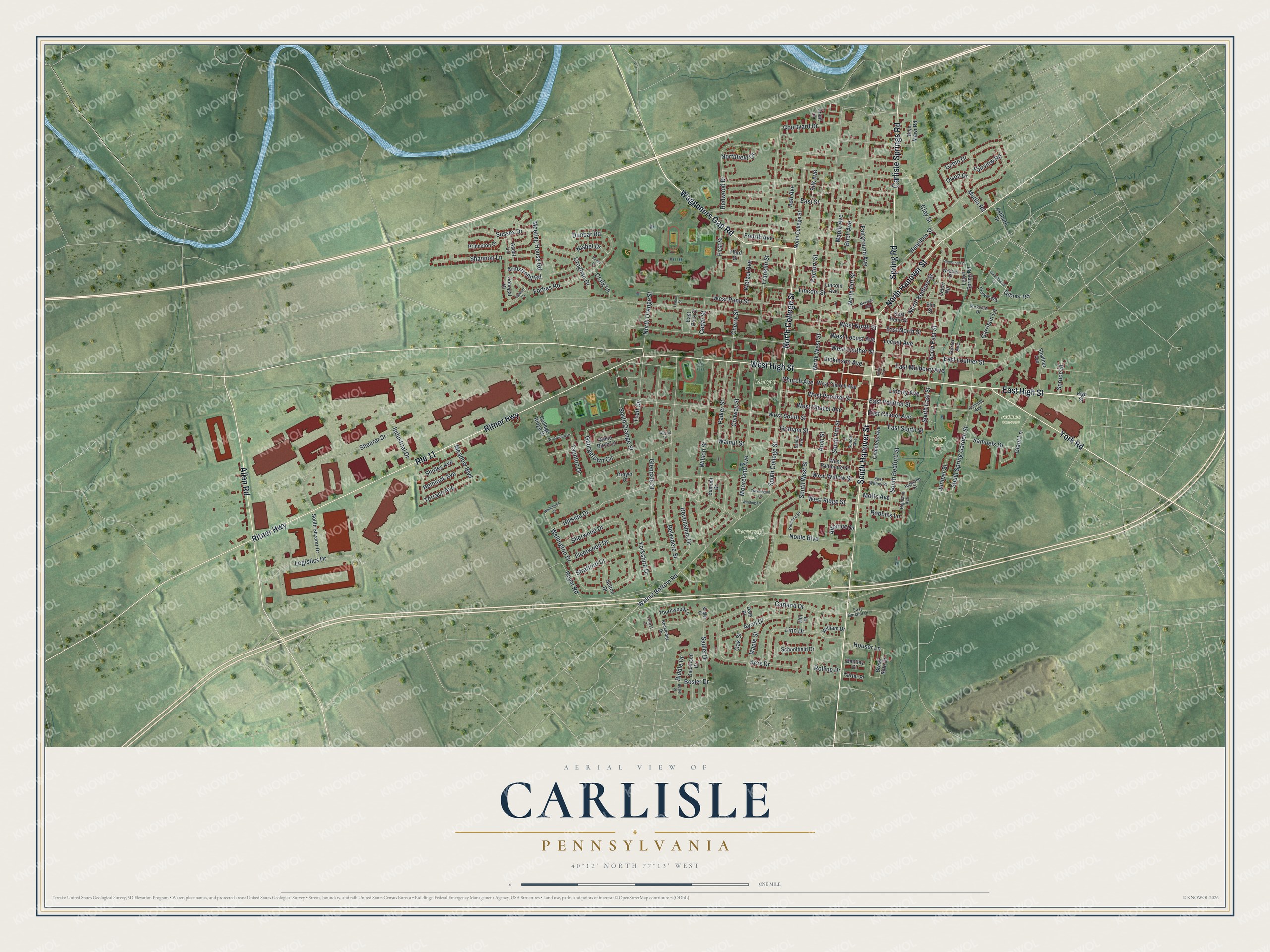
Street and place names on the Carlisle, Pennsylvania map
These names are printed on the map of Carlisle, Pennsylvania.
Places: Letort Park, Thornwald Park, Ashland Cemetery and Morgan Field.
Streets and roads: East High Street, North Hanover Street, York Road, South Hanover Street, West High Street, Route 11, Ritner Highway, Allen Road, Carlisle Springs Road, Spring Road, North College Street, Waggoners Gap Road.
More street names, A to Z
Acre Drive, Alliance Drive, Arch Street, Armstrong Road, Ascot Lane, Ash Avenue, Ashburn Drive, Ashland Avenue, Avon Drive, Belvedere Street, Bentley Place, Biddle Drive, Birch Avenue, Bosler Drive, Bosler Place, Brook Side Drive, Bryn Mawr Road, Butler Court, Carter Place, Cedar Street, Cemetery Avenue, Cherry Street, Church Avenue, Clay Street, College Ridge Drive, Conway Street, Court Lane, Courtyard Drive, Craig Lane, Croghan Drive, Dale Place, Devonshire Drive, Dickinson Avenue, Dickinson Drive, Donegal Drive, Drayer Court, Dunbar Road, East Chapel Avenue, East Garland Drive, East Louther Street, East Mulberry Avenue, East North Street, East Park Street, East Penn Street, East Pomfret Street, East South Street, East Street, East Willow Street, Elm Street, Factory Street, Fairground Avenue, Fairview Road, First Street, Fleetwood Drive, Flower Road, Forbes Road, Forest Court, Fourth Avenue, Franklin Street, Garland Drive, Garrison Lane, Georgetown Circle, Giant Lane, Gibner Road, Glendale Street, Gobin Drive, Graham Street, Guardhouse Lane, Hamilton Street, Hemlock Avenue, Henderson Street, Highland Avenue, Highland Court, High Street, Hill Place, Hillside Drive, Houser Lane, Industrial Drive, Irvine Row, Juniper Street, Lemon Street, Letort Road, Letort Spring Road, Liberty Avenue, Lincoln Avenue, Lincoln Street, Linn Drive, Locust Avenue, Logistics Drive, Maple Avenue, Maple Street, Meadow Boulevard, Media Road, Meeting House Road, Metzgar Avenue, Mooreland Avenue, Motts Avenue, Nisbet Drive, Noble Boulevard, North Bedford Street, North East Street, Northfield Drive, North Orange Street, North Pitt Street, North West Street, Oak Street, Olson Drive, Parker Street, Parkview Drive, Penrose Place, Porter Avenue, Princeton Drive, Redwood Drive, Robbins Lane, Rockledge Drive, Rolling Drive, Royer Road, Sadler Court, Sadler Drive, Saidis Avenue, Samuels Drive, School Avenue, Schoolfield Drive, Shaffner Avenue, Shannon Lane, Shearer Drive, Sherwood Drive, Shirley Avenue, Silk Avenue, South Bedford Street, South College Street, South East Street, South Orange Street, South Pitt Street, South Shearer Drive, South Spring Garden Street, South West Street, Spruce Street, Stewart Drive, Stratford Drive, Summit Drive, Sussex Drive, Sutton Drive, Taunton Drive, Terrace Avenue, Third Street, Thornwood Lane, Todd Circle, Walnut Bottom Road, Walnut Lane, Walnut Street, Washington Lane, Webster Street, Wellington Court, Wellington Drive, West Baltimore Street, West Chapel Avenue, West Church Avenue, West Locust Avenue, West Louther Street, West North Street, West Penn Street, West Pomfret Street, West Ridge Street, West South Street, West Willow Street, Wetzel Avenue, White Birch Lane, William Drive, Wilson Street, Winding Lane, Woodward Drive, Yorkshire Drive.
See the Carlisle, Pennsylvania map on a wall
The Carlisle map as an 18 x 24 inch print in a black frame.

This beautifully detailed map of Carlisle makes an attractive addition to your office, library, or den, and it can even be used to teach children the geography and history of the area. It also makes a great gift for anyone with Carlisle roots. When you’re done exploring, click here to get your copy of the Carlisle map.