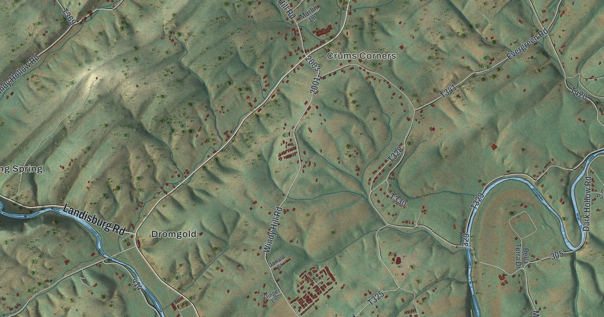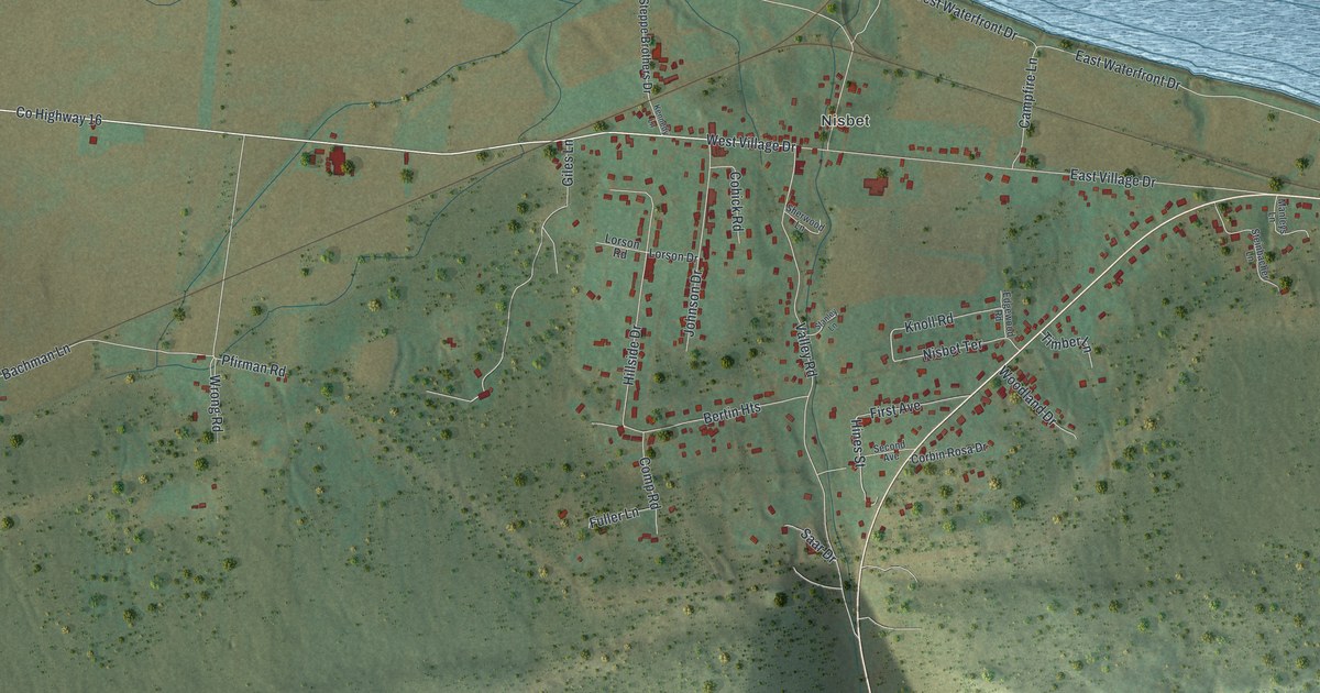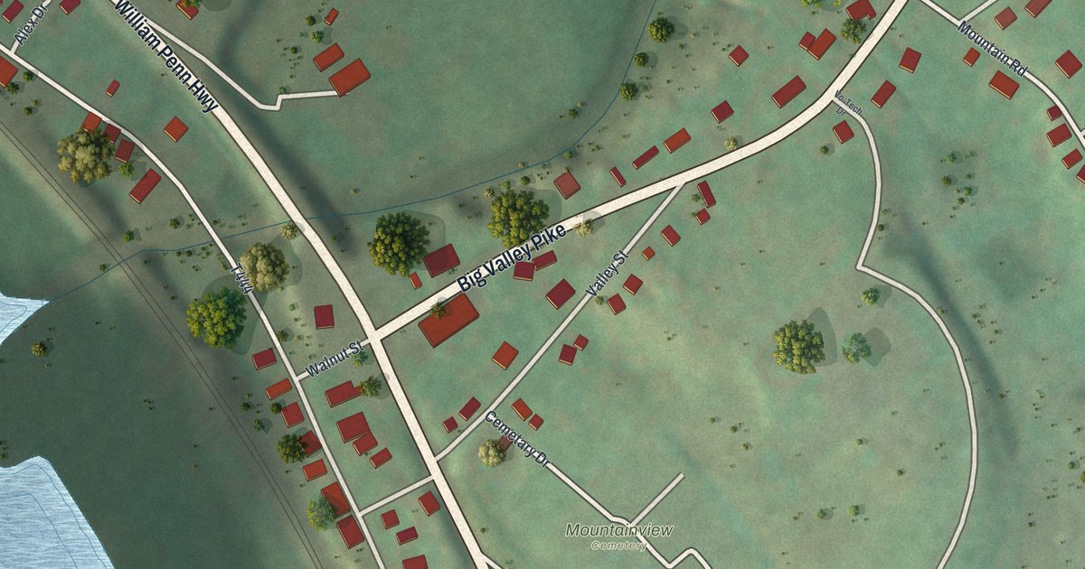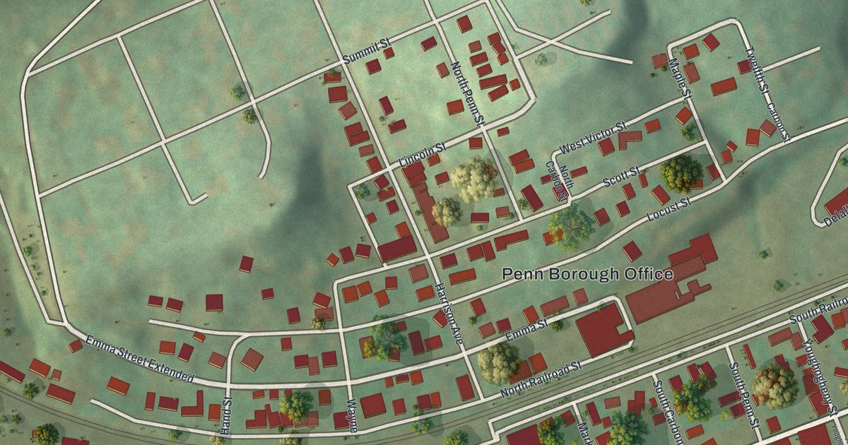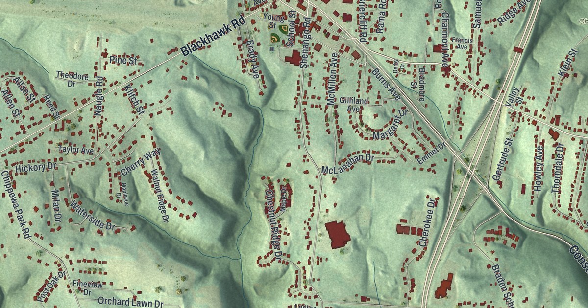
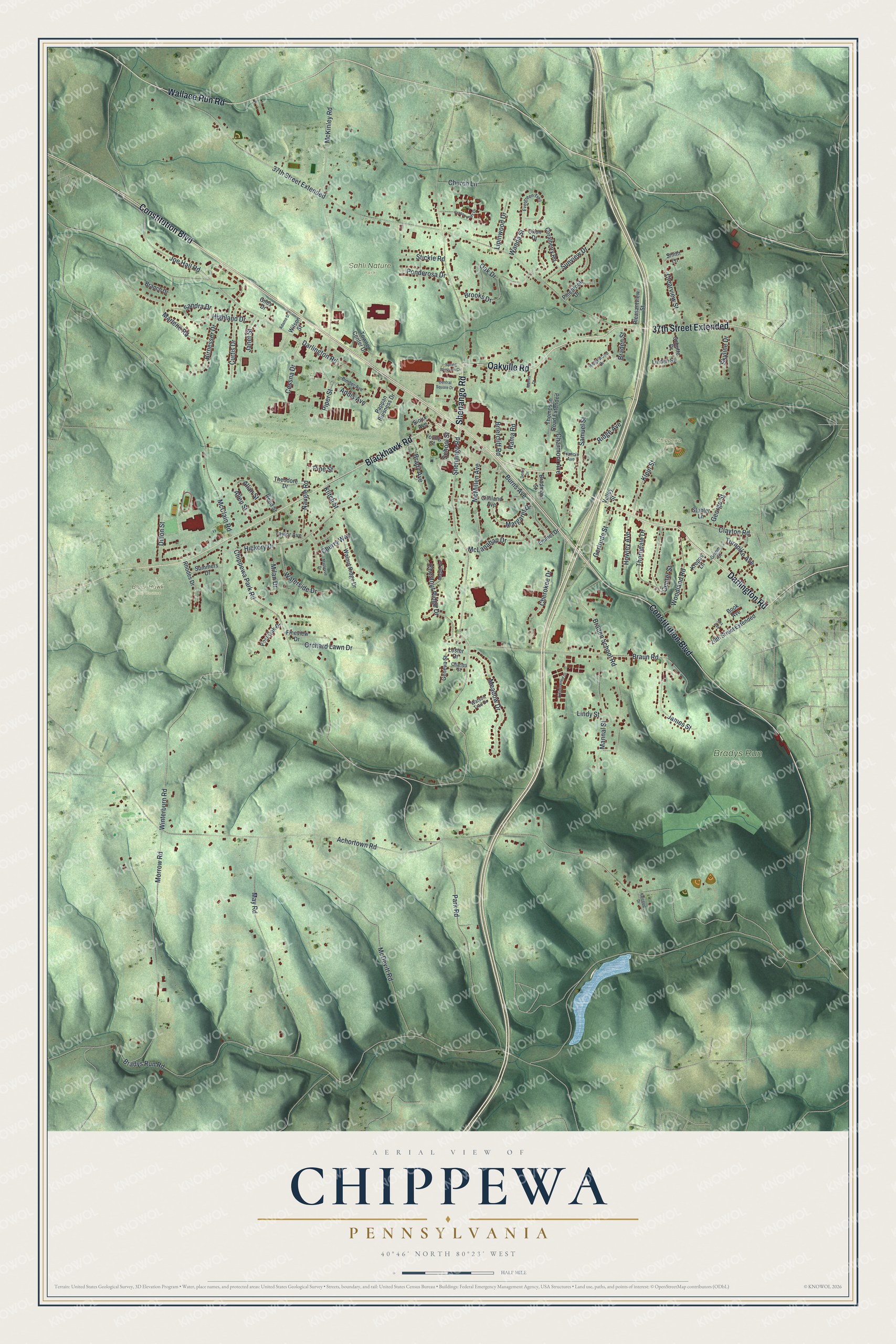
This beautifully detailed map of Chippewa, Pennsylvania was created in 2026 using aerial imagery combined with modern topographical, census, street and landmark data. It's a modern aerial view of Chippewa in Beaver County, Pennsylvania, that combines modern data with a vintage aesthetic. The roads feature printed names, and if you look closely you can find your exact house accurately shown in its correct location.
Explore an aerial view of Chippewa, Pennsylvania
On this map you'll find Black Hawk Golf Course, Bradys Run Park, Chippewa Park, Sahli Nature Park, Oakville Road, Shenango Road, Darlington Road, Constitution Boulevard, Blackhawk Road, 37th Street Extended, Wallace Run Road, Chippewa Park Road, and more. Each red shape is a building, so zoom in on the preview and look for yours.
Every town has a first chapter, and Chippewa is no exception. The record at data.pa.gov puts it this way: "At Shippingport was the world's first full-scale atomic power station devoted to civilian needs."
Chippewa is a place in Beaver County. The Census Bureau counted 8,042 people here in 2020.
Take a closer look at the Chippewa map
Names on this map
These names are printed on this map.
Places: Black Hawk Golf Course, Bradys Run Park, Chippewa Park and Sahli Nature Park.
Streets and roads: Oakville Road, Shenango Road, Darlington Road, Constitution Boulevard, Blackhawk Road, 37th Street Extended, Wallace Run Road, Chippewa Park Road, Park Road, Burns Avenue, Braden School Road, Winterburn Road.
More street names, A to Z
20th Street Extended, Achortown Road, Adams Street, Addis Avenue, Allan Street, Allen Street, Bimber Avenue, Birnesser Drive, Book Avenue, Braden Street, Bradmore Street, Brady Avenue, Bradys Run Road, Branch Drive, Braun Road, Briercliff Road, Brooks Drive, Center Street, Central Square Drive, Cessna Drive, Charles Street, Charmont Avenue, Cherokee Drive, Cherry Way, Chestnut Ridge Drive, Church Lane, Clayton Road, Clearview Street, Coralberry Road, Crosswynds Drive, Curtis Drive, Derby Drive, Dillon Street, Emmet Drive, Evergreen Trail, Fineview Drive, Fox Avenue, Francis Avenue, Geneva Street, George Street, Gertrude Street, Giles Drive, Gilliland Avenue, Grimm Street, Hickory Drive, Highland Drive, Howley Avenue, James Street, Janet Street, Joe Hall Road, Kalcevic Drive, Klein Street, Klitch Street, Krepps Lane, Lester Drive, Linden Street, Lindy Street, Lipinwood Drive, Mannal Street, Maple Drive, Maplevue Drive, Margaret Drive, Marlene Road, May Road, McClain Road, McDevitt Road, McKinley Road, McLanahan Drive, McMillen Avenue, Meadow Drive, Mervis Drive, Milan Drive, Morrow Road, Naugle Road, Oak Drive, Okon Drive, Orchard Lawn Drive, Pappan Buisness Drive, Pinebrook Drive, Pine Street, Piper Street, Pleasantview Street, Ponderosa Drive, Post Oak Drive, Rama Road, Reed Street, Rhodes Drive, Ridge Avenue, Ridgewood Drive, Samuel Street, Sandra Drive, School Street, Schutte Drive, Sioux Avenue, Skyline Drive, Smith Lane, Spring Blossom Circle, Stickle Road, Stubler Lane, Summers Drive, Sunview Drive, Taylor Avenue, Theodore Drive, Thompson Road Extended, Thorndale Drive, Timberwood Drive, Towne Center Drive, Turnpike Avenue, Valley Street, Walnut Ridge Drive, Wanda Street, Waterside Drive, Watson Trail Drive, Wilson Street, Woodland Road, Young Street.
Created by KNOWOL in 2026. The buildings are small red shapes, the roads carry their printed names, and shaded relief shows the shape of the land. The title panel reads "AERIAL VIEW OF CHIPPEWA PENNSYLVANIA" with 4, 0, °, 4, 6, ', , N, O, R, T, H, , 8, 0, °, 2, 3, ', , W, E, S, T.
Hang it in the hallway, the office or the cabin, or give it to someone who left Chippewa and still calls it home. Open the preview and look for a street you know. See sizes and frames for the Chippewa map.