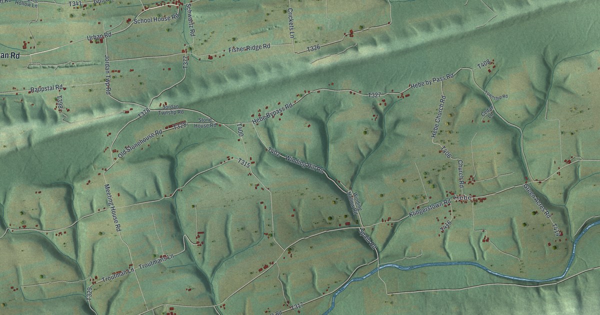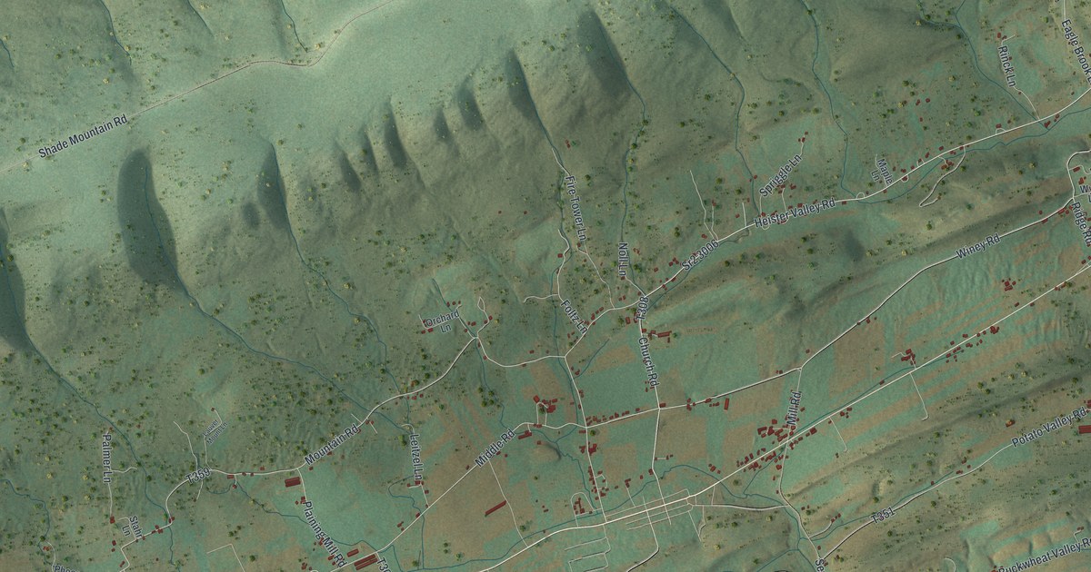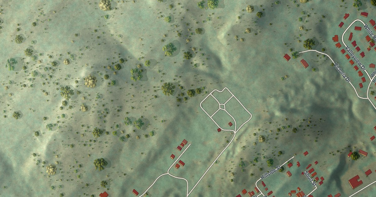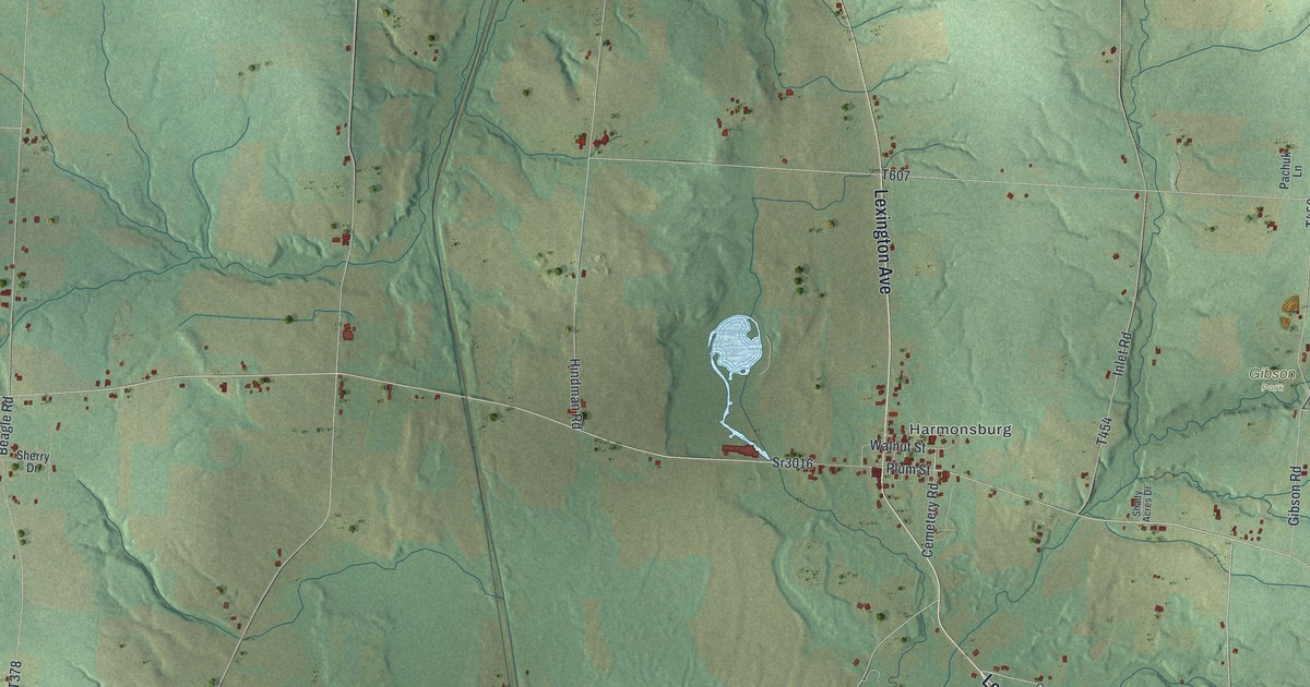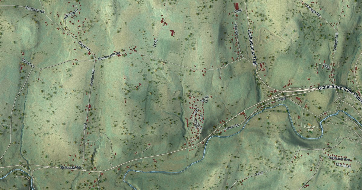
This beautifully detailed map of Clinton, Wyoming County, Pennsylvania was created in 2026 using aerial imagery combined with modern topographical, census, street and landmark data. It’s a one-of-a-kind view of Clinton that combines accurate data with a vintage aesthetic. The map shows every building in its true location, many of the roads carry their names, and the shaded topographic relief shows the shape of the land.
Explore an aerial view of Clinton, Wyoming County, Pennsylvania
On the map you’ll find Carpenter Hollow and Creekside Park, along with Lackawanna Trail, Grand Army of the Republic Highway, Lithia Valley Road, Lake Winola Road, Carpenter Road, Bunker Hill Road, Tunnel Hill Road, and more. If you look closely you can even find your house accurately drawn in its correct location. Zoom in on the preview to look for yours.
Did you know this piece of Clinton, Wyoming County, Pennsylvania history?
Clinton Township was formed from parts of several Wyoming County townships. Its people asked for the name Harmony, but the judges on the bench chose Clinton instead. The first settlers came from Rhode Island. Robert, Phineas, Oliver and Solomon Reynolds arrived in 1798, and Stephen Capwell and his sons followed in 1800. That’s from the 1883 History of the Commonwealth.
Take a closer look at the Clinton, Wyoming County map
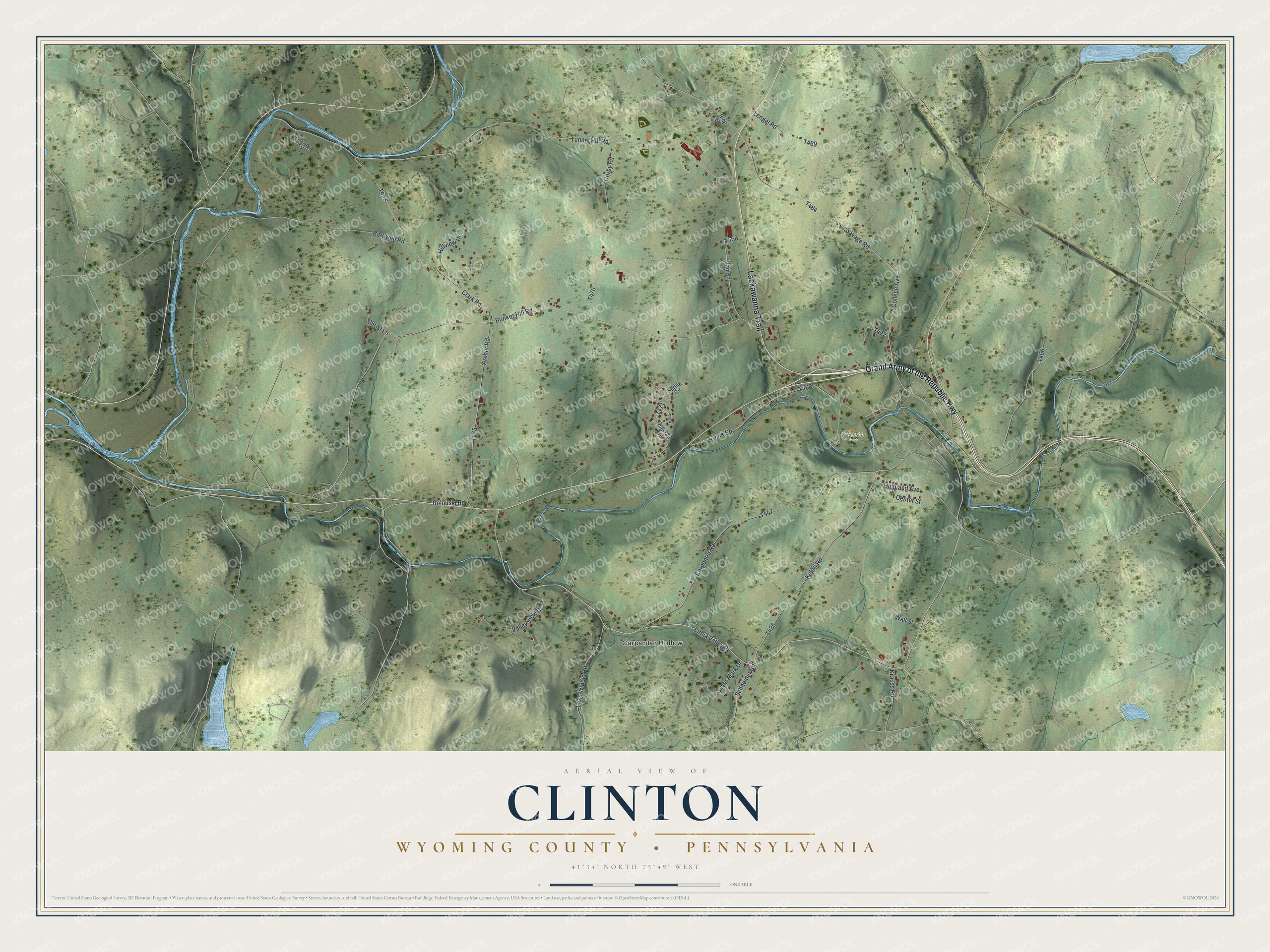
Street and place names on the Clinton, Wyoming County, Pennsylvania map
These names are printed on the map of Clinton, Wyoming County, Pennsylvania.
Places: Carpenter Hollow and Creekside Park.
Streets and roads: Lackawanna Trail, Grand Army of the Republic Highway, Lithia Valley Road, Lake Winola Road, Carpenter Road, Bunker Hill Road, Tunnel Hill Road, College Avenue, Kehrli Road, Creek Road, Clark Road, Savage Road.
More street names, A to Z
Archer Road, Bardwell Road, Bolouski Road, Center Street, Christ Lane, Concord Avenue, Corby Road, Highland Avenue, Hillview Drive, Krauss Road, Lengel Road, Ring Road, Schneider Road, Silver Mark Drive, Spring Circle, Stapleton Est, Vail Road, Valley View Drive, Wall Street.
See the Clinton, Wyoming County, Pennsylvania map on a wall
The Clinton, Wyoming County map as an 18 x 24 inch print in a black frame.

This beautifully detailed map of Clinton, Wyoming County makes an attractive addition to your office, library, or den, and it can even be used to teach children the geography and history of the area. It also makes a great gift for someone who left Clinton and still calls it home. When you’re done exploring, click here to get your copy of the Clinton, Wyoming County map.