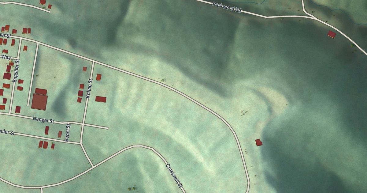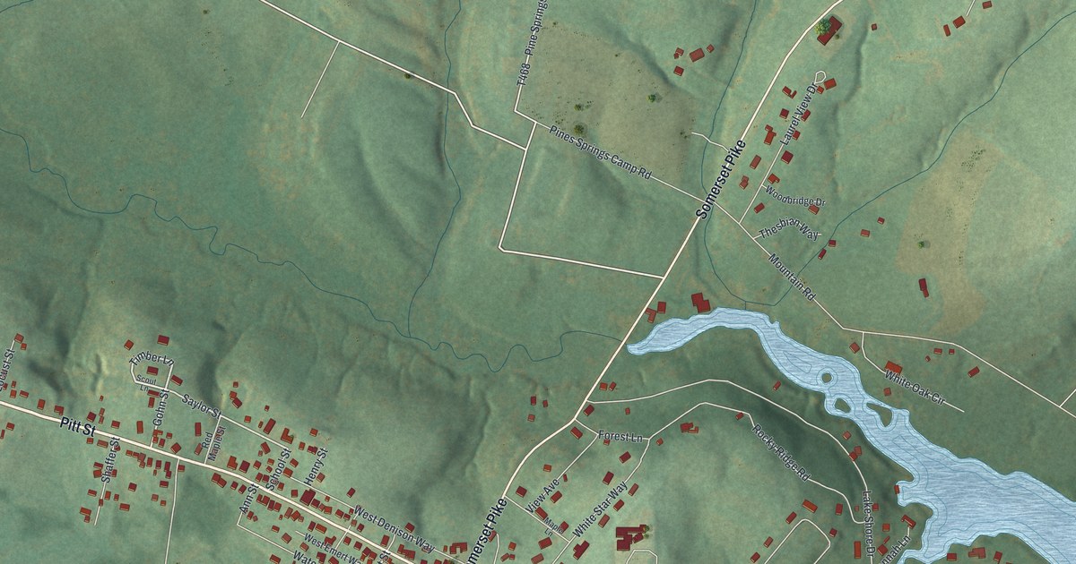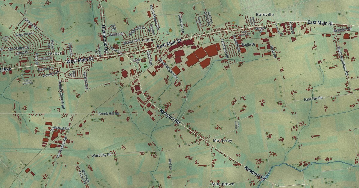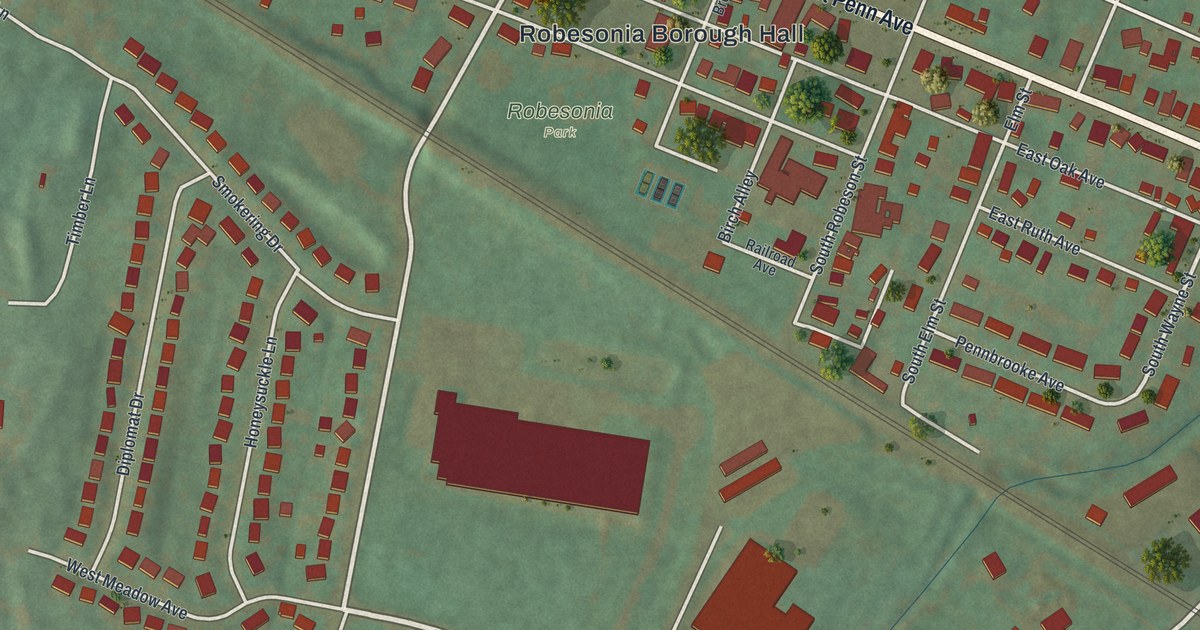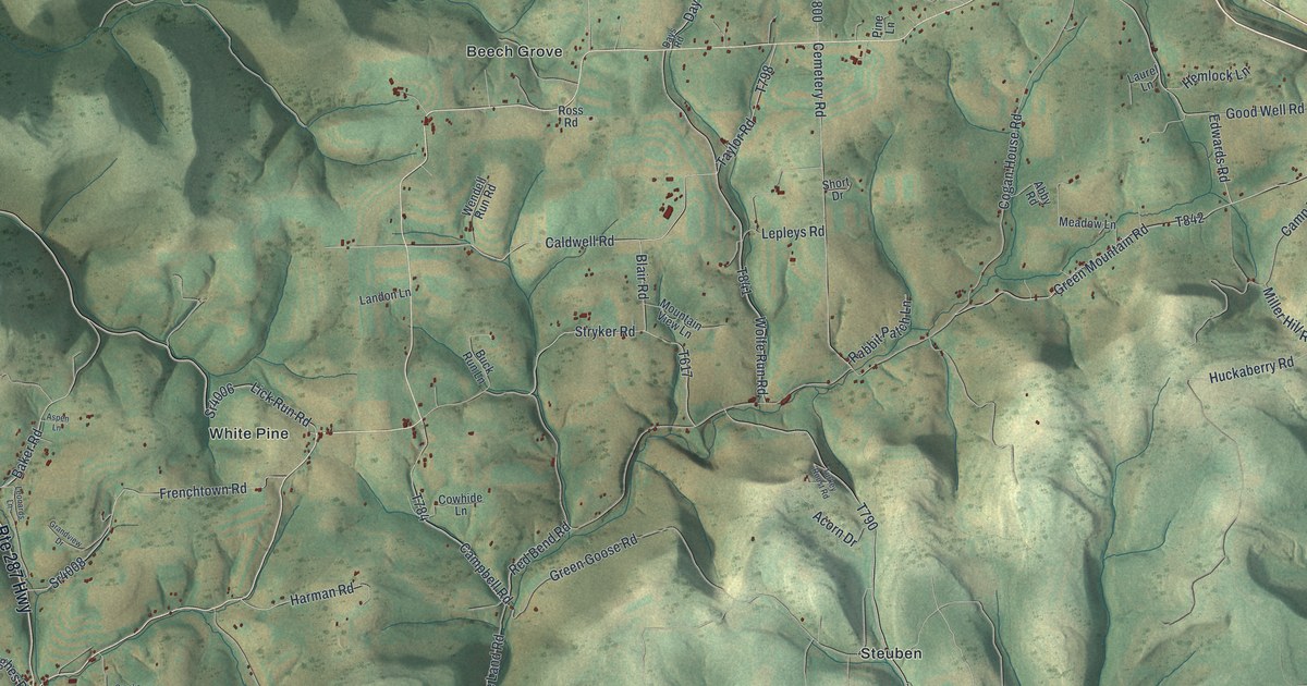
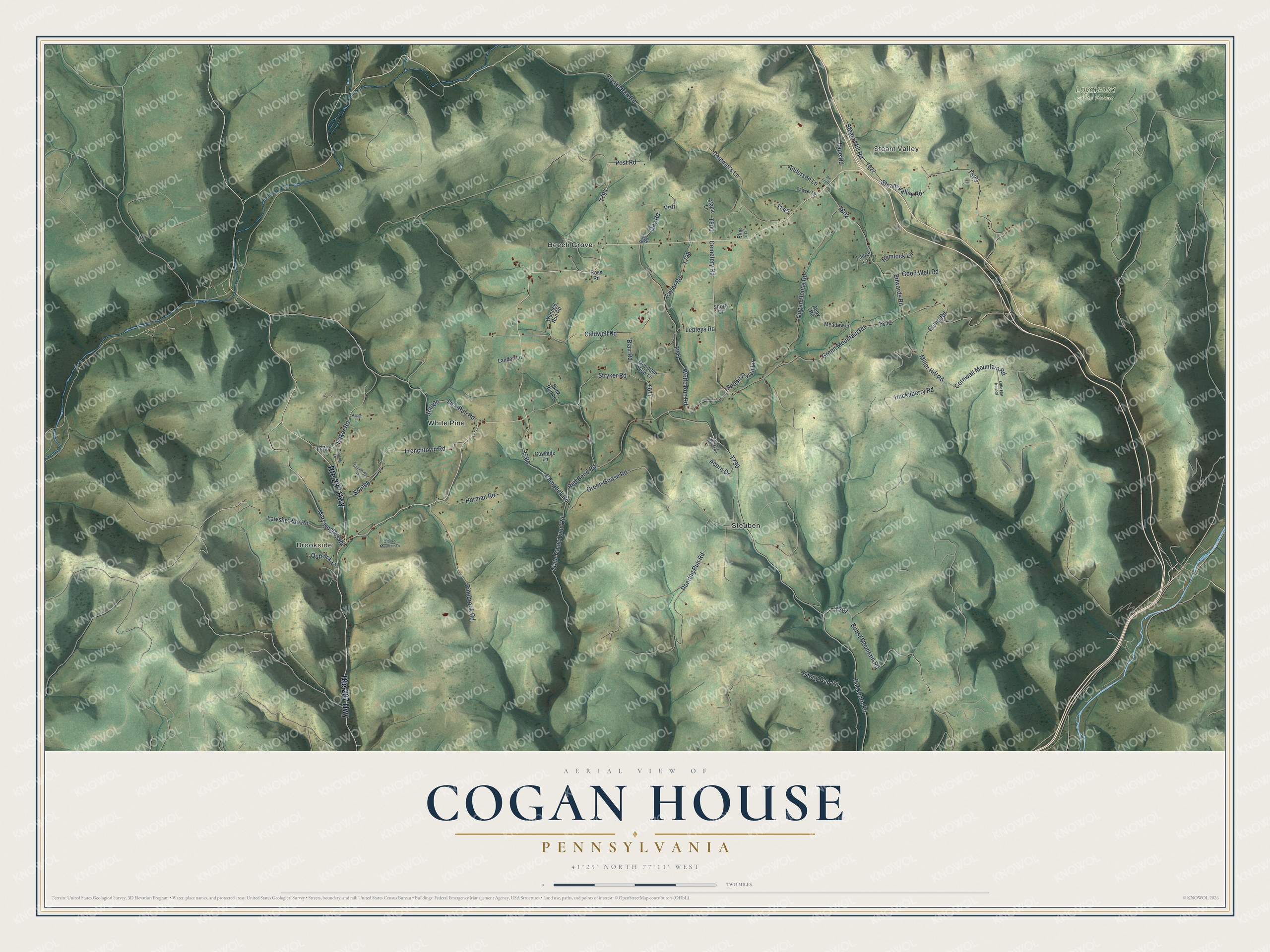
This beautifully detailed map of Cogan House, Pennsylvania was created in 2026 using aerial imagery combined with modern topographical, census, street and landmark data. It's a modern aerial view of Cogan House in Lycoming County, Pennsylvania, that combines modern data with a vintage aesthetic. The roads feature printed names, and if you look closely you can find your exact house accurately shown in its correct location.
Explore an aerial view of Cogan House, Pennsylvania
On this map you'll find Steam Valley, Brookside, Loyalsock State Forest, Beech Grove, Steuben, White Pine, Huckaberry Road, Lick Run Road, Sr4006, Cornwall Mountain Road, State Game Land Road, Steam Valley Road, and more. Each red shape is a building, so zoom in on the preview and look for yours.
Cogan House is a place in Lycoming County. The Census Bureau counted 935 people here in 2020. The map prints the town name in its title panel, with the coordinates below it.
Take a closer look at the Cogan House map
Names on this map
These names are printed on this map.
Places: Steam Valley, Brookside, Loyalsock State Forest, Beech Grove, Steuben and White Pine.
Streets and roads: Route 287 Highway, Huckaberry Road, Lick Run Road, Sr4006, Cornwall Mountain Road, State Game Land Road, Steam Valley Road, Campbell Road, Cogan House Road, Buckhorn Road, Green Mountain Road, Green Goose Road.
More street names, A to Z
Abby Road, Acorn Drive, Anderson Lane, Aspen Lane, Baker Road, Blair Road, Bobst Mountain Road, Buck Run Lane, Caldwell Road, Camp Road, Cemetery Road, Cowhide Lane, Crooks Mountain Drive, Day Road, Days Road, Dommel's Lane, Edwards Road, Flooks Run Road, Frenchtown Road, Good Well Road, Grandview Drive, Harman Road, Hemlock Lane, Ike Fry Drive, Landon Lane, Lane Road, Laurel Lane, Lawshe Run Road, Leonards Lane, Lepleys Road, Little Flat Iron Road, Maple Lane, Mary Hughes Road, Meadow Lane, Miller Hill Road, Mountain View Lane, Outback Lane, Pinebrook Road, Pine Lane, Post Road, Prdr, Rabbit Patch Lane, Red Bend Road, Roaring Run Road, Ross Road, Sawyer Lane, Short Drive, Sr4008, Steam Mill Road, Stony Gap Road, Stryker Road, Taylor Road, Turkey Roost Road, Wendell Run Road, Wolfe Run Road.
Created by KNOWOL in 2026. The buildings are small red shapes, the roads carry their printed names, and shaded relief shows the shape of the land. The title panel reads "AERIAL VIEW OF COGAN HOUSE PENNSYLVANIA" with 4, 1, °, 2, 5, ', , N, O, R, T, H, , 7, 7, °, 1, 1, ', , W, E, S, T.
It looks right in a kitchen, an office or a den, and it's a gift for anyone who grew up in Cogan House or moved away. Open the preview and find your street. See sizes and frames for the Cogan House map.