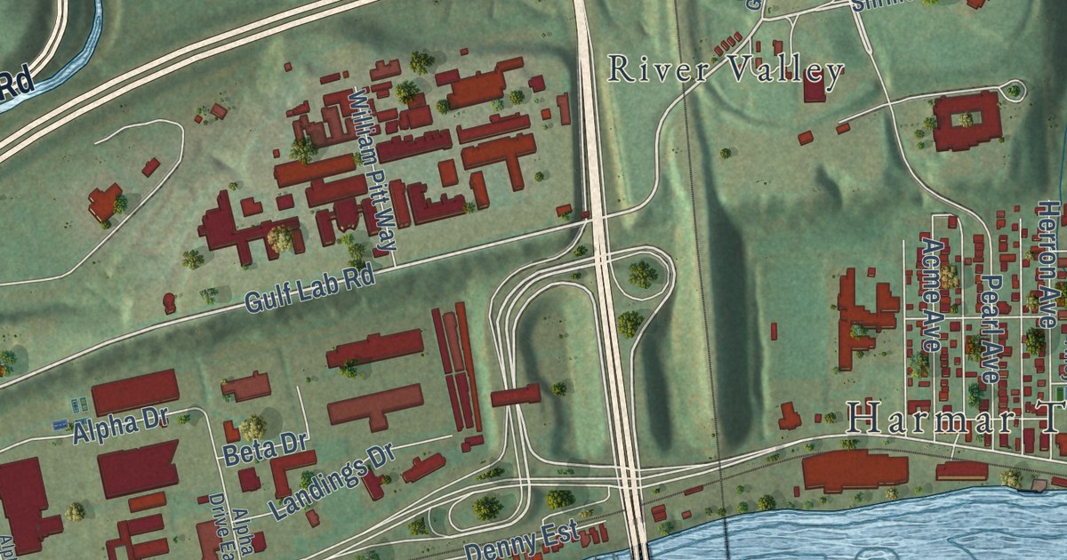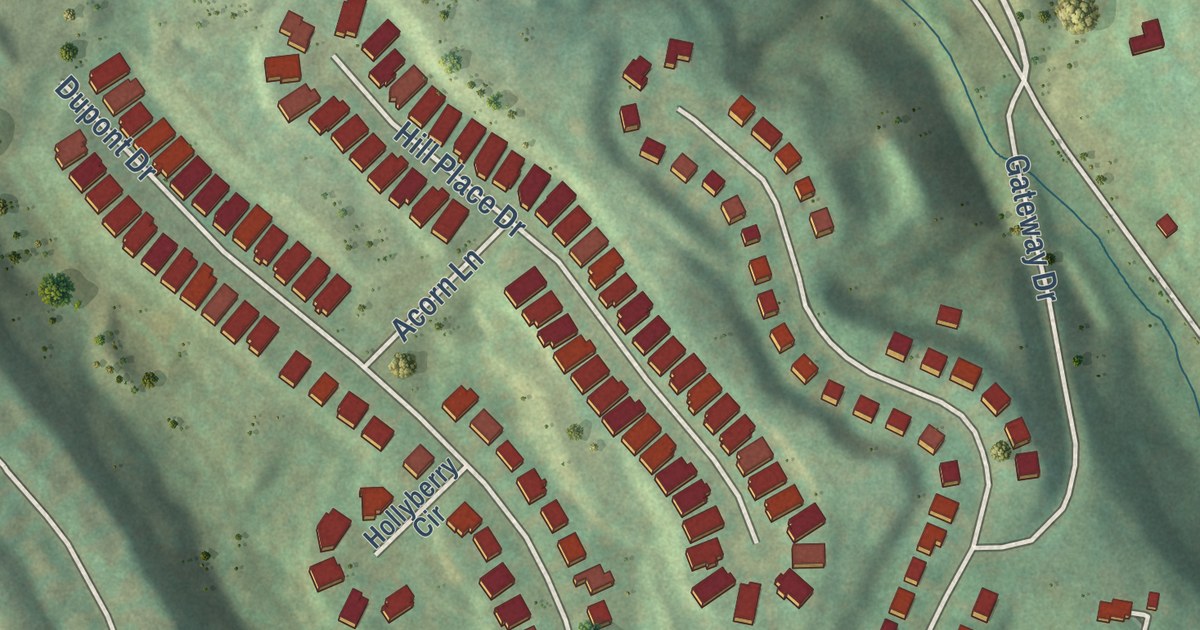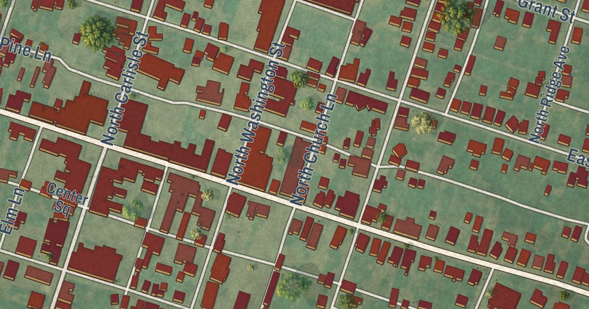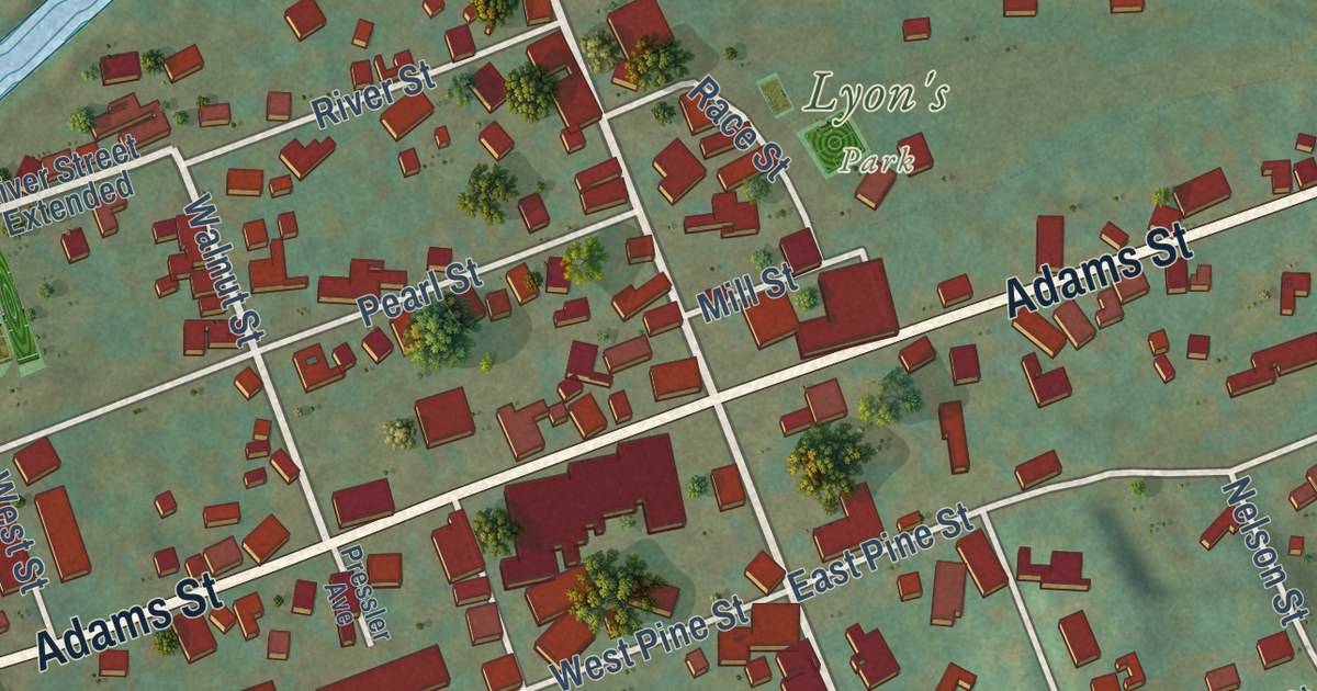
This beautifully detailed map of Cochranton, Pennsylvania was created in 2026 using aerial imagery combined with modern topographical, census, street and landmark data. It’s a one-of-a-kind view of Cochranton that combines accurate data with a vintage aesthetic. The map shows every building in its true location, many of the roads carry their names, and the shaded topographic relief shows the shape of the land.
Explore an aerial view of Cochranton, Pennsylvania
On the map you’ll find Lyon’s Park, along with Twenty-Eighth Division Highway, Adams Street, North Franklin Street, North Street, South Franklin Street, North Hart Road, Walnut Street, Oak Street, Pettis Road, Ridgeway Hill Road, High Street, and more. If you look closely you can even find your house accurately drawn in its correct location. Zoom in on the preview to look for yours.
Did you know this piece of Cochranton, Pennsylvania history?
From the Pennsylvania Historical and Museum Commission: "The excavation of three overlapping palisaded villages on this site has provided data about settlement patterns of the French Creek Valley. Artifacts left by the peoples living here from 1100 AD to 1500 AD indicate a subsistence based on seasonal hunting, gathering, and light farming. Shell-tempered pottery with a distinctive design known as McFate Incised has helped identify tribal movement across the landscape and potential trade routes."
Take a closer look at the Cochranton map
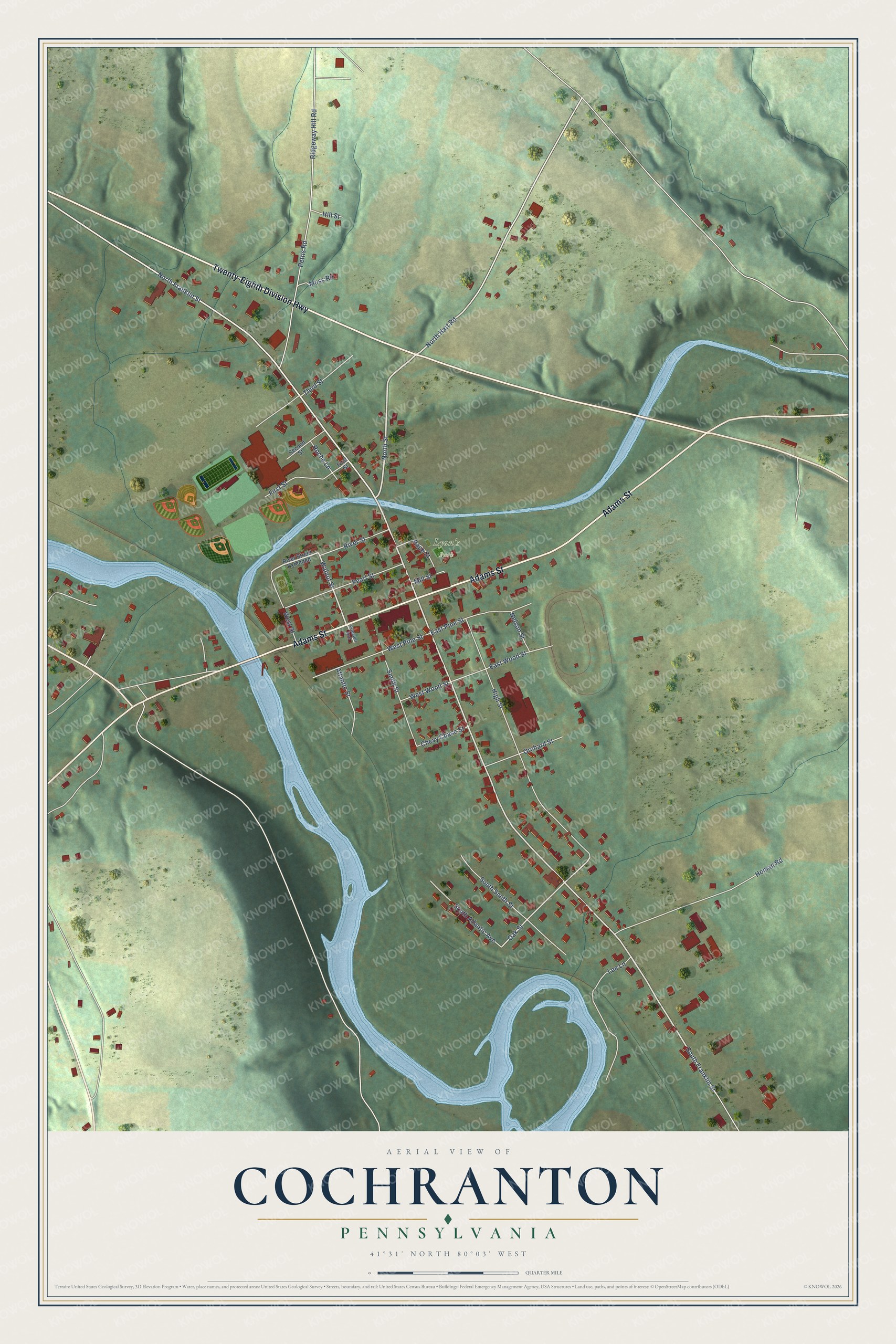
Street and place names on the Cochranton, Pennsylvania map
These names are printed on the map of Cochranton, Pennsylvania.
Places: Lyon's Park.
Streets and roads: Twenty-Eighth Division Highway, Adams Street, North Franklin Street, North Street, South Franklin Street, North Hart Road, Walnut Street, Oak Street, Pettis Road, Ridgeway Hill Road, High Street, Homan Road.
More street names, A to Z
Atlantic Street, Chevy Chase Street, East Pine Street, East Wood Street, First Street, Hill Street, Lee Lane, Mill Street, Moss Road, Nelson Street, Orchard Street, Pearl Street, Pressler Avenue, Race Street, River Street, River Street Extended, Roche Lane, Second Street, Smith Street, South Atlantic Avenue, South Smith Street, Third Street, West Pine Street, West Street, West Wood Street.
See the Cochranton, Pennsylvania map on a wall
The Cochranton map as an 18 x 24 inch print in a black frame.

This beautifully detailed map of Cochranton makes an attractive addition to your office, library, or den, and it can even be used to teach children the geography and history of the area. It also makes a great gift for anyone who grew up in Cochranton or moved away. When you’re done exploring, click here to get your copy of the Cochranton map.