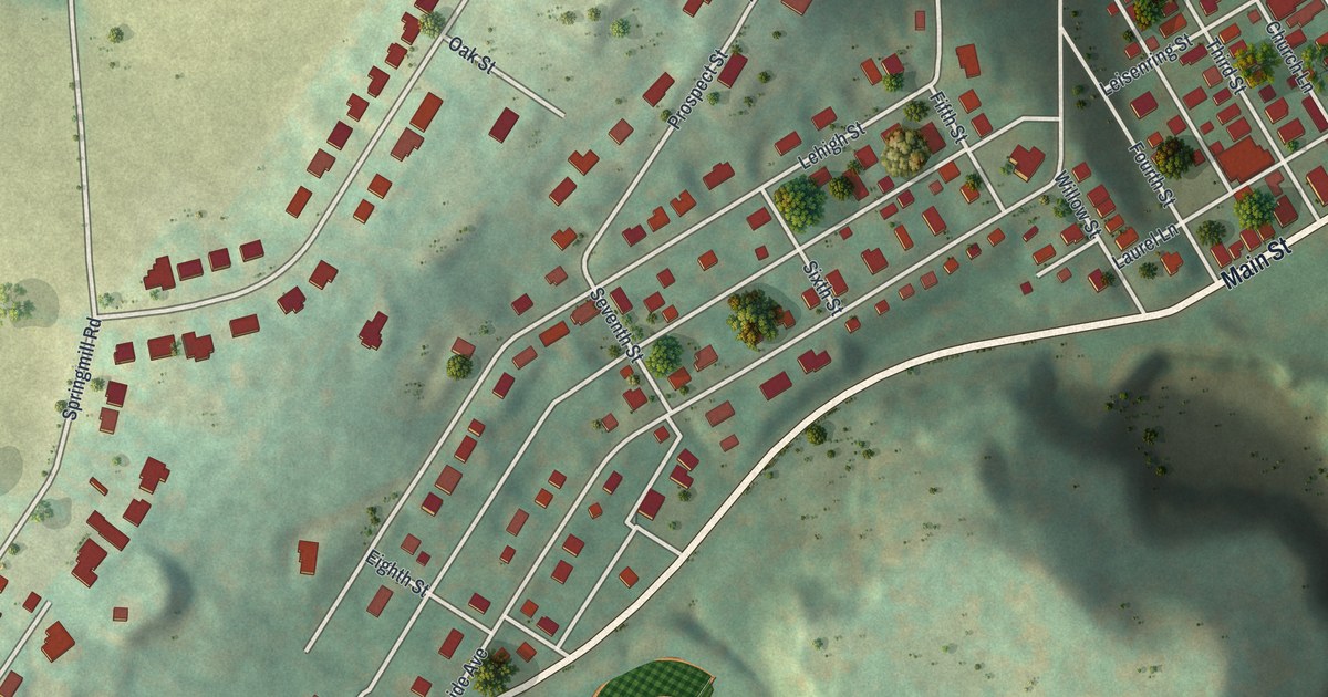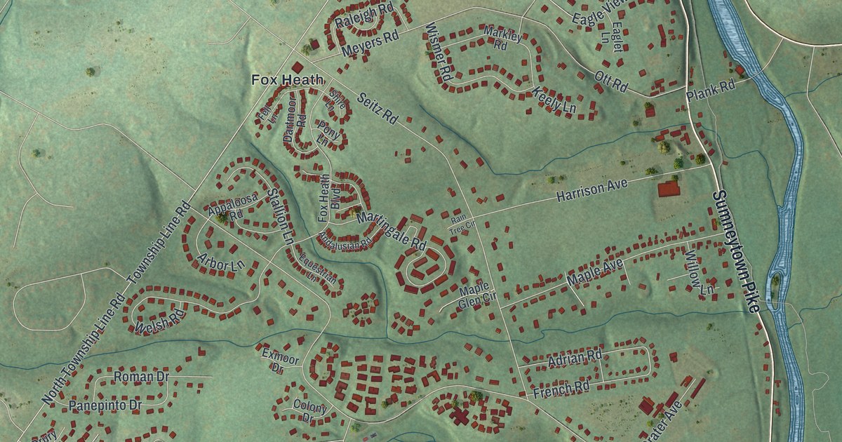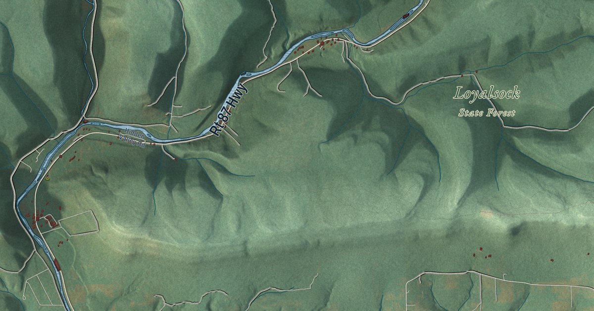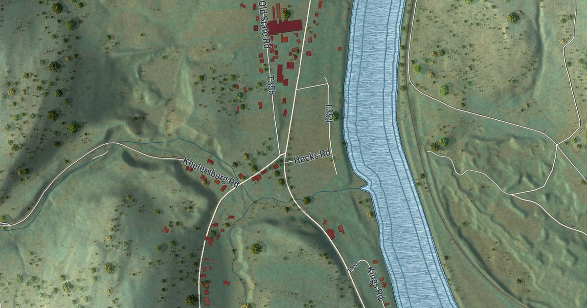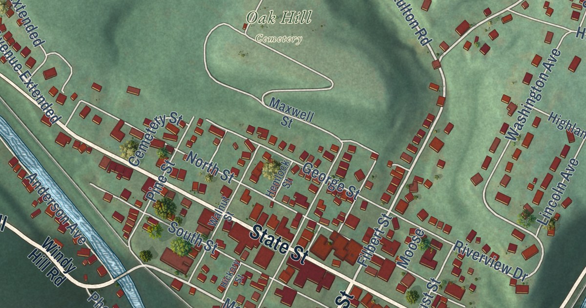
This beautifully detailed map of Curwensville, Pennsylvania was created in 2026 using aerial imagery combined with modern topographical, census, street and landmark data. It’s a one-of-a-kind view of Curwensville that combines accurate data with a vintage aesthetic. The map shows every building in its true location, many of the roads carry their names, and the shaded topographic relief shows the shape of the land.
Explore an aerial view of Curwensville, Pennsylvania
On the map you’ll find Irvin Park, Oak Hill Cemetery, and Windy Hill, along with Filbert Street, Susquehanna Avenue, Grampian Road, Curwensville Grampian Highway, State Street, Windy Hill Road, Schofield Street, Meadow Street, Naulton Road, and more. If you look closely you can even find your house accurately drawn in its correct location. Zoom in on the preview to look for yours.
Did you know this piece of Curwensville, Pennsylvania history?
From the Pennsylvania Historical and Museum Commission: "While working for the Clearfield Cheese Co. on nearby Meadow St., he invented the first commercially successful process for individually wrapped cheese slices. A patent was issued in 1956. An engineer, Nawrocki secured eleven food processing patents over his career."
Take a closer look at the Curwensville map
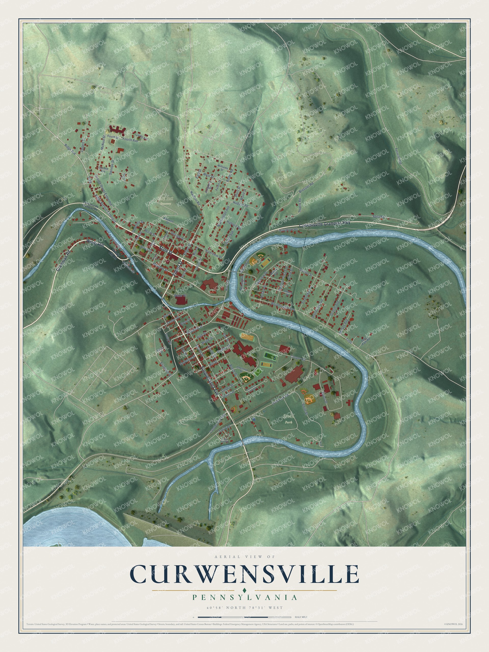
Street and place names on the Curwensville, Pennsylvania map
These names are printed on the map of Curwensville, Pennsylvania.
Places: Irvin Park and Oak Hill Cemetery.
Streets and roads: Susquehanna Avenue, Filbert Street, Grampian Road, Curwensville Grampian Highway, State Street, Windy Hill, Schofield Street, Meadow Street, Ridge Avenue Extended, Naulton Road, Bailey Road, Spila Road.
More street names, A to Z
Allegheny Street, Anderson Avenue, Anderson Street, Ann Street, Ardary Avenue, Ardary Street, Arnoldtown Road, Bailor Drive, Beech Street, Bloomington Avenue, Bloom Street, Bradley Street, Bressler Road, Cemetery Street, Center Street, Chestnut Street, Clark Street, Cooper Road, Curwensville Grampian Road, Daisy Street, Deer Path Road, East Street, Eastview Drive, Elizabeth Street, Elm Street, Ferncliff Road, Fourth Avenue, Fourth Street, Fredricka Avenue, Fulton Drive, George Street, George Street Extended, Glenn Street, Grandview Avenue, Griffith Avenue, Helen Street, Hemlock Street, Hickory Street, Highland Avenue, High Street, Hill Street, Hudson Road, Irvin Park Road, James Street, Kent Street, Lincoln Avenue, Linden Street, Lippert Street, Locust Street, Lumber City Highway, Maple Street, Maxwell Street, McGee Avenue, McLaughlin Street, McNaul Street, Moose, North Street, Oak Street, Park Avenue, Park Avenue Extended, Pennsylvania Avenue, Phoenix Street, Pine Street, Ridge Avenue, River Street, Riverview Drive, School Street, Second Avenue, Short Street, Smith Street, South Street, Stadium Drive, Station Street, Summit Street, Swoope Street, Tkacik Road, Trail End, Trails End Road, Walnut Street, Washington Avenue, Water Street, West Street, Williams Street, Windy Hill Road, Wisor Drive, Wood Street.
See the Curwensville, Pennsylvania map on a wall
The Curwensville map as an 18 x 24 inch print in a black frame.

This beautifully detailed map of Curwensville makes an attractive addition to your office, library, or den, and it can even be used to teach children the geography and history of the area. It also makes a great gift for anyone with Curwensville roots. When you’re done exploring, click here to get your copy of the Curwensville map.