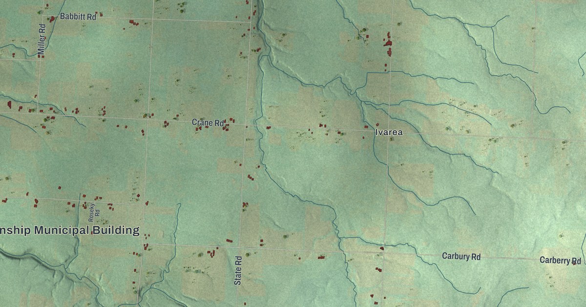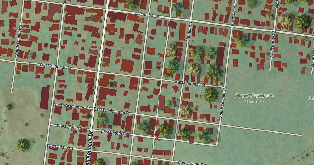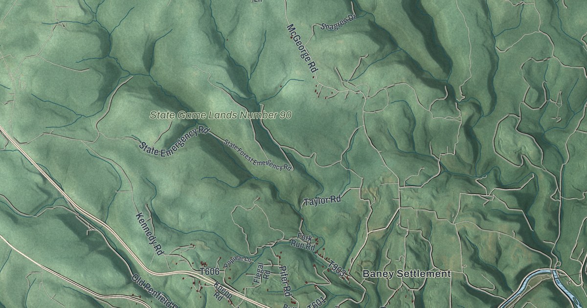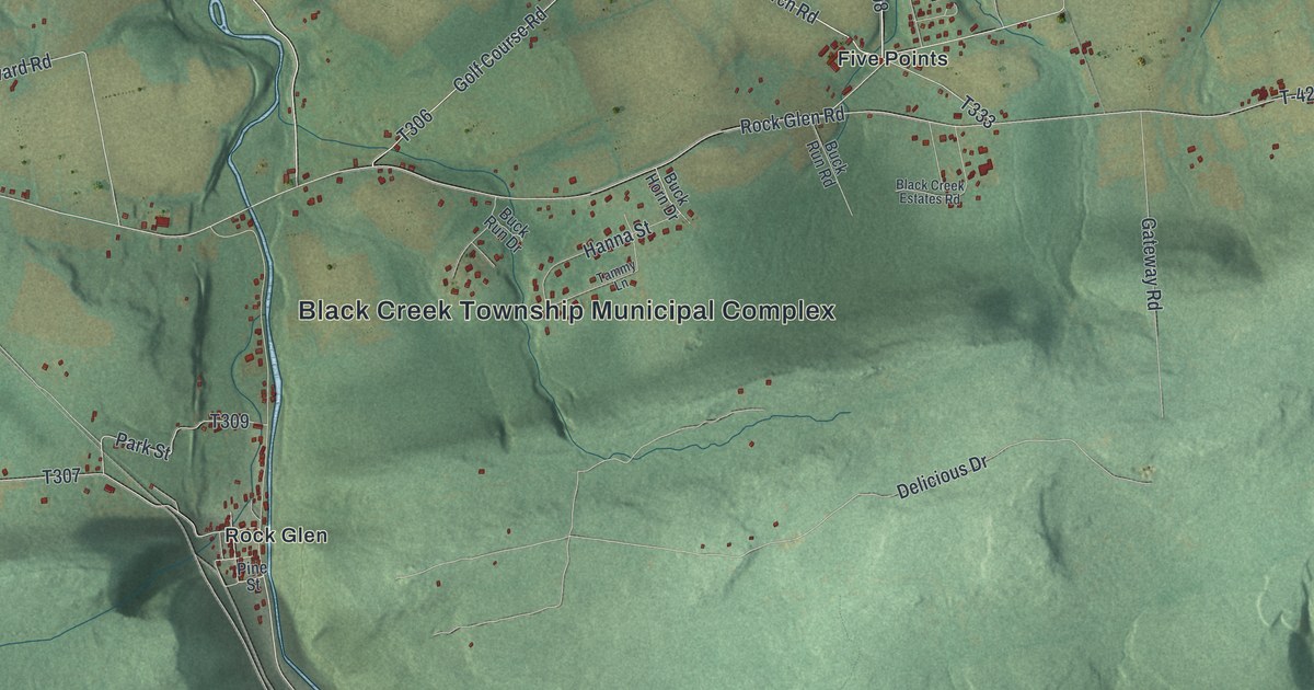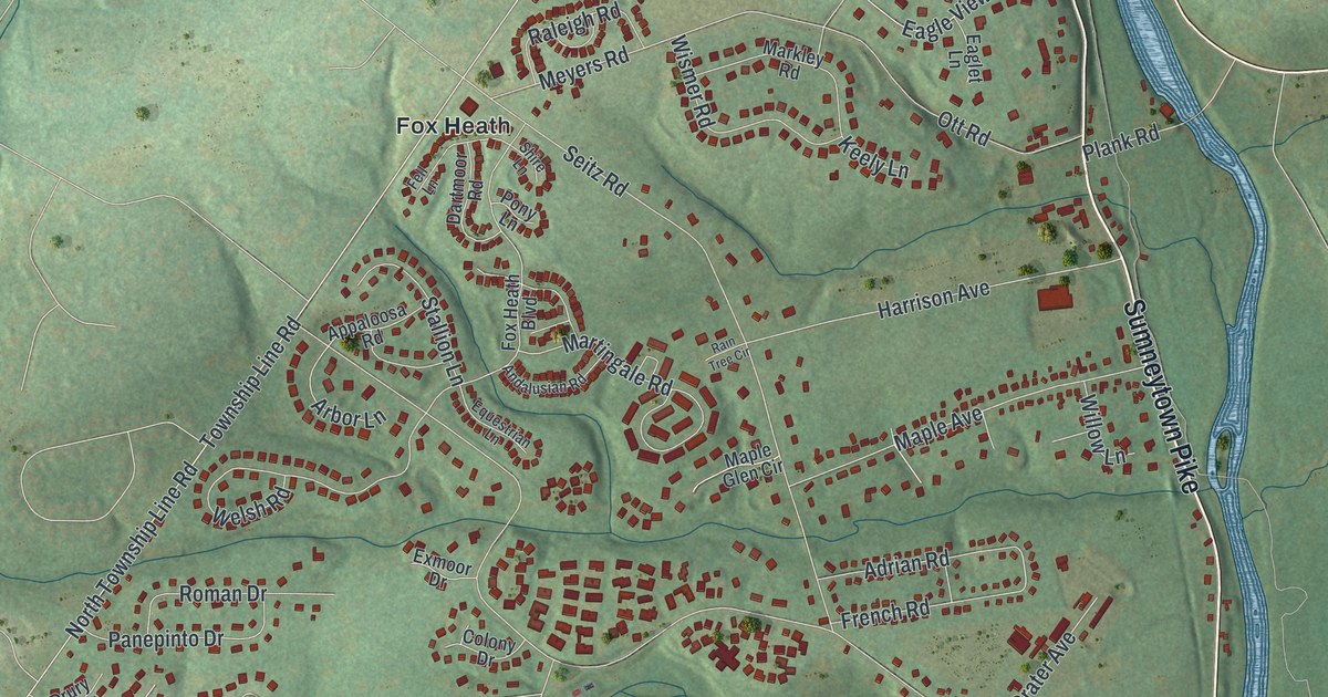
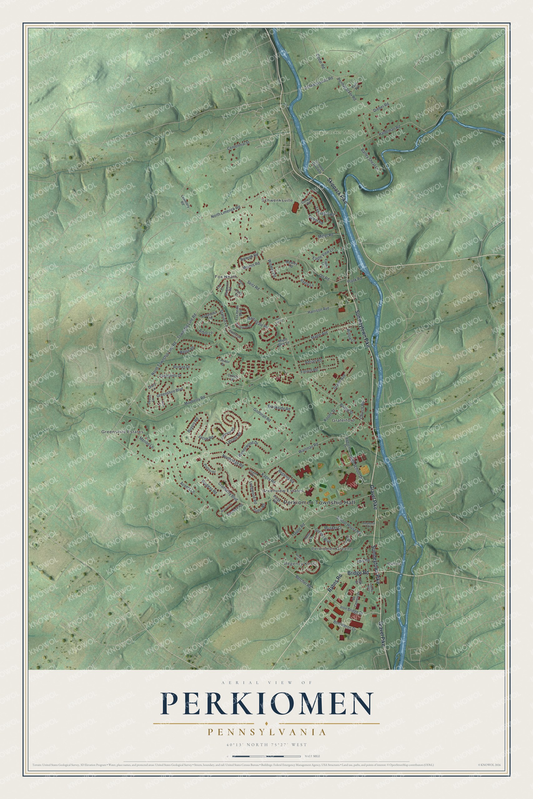
This beautifully detailed map of Perkiomen, Pennsylvania was created in 2026 using aerial imagery combined with modern topographical, census, street and landmark data. It's a modern aerial view of Perkiomen in Montgomery County, Pennsylvania, that combines modern data with a vintage aesthetic. The roads feature printed names, and if you look closely you can find your exact house accurately shown in its correct location.
Explore an aerial view of Perkiomen, Pennsylvania
On this map you'll find Perkiomen Township Hall, Pennypacker Mills, Fox Heath, Graterford, Greenshire Estates, Greenview Estates, Perkiomen Greene, Rahns, Regency Knoll, Schwenksville, Sumneytown Pike, Rahns Road, and more. Each red shape is a building, so zoom in on the preview and look for yours.
Perkiomen has a story worth telling. The Pennsylvania Historical and Museum Commission puts it this way: "Washington's headquarters, September, October 1777. Last home of Samuel W. Pennypacker, Governor of Pennsylvania, 1903-1907. He died here September 2, 1916."
Perkiomen is a place in Montgomery County. The Census Bureau counted 8,959 people here in 2020.
Take a closer look at the Perkiomen map
Names on this map
These names are printed on this map.
Places: Perkiomen Township Hall, Pennypacker Mills, Fox Heath, Graterford, Greenshire Estates, Greenview Estates, Perkiomen Greene, Rahns, Regency Knoll and Schwenksville.
Streets and roads: Sumneytown Pike, Rahns Road, Gravel Pike, Bridge Road, Skippack Pike, Iron Bridge Drive, Betcher Road, Bridge Street, Wartman Road, Tudor Road, North Township Line Road, Township Line Road.
More street names, A to Z
Abbey Lane, Acoma Lane, Adrian Road, Andalusian Road, Appaloosa Road, Arbor Lane, Barley Sheaf Lane, Blue Heron Drive, Bonnie Lane, Brighton Road, Brookside Road, Burgess Road, Buyers Road, Cedar Road, Cemetery Road, Centennial Street, Church Road, Colony Drive, Common Driveway, Concord Road, Cranberry Boulevard, Dartmoor Road, Devon Lane, Dieber Road, Drury Lane, Eaglet Lane, Eagle View Lane, Ellis Road, Equestrian Lane, Exmoor Drive, Fell Lane, Forge Road, Fox Heath Boulevard, French Road, Glendale Road, Godshall Road, Gp Cement Drive, Grater Avenue, Greene Boulevard, Greenshire Boulevard, Haldeman Road, Hamilton Road, Harrison Avenue, High School Drive, Highschool Drive, Jacob Road, Johnson Road, Kagey Road, Keely Lane, Koons Street, Lexington Road, Liberty Alley, Lincoln Road, Longwood Road, Maple Avenue, Maple Glen Circle, Markley Road, Martingale Road, Mayberry Road, Merion Lane, Meyers Road, Miller Road, Musket Court, North Limerick Road, Northridge Road, Oak Street, Ott Road, Panepinto Drive, Park Avenue, Pennypacker Road, Plank Road, Pony Lane, Rain Tree Circle, Raleigh Road, Regents Road, Roman Drive, Ross Lane, Salem Road, School House Road, Schwenksville Road, Seitz Road, Shire Lane, Stallion Lane, Stephanie Lane, Stewart Road, Trappe Road, Welsh Road, Westover Road, Willow Lane, Wismer Road, Wynnewood Drive.
Created by KNOWOL in 2026. The buildings are small red shapes, the roads carry their printed names, and shaded relief shows the shape of the land. The title panel reads "AERIAL VIEW OF PERKIOMEN PENNSYLVANIA" with 4, 0, °, 1, 3, ', , N, O, R, T, H, , 7, 5, °, 2, 7, ', , W, E, S, T.
It looks right in a kitchen, an office or a den, and it's a gift for anyone who grew up in Perkiomen or moved away. Open the preview and find your street. See sizes and frames for the Perkiomen map.