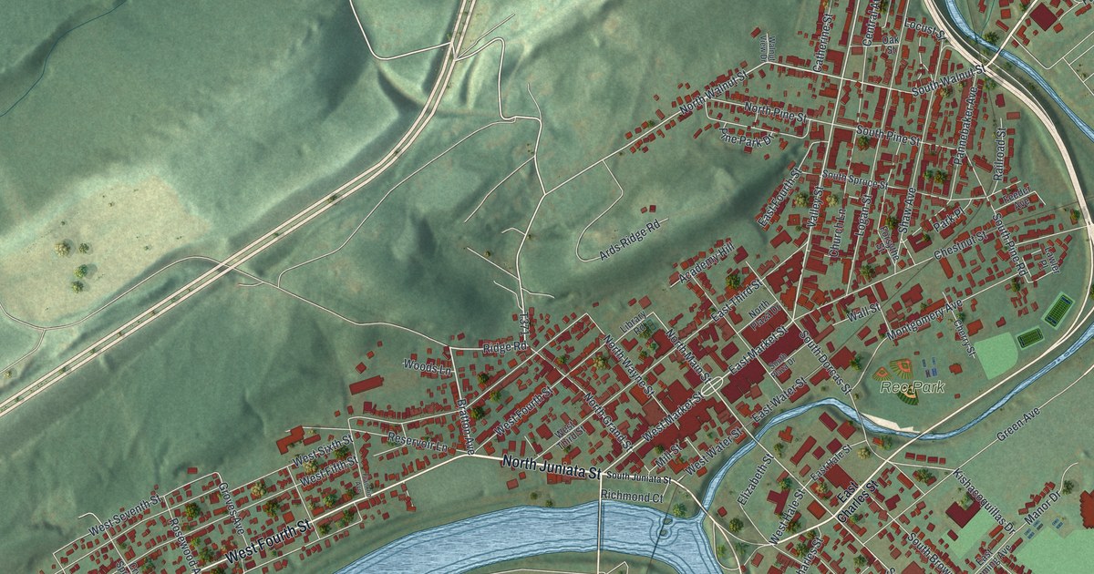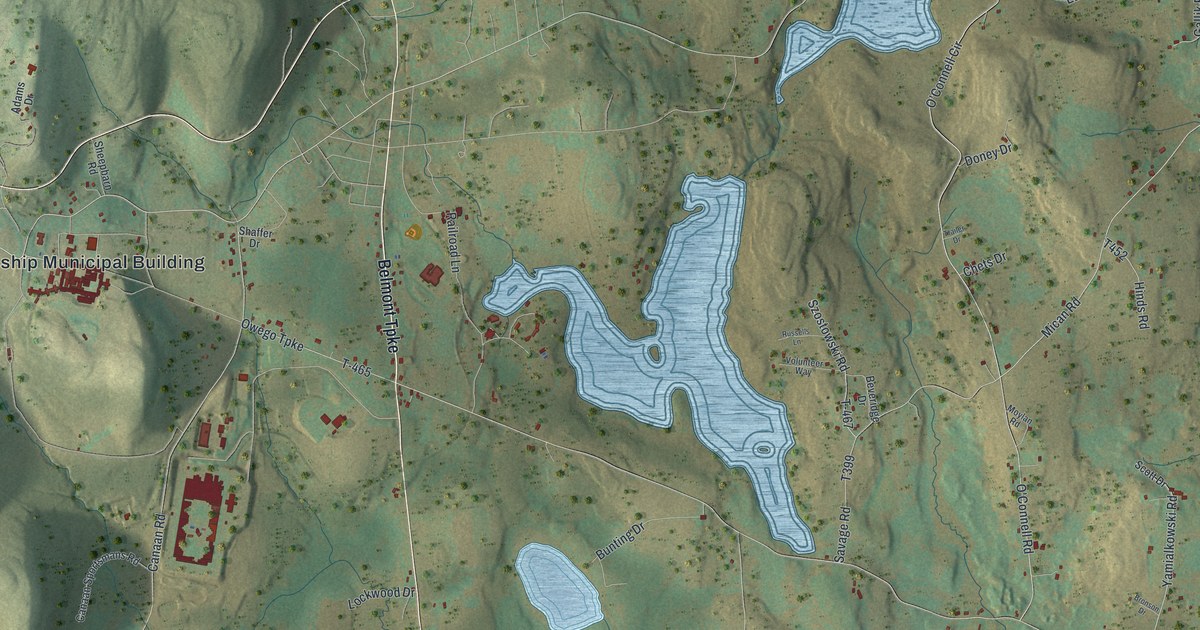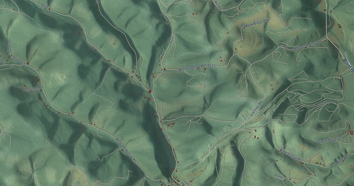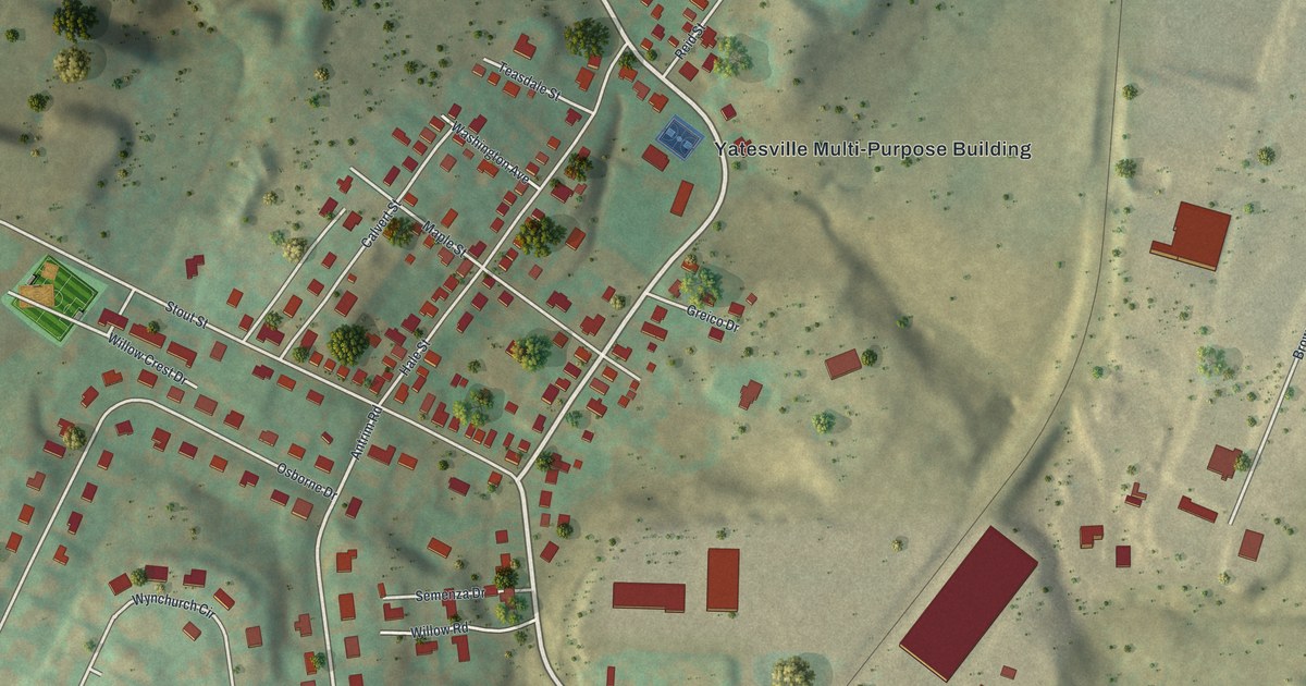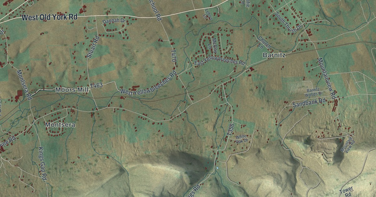
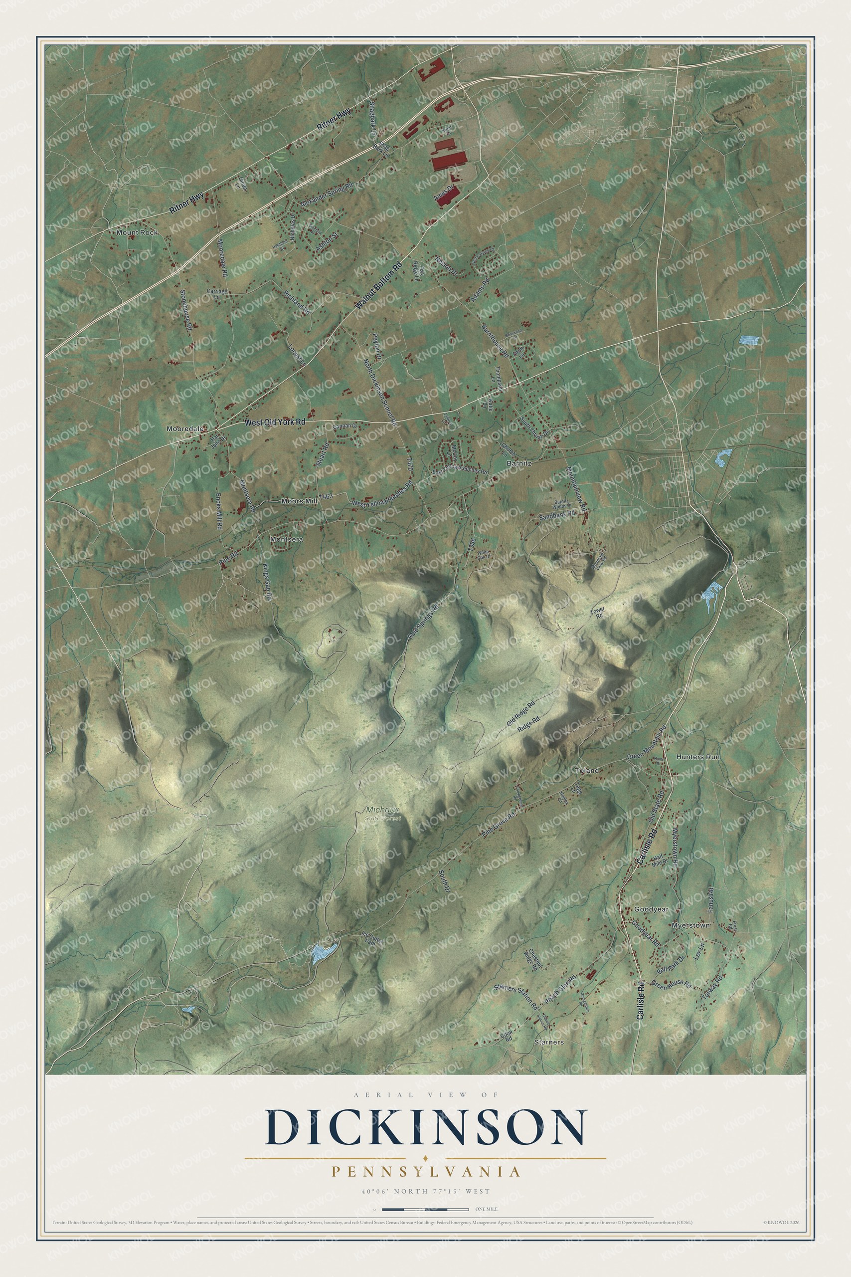
This beautifully detailed map of Dickinson, Pennsylvania was created in 2026 using aerial imagery combined with modern topographical, census, street and landmark data. It's a modern aerial view of Dickinson in Cumberland County, Pennsylvania, that combines modern data with a vintage aesthetic. The roads feature printed names, and if you look closely you can find your exact house accurately shown in its correct location.
Explore an aerial view of Dickinson, Pennsylvania
On this map you'll find Starners, Michaux State Forest, Barnitz, Goodyear, Hunters Run, Montsera, Mooredale, Moors Mill, Mount Rock, Myerstown, Toland, Carlisle Road, and more. Each red shape is a building, so zoom in on the preview and look for yours.
Here is a piece of Dickinson history, in the words of the record. The Internet Archive puts it this way: "Daring the days of slavery, the South Mountain afforded a hiding
place for colored people who attempted to escape from bondage, and Dickin
son Township received its full share of these fugitives."
Dickinson is a place in Cumberland County. The Census Bureau counted 5,294 people here in 2020.
Take a closer look at the Dickinson map
Names on this map
These names are printed on this map.
Places: Starners, Michaux State Forest, Barnitz, Goodyear, Hunters Run, Montsera, Mooredale, Moors Mill, Mount Rock, Myerstown and Toland.
Streets and roads: Carlisle Road, West Old York Road, Walnut Bottom Road, Ritner Highway, Stuart Road, Cold Springs Road, Ridge Road, Burnthouse Road, Pine Road, Pine Grove Road, Kings Gap Road, Alexander Spring Road.
More street names, A to Z
Adams Road, Ames Drive, Ashton Street, Ball Park Drive, Barnitz Woods Drive, Bradford Place, Briarwood Lane, Campground Road, Carriage Lane, Chestnut Ridge Road, Church Lane, Cinda Lane, Coon Road, Dannah Drive, East Yellowbreeches Road, Encks Mill Road, Fanus Road, Farm Lane, Frost Road, Georgetown Road, Goodyear Road, Green House Road, Green Mountain Road, Hagley Lane, Half Mile Drive, Har John Drive, Hawthorn Court, Ice Cutter Path, Katie Lane, Kuhn Drive, Kuntz Drive, Lebo's Lane, Lex Lane, Locust Lane, McCoy Lane, Montsera Road, Mooredale Road, Mountainview Road, Mountain View Road, Myerstown Road, Nelson Drive, Nicholas Drive, North Dickinson School Road, Oak Ridge Lane, Old Ridge Road, Old State Road, Peach Glen Road, Peyton Drive, Richland Road, Sandbank Road, Shagbark Lane, Shag Bark Lane, South Drive, South Thrush Drive, Starners Station Road, Starner Station Road, Stonehouse Road, Tagg Lane, Thompson Lane, Torway Road, Tower Road, West Oakwood Drive, West Yellowbreeches Road, White Oak Drive.
Created by KNOWOL in 2026. The buildings are small red shapes, the roads carry their printed names, and shaded relief shows the shape of the land. The title panel reads "AERIAL VIEW OF DICKINSON PENNSYLVANIA" with 4, 0, °, 0, 6, ', , N, O, R, T, H, , 7, 7, °, 1, 5, ', , W, E, S, T.
It suits a den, a classroom or a front hall, and it makes a gift for anyone with Dickinson roots. Open the preview and find the block you know. See sizes and frames for the Dickinson map.