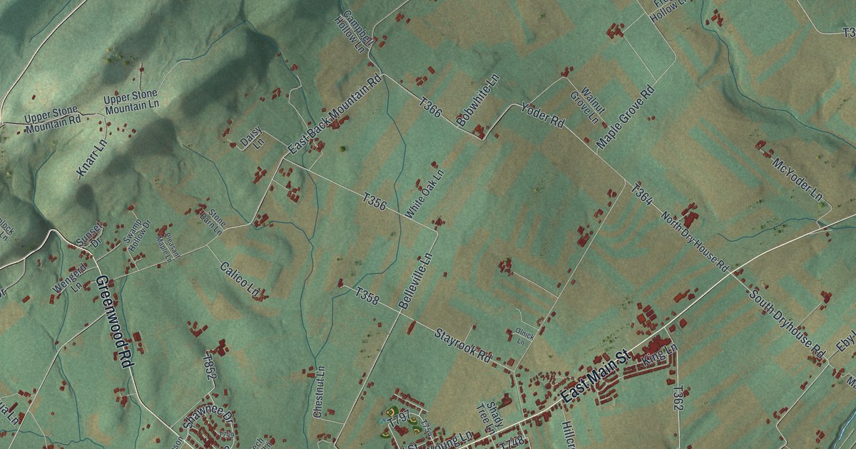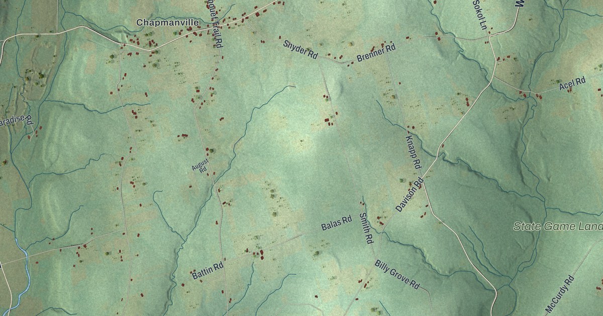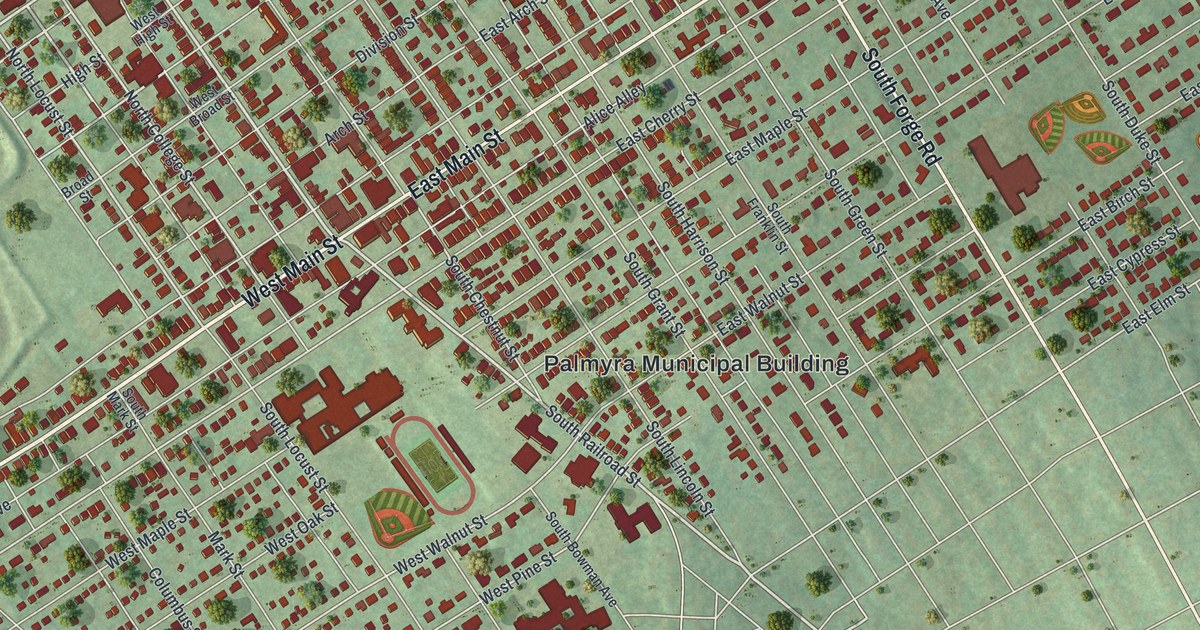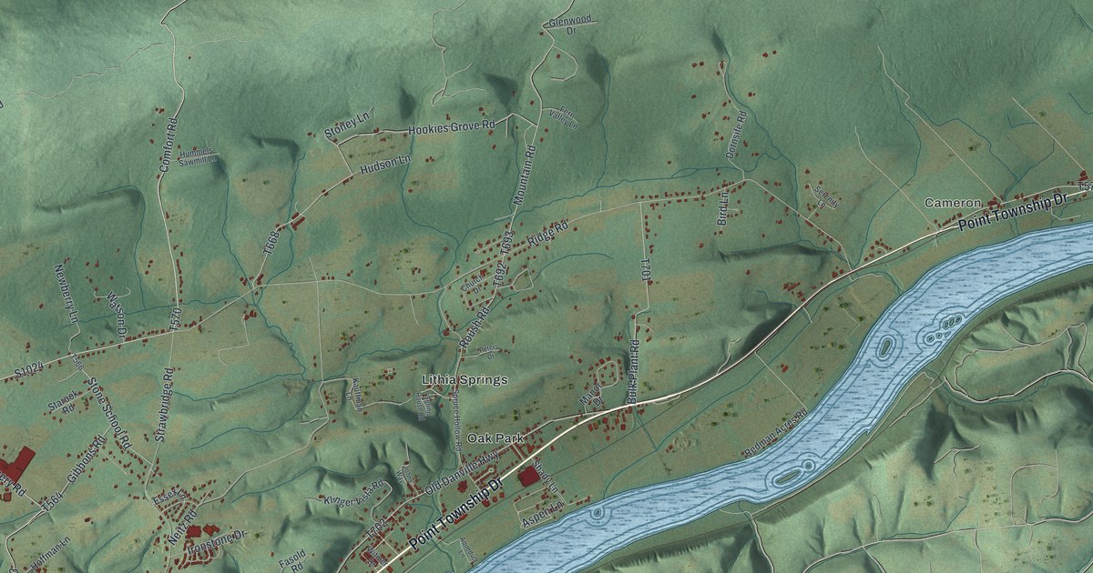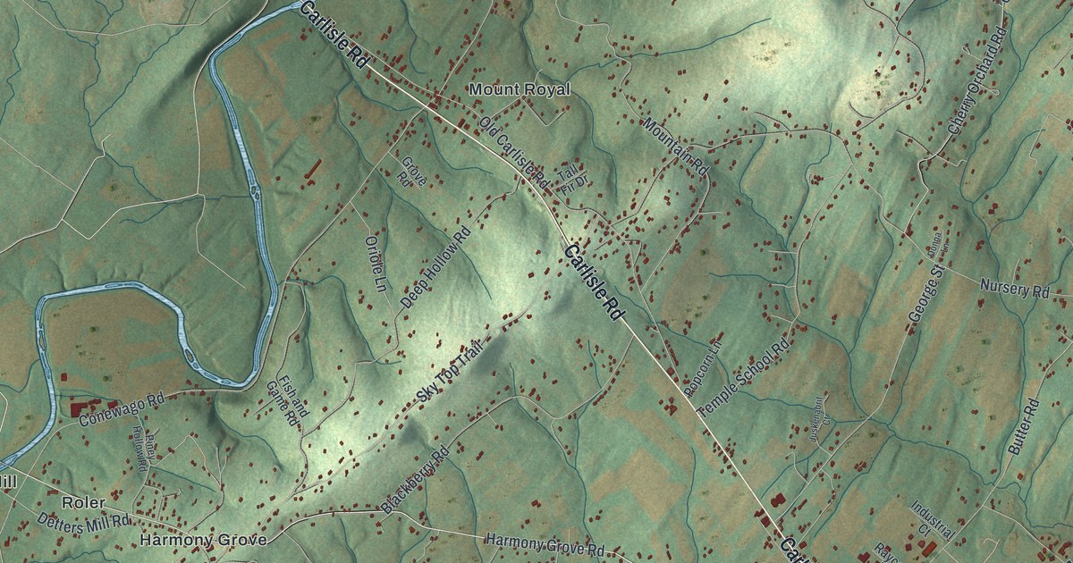
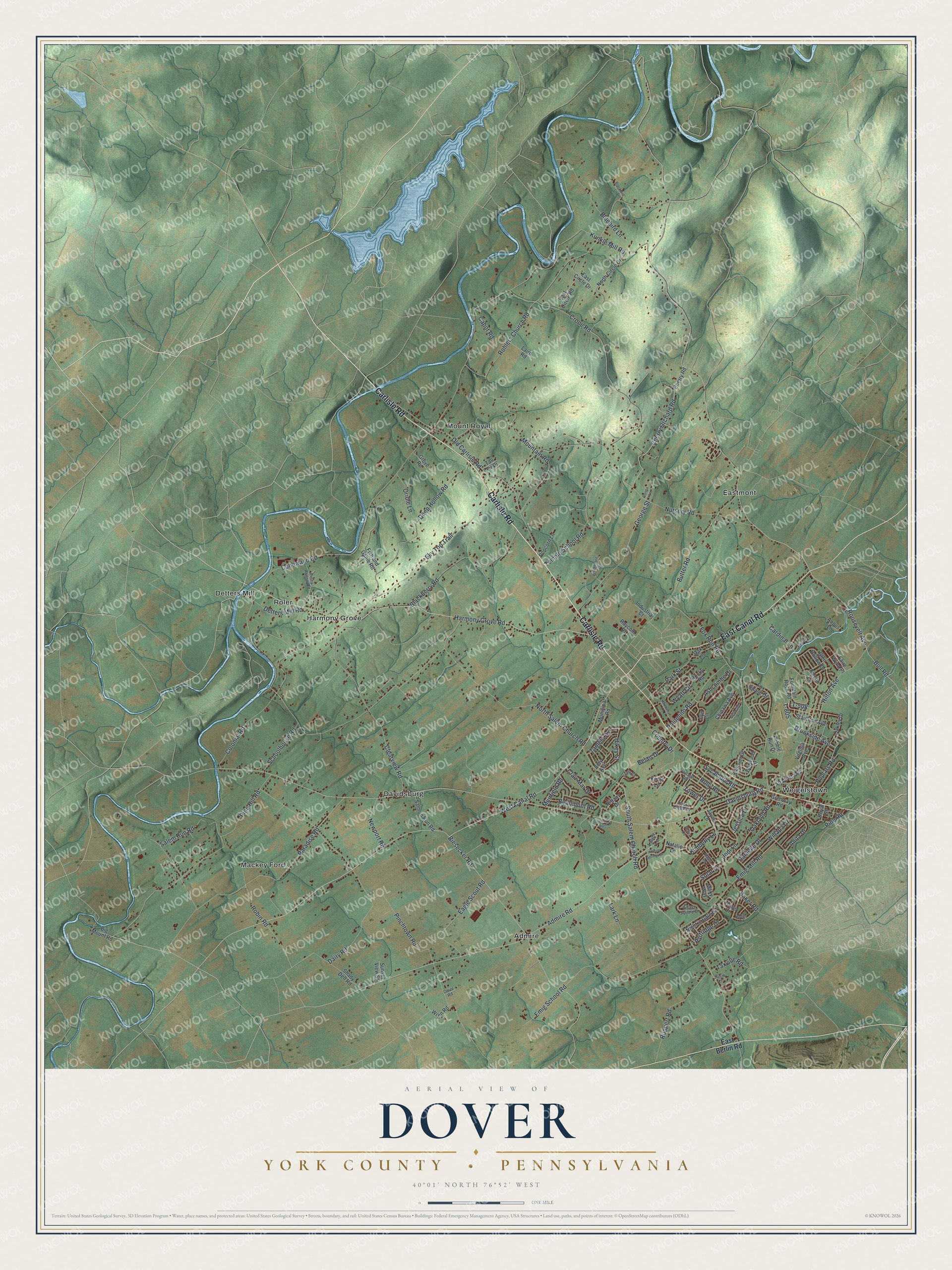
This beautifully detailed map of Dover Township, Pennsylvania was created in 2026 using aerial imagery combined with modern topographical, census, street and landmark data. It's a modern aerial view of Dover Township in York County, Pennsylvania, that combines modern data with a vintage aesthetic. The roads feature printed names, and if you look closely you can find your exact house accurately shown in its correct location.
Explore an aerial view of Dover Township, Pennsylvania
On this map you'll find Admire, Davidsburg, Detters Mill, Eastmont, Harmony Grove, Mackey Ford, Mount Royal, Roler, Weigelstown, Carlisle Road, East Canal Road, South Salem Church Road, and more. Each red shape is a building, so zoom in on the preview and look for yours.
Dover Township has a story worth telling. The record at data.pa.gov puts it this way: "Recognized as America's oldest agricultural fair, dating its origin from a charter issued by the Penns in 1765."
Dover Township is a place in York County. The Census Bureau counted 22,366 people here in 2020.
Take a closer look at the Dover Township map
Names on this map
These names are printed on this map.
Places: Admire, Davidsburg, Detters Mill, Eastmont, Harmony Grove, Mackey Ford, Mount Royal, Roler and Weigelstown.
Streets and roads: Carlisle Road, East Canal Road, South Salem Church Road, Harmony Grove Road, Sky Top Trail, Brookside Avenue, T-805, T-508, Fox Run Road, Jessica Drive, Bull Road, Conewago Road.
More street names, A to Z
Admire Road, Admire Springs Drive, Alta Vista Road, Amy Avenue, Andover Drive, Angus Lane, Anita Drive, Ashcombe Drive, Baker Road, Barley Circle, Beaumont Road, Belair Drive, Biesecker Road, Big Mount Road, Blackberry Road, Blackbird Lane, Bluebird Lane, Brooke, Butter Road, Cabot Road, Cardinal Lane, Carol Road, Cherry Orchard Road, Cherry Road, Chipawa Avenue, Clair Mar Drive, Clearview Road, Colonial Road, Country Drive, Crone Road, Dairy Road, Danielle Drive, Davidsburg Road, Deep Hollow Road, Delaware Avenue, Detters Mill Road, Donna Lane, Dorwood Drive, Eagle Scout Road, East Berlin Road, East Circle Drive, East Circle Road, Emig Mill Road, Emig School Road, Faire Wynd Place, Falcon Lane, Fish and Game Road, Fountain Rock Road, Fox Chase Drive, Genna Circle, George Street, Glen Hollow Drive, Grenway Road, Grove Road, Hadley Drive, Hikey Street, Hilton Avenue, Holly Road, Industrial Court, Jayne Lane, Jodi Lane, Judith Court, Juskenabrit Court, Kimberly Lane, Kings Lane, Kunkle Mill Road, Laird Road, Lark Lane, Lauer Lane, Locust Point Court, Lyn Circle, Maple Road, Milky Way, Mountain Road, Muirfield Road, Mulberry Lane, Municipal Road, Natalie Lane, Newport Road, Night in Gale Drive, Nittany Drive, North Circle Drive, North Salem Church Road, Nursery Road, Oakland Road, Oak Lane, Oakley Drive, Old Carlisle Road, Oriole Lane, Palomino Road, Paradise Road, Park Street, Partridge Drive, Pebble Run Drive, Pinchtown Road, Pine Hill Road, Pine Road, Piney Hollow Road, Popcorn Lane, Poplars Road, Raycom Road, Robin Road, Rock Creek Drive, Rocky Road, Rohlers Church Road, Roosevelt Avenue, Royal Street, Ruppert Road, Salem Run Road, Salmon Run Road, Schoolhouse Road, Shady Dell Road, Solar Drive, Staunton Avenue, Sunset View Street, Sycamore Road, Tall Fir Drive, Tamela Avenue, Taxville Road, Temple School Road, Tonys Drive, Tower Drive, Village Road, Village Square Drive, Virginia Avenue, West Canal Road, Willapa Drive, Wren Road, Wyatt Circle.
Created by KNOWOL in 2026. The buildings are small red shapes, the roads carry their printed names, and shaded relief shows the shape of the land. The title panel reads "AERIAL VIEW OF DOVER YORK COUNTY • PENNSYLVANIA" with 4, 0, °, 0, 1, ', , N, O, R, T, H, , 7, 6, °, 5, 2, ', , W, E, S, T.
It looks right in a kitchen, an office or a den, and it's a gift for anyone who grew up in Dover Township or moved away. Open the preview and find your street. See sizes and frames for the Dover, York County map.