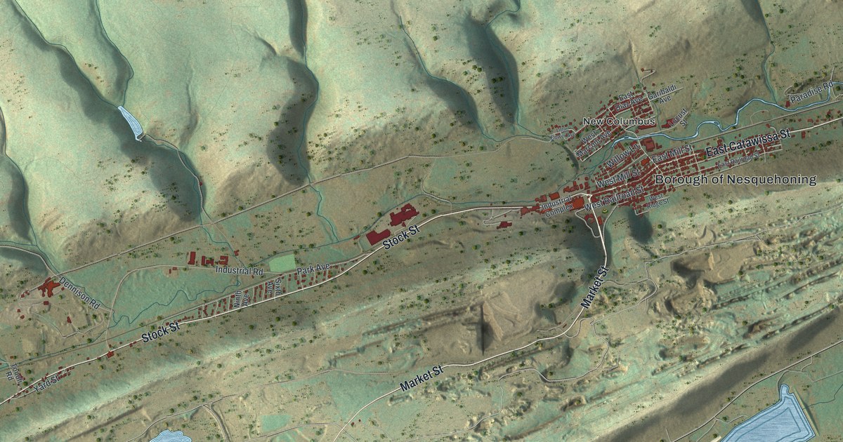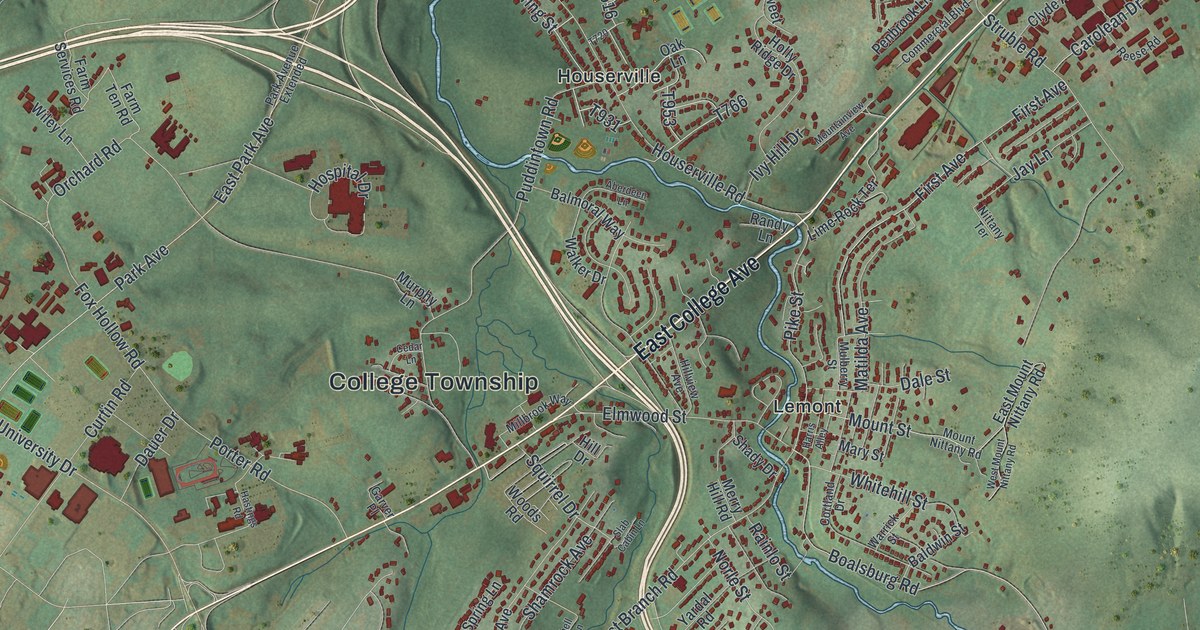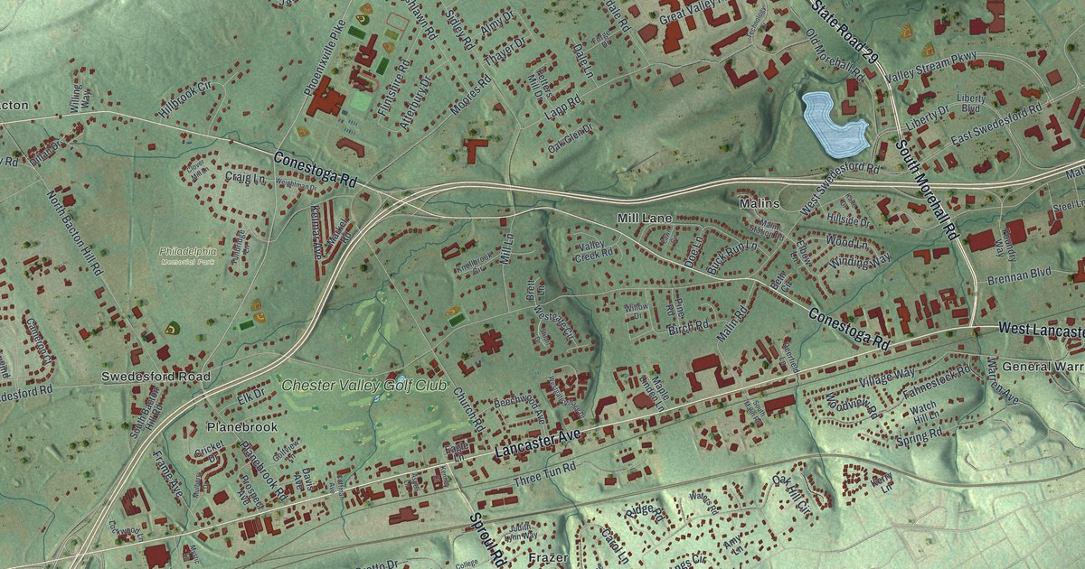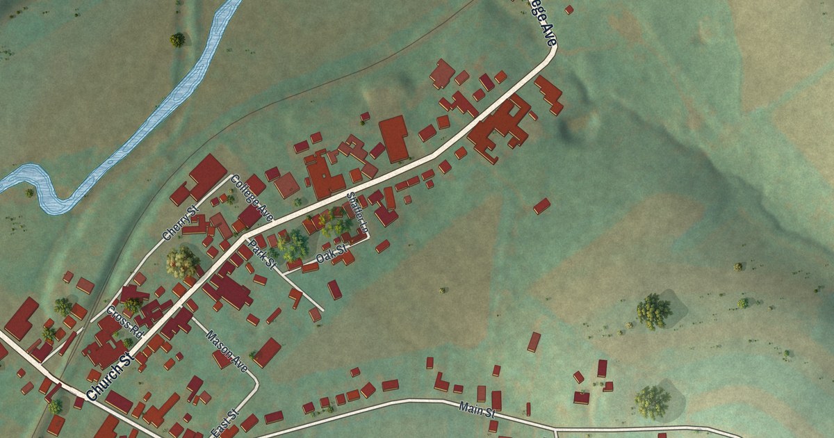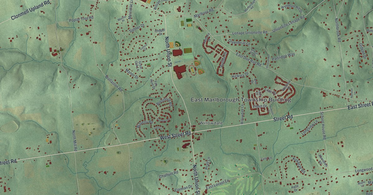
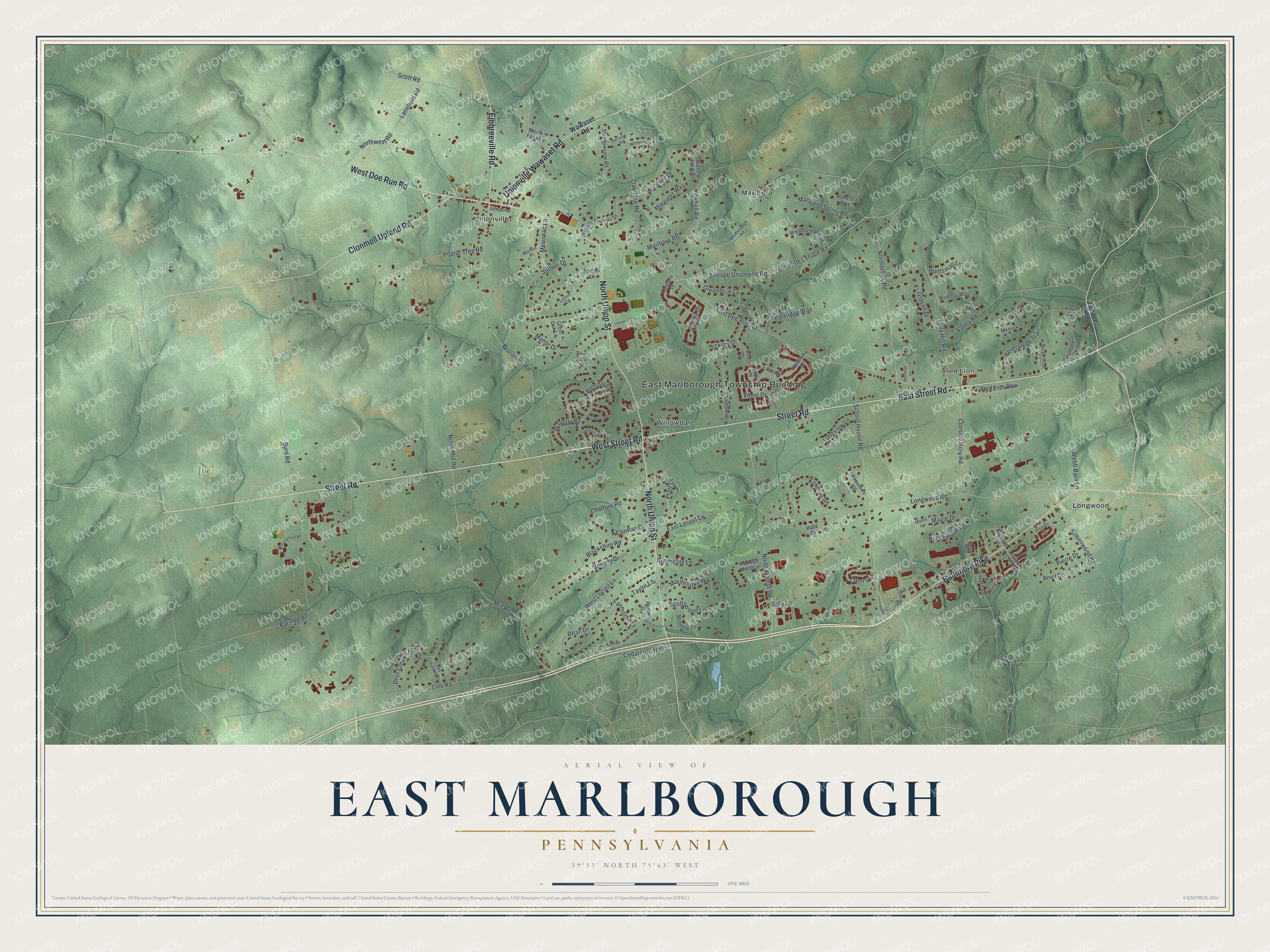
This beautifully detailed map of East Marlborough, Pennsylvania was created in 2026 using aerial imagery combined with modern topographical, census, street and landmark data. It's a modern aerial view of East Marlborough in Chester County, Pennsylvania, that combines modern data with a vintage aesthetic. The roads feature printed names, and if you look closely you can find your exact house accurately shown in its correct location.
Explore an aerial view of East Marlborough, Pennsylvania
On this map you'll find East Marlborough Township Building, Red Lion, Meadow Garden, Longwood, Marlboro, Unionville, Willowdale, Street Road, West Street Road, East Street Road, West Doe Run Road, North Union Street, and more. Each red shape is a building, so zoom in on the preview and look for yours.
Here is a piece of East Marlborough history, in the words of the record. The record at data.pa.gov puts it this way: "A graduate of the Female Medical College of Pennsylvania, she became its dean in 1865, the first American woman to hold such an office."
East Marlborough is a place in Chester County. The Census Bureau counted 7,306 people here in 2020.
Take a closer look at the East Marlborough map
Names on this map
These names are printed on this map.
Places: East Marlborough Township Building, Red Lion, Meadow Garden, Longwood, Marlboro, Unionville and Willowdale.
Streets and roads: Street Road, West Street Road, East Street Road, West Doe Run Road, North Union Street, Clonmell Upland Road, Baltimore Pike, Unionville Wawaset Road, Embreeville Road, Northbrook Road, Unionville Lenape Road, Lenape Unionville Road.
More street names, A to Z
Aberdeen Road, Ann Drive, Anvil Drive, Aster Circle, Astilbe Drive, Avonwood Road, Barnview Drive, Bartram Road, Bayard Road, Beechwood Drive, Beverly Drive, Beversrede Trail, Blackshire Road, Brentford Road, Byrd Road, Cedarcroft Road, Chalfont Road, Chapel Drive, Cherry Lane, Conservatory Road, Corman Drive, Dean Drive, Deepdale Drive, Deer Creek Crossing, Denbigh Chase, East Doe Run Road, East Locust Lane, Fairthorne Drive, Federal Walk, Folly Hill Road, Fox Hollow Drive, Fox Hunt Drive, Gale Lane, Gideon Drive, Glenelg Farm Drive, Great Oak Lane, Greenbriar Lane, Greenwood Road, Gypsy Lane, Hadleys Mill Run, Haldane Drive, Halle Drive, Hickory Drive, Huntsman Lane, Jackson Street, Kirkbrae Road, Lanefield Road, Lantana Drive, Laurali Drive, Lenape Road, Lilac Drive, Line Road, Longview Lane, Longwood Road, Lutece Circle, Lynn Lane, Manor Drive, Maple Drive, Maple Lane, Margaret Way, Marlboro Road, Marlboro Spring Road, Marlborough Road, Marlbrooke Way, Meadowview Road, Merrick Lane, Merrimac Lane, Mill Road, Mitchell Farm Lane, Monitor Place, Nathaniel Lane, Newhall Road, North Mill Road, North Walnut Road, Northwest Road, Oak Tree Road, Old Forge Lane, Orchard Avenue, Partridge Way, Peacedale Road, Pheasant Run, Pierce Lane, Pierre Drive, Poplar Tree Road, Potter Drive, Pratt Lane, Primrose Drive, Red Lion Row, Ridgecote Lane, Roberts Way, School House Road, Schoolhouse Road, Scott Road, Soltner Drive, South Orchard Avenue, Spottswood Lane, Taylor Lane, Unicorn Lane, Upland School Road, Valley Road, Violet Drive, Waverly Road, Wawaset Road, Webb Barn Lane, West Locust Lane, Whitestone Drive, Wickersham Lane, William Thomas Drive, Willowdale Lane, Wiltshire Drive, Winding Lane, Windovr Way, Wisteria Drive, Wollaston Road, Wyndham Hill Drive.
Created by KNOWOL in 2026. The buildings are small red shapes, the roads carry their printed names, and shaded relief shows the shape of the land. The title panel reads "AERIAL VIEW OF EAST MARLBOROUGH PENNSYLVANIA" with 3, 9, °, 5, 3, ', , N, O, R, T, H, , 7, 5, °, 4, 3, ', , W, E, S, T.
It suits a den, a classroom or a front hall, and it makes a gift for anyone with East Marlborough roots. Open the preview and find the block you know. See sizes and frames for the East Marlborough map.