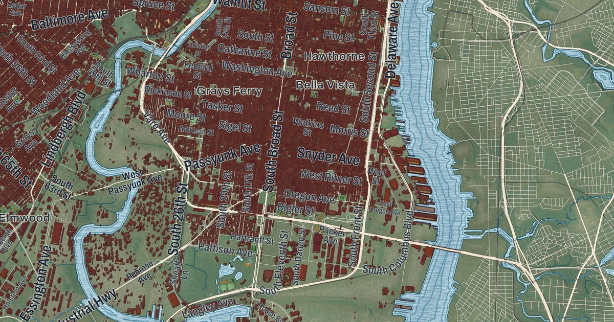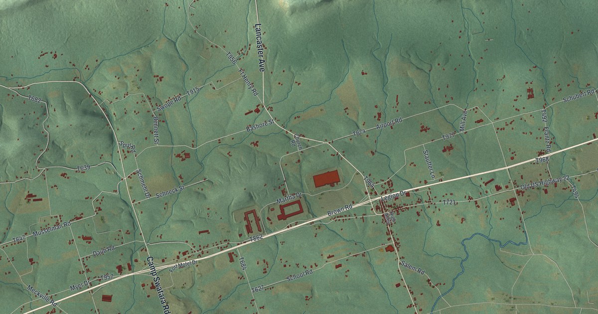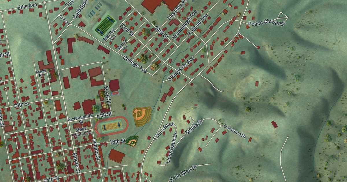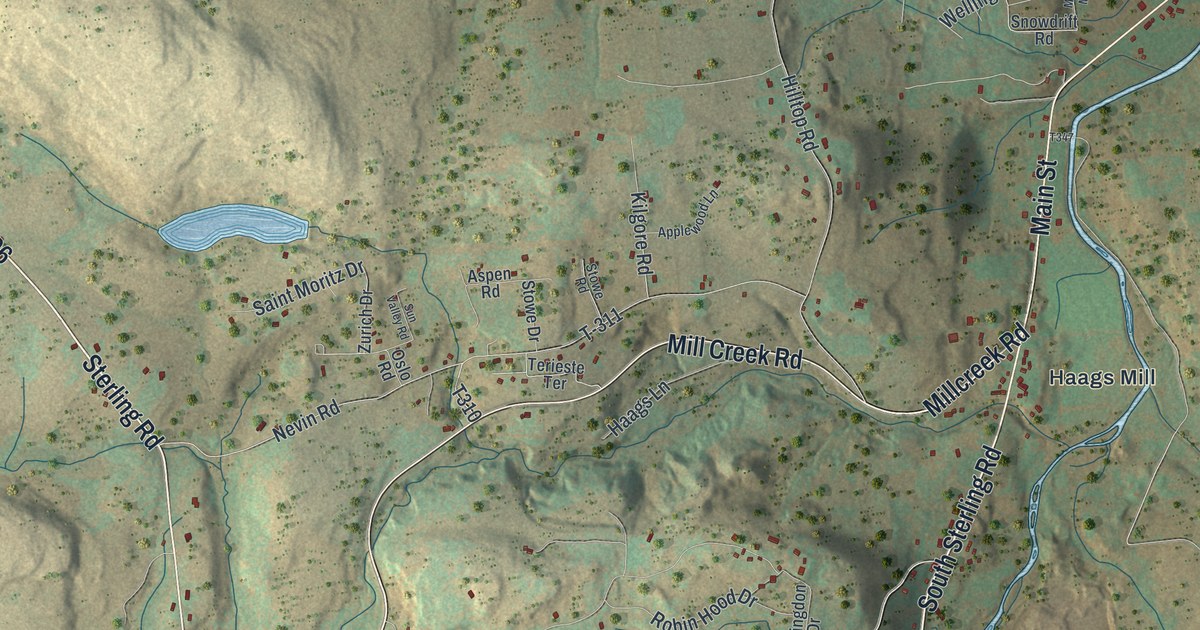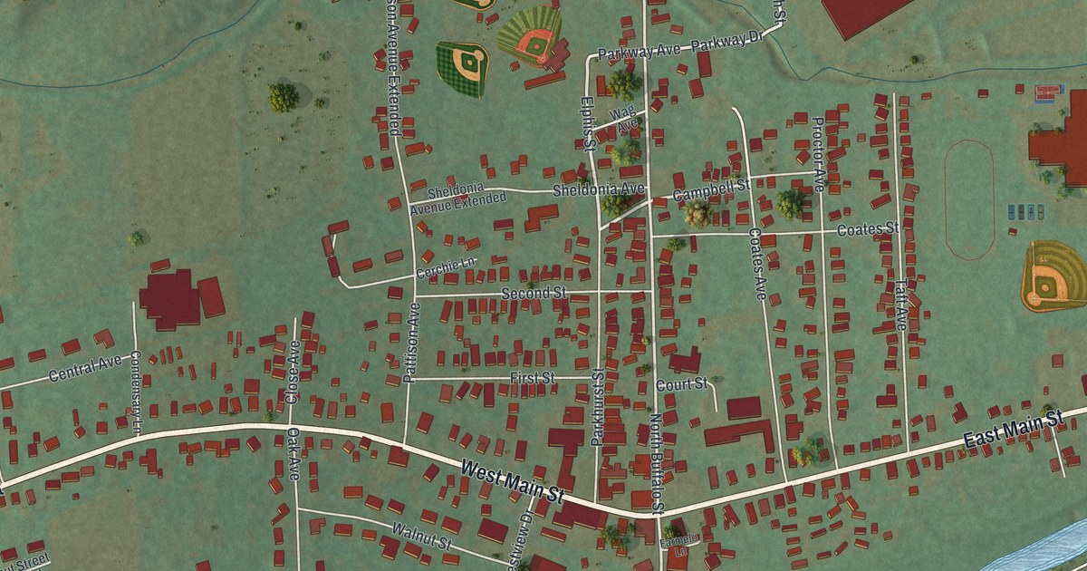
This beautifully detailed map of Elkland, Tioga County, Pennsylvania was created in 2026 using aerial imagery combined with modern topographical, census, street and landmark data. It’s a one-of-a-kind view of Elkland that combines accurate data with a vintage aesthetic. The map shows every building in its true location, many of the roads carry their names, and the shaded topographic relief shows the shape of the land.
Explore an aerial view of Elkland, Tioga County, Pennsylvania
On the map you’ll find Highland Cemetery, along with West Main Street, Barney Hill Road, East Main Street, Parkhurst Street, Elphis Street, Parkway Avenue, Campbell Street, Addison Road, Coates Street, North Street, North Buffalo Street, and more. If you look closely you can even find your house accurately drawn in its correct location. Zoom in on the preview to look for yours.
Did you know this piece of Elkland, Tioga County, Pennsylvania history?
From the History of Tioga County: "The borough of Elkland was incorporated by a special act of the legislature, approved April 10, 1849, and in May following the first election was held at the house of J. L. Davenport, resulting in the election of John Parkhurst, burgess, and Leander Culver, J. L. Davenport, J. C. Whitaker, D. B. Schoff and Joel Parkhurst, councilmen."
Take a closer look at the Elkland, Tioga County map
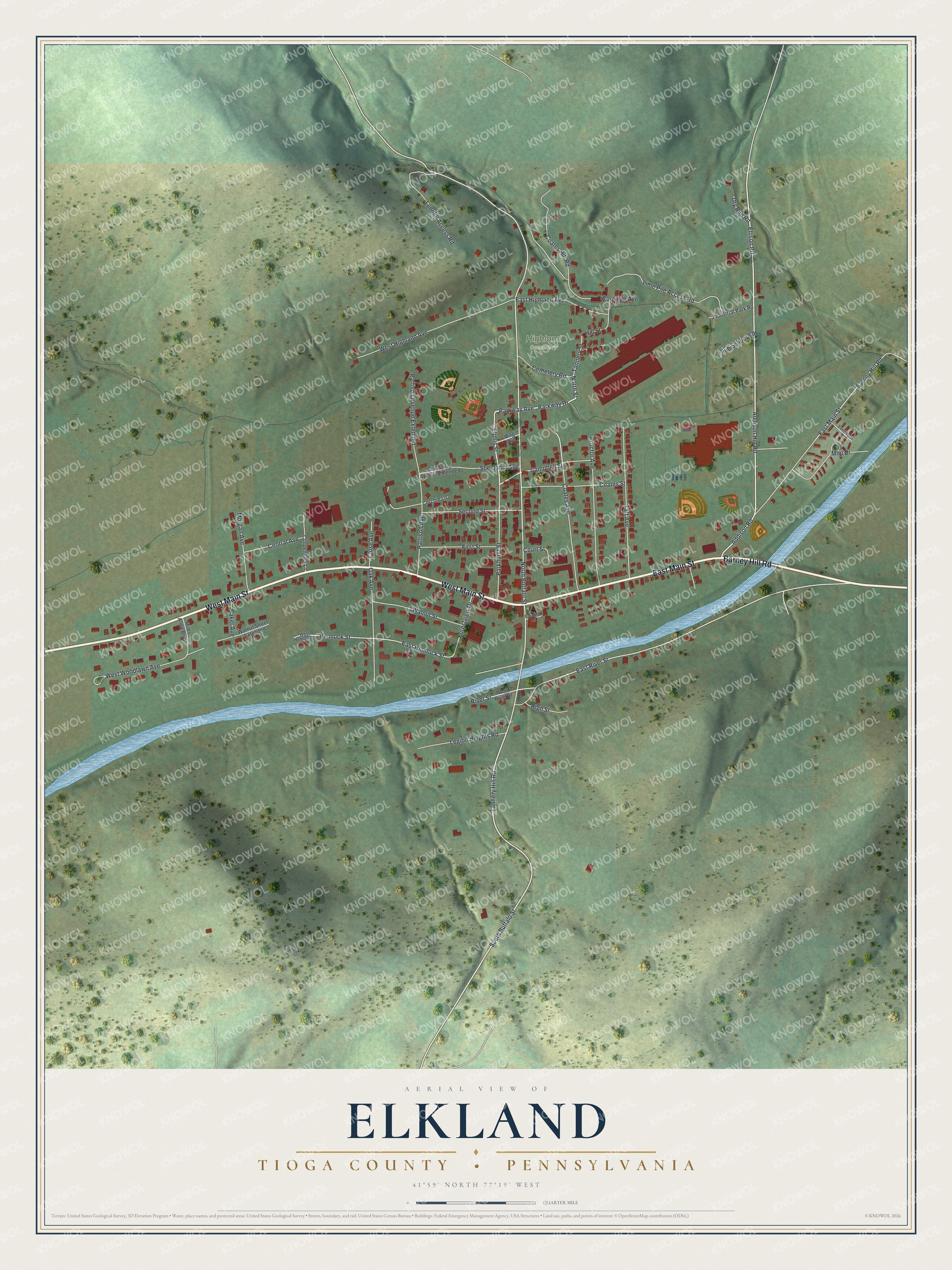
Street and place names on the Elkland, Tioga County, Pennsylvania map
These names are printed on the map of Elkland, Tioga County, Pennsylvania.
Places: Highland Cemetery.
Streets and roads: West Main Street, Barney Hill Road, East Main Street, Parkhurst Street, Elphis Street, Parkway Avenue, Campbell Street, Addison Road, Coates Street, North Street, North Buffalo Street, South Buffalo Street.
More street names, A to Z
Addison Hill Road, Baker Avenue, Cemetery Road, Central Avenue, Cerchie Lane, Close Avenue, Coates Avenue, Coates Hill Road, Condensary Lane, Coolidge Avenue, Court Street, Dry Run Road, East Hemlock Street, East Highland Avenue, East River Street, Ellison Road, Farmelo Lane, First Street, Forestview Drive, Hemlock Street, High Street, Hill Street, Industrial Park Road, Landfill Access Road, Legion Heights Road, Lime Pile Access Road, Mhp Drive, Miles Allen Boulevard, Morgan Avenue, Oak Avenue, Parkway Drive, Pattison Avenue, Pattison Avenue Extended, Proctor Avenue, Pub School Road, River Street, Second Street, Sheldonia Avenue, Sheldonia Avenue Extended, Taft Avenue, Tannery Hill Road, Tannery Street, Vandusen Drive, Wag Avenue, Walnut Street, Walnut Street Extended, West Hemlock Street, West Highland Avenue, West River Street, West Woodlawn Avenue.
See the Elkland, Tioga County, Pennsylvania map on a wall
The Elkland, Tioga County map as an 18 x 24 inch print in a black frame.

This beautifully detailed map of Elkland, Tioga County makes an attractive addition to your office, library, or den, and it can even be used to teach children the geography and history of the area. It also makes a great gift for anyone who grew up in Elkland or moved away. When you’re done exploring, click here to get your copy of the Elkland, Tioga County map.