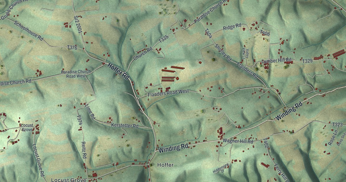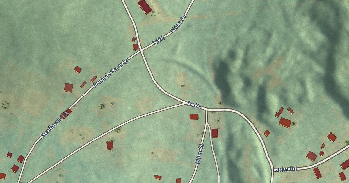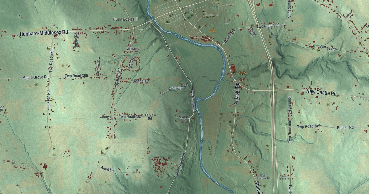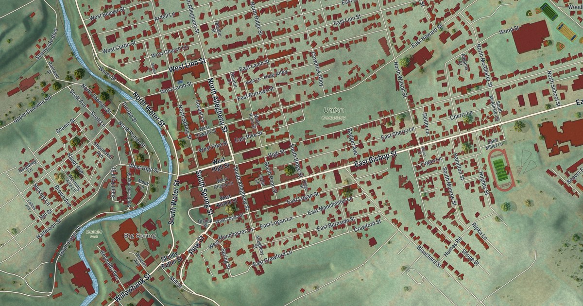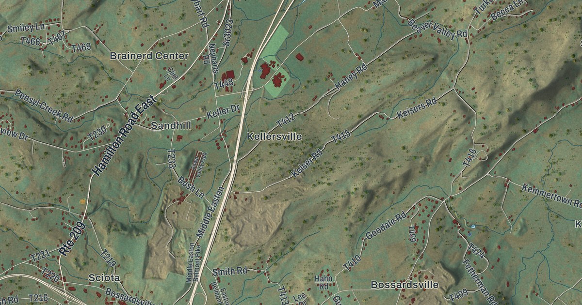
This beautifully detailed map of Hamilton, Monroe County, Pennsylvania was created in 2026 using aerial imagery combined with modern topographical, census, street and landmark data. It’s a one-of-a-kind view of Hamilton that combines accurate data with a vintage aesthetic. The map shows every building in its true location, many of the roads carry their names, and the shaded topographic relief shows the shape of the land.
Explore an aerial view of Hamilton, Monroe County, Pennsylvania
On the map you’ll find Cherry Valley National Wildlife Refuge, Blue Mountain Pines, Bossardsville, Brainerd Center, Hamilton Square, Jackson, Kellersville, Kemmererville, Sandhill, Sciota, Snydersville, Stormville, and more. If you look closely you can even find your house accurately drawn in its correct location. Zoom in on the preview to look for yours.
Did you know this piece of Hamilton, Monroe County, Pennsylvania history?
Kellersville, a hamlet in Hamilton Township, was begun by George Keller as early as 1812. When Monroe County chose its county seat, Kellersville was put forward as a good site for the county buildings. Its backers made a strong effort, but the rival claims of Stroudsburg proved too great. The hamlet later kept a grist mill and woolen mills. That’s from the 1886 History of Wayne, Pike and Monroe Counties, Pennsylvania.
Take a closer look at the Hamilton, Monroe County map
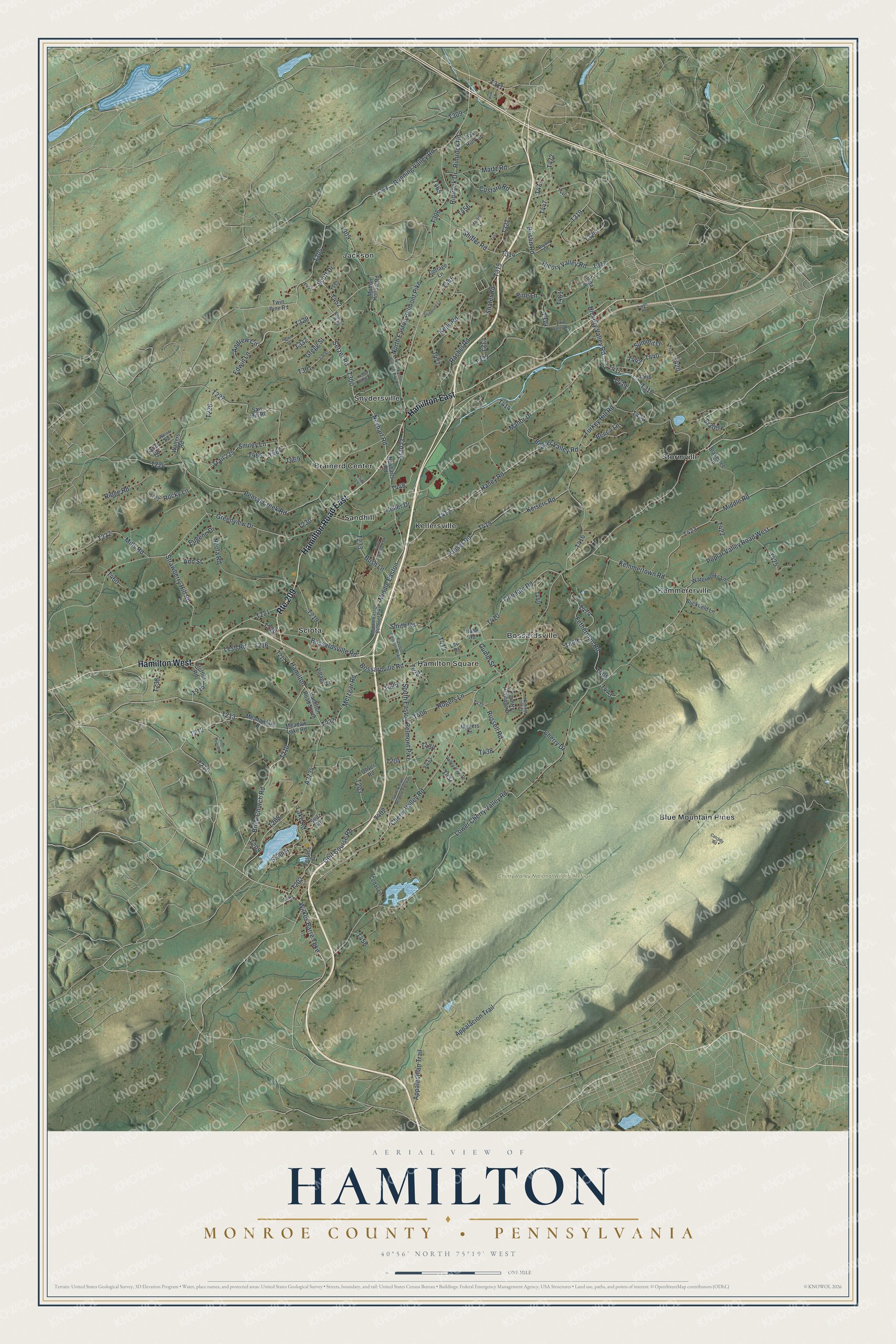
Street and place names on the Hamilton, Monroe County, Pennsylvania map
These names are printed on the map of Hamilton, Monroe County, Pennsylvania.
Places: Cherry Valley National Wildlife Refuge, Blue Mountain Pines, Bossardsville, Brainerd Center, Hamilton Square, Jackson, Kellersville, Kemmererville, Sandhill, Sciota, Snydersville, Stormville and Fawn Valley Park.
Streets and roads: Hamilton West, Hamilton East, Hamilton Road East, Route 209, Cherry Valley Road, Hickory Valley Road, Wilkes Barre Turnpike, Setzer Road, Brick Church Road, Neyhart Road, Metzgar Road, Rimrock Drive.
More street names, A to Z
Andrew Circle, Ann Street, Appalachian Trail, Appalacion Trail, Aspen Road, Beaver Valley Road, Becca Lane, Blakeslee Road, Bossardsville Road, Bossardville Road, Brislin Road, Bryan Lane, Buckfield Lane, Bush Lane, Catchfly Road, Cedar Lane, Cherry Drive, Clint Lane, Cottage Lane, Country Heritage Drive, Crest View Drive, Custard Road, Easton Belmont Pike, Edwin Lane, Eugene Drive, Fetherman Road, Golf Course Road, Goodale Road, Greenview Drive, Gregg Street, Gumm Street, Hahn Road, Hamilton, Hamilton Road South, Haney Road, Helen Street, Hicory Valley Road, Jaggers Lane, John Deer Road, Keiser Road, Keisers Road, Keller Drive, Kelly Road, Kemmertown Road, Kettle Ridge Drive, Kirk Lane, Lake Road, Lee Drive, Lesh Road, Linda Lane, Lower Cherry Valley Road, Manor Drive, Martin Lane, Martz Road, Meadow Lake Road, Meadowlake Road, Middle Easton, Middle Easton Belmont Pike, Middle Road, Mills Road, Mutton Hollow Road, Neola Road, Neyharts Road, North Easton Belmont Pike, North Easton Belmont Pike Road, Oak Run Lane, Oliver Road, Pensyl Creek Road, Pine Lane, Polk Valley Road, Poplar Valley Road West, Rachel Road, Ridge Road, Rimrock Road, Rocky Lane, Rogers Lane, Running Valley Road, Russell Road, Sabol Road, Sandstone Lane, Saw Mill Road, Scott Drive, Seitz Road, Seneca Trail, Shafer Road, Shiffer Road, Smiley Lane, Smith Road, South Easton Belmont Pike, South Easton Belmont Pikeway, Sr2004, Sr3004, Sr3023, Stofflet Road, Strawberry Hill Road, Summit Drive, Terrace Drive, Tim Street, Trail 225, Turkey Hill Road, Twin Pine Road, Valley View Drive, Village Lane, Walters Road, Waterworks Lane, Weiss Road.
See the Hamilton, Monroe County, Pennsylvania map on a wall
The Hamilton, Monroe County map as an 18 x 24 inch print in a black frame.

This beautifully detailed map of Hamilton, Monroe County makes an attractive addition to your office, library, or den, and it can even be used to teach children the geography and history of the area. It also makes a great gift for someone who left Hamilton and still calls it home. When you’re done exploring, click here to get your copy of the Hamilton, Monroe County map.