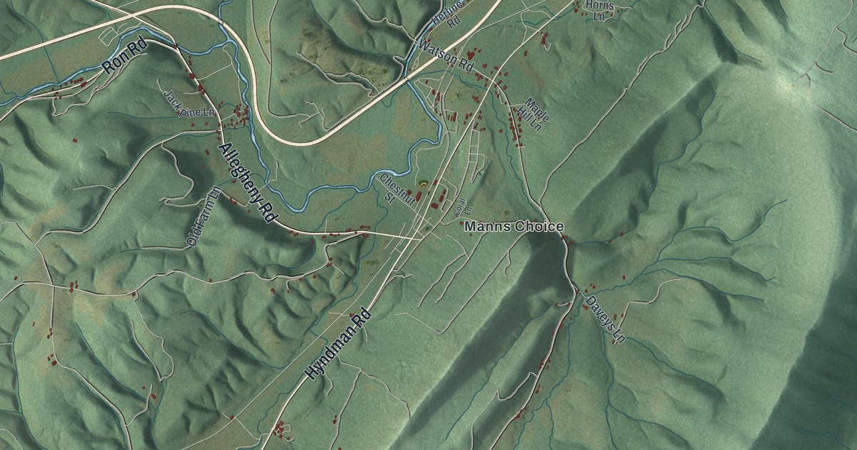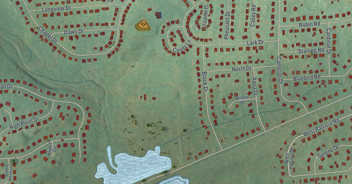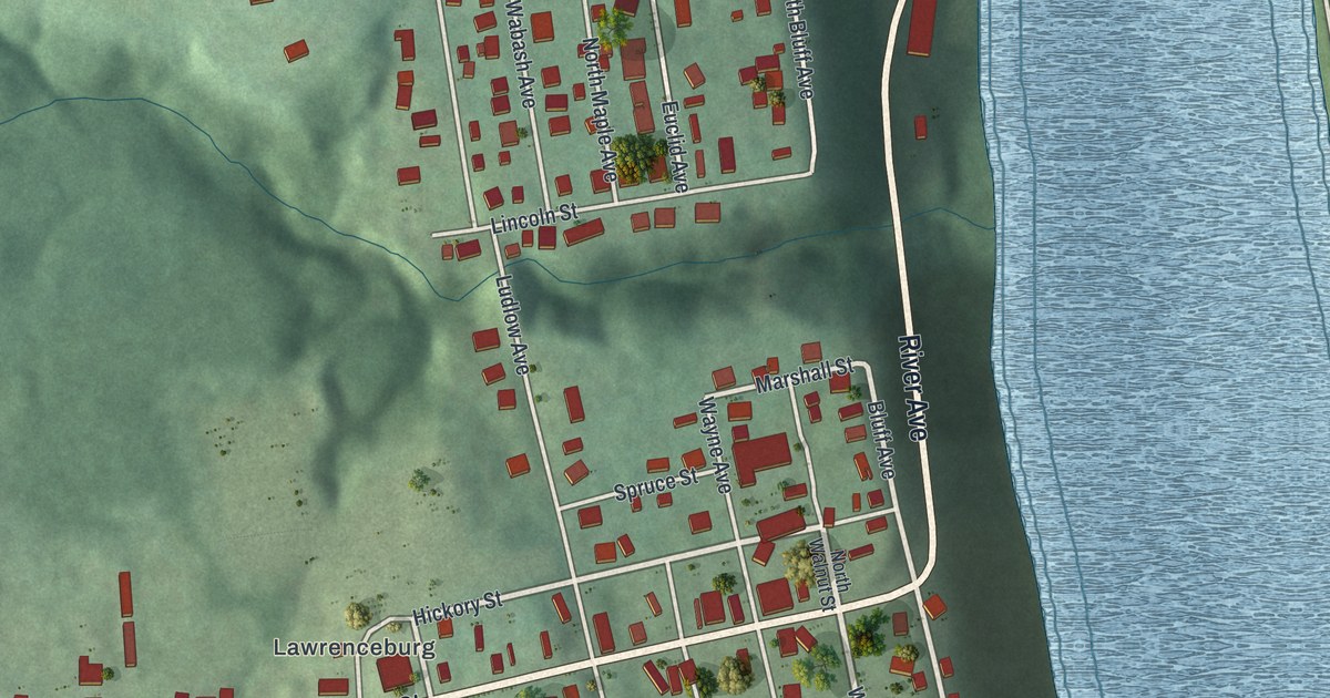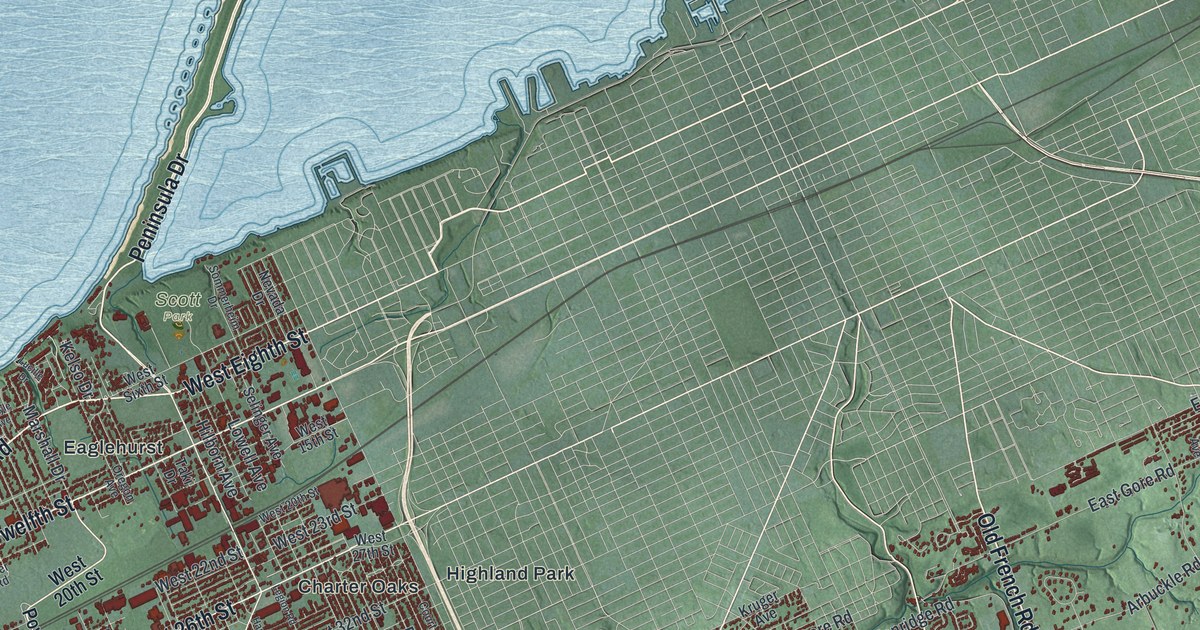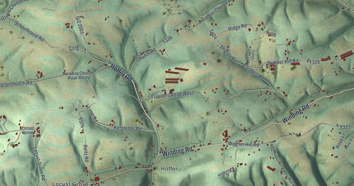
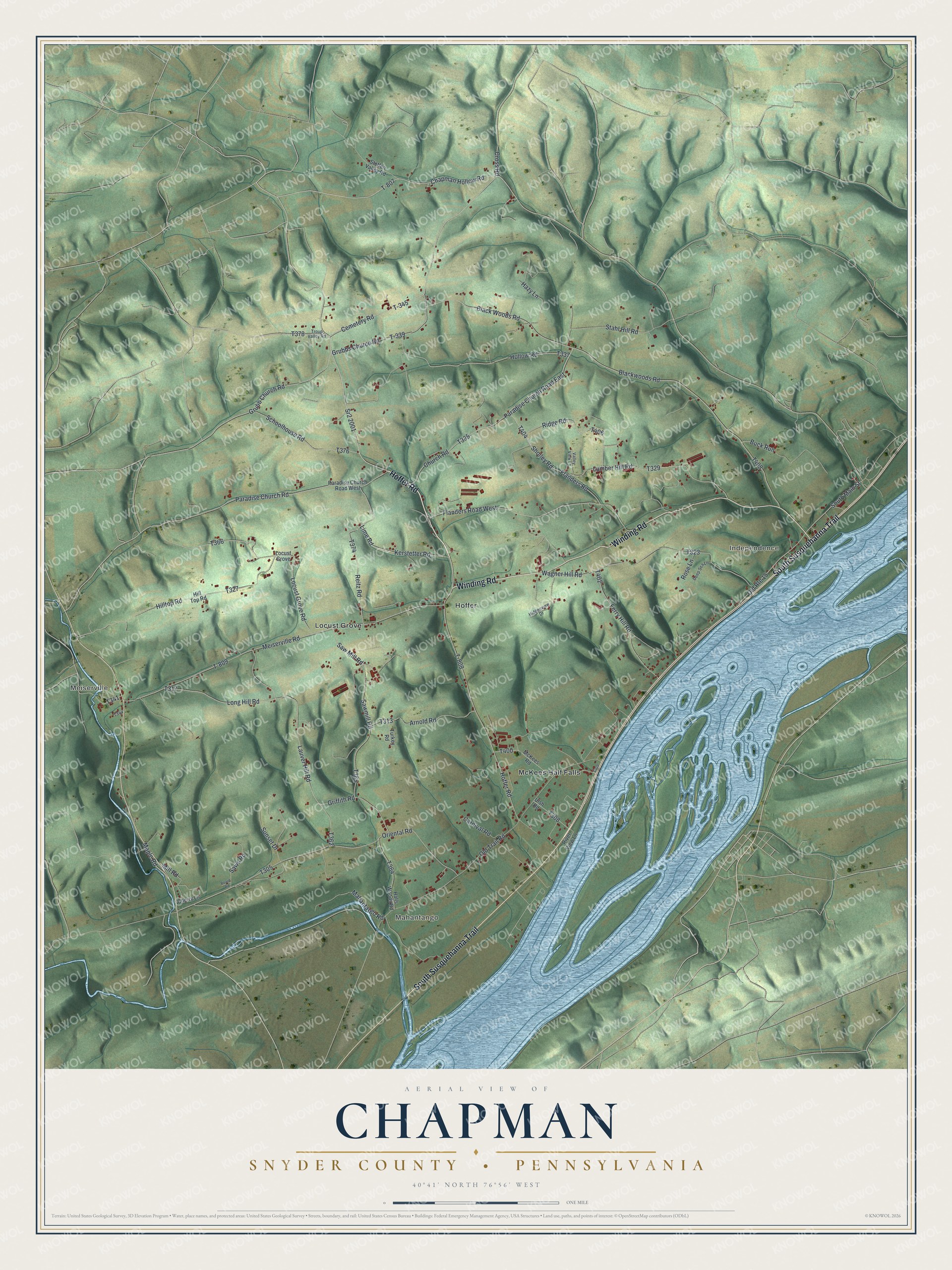
This beautifully detailed map of Chapman, Snyder County, Pennsylvania was created in 2026 using aerial imagery combined with modern topographical, census, street and landmark data. It's a modern aerial view of Chapman, Snyder County in Snyder County, Pennsylvania, that combines modern data with a vintage aesthetic. The roads feature printed names, and if you look closely you can find your exact house accurately shown in its correct location.
Explore an aerial view of Chapman, Snyder County, Pennsylvania
On this map you'll find Meiserville, Mahantango, Independence, Hoffer, Locust Grove, McKees Half Falls, Hoffer Road, Winding Road, South Susquehanna Trail, Flanders Road, Sr2 2001, Chapman Hollow Road, and more. Each red shape is a building, so zoom in on the preview and look for yours.
Chapman, Snyder County has a story worth telling. The Susquehanna and Juniata Valleys History puts it this way: "John Shamory was one of the early settlers and came to the locality very early. He emigrated from Germany, and, like many others who came in those years, sold his time to pay his passage."
Chapman, Snyder County is a place in Snyder County. The Census Bureau counted 1,565 people here in 2020.
Take a closer look at the Chapman, Snyder County map
Names on this map
These names are printed on this map.
Places: Meiserville, Mahantango, Independence, Hoffer, Locust Grove and McKees Half Falls.
Streets and roads: Hoffer Road, Winding Road, South Susquehanna Trail, Flanders Road, Sr2 2001, Chapman Hollow Road, Black Woods Road, T-345, Cemetery Road, Grubbs Church Road, Grubb Church Road, Cross Road.
More street names, A to Z
Arnold Road, Blackwoods Road, Board Road, Buck Run, Carnival Road, Cherry Lane, Church Road, Deep Sea Lane, Ferry Hill Road, Flanders Road West, Griffith Road, Halls Woods Road, Hazy Lane, Hiddenview Drive, Hilltop Road, Hill Top Road, Hollow Road, Kerstetter Road, Lauver Hill Road, Lime Road, Locust Grove Road, Long Hill Road, Lumber Hill Road, Mahantango Road, Maple Road, McKees Road, Meiserville Road, Mill Road, Old Route 15, Old Trail Road, Oriental Road, Paradise Church Road, Paradise Church Road East, Paradise Church Road West, Reitz Road, Ridge Road, River View Lane, Rose Lane, Saw Mill Road, Sawmill Road, Saws Road, Schoolhouse Road, Sholley Road, South Main Street, Stahl Hill Road, Steffen Valley Road, Sunset Drive, T-339, T-807, T-808, T-809, Troup Valley Road, Turkey Road, Ulsh Road, Valley View Lane, Wagner Hill Road.
See it on a wall
The Chapman, Snyder County map as a framed print. Swipe for more.


Created by KNOWOL in 2026. The buildings are small red shapes, the roads carry their printed names, and shaded relief shows the shape of the land. The title panel reads "AERIAL VIEW OF CHAPMAN, SNYDER COUNTY • PENNSYLVANIA" with 40°41' NORTH 76°56' WEST.
It looks right in a kitchen, an office or a den, and it's a gift for anyone who grew up in Chapman, Snyder County or moved away. Open the preview and find your street. See sizes and frames for the Chapman, Snyder County map.