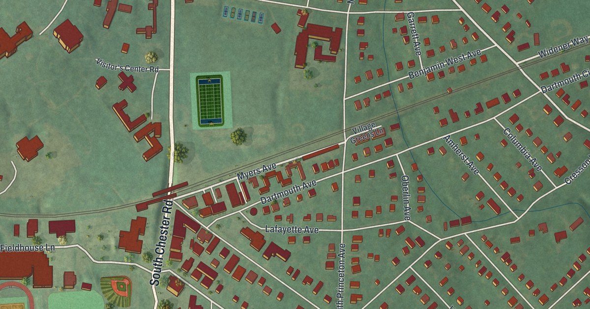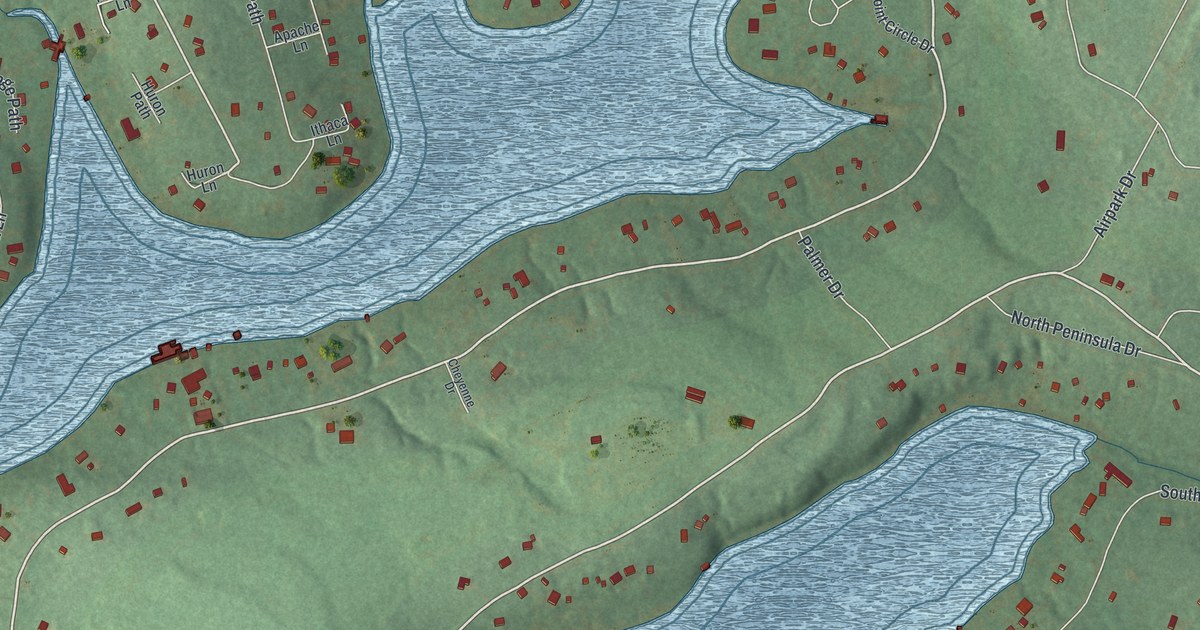
This beautifully detailed map of Indian Lake, Pennsylvania was created in 2026 using aerial imagery combined with modern topographical, census, street and landmark data. It’s a one-of-a-kind view of Indian Lake that combines accurate data with a vintage aesthetic. The map shows every building in its true location, many of the roads carry their names, and the shaded topographic relief shows the shape of the land.
Explore an aerial view of Indian Lake, Pennsylvania
On the map you’ll find Huckleberry Highway, Peninsula Drive, Entrance Drive, Sioux Path, South Shore Trail, West Shore Trail, North Shore Trail, West Airpark Road, East Fairway Road, Indian Drive, South Peninsula Drive, East Airpark Road, and more. If you look closely you can even find your house accurately drawn in its correct location. Zoom in on the preview to look for yours.
Did you know this piece of Indian Lake, Pennsylvania history?
Indian Lake is a small borough in Somerset County. Its golf club opened in 1974 and was the first course Arnold Palmer ever designed. The borough also has a marina and a resort.
Take a closer look at the Indian Lake map
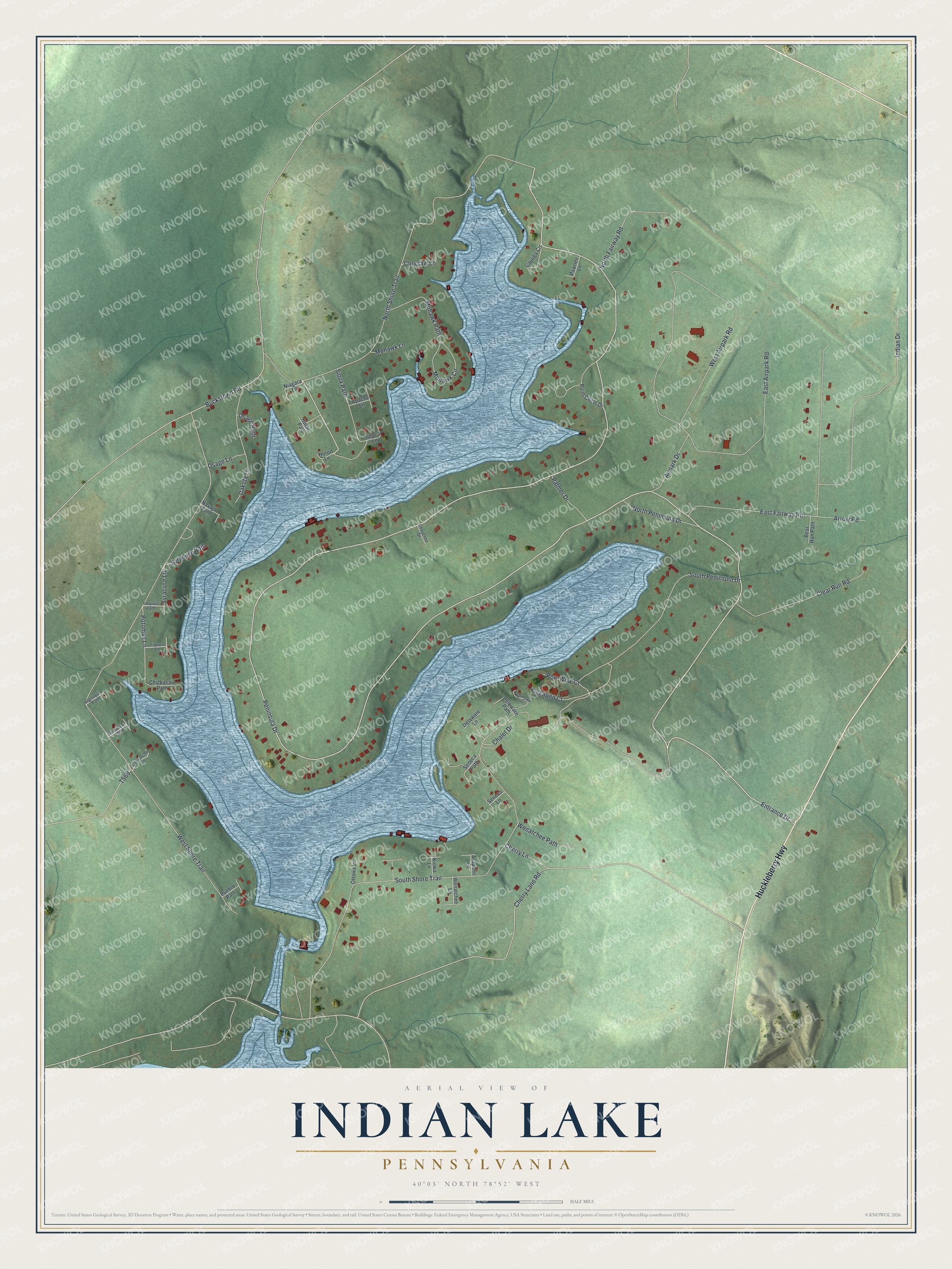
Street names on the Indian Lake, Pennsylvania map
These names are printed on the map of Indian Lake, Pennsylvania.
Streets and roads: Huckleberry Highway, Peninsula Drive, Entrance Drive, Sioux Path, South Shore Trail, West Shore Trail, North Shore Trail, West Airpark Road, East Fairway Road, Indian Drive, South Peninsula Drive, East Airpark Road.
More street names, A to Z
Airpark Drive, Algonquin Path, Apache Lane, Arapaho Lane, Arrow Road, Bear Run Path, Buckstown Road, Cayuga Circle, Chalet Drive, Cherry Lane, Cherry Lane Road, Cheyenne Drive, Chickasaw Path, Choctaw Lane, Clear Run Road, Comanche Lane, Comanche Path, Dakota Lane, Delaware Lane, Deleware Path, Huron Lane, Huron Path, Iriquois Lane, Iroquois Path, Ithaca Lane, Kickapoo Court, Kiowa Lane, Mohawk Circle, Mohawk Lane, Mohawk Path, Navajo Path, Niagara Lane, North Fairway Road, North Peninsula Drive, Osage Lane, Osage Path, Ottawa Lane, Palmer Drive, Pawnee Lane, Point Circle Drive, Potomac Lane, Pow Wow Court, Pueblo Path, Seneca Lane, Seneca Path, Syracuse Lane, Syracuse Path, Tomahawk Trail, Wenatchee Lane, Wenatchee Path.
See the Indian Lake, Pennsylvania map on a wall
The Indian Lake map as an 18 x 24 inch print in a black frame.

This beautifully detailed map of Indian Lake makes an attractive addition to your office, library, or den, and it can even be used to teach children the geography and history of the area. It also makes a great gift for someone who left Indian Lake and still calls it home. When you’re done exploring, click here to get your copy of the Indian Lake map.