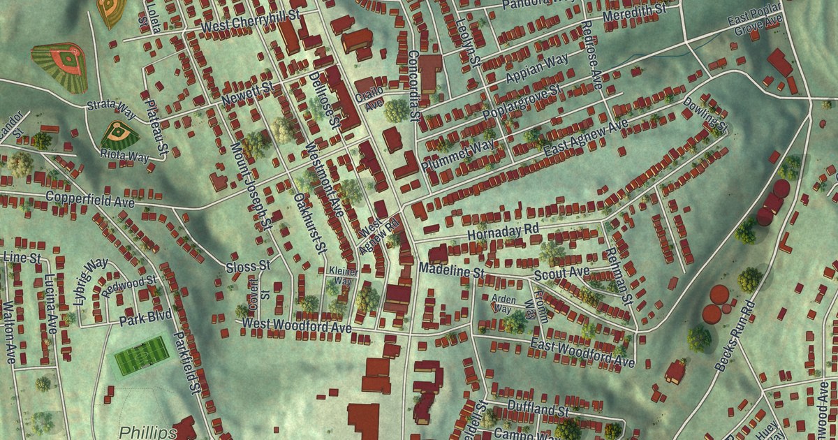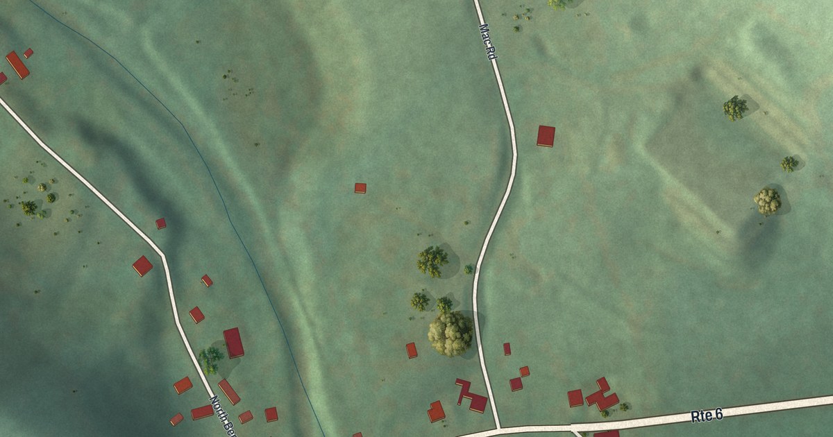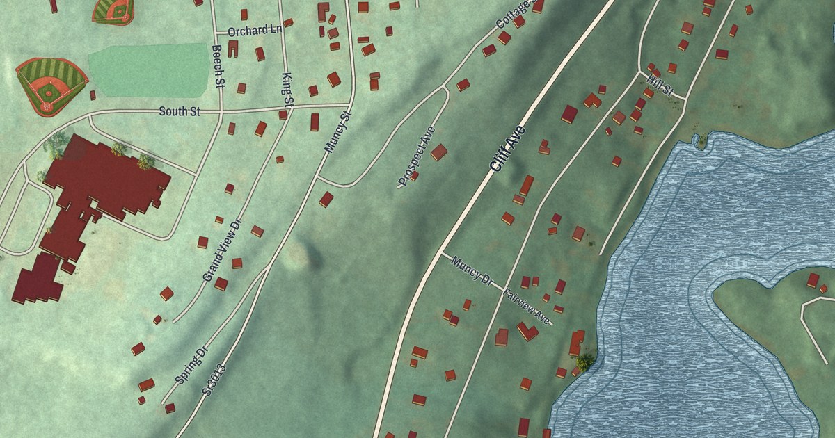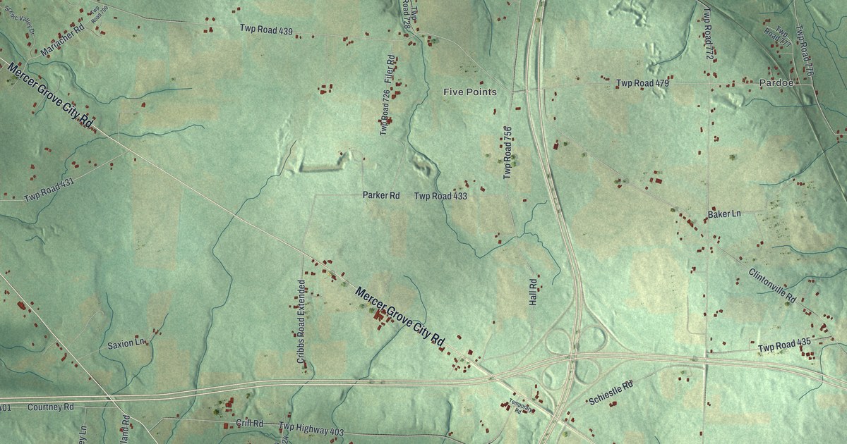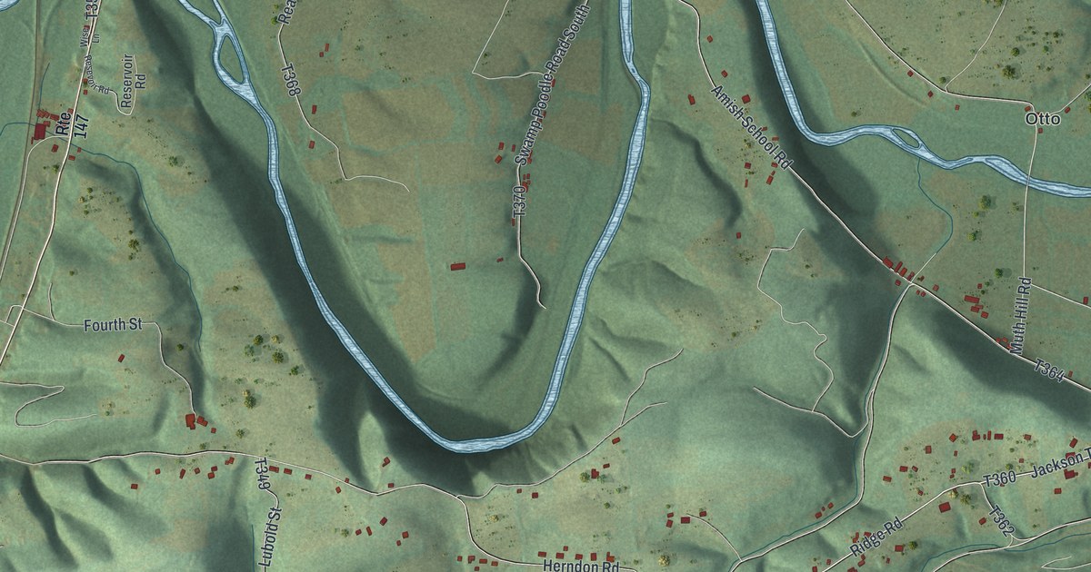
This beautifully detailed map of Jackson, Northumberland County, Pennsylvania was created in 2026 using aerial imagery combined with modern topographical, census, street and landmark data. It’s a one-of-a-kind view of Jackson that combines accurate data with a vintage aesthetic. The map shows every building in its true location, many of the roads carry their names, and the shaded topographic relief shows the shape of the land.
Explore an aerial view of Jackson, Northumberland County, Pennsylvania
On the map you’ll find Mandata, Red Cross, State Game Lands Number 84, Dundore, Kneass, and Otto, along with Mandata Road, Ridge Road, Grove Road, Rebuck Road, and more. If you look closely you can even find your house accurately drawn in its correct location. Zoom in on the preview to look for yours.
Did you know this piece of Jackson, Northumberland County, Pennsylvania history?
From the 1891 History of Northumberland County, Pennsylvania: "Two saw mills were once in operation, established by Ziegler & Brother and Albert & Bower, respectively, but both have been destroyed by fire; the latter has been rebuilt, and is now owned by Isaac Albert."
Take a closer look at the Jackson, Northumberland County map
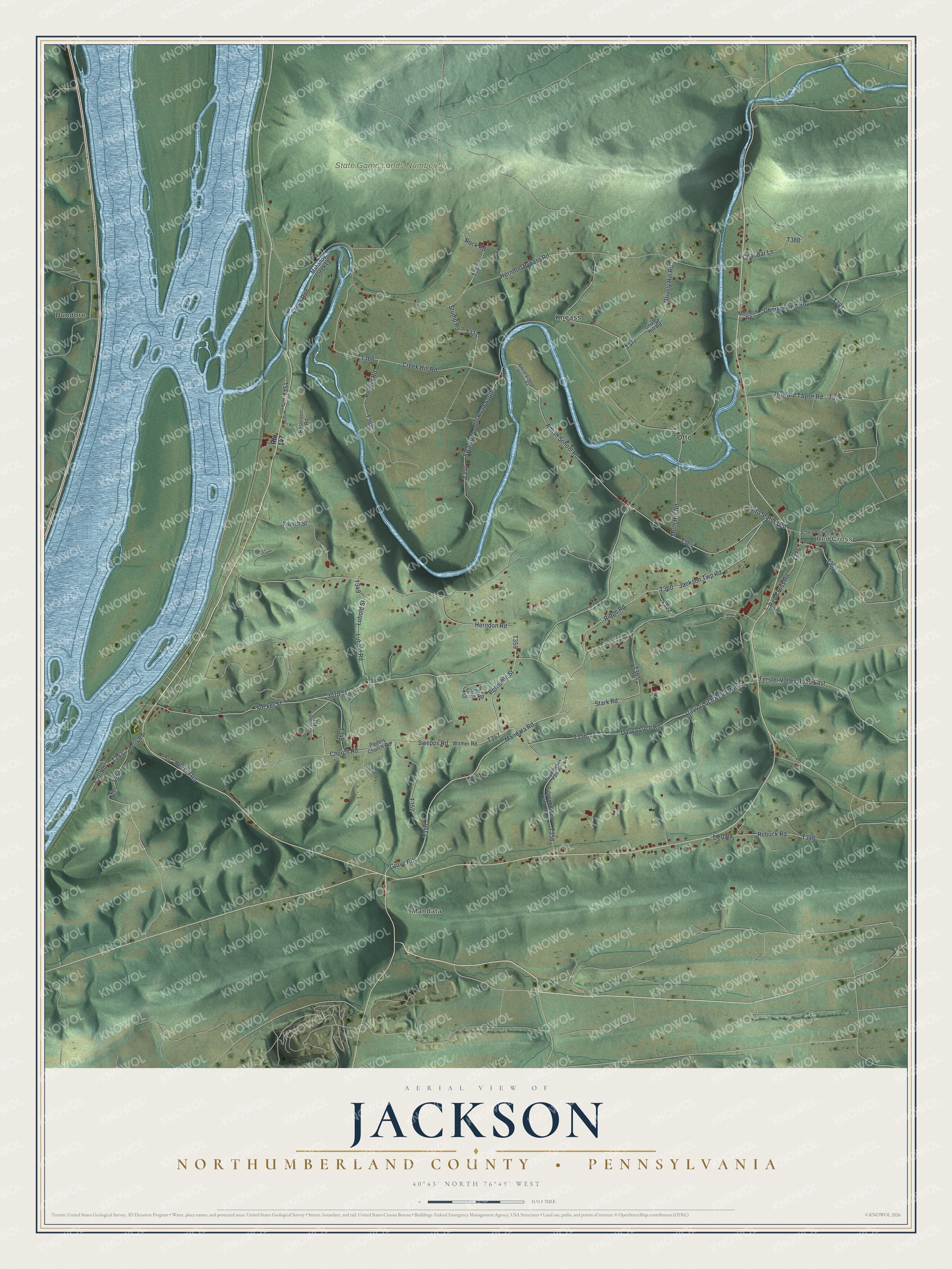
Street and place names on the Jackson, Northumberland County, Pennsylvania map
These names are printed on the map of Jackson, Northumberland County, Pennsylvania.
Places: Mandata, Red Cross, State Game Lands Number 84, Dundore, Kneass and Otto.
Streets and roads: Mandata Road, Ridge Road, Grove Road, Rebuck Road, Church Road, Red Cross Road, Derl Road, Sucker Street, 3010 Street, Jackson Twp Road, Amish School Road, Pottsville Street.
More street names, A to Z
Amish School House Road, Camp Grove Road, Carl Road, Carls Hill, Char Bar Lane, Cherry Town Road, Creek Hill Road, Creek Road, Dauva Luch Road, Dauva Luch Road West, Ferry Road, Ferster Valley Road East, Fourth Street, Grively Hill Road, Grivley Hill Road, Hecker Road, Herndon Bypass Road, Herndon Road, Howard Taylor Road, Lubold Road, Lubold Street, Mahanoy Creek Lane, Moslock Road, Muth Hill Road, Otto Station Road, Peifers Church Road, Reader Road, Reservoir Road, Resevoir Road, Rock Road, Route 147, Schwaben Creek Road, Stark Road, Stump Road, Swamp Poodle Road South, Swepps Road, Tulpehocken Path Road, Tulpenhocken Path Road, Wilhour Road, Wise Lane, Witmer Road.
See the Jackson, Northumberland County, Pennsylvania map on a wall
The Jackson, Northumberland County map as an 18 x 24 inch print in a black frame.

This beautifully detailed map of Jackson, Northumberland County makes an attractive addition to your office, library, or den, and it can even be used to teach children the geography and history of the area. It also makes a great gift for anyone with Jackson roots. When you’re done exploring, click here to get your copy of the Jackson, Northumberland County map.