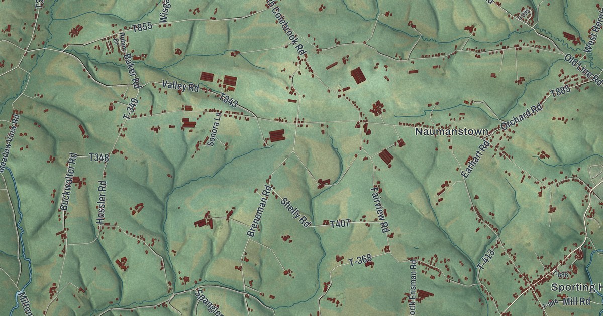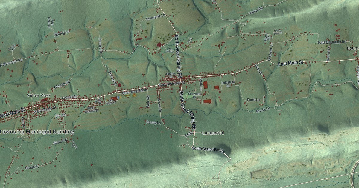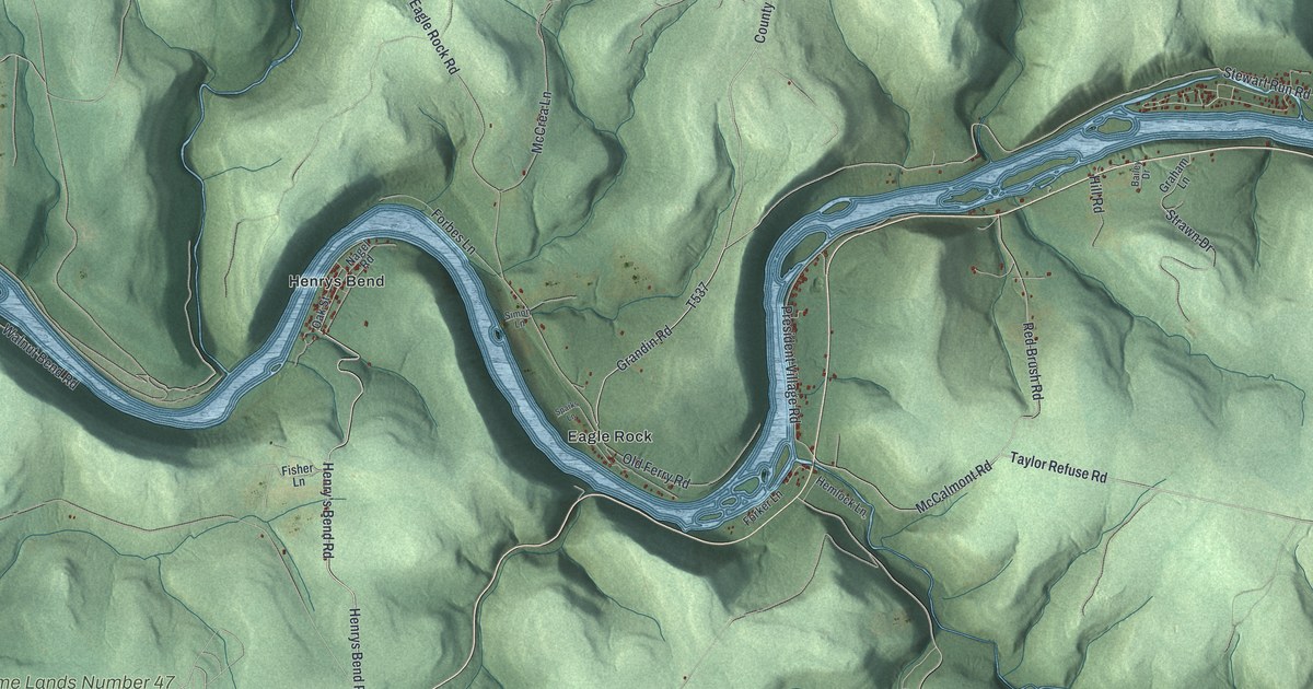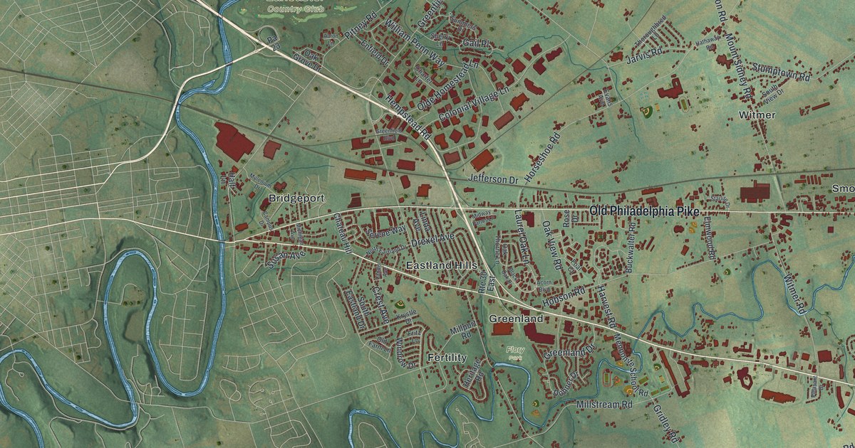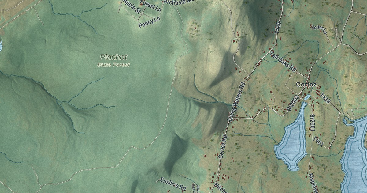
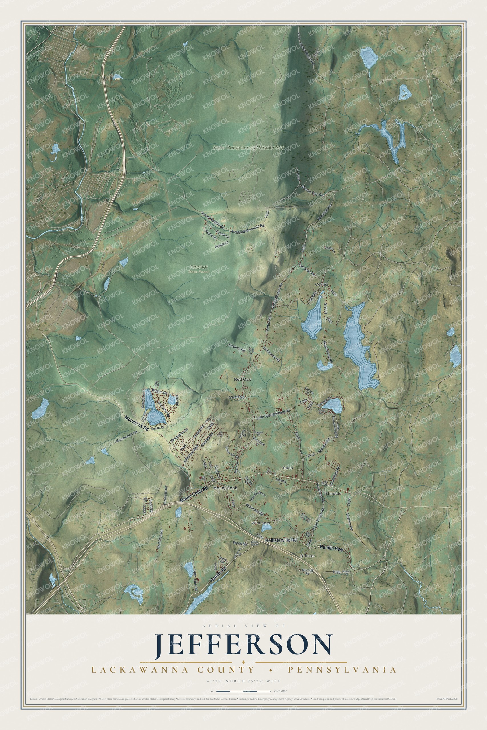
This beautifully detailed map of Jefferson, Lackawanna County, Pennsylvania was created in 2026 using aerial imagery combined with modern topographical, census, street and landmark data. It's a modern aerial view of Jefferson, Lackawanna County in Lackawanna County, Pennsylvania, that combines modern data with a vintage aesthetic. The roads feature printed names, and if you look closely you can find your exact house accurately shown in its correct location.
Explore an aerial view of Jefferson, Lackawanna County, Pennsylvania
On this map you'll find Drinker, Wimmers, Elmdale, Pinchot State Forest, State Game Lands Number 300, Cortez, Mount Cobb, Red Oak, Saco, Mount Cobb Road, Hollisterville Road, Hamlin Highway, and more. Each red shape is a building, so zoom in on the preview and look for yours.
Jefferson, Lackawanna County has a story worth telling. The Internet Archive puts it this way: "The oldest grave-yard in the township is on the Elisha
Potter place on the east boundary line; the first body
buried there was that of Asa Cobb, sen."
Jefferson, Lackawanna County is a place in Lackawanna County. The Census Bureau counted 3,765 people here in 2020.
Take a closer look at the Jefferson, Lackawanna County map
Names on this map
These names are printed on this map.
Places: Drinker, Wimmers, Elmdale, Pinchot State Forest, State Game Lands Number 300, Cortez, Mount Cobb, Red Oak and Saco.
Streets and roads: Mount Cobb Road, Hollisterville Road, Hamlin Highway, Moosic Lk Road, Hamlin Road, Lake Spangenberg Road, George Drive, Scott Road, Mountain Road, Salem Heights Road, Cortez Road, Sr2003.
More street names, A to Z
Apple Street, Archbald Mountain Road, Bicycle Path Road, Brundage Drive, Butler Hill Road, Charles Road, Circle Drive, Country Lane, Dusty Lane, Duval Street, Enslin's Road, Fitzpatrick Road, Forest Lane, Forest Road, Glen Road, Golf Club Road, Gravity Drive, Hampshire Drive, Hill Street, Hitchcock Road, Hollisterville Highway, Jefferson Boulevard, Lake Spangenburg Road, Lavis Road, Line Road, Lions Road, Living Waters Road, Log Road, Madison Road, Maplewood Road, Marion Lake Road, Marshwood Road, Missionary Retreat Road, Mitchell Road, Moosic Gap Road, Mott Drive, O'Hara Road, Olde Grove Lane, Old Lake Road, Old Mill Road, Parry Road, Penny Lane, Pump House Road, Pumphouse Road, Red Oak Lane, Robinson Road, Salem Mount Road, Sandra Road, Sheerer Road, Sr2001, Sr3022, Stevens Road, Stonefield Drive, Sunrise Boulevard, Sunset Drive, T-470, Tall Oaks Road, Trapper Road, Victoria Circle, Wagon Road, West Shore Drive, Wimmers Road, Wood Road, Zeiler Lane.
Created by KNOWOL in 2026. The buildings are small red shapes, the roads carry their printed names, and shaded relief shows the shape of the land. The title panel reads "AERIAL VIEW OF JEFFERSON LACKAWANNA COUNTY • PENNSYLVANIA" with 4, 1, °, 2, 8, ', , N, O, R, T, H, , 7, 5, °, 2, 9, ', , W, E, S, T.
It looks right in a kitchen, an office or a den, and it's a gift for anyone who grew up in Jefferson, Lackawanna County or moved away. Open the preview and find your street. See sizes and frames for the Jefferson, Lackawanna County map.