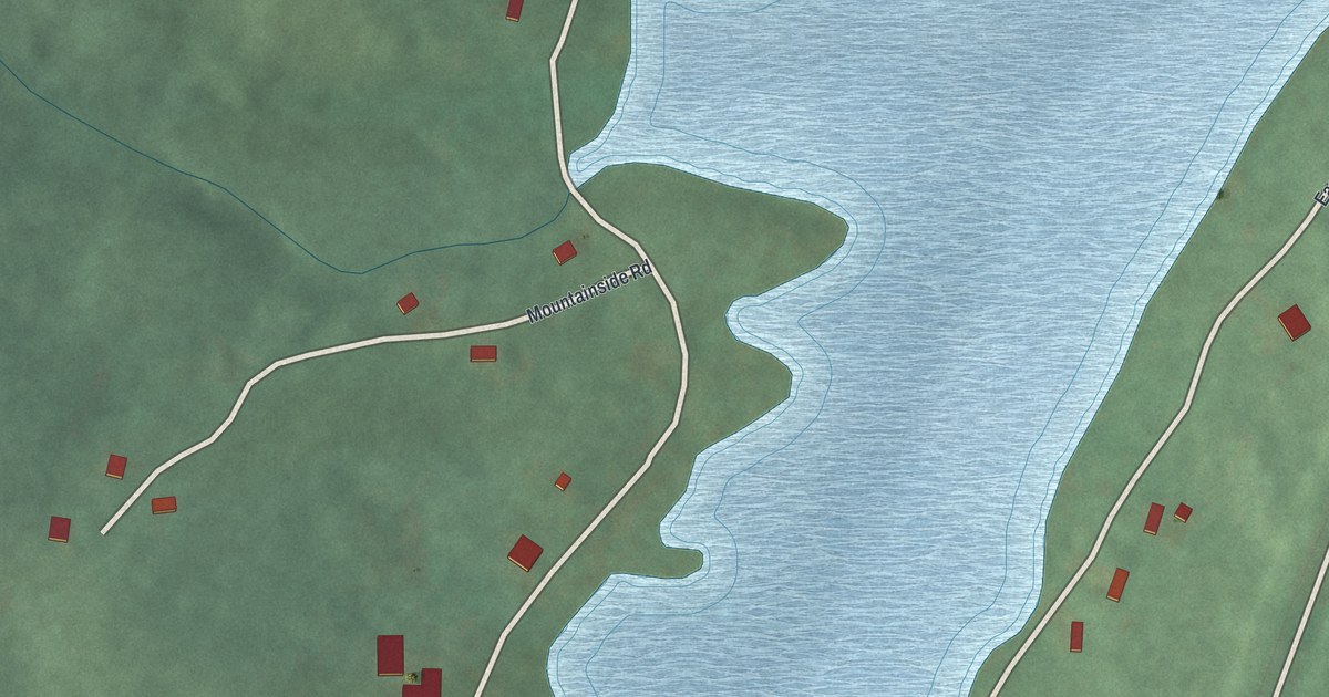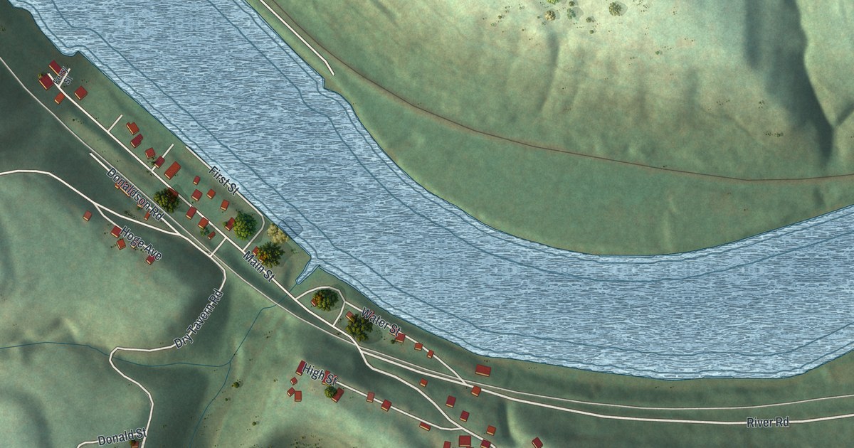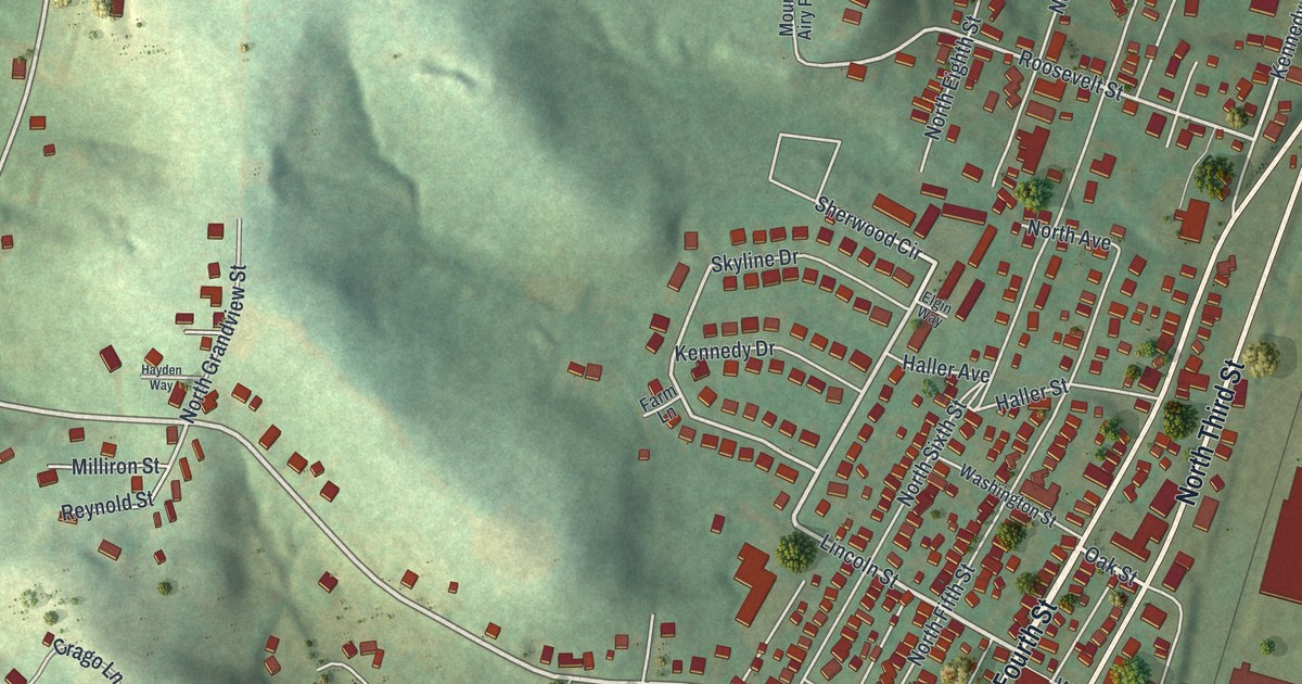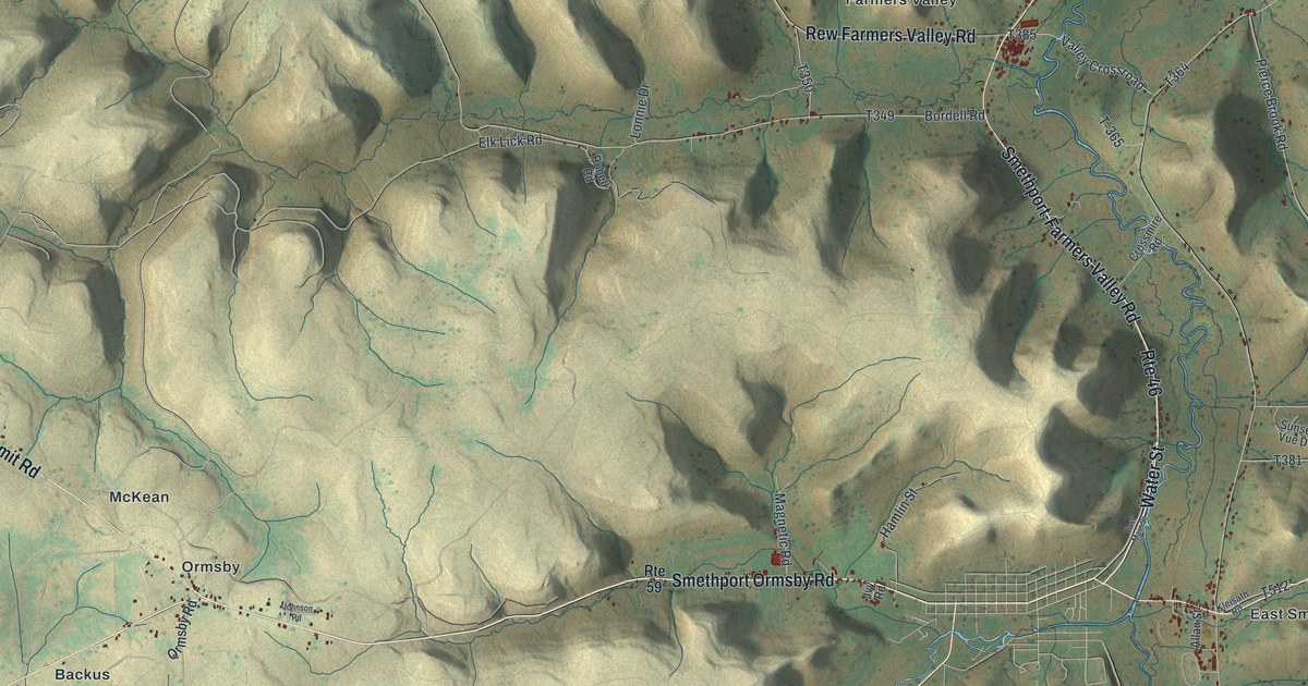
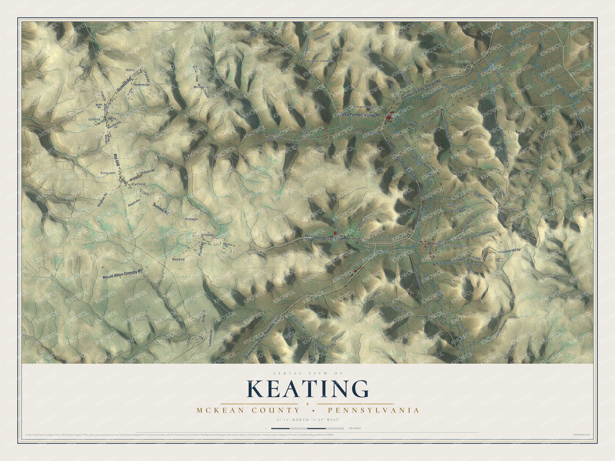
This beautifully detailed map of Keating, McKean County, Pennsylvania was created in 2026 using aerial imagery combined with modern topographical, census, street and landmark data. It’s a one-of-a-kind view of Keating that combines accurate data with a vintage aesthetic. The map shows every building in its true location, many of the roads carry their names, and the shaded topographic relief shows the shape of the land.
Explore an aerial view of Keating, McKean County, Pennsylvania
On the map you’ll find Gifford, Coryville, Aiken, Simpson, State Game Lands Number 62, Backus, Bordell, Coleville, Cyclone, East Smethport, Farmers Valley, McKean, and more. If you look closely you can even find your house accurately drawn in its correct location. Zoom in on the preview to look for yours.
Did you know this piece of Keating, McKean County, Pennsylvania history?
Keating Township takes its name from John Keating. He was the manager and a trustee of the Ceres Company. That land company opened up this part of McKean County and sold farms to the settlers who came.
Take a closer look at the Keating, McKean County map
Street and place names on the Keating, McKean County, Pennsylvania map
These names are printed on the map of Keating, McKean County, Pennsylvania.
Places: Gifford, Coryville, Aiken, Simpson, State Game Lands Number 62, Backus, Bordell, Coleville, Cyclone, East Smethport, Farmers Valley, McKean, Ormsby, Wolf Run and Wrights Corners.
Streets and roads: Smethport Ormsby Road, Water Street, Mount Alton-Ormsby Road, Smethport-Farmers Valley Road, Grand Army of the Republic Highway, Farmers Valley-Eldred Road, Route 646, Summit Road, Rew Farmers Valley Road, Route 46, Bingham Road, Champlain Hill Road.
More street names, A to Z
Allan Street, Apple Road, Apricot Drive, Aqua Drive, Baker Road, Bear Hill, Bordell Road, Bradley Road, Bridge Street, Columbia Hill Road, Crossmire Road, Daily Brook Road, Deep Well Road, Digel Hollow, East Main Street, East Valley Road, Elk Lick Road, Elm Road, Emporium Road, Faith Road, Fern Hollow, Gifford Hollow, Hackett Hollow, Hamlin Street, Holly Drive, Irish Hollow Road, Irons Hollow, Ivy Road, Jane Ware Road, Johnson Road, Kent Hollow, Kent Hollow Road, Kleisath Road, Lindholm Road, Lonnie Drive, Magnetic Road, Mountaintop Road, Northland Road, Ormsby Road, Peach Drive, Pierce Brook Road, Pithole Road, Prospect Hill Road, Reilly Hollow, Robell Road, Route 59, Spring Run Road, Spring Street, Stickles Hollow, Sunset Vue Drive, T-350, T-365, T-377, T-378, T-442, Tanner Road, Tree Line Drive, Tulip Drive, Valley Crossroad, Ventures Drive, Vincent Hollow Road, Water Road, Weimer Run, West Valley Road, Wolf Run Road.
See the Keating, McKean County, Pennsylvania map on a wall
The Keating, McKean County map as an 18 x 24 inch print in a black frame.

This beautifully detailed map of Keating, McKean County makes an attractive addition to your office, library, or den, and it can even be used to teach children the geography and history of the area. It also makes a great gift for anyone who grew up in Keating or moved away. When you’re done exploring, click here to get your copy of the Keating, McKean County map.