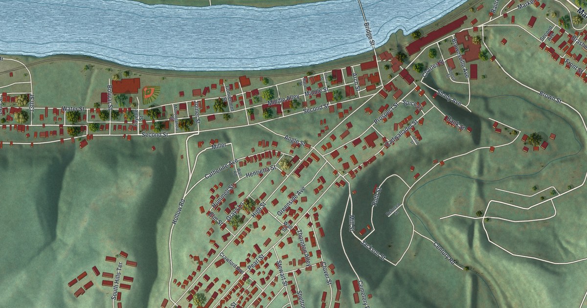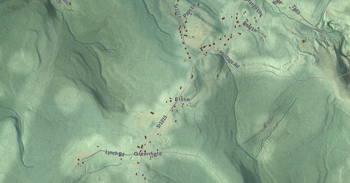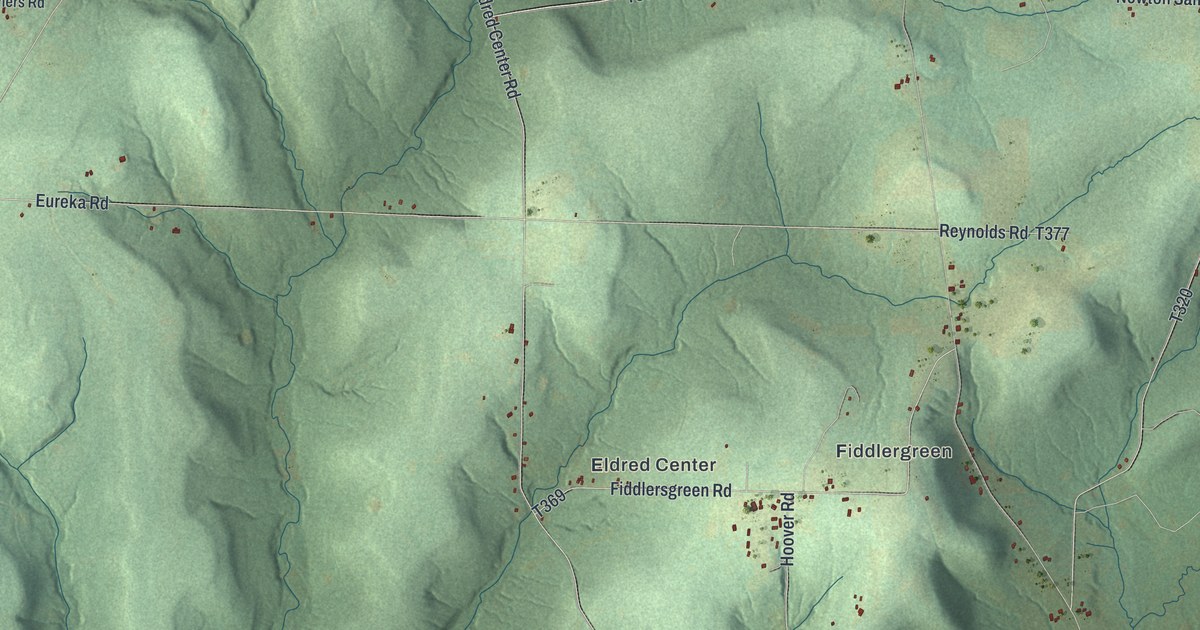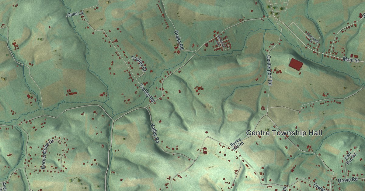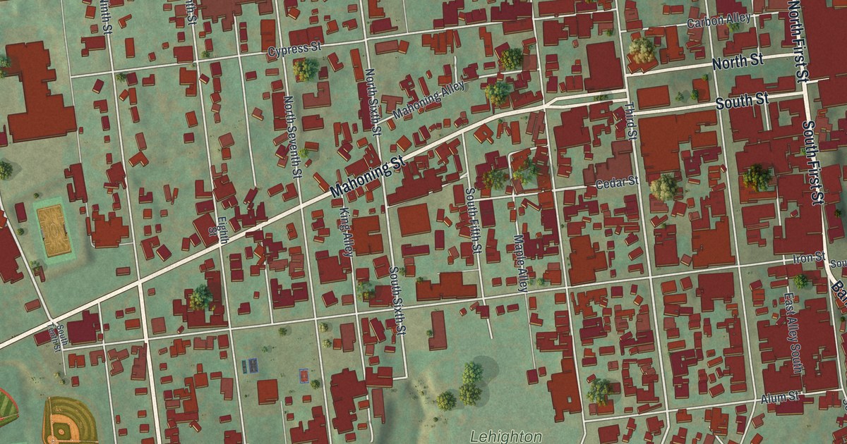
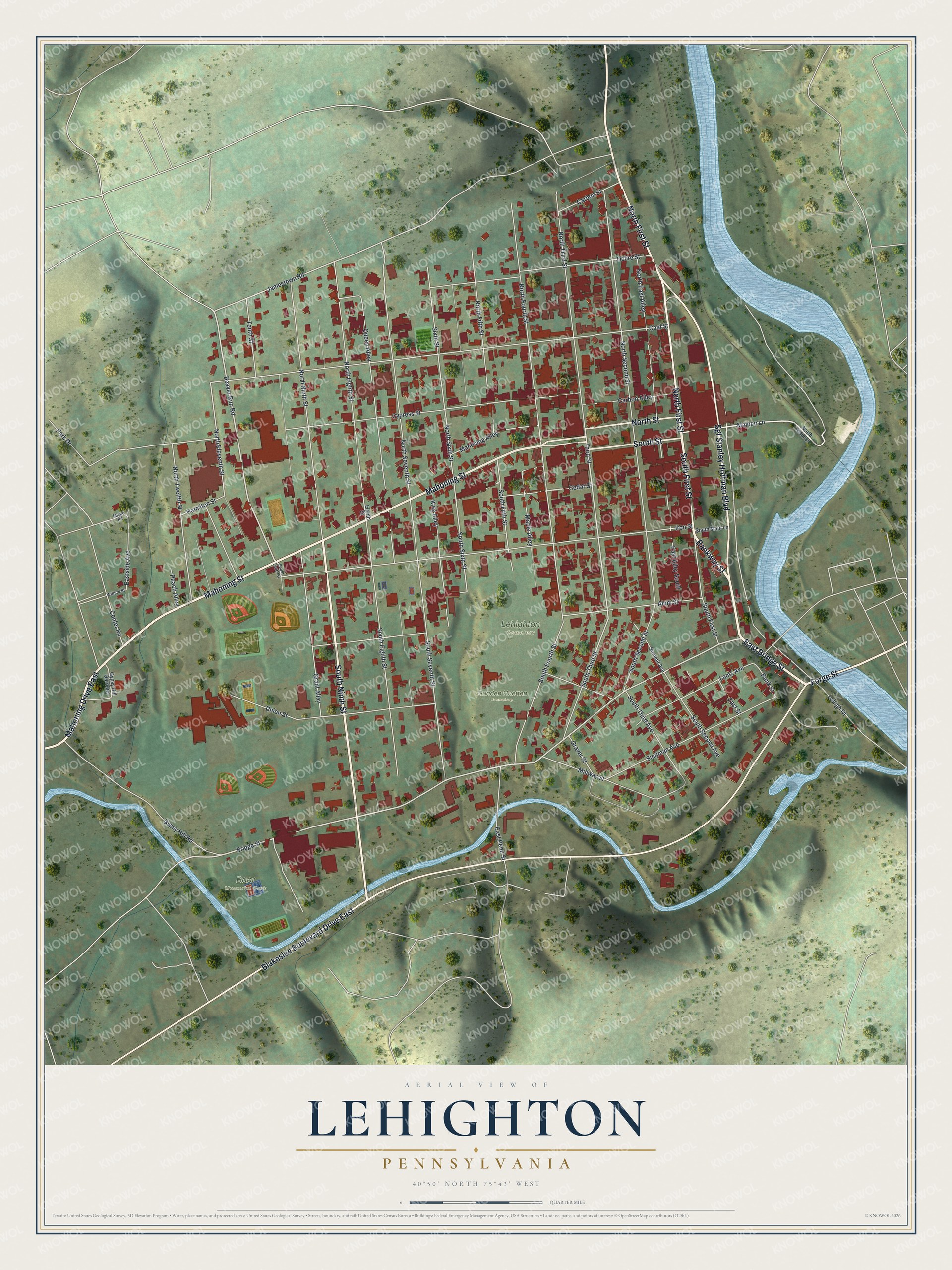
This beautifully detailed map of Lehighton, Pennsylvania was created in 2026 using aerial imagery combined with modern topographical, census, street and landmark data. It's a modern aerial view of Lehighton in Carbon County, Pennsylvania, that combines modern data with a vintage aesthetic. The roads feature printed names, and if you look closely you can find your exact house accurately shown in its correct location.
Explore an aerial view of Lehighton, Pennsylvania
On this map you'll find Baer Memorial Park, Lehighton Cemetery, Gnaden Huetten Cemetery, Bankway Street, South First Street, East Bridge Street, Mahoning Street, Forge Street, South Ninth Street, North First Street, Sgt Stanley Hoffman Boulevard, North Street, and more. Each red shape is a building, so zoom in on the preview and look for yours.
Here is a piece of Lehighton history, in the words of the record. The Pennsylvania Historical and Museum Commission puts it this way: "The Moravian mission of this name was built in 1746 to accommodate the growing number of Mohican and Delaware Indian converts. It was the first white settlement in present-day Carbon County. It was burned on November 24, 1755, during a raid by Indians stirred to violence by the French. Victims of the attack are buried in the Lehighton Cemetery near here."
Lehighton is a borough in Carbon County. The Census Bureau counted 5,248 people here in 2020.
Take a closer look at the Lehighton map
Names on this map
These names are printed on this map.
Places: Baer Memorial Park, Lehighton Cemetery and Gnaden Huetten Cemetery.
Streets and roads: Bankway Street, South First Street, East Bridge Street, Mahoning Street, Mahoning Drive East, Forge Street, South Ninth Street, North First Street, Sgt Stanley Hoffman Boulevard, Blakeslee Boulevard Drive East, North Street, South Street.
More street names, A to Z
Alum Street, Bank Street, Beaver Run Road, Bridge Street, Carbon Alley, Carbon Street, Cedar Street, Center Road, Coal Street, Cypress Street, East Alley South, East Penn Street, Eastside Avenue, East Street, Eighth Street, Grant Alley, Graver Street, Gypsy Hill Gardens, Gypsy Hill Road, Hamilton Street, Iron Street, Jamestown Road, King Alley, Lehigh Drive, Lentz Avenue, Mahoning Alley, Maiden Lane, Maple Alley, Maple Road, Millway Street, North East Alley, North Eighth Street, North Eleventh Street, North Fifth Street, North Fourth Street, North Main Lane, North Ninth Street, North Second Street, North Seventh Street, North Sixth Street, North Third Street, North Twelfth Street, Ochre Street, Park Drive, Peach Alley, Queen Alley, Sixth Street, South Eighth Street, South Fifth Street, South Fourth Street, South Main Lane, South Second Avenue, South Second Street, South Seventh Street, South Sixth Street, South Tenth Street, South Third Avenue, South Third Street, Stedman Avenue, Summit Avenue, Tenth Street, Third Street, Union Street, Willard Street.
Created by KNOWOL in 2026. The buildings are small red shapes, the roads carry their printed names, and shaded relief shows the shape of the land. The title panel reads "AERIAL VIEW OF LEHIGHTON PENNSYLVANIA" with 4, 0, °, 5, 0, ', , N, O, R, T, H, , 7, 5, °, 4, 3, ', , W, E, S, T.
It suits a den, a classroom or a front hall, and it makes a gift for anyone with Lehighton roots. Open the preview and find the block you know. See sizes and frames for the Lehighton map.