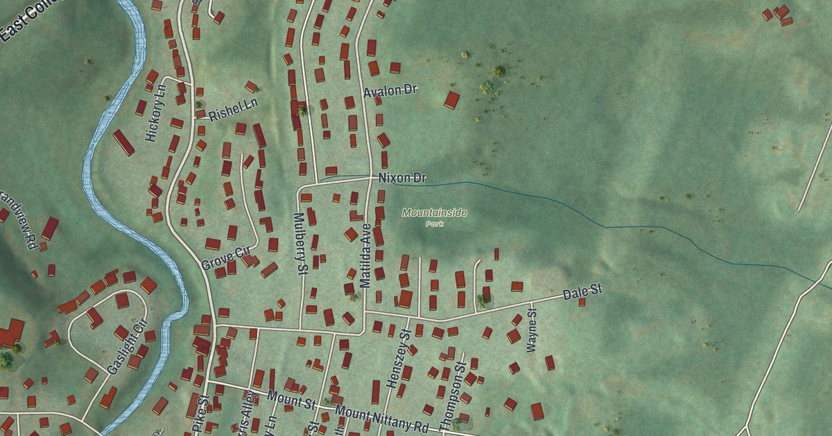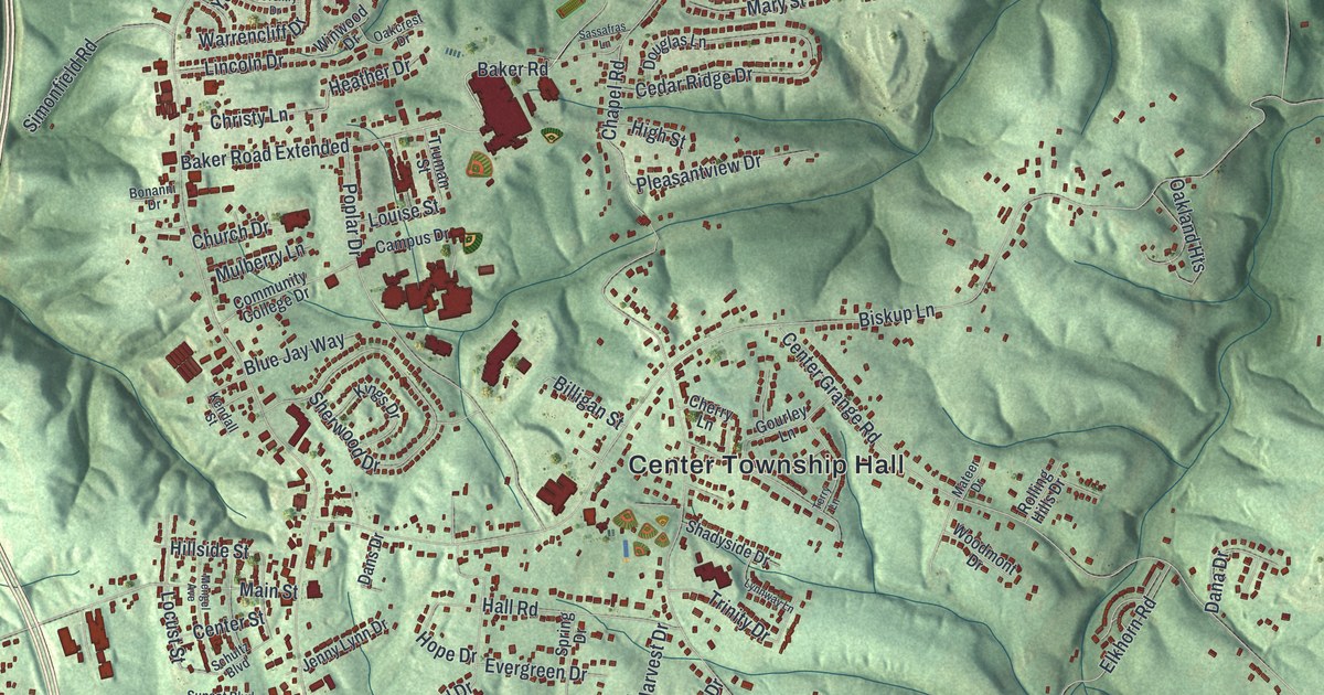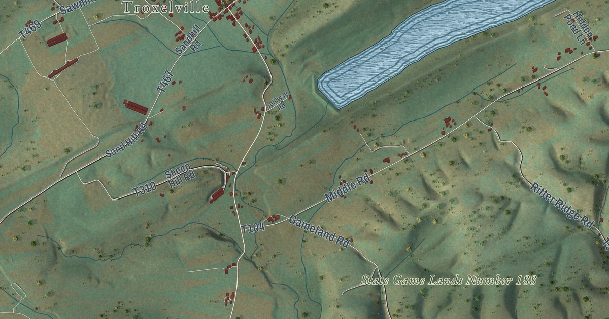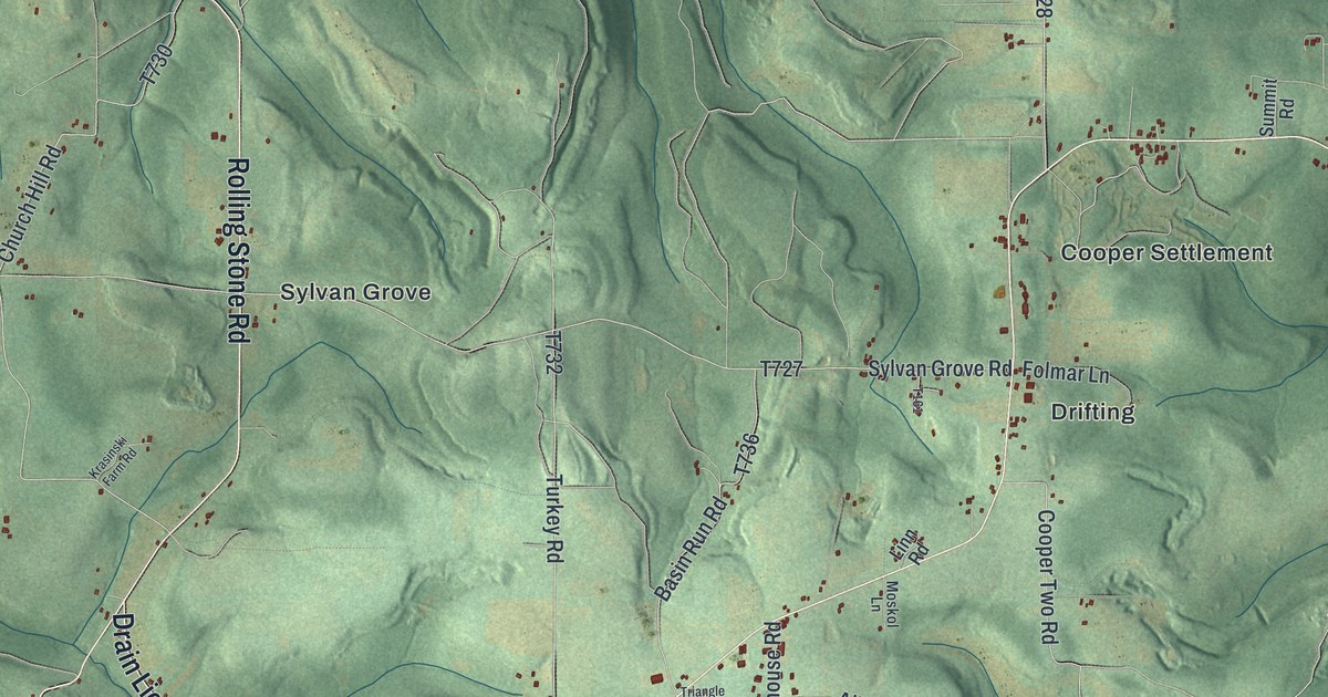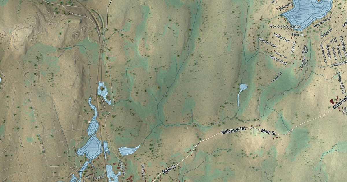
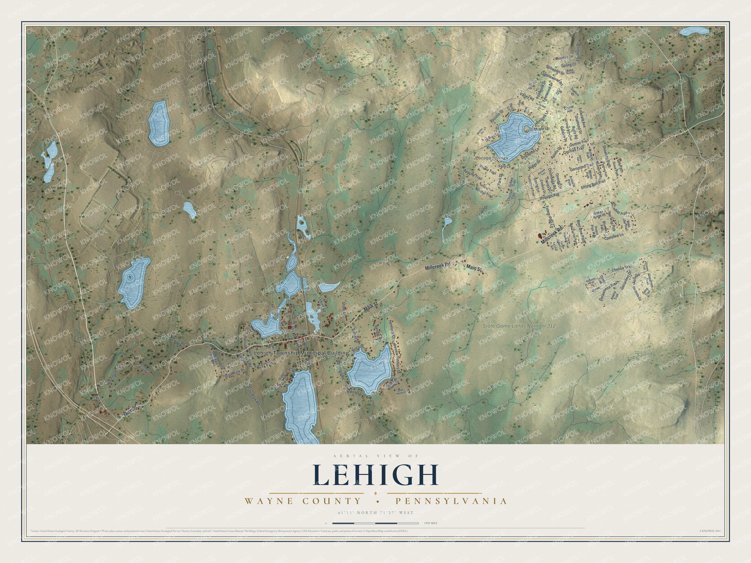
This beautifully detailed map of Lehigh, Wayne County, Pennsylvania was created in 2026 using aerial imagery combined with modern topographical, census, street and landmark data. It’s a one-of-a-kind view of Lehigh that combines accurate data with a vintage aesthetic. The map shows every building in its true location, many of the roads carry their names, and the shaded topographic relief shows the shape of the land.
Explore an aerial view of Lehigh, Wayne County, Pennsylvania
On the map you’ll find Lehigh Township Municipal Building, Gouldsboro, Pocono Springs, State Game Lands Number 312, and Tobyhanna State Park, along with Main Street, Millcreek Road, Delawanna Trail, Geronimo Drive, Lakeview Timbers Drive, Tobyhanna Road, and more. If you look closely you can even find your house accurately drawn in its correct location. Zoom in on the preview to look for yours.
Did you know this piece of Lehigh, Wayne County, Pennsylvania history?
From the 1886 History of Wayne, Pike, and Monroe Counties, Pennsylvania: "Although the land is stony, its nearness to the railroad will cause it to be improved, especially in the vicinity of Sand Cut, and the future historian will doubtless see good farms in place of bear swamps and slashings."
Take a closer look at the Lehigh, Wayne County map
Street and place names on the Lehigh, Wayne County, Pennsylvania map
These names are printed on the map of Lehigh, Wayne County, Pennsylvania.
Places: Lehigh Township Municipal Building, Gouldsboro, Pocono Springs, State Game Lands Number 312 and Tobyhanna State Park.
Streets and roads: Main Street, Millcreek Road, Delawanna Trail, Geronimo Drive, Lakeview Timbers Drive, Tobyhanna Road, Sitting Bull Trail, Emerald Avenue, Stillwater Drive, State Park Road, Ute Path, Aconee.
More street names, A to Z
Adena Trail, Ahwahnee Trail, Apache Trail, Apollo Drive, Arapaho Path, Bear Drive, Bender Road, Bent Bow Path, Big Chief Trail, Blue Heron Court, Blue Sky Path, Broken Arrow Lane, Campfire Lane, Cayuga Drive, Cedar Run Road, Chenoa Trail, Cherry Lane, Choctaw Trail, Cobblewood Road, Cochise Trail, Crazy Papoose Trail, Crystal Avenue, Diamond Drive, Dogwood Lane, Elm Court, Evergreen Drive, Falls Lane, Fern Lane, Fernwood Drive, Fifth Street, Fountain Drive, Fourth Street, Fox Lane, Galaxie Place, Gemini Trail, Geronimo Trail, Glenside Drive, Hemlock Court, Hemlock Lane, Ironwood Drive, Iroquois Avenue, Iroquois Path, John Drive, Kayenta Trail, Kiowa Path, Kiowa Trail, Lake Avenue, Lake Drive, Lehigh River Court, Lehigh Road, Louis Lane, Maple Lane, Mink Lane, Minnow Lane, Mohawk Trail, Mohican Path, Mountain Drive, Mountain Side Drive, Navajo Path, Navajo Trail, Northridge Drive, North Shore Drive, Oak Court, Oconee Trail, Ojibwa Trail, Old Silver Mine Trail, Oneida Drive, Onondaga Road, Osceola Circle, Osseo Trail, Park Drive, Pawnee Path, Peace Pipe Way, Perch Lane, Phillips Road, Pocono Drive, Red Wing Path, Ridge Drive, Ridge Street, Riverfront Way, Roundup Trail, Ruby Road, Saint Pk Road, Saphire Court, Second Street, Sena Trail, Seneca Drive, Shady Lane, Shawnee Path, Shoshoni Trail, Sioux Path, Spring Court, Spring Lane, State Park Drive, Sunset Drive, T-304, Third Street, Totem Pole Lane, Tuscarora Trail, Valley Road, War Dance Path, Watawga Way West, Westwood Drive, Wichita Court, Wildflower Circle, Winoa, Wise Owl Trail, Young Brave Trail.
See the Lehigh, Wayne County, Pennsylvania map on a wall
The Lehigh, Wayne County map as an 18 x 24 inch print in a black frame.

This beautifully detailed map of Lehigh, Wayne County makes an attractive addition to your office, library, or den, and it can even be used to teach children the geography and history of the area. It also makes a great gift for someone who left Lehigh and still calls it home. When you’re done exploring, click here to get your copy of the Lehigh, Wayne County map.