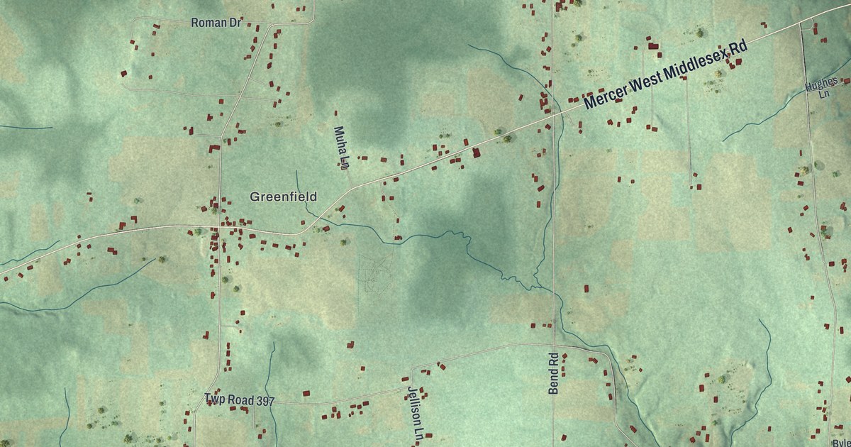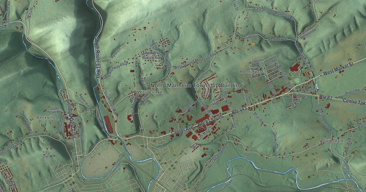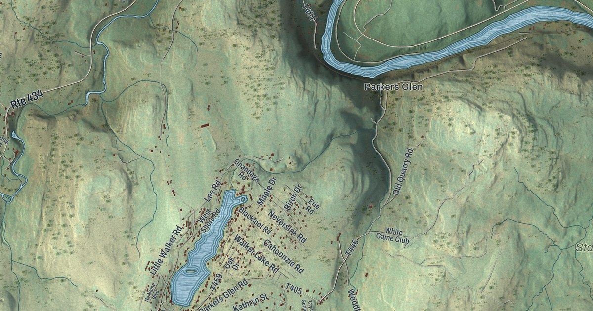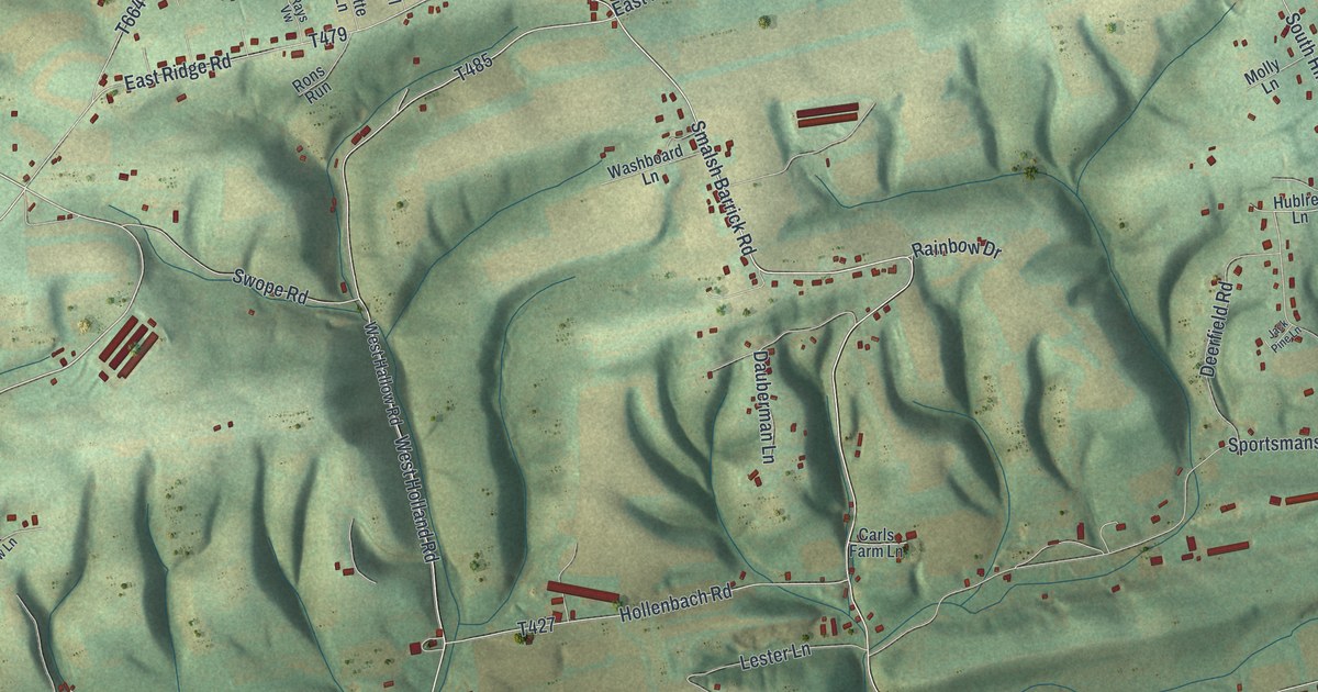
This beautifully detailed map of Middlecreek, Snyder County, Pennsylvania was created in 2026 using aerial imagery combined with modern topographical, census, street and landmark data. It’s a one-of-a-kind view of Middlecreek that combines accurate data with a vintage aesthetic. The map shows every building in its true location, many of the roads carry their names, and the shaded topographic relief shows the shape of the land.
Explore an aerial view of Middlecreek, Snyder County, Pennsylvania
On the map you’ll find Meiser Station, Globe Mills, and Kreamer, along with Globe Mills Road, Sale Barn Road, White Top Road, Smalsh Barrick Road, Oak Lane, West Hollow Road, East Hollow Road, and more. If you look closely you can even find your house accurately drawn in its correct location. Zoom in on the preview to look for yours.
Did you know this piece of Middlecreek, Snyder County, Pennsylvania history?
From the Pennsylvania Historical and Museum Commission: "This pioneer refuge during the Revolutionary War era was located at a spring 100 yards south. Built on Matthias Schoch's tract about 1770 and in use until 1783."
Take a closer look at the Middlecreek, Snyder County map
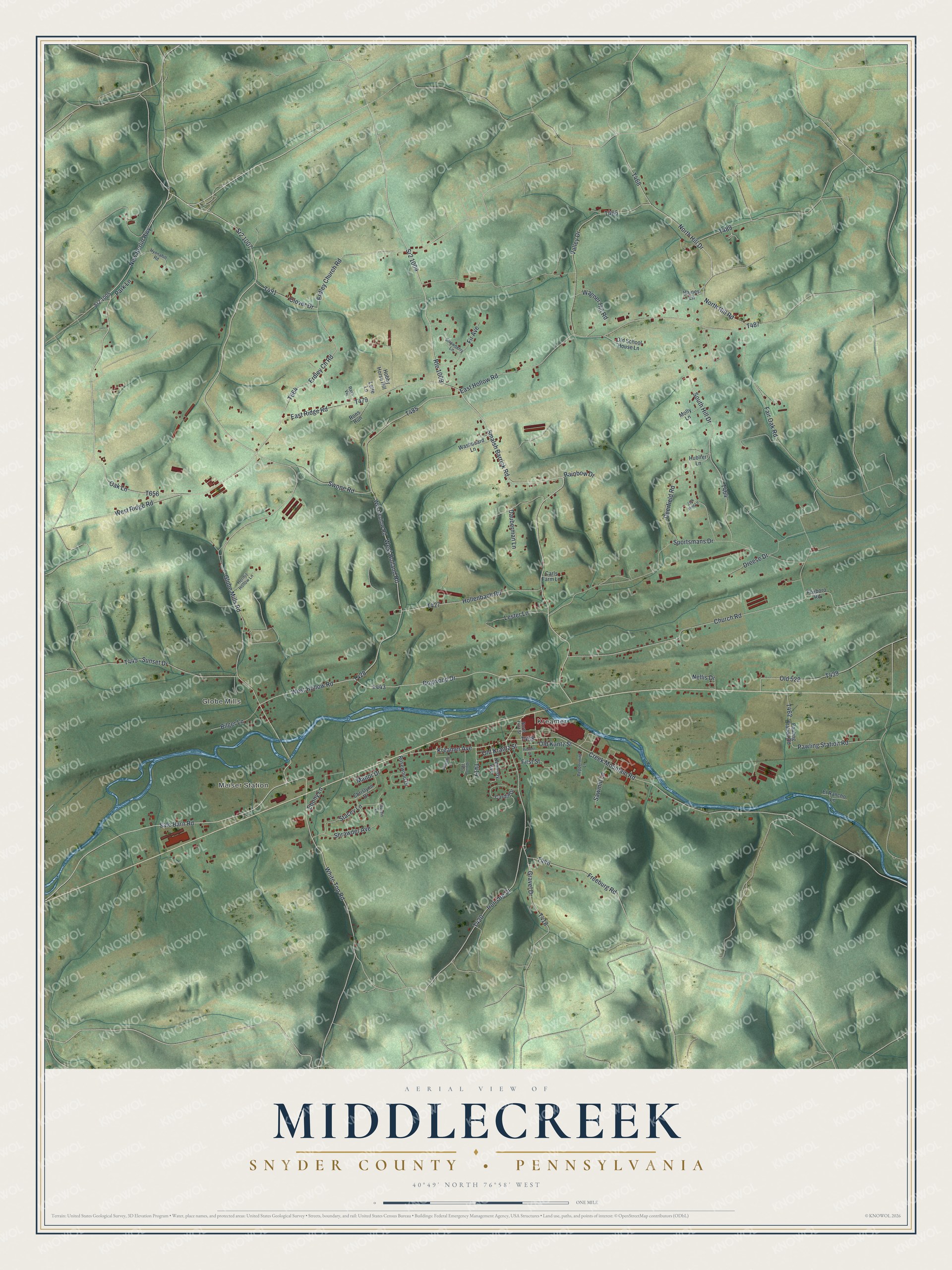
Street and place names on the Middlecreek, Snyder County, Pennsylvania map
These names are printed on the map of Middlecreek, Snyder County, Pennsylvania.
Places: Meiser Station, Globe Mills and Kreamer.
Streets and roads: Globe Mills Road, Sale Barn Road, White Top Road, Route 1009, Smalsh Barrick Road, Oak Lane, West Hollow Road, East Hollow Road, Sr2 1007, North Hill Drive, Dogwood Drive, West Ridge Road.
More street names, A to Z
Austin Lane, Bilger Lane, Cardiff Drive, Carls Farm Lane, Chrislynn Drive, Church Road, Clover Drive, Creek Mountain Road, Dauberman Lane, Deerfield Road, Dreese Drive, East Ridge Road, Ebony Lane, El Rancho Lane, Erdley Ch Road, Erdley Church Road, Fair Oak Road, Fir Avenue, First Street, Foxboro Road, Freeburg Road, Gravel Drive, Haines Lane, Hermit Hollow Lane, Hobby Horse Hill, Hollenbach Road, Hublrer Lane, Hyonahill Road, Iron Ore Drive, Jack Pine Lane, Kennedy Avenue, Kreamer Avenue, Lester Lane, Long Pond Drive, Lotte Lane, Manor Drive, Molly Lane, Nellis Drive, New Berlin Highway, North First Street, North Hill Road, Old 522, Old Kantz Street, Old Krantz Street, Old School House Lane, Park Lane, Pauling Station Road, Pawling Station Road, Peppermint Lane, Pioneer Street, Rainbow Drive, Rays Vw, Rons Run, Rosewood Drive, Sawmill Lane, Shrawder Avenue, South Hill Drive, Sportsmans Drive, Sr2 1005, Sr2 1009, Stacey Lane, Strawberry Lane, Sunset Drive, Swope Road, Valley Drive, Wagner Hill Road, Washboard Lane, West Hallow Road, West Holland Road, Williams Drive.
See the Middlecreek, Snyder County, Pennsylvania map on a wall
The Middlecreek, Snyder County map as an 18 x 24 inch print in a black frame.

This beautifully detailed map of Middlecreek, Snyder County makes an attractive addition to your office, library, or den, and it can even be used to teach children the geography and history of the area. It also makes a great gift for anyone with Middlecreek roots. When you’re done exploring, click here to get your copy of the Middlecreek, Snyder County map.