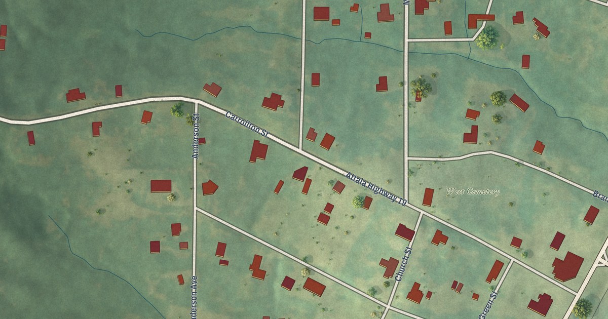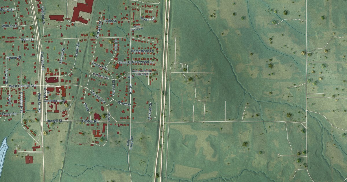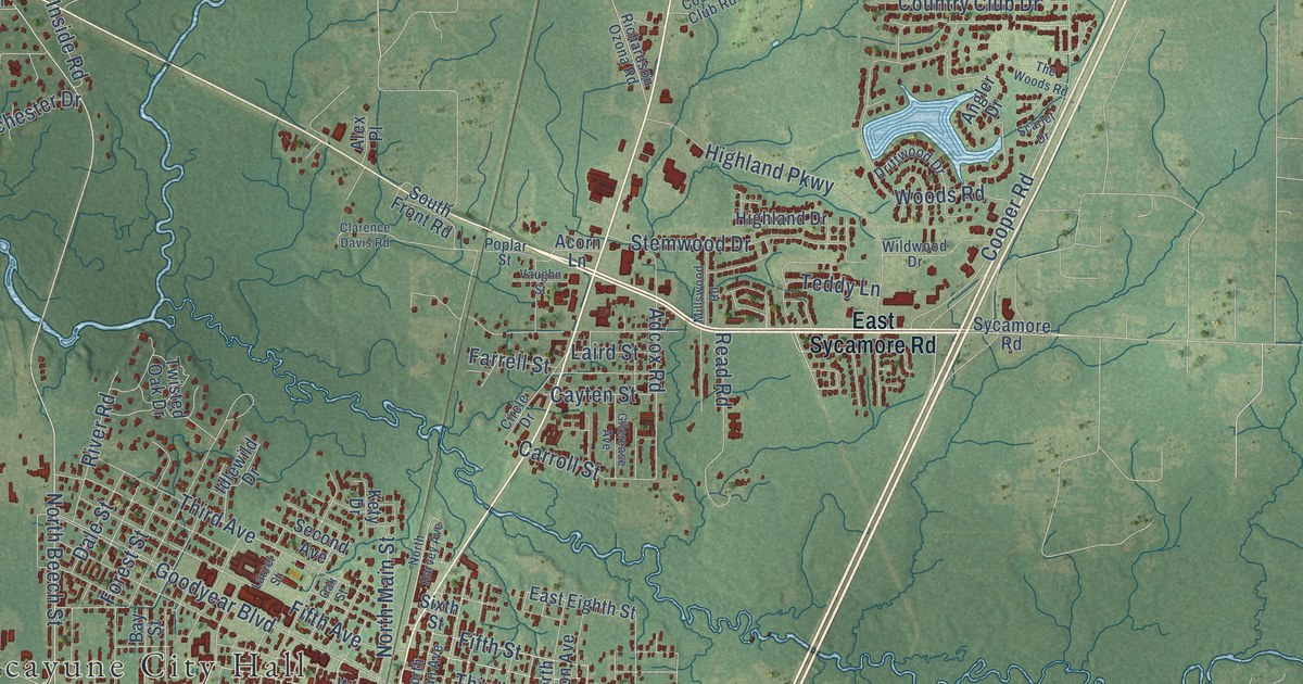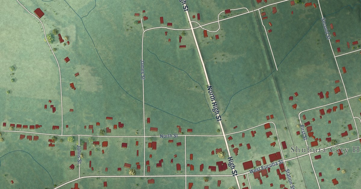
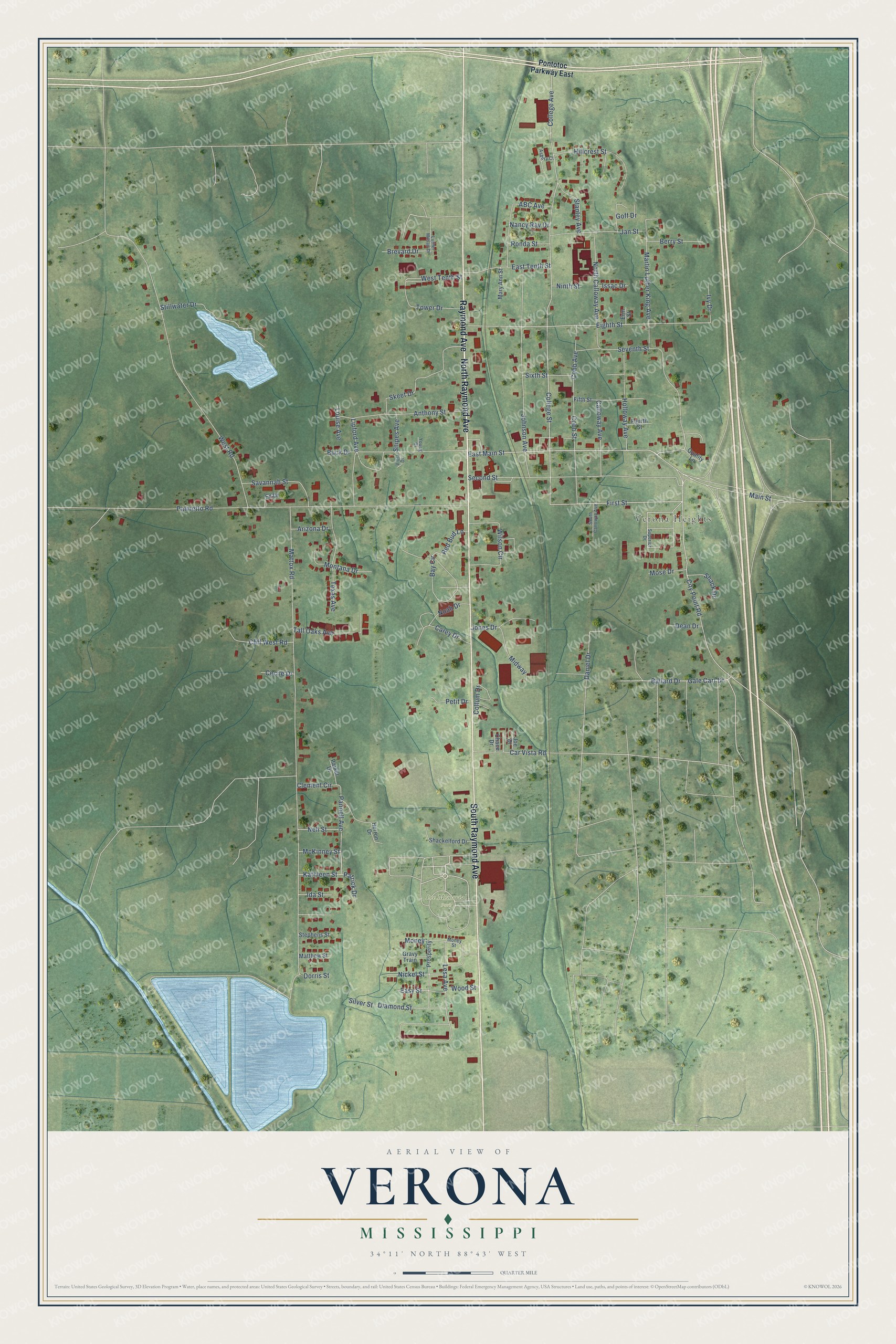
This beautifully detailed map of Verona, Mississippi was created in 2026 using aerial imagery combined with modern topographical, census, street and landmark data. It’s a one-of-a-kind view of Verona that combines accurate data with a vintage aesthetic. The map shows every building in its true location, many of the roads carry their names, and the shaded topographic relief shows the shape of the land.
Explore an aerial view of Verona, Mississippi
On the map you’ll find Verona Heights and Lee Memorial Park, along with North Raymond Avenue, Raymond Avenue, South Raymond Avenue, East Main Street, Main Street, First Street, College Avenue, College Street, Eighth Street, Lesa Avenue, and more. If you look closely you can even find your house accurately drawn in its correct location. Zoom in on the preview to look for yours.
Did you know this piece of Verona, Mississippi history?
The city took its name from Verona in Italy. During the Civil War it served as a Confederate supply depot and training camp. Union cavalry under Brigadier General Benjamin Grierson raided it on December 25, 1864.
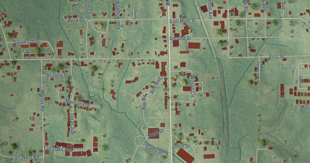
Take a closer look at the Verona map
Street and place names on the Verona, Mississippi map
These names are printed on the map of Verona, Mississippi.
Places: Verona Heights and Lee Memorial Park.
Streets and roads: North Raymond Avenue, Raymond Avenue, South Raymond Avenue, East Main Street, Main Street, First Street, College Avenue, College Street, Eighth Street, Lesa Avenue, Patrick Drive, City Point Road.
More street names, A to Z
ABC Avenue, Anthony Street, Arizona Drive, Asbury Court, Ballard Drive, Bay Circle, Berry Street, Brevard Drive, Buck Drive, Calloway Avenue, Carey Drive, Car Vista Road, Cecile Drive, Chace Drive, Clement Circle, Cliff West Road, Cobb Avenue, Cobb Street, Collum Drive, Daniel Drive, Dean Drive, Diamond Street, Dorris Street, East Tenth Street, Easy Street, Ed Drive, Erin Street, Fifth Street, Fourth Street, Gale Carr Drive, Goff Drive, Gravy Train, Herron Drive, Hillcrest Street, Holloway Avenue, Ida Street, Issac Drive, Ivy Drive, Jan Street, Joe Drive, Johnson Avenue, Jones Drive, Kathleen Street, Lipford Avenue, Louise Avenue, Luther Milsap Drive, Martin Luther King Avenue, Mary Ann Street, Matthew Street, Mattox Road, McKinney Street, Midway, Money, Money Street, Montana Drive, Mose Drive, Nancy Ray Drive, Nell Street, Nickel Street, Ninth Street, Noah Drive, North Calloway Avenue, Palmetto Road, Pannell Avenue, Parker Drive, Petit Drive, Pontotoc Parkway East, Prosperity, Quality Lane, Red Bud Lane, Ronda Street, Savannah Street, Second Street, Seventh Street, Shack Drive, Shackelford Drive, Silver Street, Sixth Street, Skeet Drive, Snipes Avenue, South Calloway Avenue, Stanley Avenue, Stephens Street, Stillwater Drive, Superior Drive, Tall Oaks Avenue, Texas Avenue, Tower Drive, Viola Drive, West Road, West Tenth Street, Wilson Circle, Wood Street, Young Drive.
See the Verona, Mississippi map on a wall
The Verona map as an 18 x 24 inch print in a black frame.

This beautifully detailed map of Verona makes an attractive addition to your office, library, or den, and it can even be used to teach children the geography and history of the area. It also makes a great gift for someone who left Verona and still calls it home. When you’re done exploring, click here to get your copy of the Verona map.