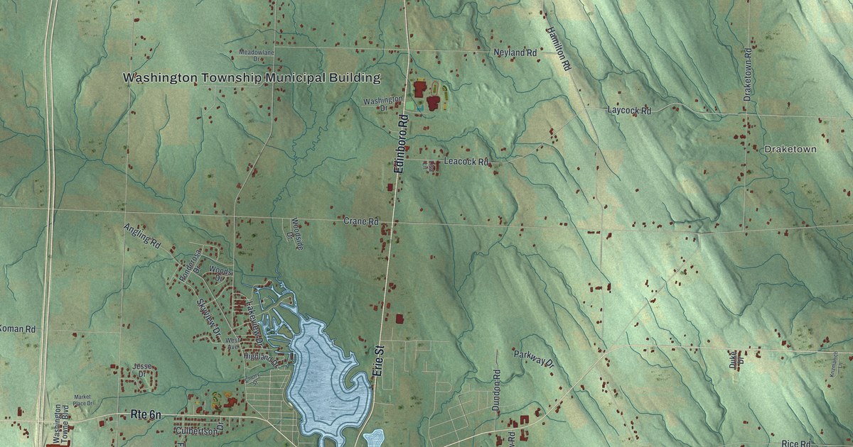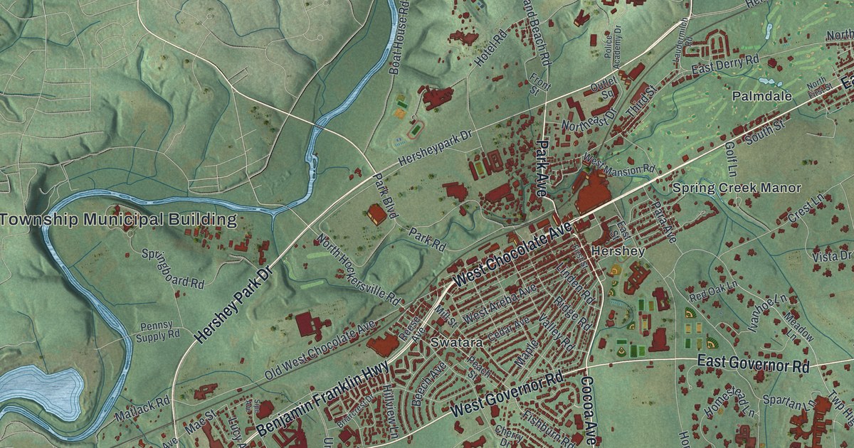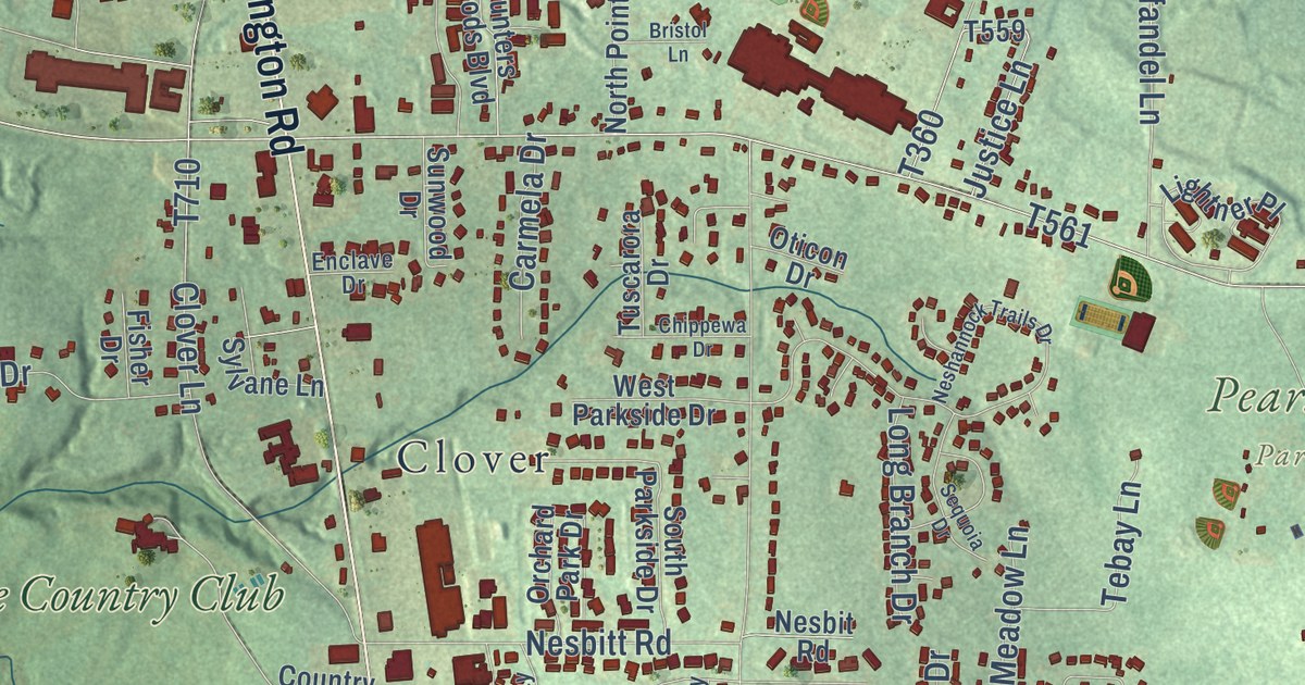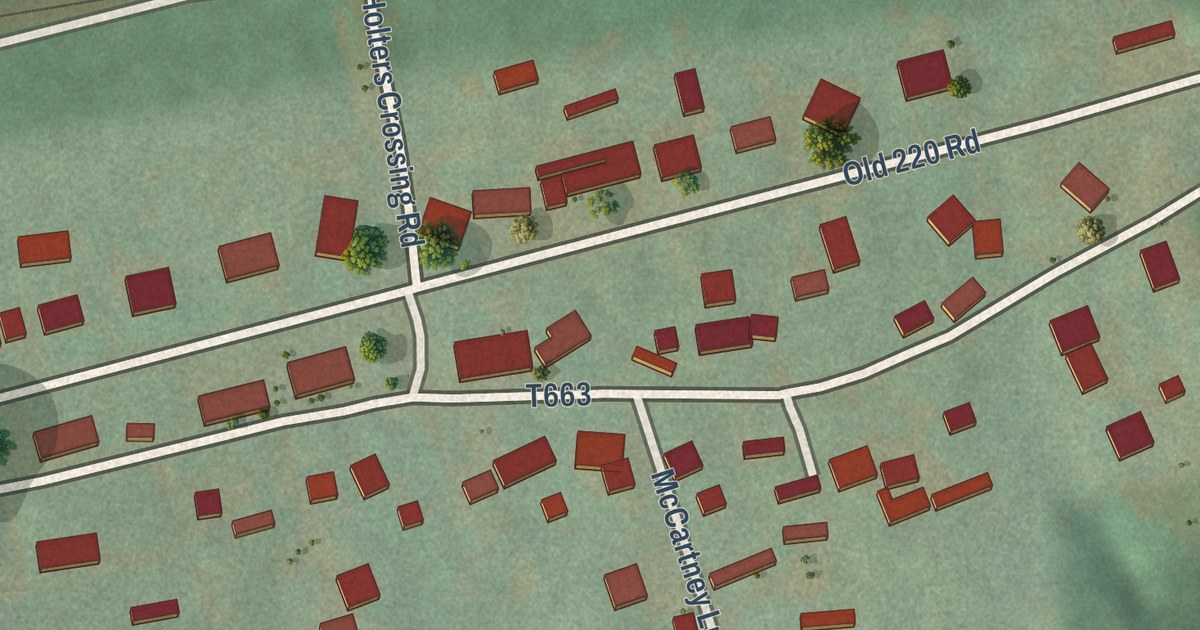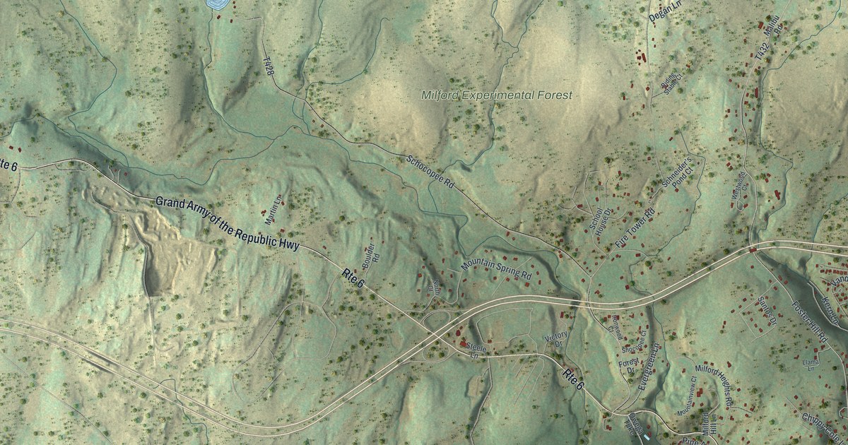
This beautifully detailed map of Milford Township, Pike County, Pennsylvania was created in 2026 using aerial imagery combined with modern topographical, census, street and landmark data. It’s a one-of-a-kind view of Milford Township that combines accurate data with a vintage aesthetic. The map shows every building in its true location, many of the roads carry their names, and the shaded topographic relief shows the shape of the land.
Explore an aerial view of Milford Township, Pike County, Pennsylvania
On the map you’ll find Milford Township Office, Cornelia and Florence Bridge Preserve, Delaware State Forest, Delaware Water Gap National Recreation Area, and Milford Experimental Forest, along with Grand Army of the Republic Highway, Foster Hill Road, Mill Street, Old Owego Turnpike, Deep Brook Road, Schocopee Road, and more. If you look closely you can even find your house accurately drawn in its correct location. Zoom in on the preview to look for yours.
Did you know this piece of Milford Township, Pike County, Pennsylvania history?
From the Pennsylvania Historical and Museum Commission: "The noted forester, conservationist and Governor of Pennsylvania two terms in 1923-27; 1931-35, had his ancestral home at Gray Towers, Milford. Born in Connecticut, 1865 of a long line of pioneers of this region. Died on October 4, 1946."
Take a closer look at the Milford Township, Pike County map
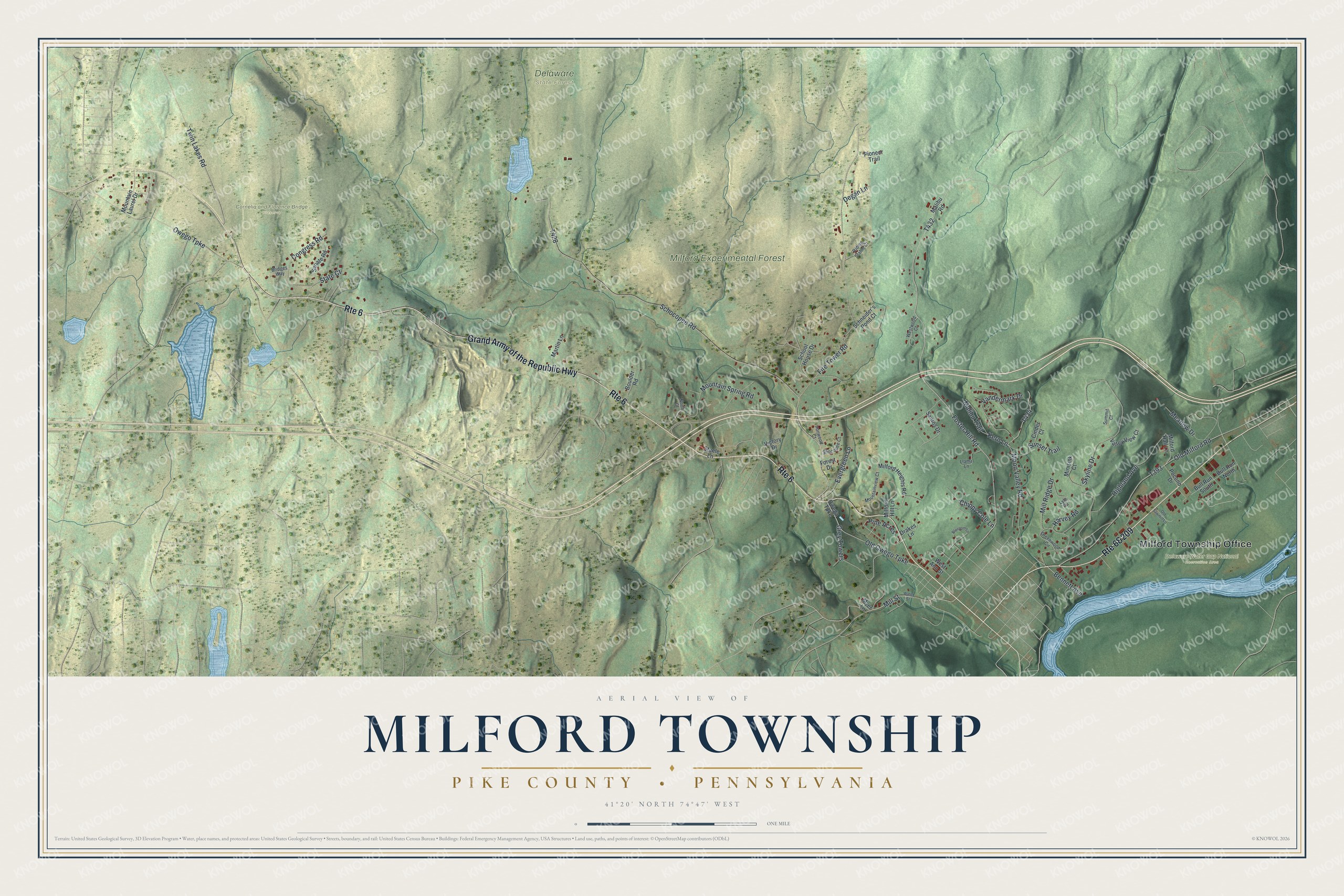
Street and place names on the Milford Township, Pike County, Pennsylvania map
These names are printed on the map of Milford Township, Pike County, Pennsylvania.
Places: Milford Township Office, Cornelia and Florence Bridge Preserve, Delaware State Forest, Delaware Water Gap National Recreation Area and Milford Experimental Forest.
Streets and roads: Route 6&209, Grand Army of the Republic Highway, Route 6, Foster Hill Road, Old Owego Turnpike, Mill Street, Schocopee Road, Fire Tower Road, Skyline Drive, Old Milford Road, Owego Turnpike, Mountain Spring Road.
More street names, A to Z
Bennett Avenue, Blossom Lane, Boulder Road, Bridges Way, Bull Run North, Bull Run South, Chippy Cole Lane, Cinder Court, Congress Road, Degan Lane, Drakes Lane, Evergreen Lane, Forest Drive, Greenwood Circle, Grey Towers, Harvey Road, Highland Avenue, Ironwood Court, Kern Lane, Llama Lane, Lyle Road, Malibu Road, Malibu Trail, Martin Lane, Meadow Drive, Milford Hall Lane, Milford Heights Road, Milford Hill Lane, Mill Ridge Drive, Minisink Court, Moon Valley Road, Mountain Laurel Drive, Mountainview Court, Myer Lane, North Court, Old Sawmill Lane, Owega Turnpike, Pine Acres, Pioneer Trail, Pocono Drive, Riding Stable Court, Santos Drive, Schneider's Pond Court, School House Drive, Senate Road, Shocopee Court, State Court, Steele Lane, Summit Court, Sunset Trail, Twin Lakes Road, Valley View Court, Vandermark Drive, Victory Drive, Water Street, West Ann Street, Westwood Court.
See the Milford Township, Pike County, Pennsylvania map on a wall
The Milford Township, Pike County map as an 18 x 24 inch print in a black frame.

This beautifully detailed map of Milford, Pike County makes an attractive addition to your office, library, or den, and it can even be used to teach children the geography and history of the area. It also makes a great gift for anyone with Milford Township roots. When you’re done exploring, click here to get your copy of the Milford, Pike County map.