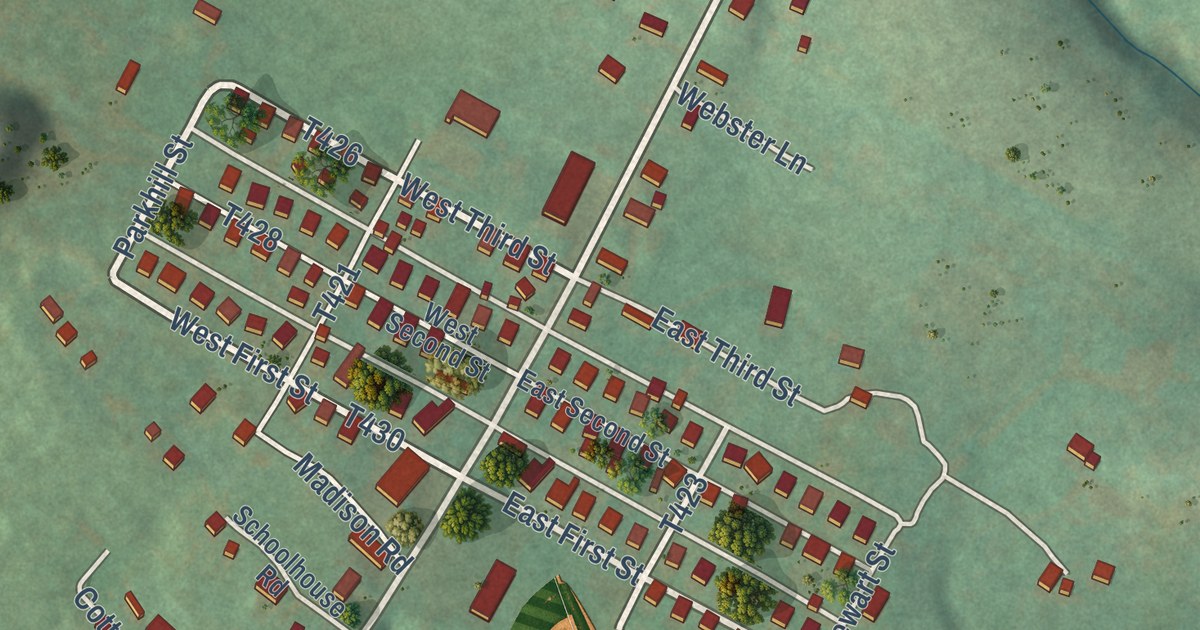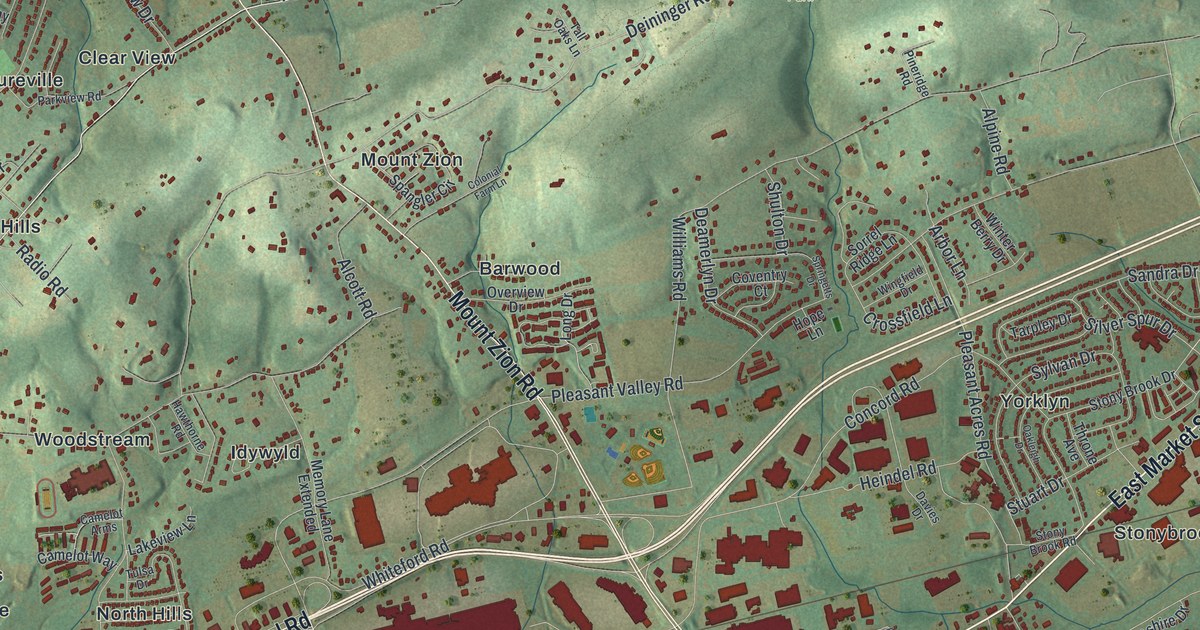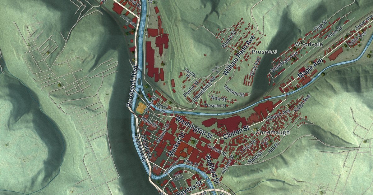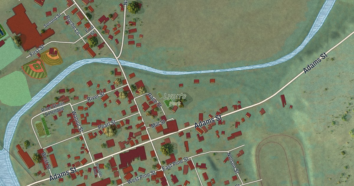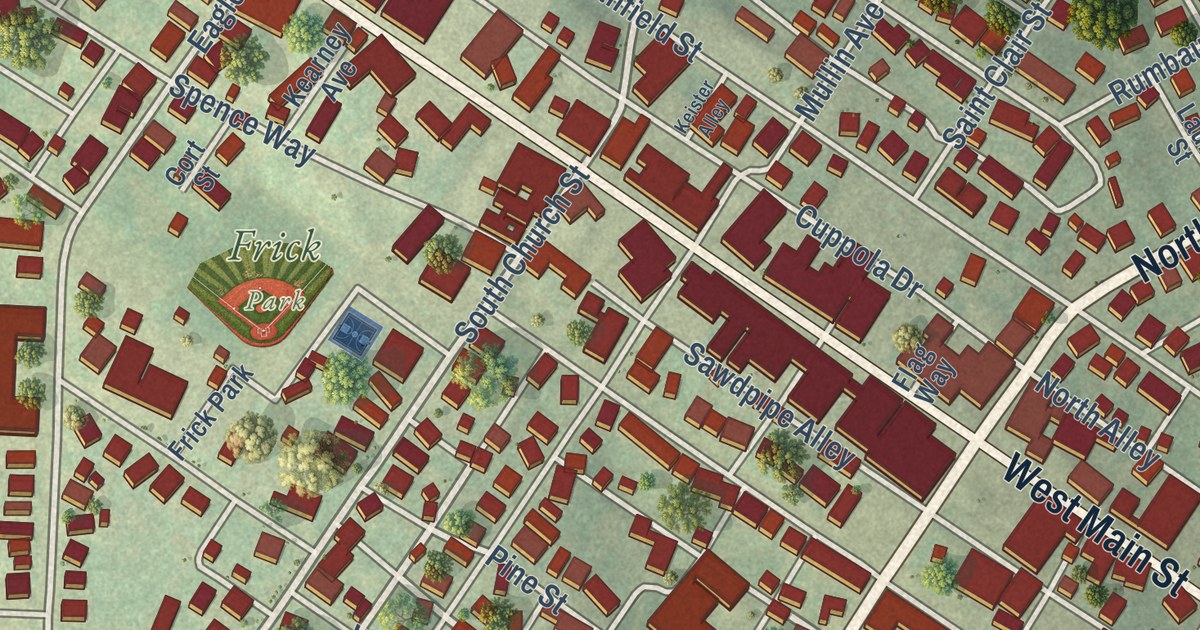
This beautifully detailed map of Mount Pleasant Borough, Westmoreland County, Pennsylvania was created in 2026 using aerial imagery combined with modern topographical, census, street and landmark data. It’s a one-of-a-kind view of Mount Pleasant Borough that combines accurate data with a vintage aesthetic. The map shows every building in its true location, many of the roads carry their names, and the shaded topographic relief shows the shape of the land.
Explore an aerial view of Mount Pleasant Borough, Westmoreland County, Pennsylvania
On the map you’ll find Mount Pleasant Cemetery and Willow Park, along with Ramsay Terrace, South Diamond Street, North Diamond Street, Braddock Road Avenue, East Main Street, West Main Street, Morewood Street, Depot Street, South Church Street, North Depot Street, and more. If you look closely you can even find your house accurately drawn in its correct location. Zoom in on the preview to look for yours.
Did you know this piece of Mount Pleasant Borough, Westmoreland County, Pennsylvania history?
From the 1882 History of the County of Westmoreland, Pennsylvania: "Of the oldest citizens of the place he recalled the names of Michael Smith, Alexander McCready, Charles Fulwood, Esq."
Take a closer look at the Mount Pleasant Borough, Westmoreland County map
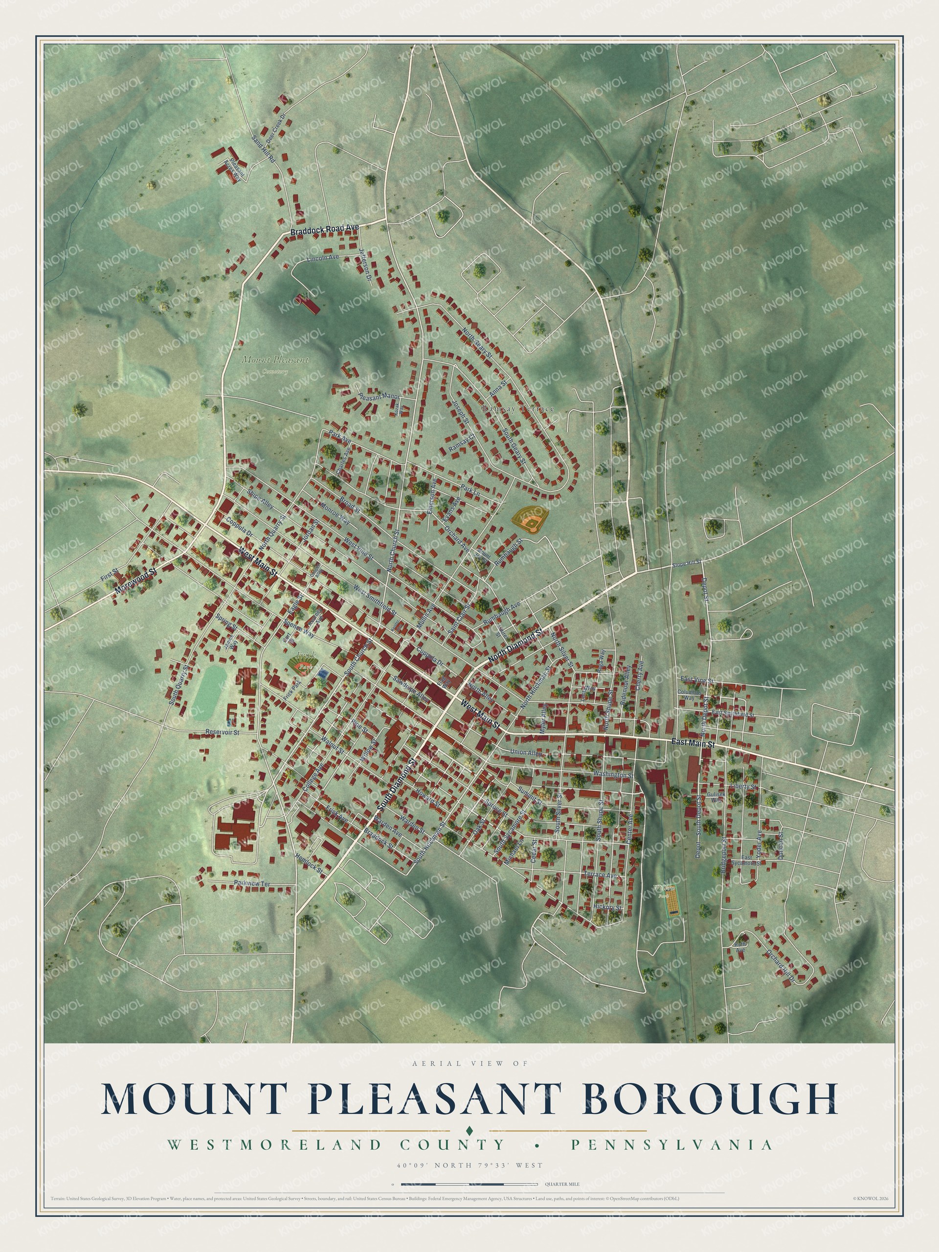
Street and place names on the Mount Pleasant Borough, Westmoreland County, Pennsylvania map
These names are printed on the map of Mount Pleasant Borough, Westmoreland County, Pennsylvania.
Places: Mount Pleasant Cemetery, Frick Park, Willow Park and Ramsay Terrace.
Streets and roads: South Diamond Street, North Diamond Street, Braddock Road Avenue, East Main Street, West Main Street, Morewood Street, Depot Street, South Church Street, North Depot Street, North Church Street, South Hitchman Street, South Depot Street.
More street names, A to Z
Anna Street, Braddock Street, Bridgeport Street, Broad Street, Cedar Street, Center Avenue, Charles Avenue, Cherry Avenue, College Avenue, Columbus Way, Cooper Alley, Coppula Drive, Cort Street, Cuppola Drive, Deer Creek Drive, Depot, Duncan Street, Eagle Street, East Smithfield Street, East Sycamore Street, East Vine Street, Emerson Avenue, Evans Avenue, First Street, Flag Way, Frick Avenue, Gulisek Way, Hemlock Street, Hickory Street, Howard Street, James Way, Jefferson Drive, Jordan Street, Joseph Street, Kearney Avenue, Keister Alley, Kozak Way, Laurel Street, Lentz Way, Liberty Street, Lincoln Avenue, Michael Lane, Monroe Way, Mount Joy Street, Mullin Avenue, Myler Alley, North Alley, North Geary Street, North Hitchman Street, North Quarry Street, North Shupe Street, North Silver Street, Oak Street, Orchard Avenue, Orchard Hill Drive, Park Avenue, Park Lane, Parkview Terrace, Pine Street, Pleasant Acres Way, Pleasant Manor, Ramsay Court, Rega Way, Reservoir Street, Ridenour Alley, Rumbaugh Avenue, Rumbaugh Street, Ruth Avenue, Saint Clair Street, Sand Hill Road, Sawdpipe Alley, Shipe Alley, Slope Hill Street, South Geary Street, South Quarry Street, South Shupe Street, South Silver Street, South Sycamore Street, Spence Way, Spring Street, Spruce Street, Summit Street, Terrace Avenue, Union Alley, Walnut Street, Warden Avenue, Warden Street, Washington Street, West Smithfield Street, West Vine Street, Willow Street, Yoder Avenue.
See the Mount Pleasant Borough, Westmoreland County, Pennsylvania map on a wall
The Mount Pleasant Borough, Westmoreland County map as an 18 x 24 inch print in a black frame.

This beautifully detailed map of Borough of Mount Pleasant, Westmoreland County makes an attractive addition to your office, library, or den, and it can even be used to teach children the geography and history of the area. It also makes a great gift for anyone with Mount Pleasant Borough roots. When you’re done exploring, click here to get your copy of the Borough of Mount Pleasant, Westmoreland County map.