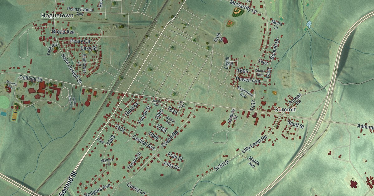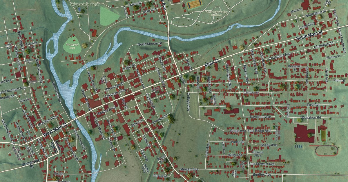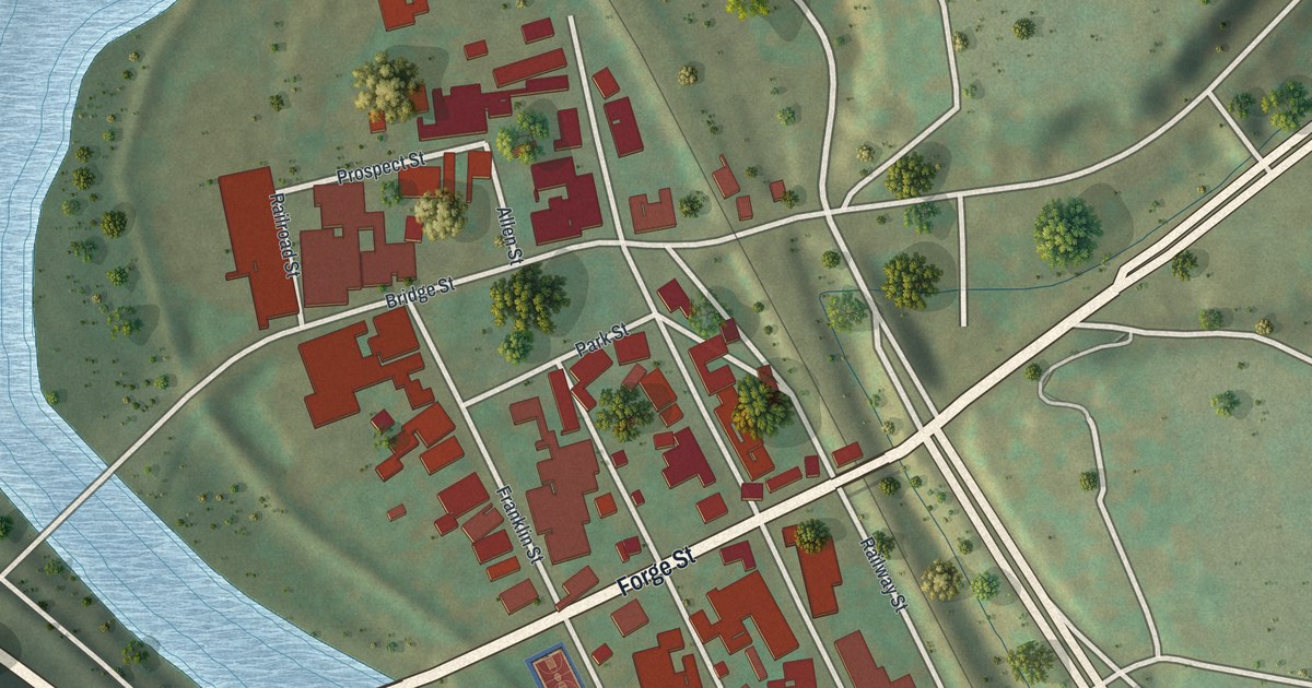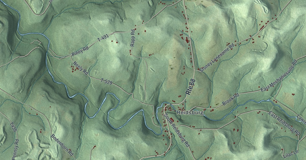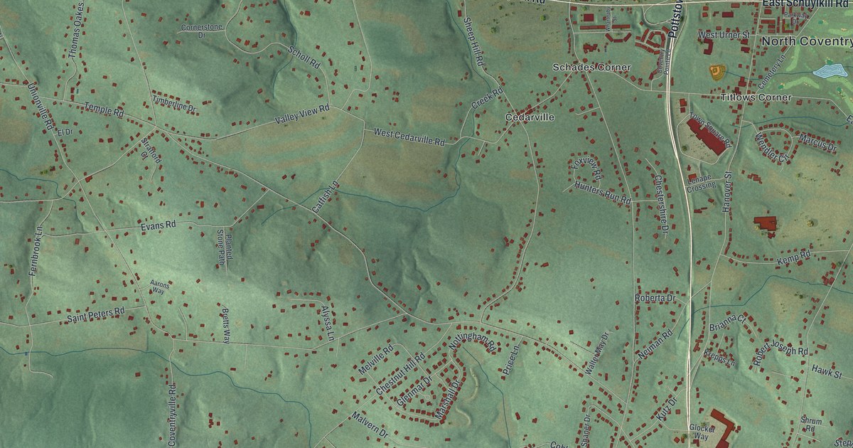
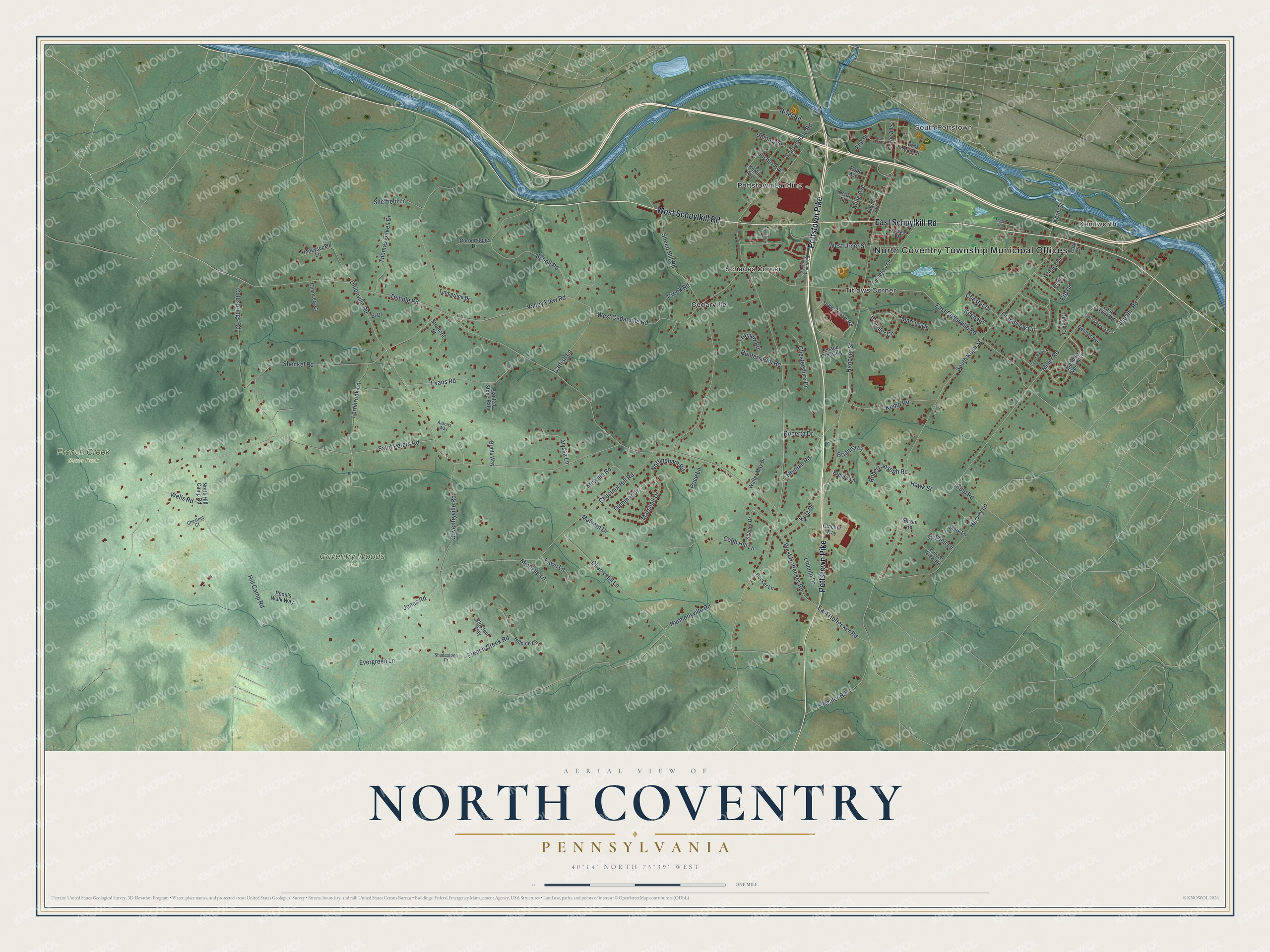
This beautifully detailed map of North Coventry, Pennsylvania was created in 2026 using aerial imagery combined with modern topographical, census, street and landmark data. It's a modern aerial view of North Coventry in Chester County, Pennsylvania, that combines modern data with a vintage aesthetic. The roads feature printed names, and if you look closely you can find your exact house accurately shown in its correct location.
Explore an aerial view of North Coventry, Pennsylvania
On this map you'll find North Coventry Township Municipal Offices, Kenilworth, South Pottstown, Coventry Woods Park, French Creek State Park, Cedarville, Pottstown Landing, Schades Corner, Titlows Corner, Pottstown Pike, West Schuylkill Road, East Schuylkill Road, and more. Each red shape is a building, so zoom in on the preview and look for yours.
Here is a piece of North Coventry history, in the words of the record. The record at data.pa.gov puts it this way: "The home of Mounce and Ingeborg Jones, built 1716 and the oldest house in the county, stands at the opposite end of the river bridge."
North Coventry is a place in Chester County. The Census Bureau counted 8,441 people here in 2020.
Take a closer look at the North Coventry map
Names on this map
These names are printed on this map.
Places: North Coventry Township Municipal Offices, Kenilworth, South Pottstown, Coventry Woods Park, French Creek State Park, Cedarville, Pottstown Landing, Schades Corner and Titlows Corner.
Streets and roads: Pottstown Pike, West Schuylkill Road, East Schuylkill Road, Temple Road, Saint Peters Road, Laurelwood Road, South Keim Street, Hanover Street, Shenkel Road, Chestnut Hill Road, West Cedarville Road, Sheep Hill Road.
More street names, A to Z
Aarons Way, Alyssa Lane, Bealer Road, Becker Lane, Blossom Way, Breeze View Drive, Bretts Way, Brianna Court, Brown Street, Catfish Lane, Cedar Ridge Drive, Cemetery Lane, Chancery Court, Cherry Hill Lane, Chester Drive, Chestershire Drive, Chestnut Court, Cobb Hill Lane, Coldsprings Road, Cornerstone Drive, Coventry Pointe Lane, Coventryville Road, Coyne Alley, Coyne Avenue, Creek Road, Delmar Avenue, Dimity Court, East Cedarville Road, East Hoffecker Road, East Keller Road, East Main Street, El Drive, Elm Street, Erb Drive, Evans Road, Evergreen Lane, Fawn Lane, Fernbrook Lane, Fisher Avenue, Foxview Road, French Creek Road, Glenmar Drive, Glocker Way, Grandview Circle, Harmonyville Road, Harvey Lane, Hawk Street, Hill Camp Road, Hillside Lane, Honeysuckle Lane, Hunters Run Road, Jones Road, Keen Road, Keim Street, Kemp Road, Kerlin Avenue, Kline Avenue, Krepps Lane, Kulp Road, Kutz Drive, Lenape Crossing, Lincoln Drive, Malvern Drive, Marcus Drive, Mark Lane, Marshall Drive, Maurer Road, Meadowbrook Road, Meadow Wood Avenue, Melville Road, Michelle Lane, Miller Road, Neiman Road, North Hill Camp Road, Nottingham Road, Park Drive, Parkway Drive, Pearl Street, Penn's Walk Way, Planted Stone Path, Price Lane, River Road, Roberta Drive, Robert Joseph Road, Root Avenue, Scholl Road, Shadestone Drive, Shaner Drive, Sheffield Lane, Shrum Road, Stephen Lane, Stratford Court, Thomas Oakes Drive, Timberline Drive, Town Square Road, Union Avenue, Unionville Road, Valley View Road, Vaughn Road, Walter May Drive, Wells Road, Wendler Circle, West Hoffecker Road, West Main Street, West Urner Street, Whartnaby Street, Worth Boulevard.
Created by KNOWOL in 2026. The buildings are small red shapes, the roads carry their printed names, and shaded relief shows the shape of the land. The title panel reads "AERIAL VIEW OF NORTH COVENTRY PENNSYLVANIA" with 4, 0, °, 1, 4, ', , N, O, R, T, H, , 7, 5, °, 3, 9, ', , W, E, S, T.
It suits a den, a classroom or a front hall, and it makes a gift for anyone with North Coventry roots. Open the preview and find the block you know. See sizes and frames for the North Coventry map.