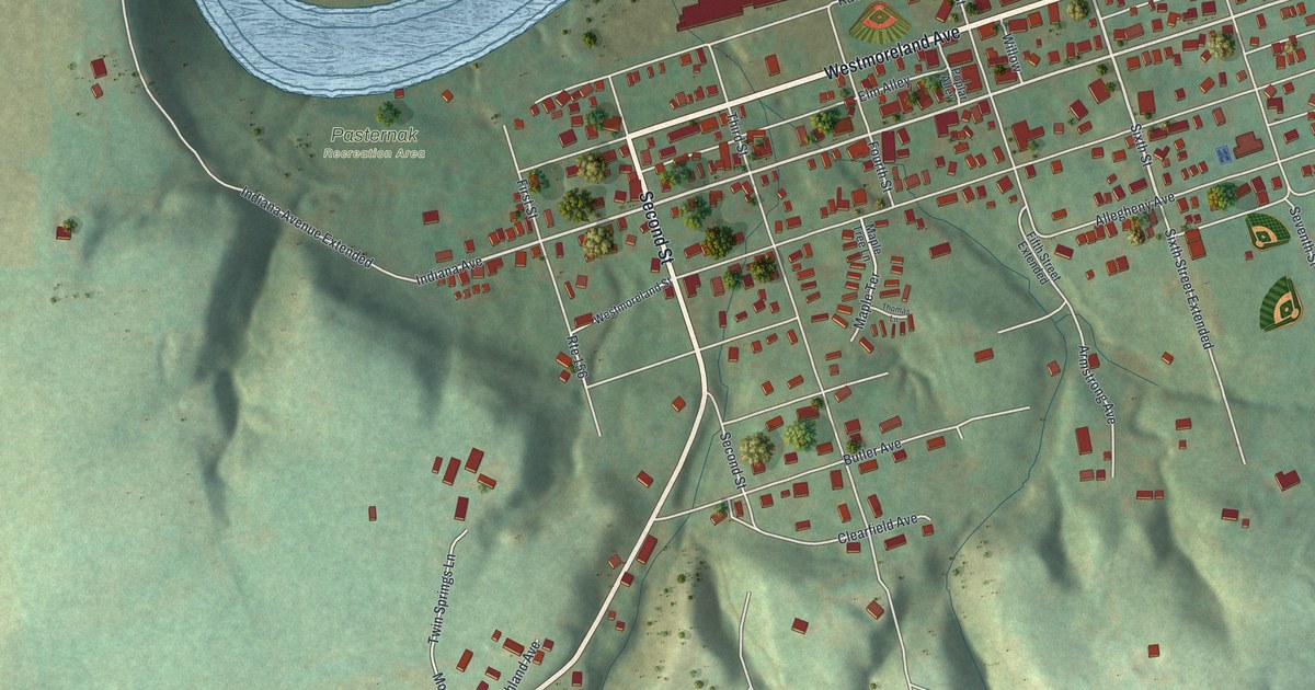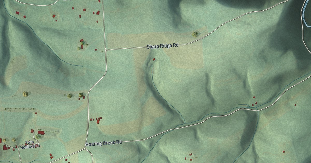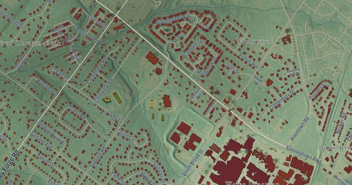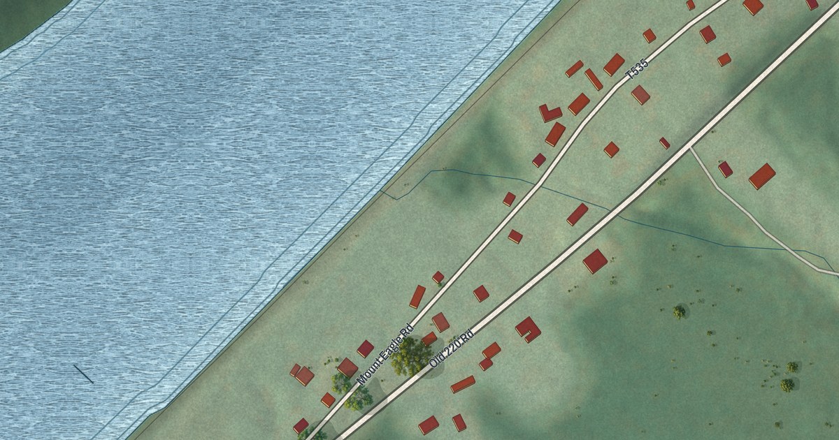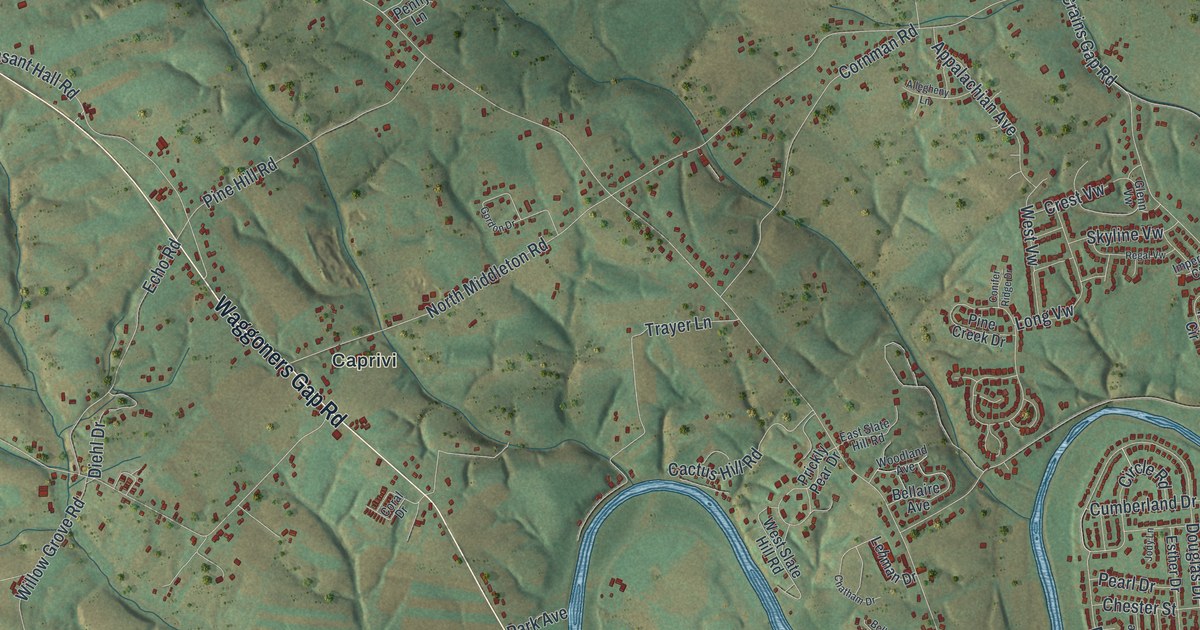
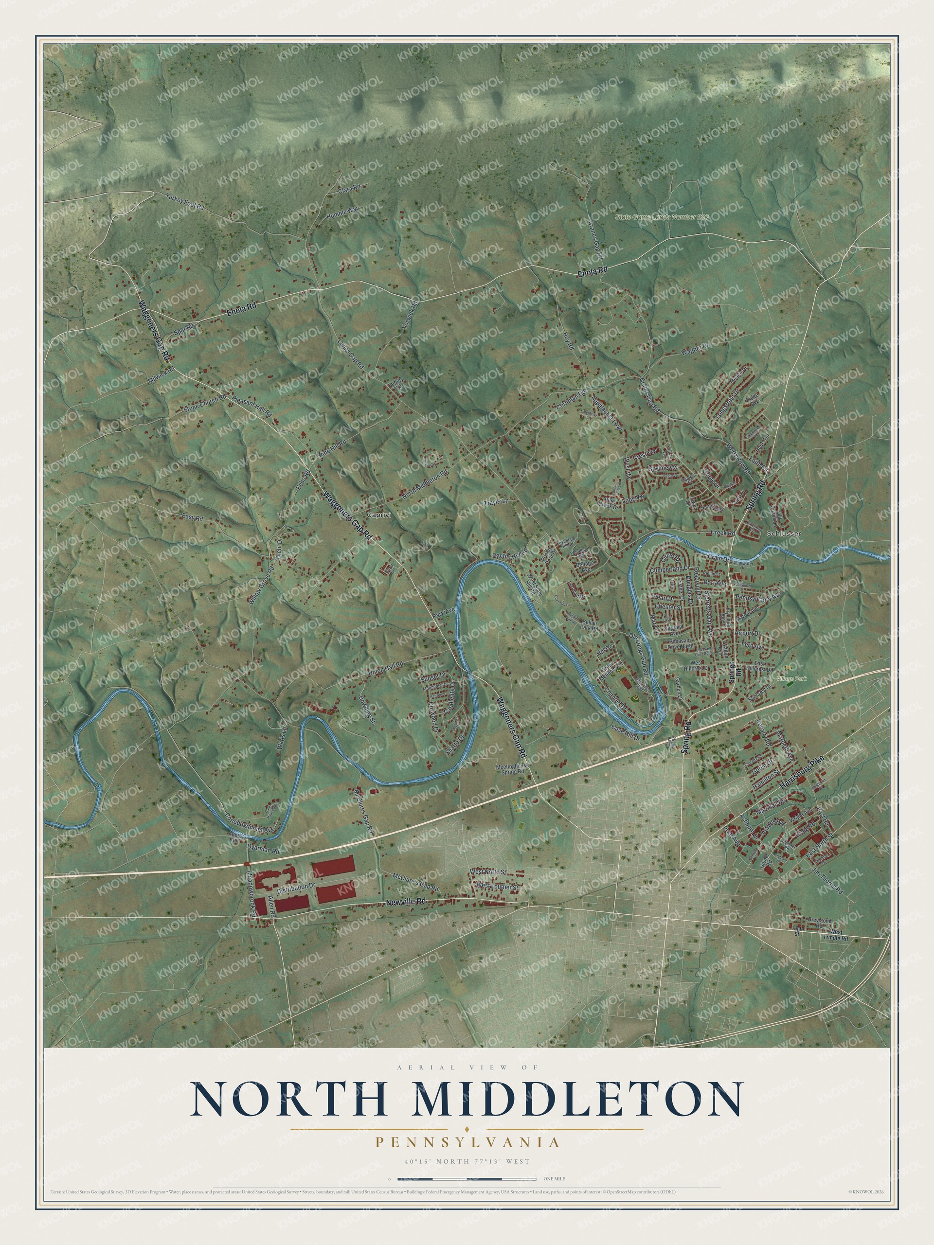
This beautifully detailed map of North Middleton, Pennsylvania was created in 2026 using aerial imagery combined with modern topographical, census, street and landmark data. It’s a one-of-a-kind view of North Middleton that combines accurate data with a vintage aesthetic. The map shows every building in its true location, many of the roads carry their names, and the shaded topographic relief shows the shape of the land.
Explore an aerial view of North Middleton, Pennsylvania
On the map you’ll find Schlusser, State Game Lands Number 230, Village Park, and Caprivi, along with Enola Road, Waggoners Gap Road, Spring Road, Newville Road, Harrisburg Pike, Ashburn Drive, Forbes Avenue, Crains Gap Road, and more. If you look closely you can even find your house accurately drawn in its correct location. Zoom in on the preview to look for yours.
Did you know this piece of North Middleton, Pennsylvania history?
Locals asked for a bridge over the Conodoguinet Creek at Cave Mill in 1831 and 1832. Samuel Alexander built a wooden bridge there, 180 feet long, and finished it on August 11, 1834. It served until 1878. A longer wooden bridge of 214 feet then replaced it. That’s from the 1905 Bridges of Cumberland County.
Take a closer look at the North Middleton map
Street and place names on the North Middleton, Pennsylvania map
These names are printed on the map of North Middleton, Pennsylvania.
Places: Schlusser, State Game Lands Number 230, Village Park and Caprivi.
Streets and roads: Enola Road, Waggoners Gap Road, Spring Road, Newville Road, Harrisburg Pike, Ashburn Drive, Forbes Avenue, Crains Gap Road, Longs Gap Road, Cranes Gap Road, McClures Gap Road, North Middleton Road.
More street names, A to Z
Airport Drive, Allegheny Lane, Allen Road, Alters Road, Amy Drive, Appalachian Avenue, Bellaire Avenue, Bellaire Park Road, Bellair Park Road, Cactus Hill Road, Candlelite Drive, Cavalry Road, Cavalry Street, Cave Hill Drive, Cave Hill Road, Channel Drive, Chatham Drive, Chester Street, Circle Road, Clara Road, Clearwater Drive, Club House Road, Conifer Ridge Drive, Conodogquinet Avenue, Coral Drive, Cornman Road, Craig Road, Crain Drive, Creek Road, Crest Vw, Cumberland Drive, Darr Avenue, Diehl Drive, Distribution Drive, Dorwood Drive, Douglas Drive, Downing Street, Dyarman Road, East Hillcrest Drive, East North Street, East Slate Hill Road, Easy Road, Echo Road, Esther Drive, Faith Circle, Fern Avenue, Fletcher Road, Fry Loop Avenue, Garden Drive, Garrison Lane, Gibner Road, Glenn Vw, Gobin Drive, Gordon Drive, Green Meadows Drive, Greystone Road, Hamilton Street, High Street, Hill Drive, Hope Terrace, Hoy Road, Humble Way, Imperial Court, Jane Lane, Jim Thorpe Road, Jody Lane, Kenwood, Kingswood Terrace, Lamplite Drive, Lehman Drive, Longstreet Drive, Long Vw, Marbeth Avenue, Marilyn Drive, Marion Avenue, Marshall Road, Mary Lane, McClure's Gap Road, Meade Drive, Meadowbrook Road, Meetinghouse Spring Road, Milwick Road, Moongale Drive, Northview Drive, Old Coach Lane, Old Longs Gap, Old Longs Gap Road, Oriole Drive, Park Avenue, Partridge Circle, Pearl Drive, Pennsylvania Avenue, Penny Lane, Pheasant Drive North, Pheasant Drive South, Pine Creek Drive, Pine Hill Road, Pleasant Hall Road, Post Road, Pratt Avenue, Prickly Pear Drive, Regal Vw, Rellim Street, Reservoir Drive, Ridge Avenue, Shatto Drive, Skyline Vw, Springs Road, Spur Road, Sterretts Gap Avenue, Stone Church Road, Sumner Road, Suncrest Drive, Sunset Drive, Thomas Drive, Tower Circle, Trayer Lane, Turkey Foot Road, Union Hall Road, Valleyview Drive, Virginia Avenue, Wagner Drive, Walton Avenue, Watts Lane, Wertz Run Road, West Hillcrest Drive, West Louther Street, West North Street, Westpoint Drive, West Slate Hill Road, West Trindle Road, West Vw, Willow Grove Road, Woodland Avenue, Wright Avenue, Yorwick Road.
See the North Middleton, Pennsylvania map on a wall
The North Middleton map as an 18 x 24 inch print in a black frame.

This beautifully detailed map of North Middleton makes an attractive addition to your office, library, or den, and it can even be used to teach children the geography and history of the area. It also makes a great gift for anyone with North Middleton roots. When you’re done exploring, click here to get your copy of the North Middleton map.