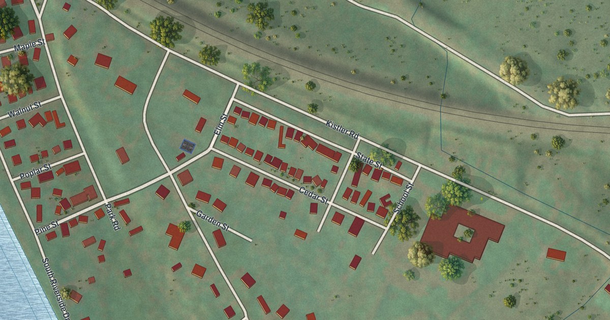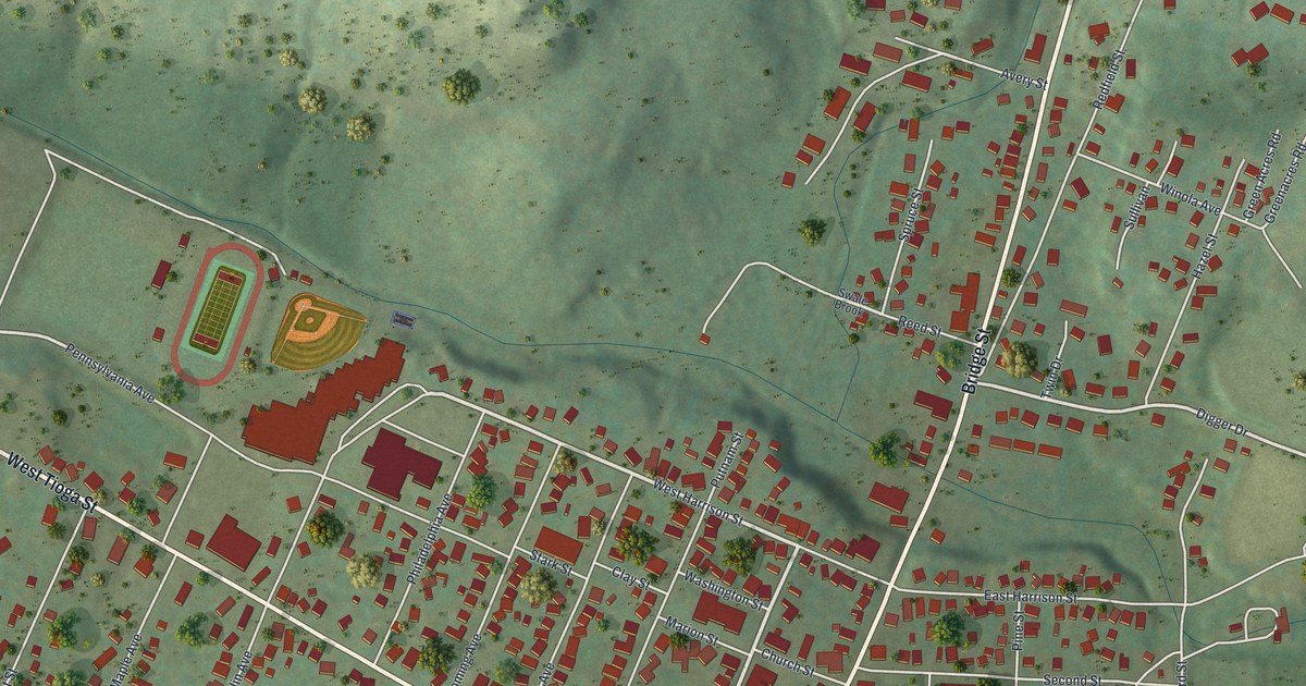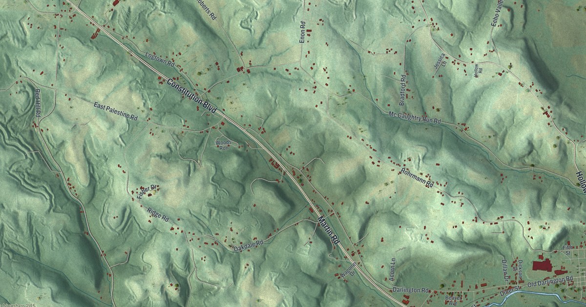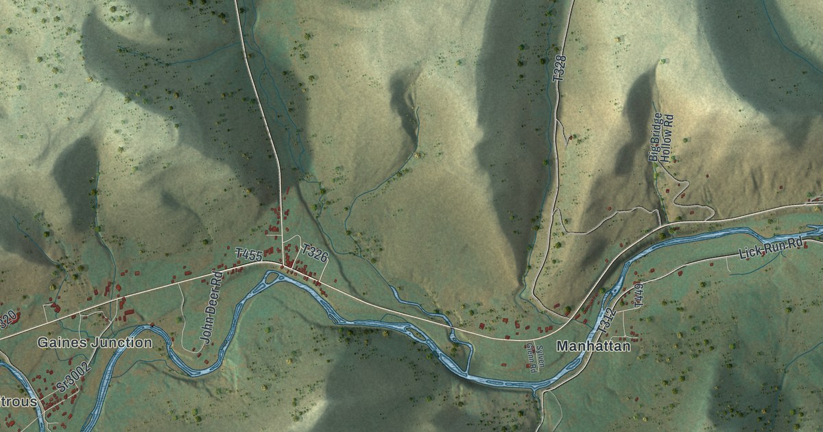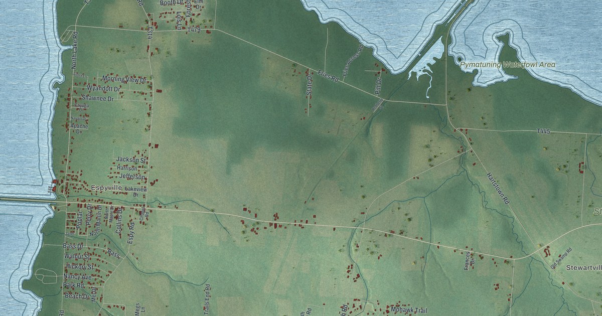
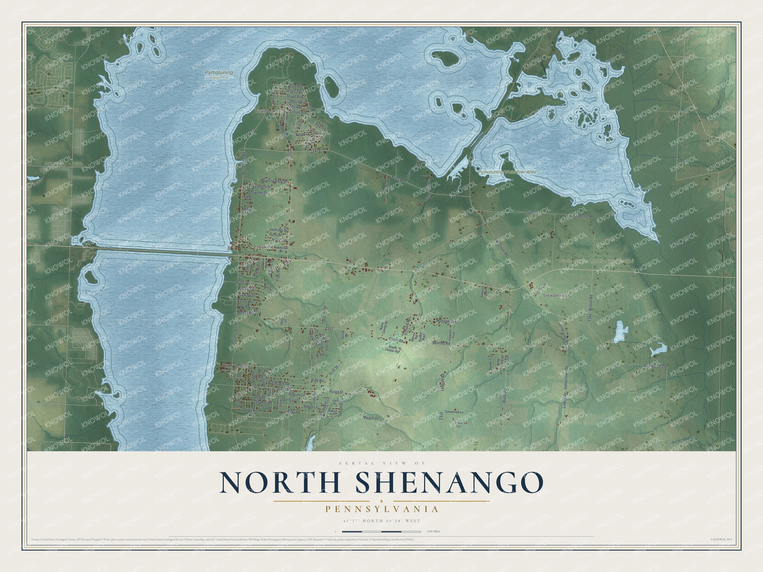
This beautifully detailed map of North Shenango, Pennsylvania was created in 2026 using aerial imagery combined with modern topographical, census, street and landmark data. It's a modern aerial view of North Shenango in Crawford County, Pennsylvania, that combines modern data with a vintage aesthetic. The roads feature printed names, and if you look closely you can find your exact house accurately shown in its correct location.
Explore an aerial view of North Shenango, Pennsylvania
On this map you'll find Stewartville, Espyville, Tuttle Lake, Pymatuning State Park, Pymatuning Waterfowl Area, State Game Lands Number 214, T332, Huron Street, Plymouth Lane, Hartstown Road, North Lake Road, Linn Road, and more. Each red shape is a building, so zoom in on the preview and look for yours.
North Shenango is a place in Crawford County. The Census Bureau counted 1,272 people here in 2020. The map prints the town name in its title panel, with the coordinates below it.
Take a closer look at the North Shenango map
Names on this map
These names are printed on this map.
Places: Stewartville, Espyville, Tuttle Lake, Pymatuning State Park, Pymatuning Waterfowl Area and State Game Lands Number 214.
Streets and roads: Huron Street, Plymouth Lane, Hartstown Road, North Lake Road, Linn Road, Fries Road, Church Road, Leach Road, Bentley Road, South Lake Road, Crom Road, Bullis Road.
More street names, A to Z
Alden Lane, Apache Drive, Ash Drive, Avon Drive, Ball Road, Bambi Trail, Bank Street, Bass, Bass Drive, Beach Drive, Booth Drive, Cabot Lane, Canoe Trail, Cayuga Drive, Cedar Road, Chapel Road, Circle Drive, Clover Lane, Collins Drive, Colonial Lane, Delaware Lane, Duff Drive, Elm Drive, Erin Avenue, Espy Road, First Street, Florence Drive, Forest Drive, Frances Drive, Fries Access Road, George Street, Harrison, Hazel Avenue, Hickory Street, Hollick Street, Iroquois Trail, Jackson Street, Janet, Jefferson, Jessica Avenue, Lakeview Drive, Lebhaft Road, Libra Lane, Lillian Avenue, Linda Avenue, Linesville - Jamestown Road, Linesville Road, Little Buck Trail, Lois Lane, Louise Street, Megs Lane, Mel Drive, Mohawk Trail, Montgomery Drive, Morning View Drive, Mullen Drive, Nancy Avenue, Navajo Drive, North Center Road, North Maple Drive, North Martin Drive, Oak Street, Old Swamp Road, Park Road, Peach Drive, Perch Drive, Perry Drive, Pilgrim Lane, Pine Road, Pitt Drive, Poplar, Quaker Lane, Quick Road, Quincy Lane, Raleigh Lane, Redberry Street, Reigleman Drive, Roger Drive, Ross Lane, Savannah Lane, Shaker Road, Shawnee Drive, Sherri Avenue, Sioux Lane, South Center Road, State Drive, Stillwater Trail, Straw Drive, Stuart Avenue, Sylvia Drive, Teakettle Road, Third Street, Trails End Road, Walnut Street, Warren Drive, Wilson Road, Woodland Road, Wyandott Drive.
Created by KNOWOL in 2026. The buildings are small red shapes, the roads carry their printed names, and shaded relief shows the shape of the land. The title panel reads "AERIAL VIEW OF NORTH SHENANGO PENNSYLVANIA" with 4, 1, °, 3, 7, ', , N, O, R, T, H, , 8, 0, °, 2, 8, ', , W, E, S, T.
It suits a den, a classroom or a front hall, and it makes a gift for anyone with North Shenango roots. Open the preview and find the block you know. See sizes and frames for the North Shenango map.