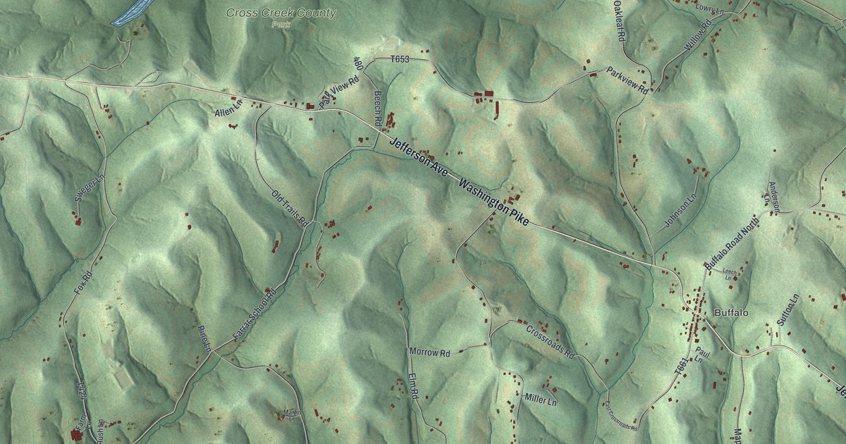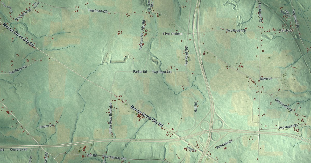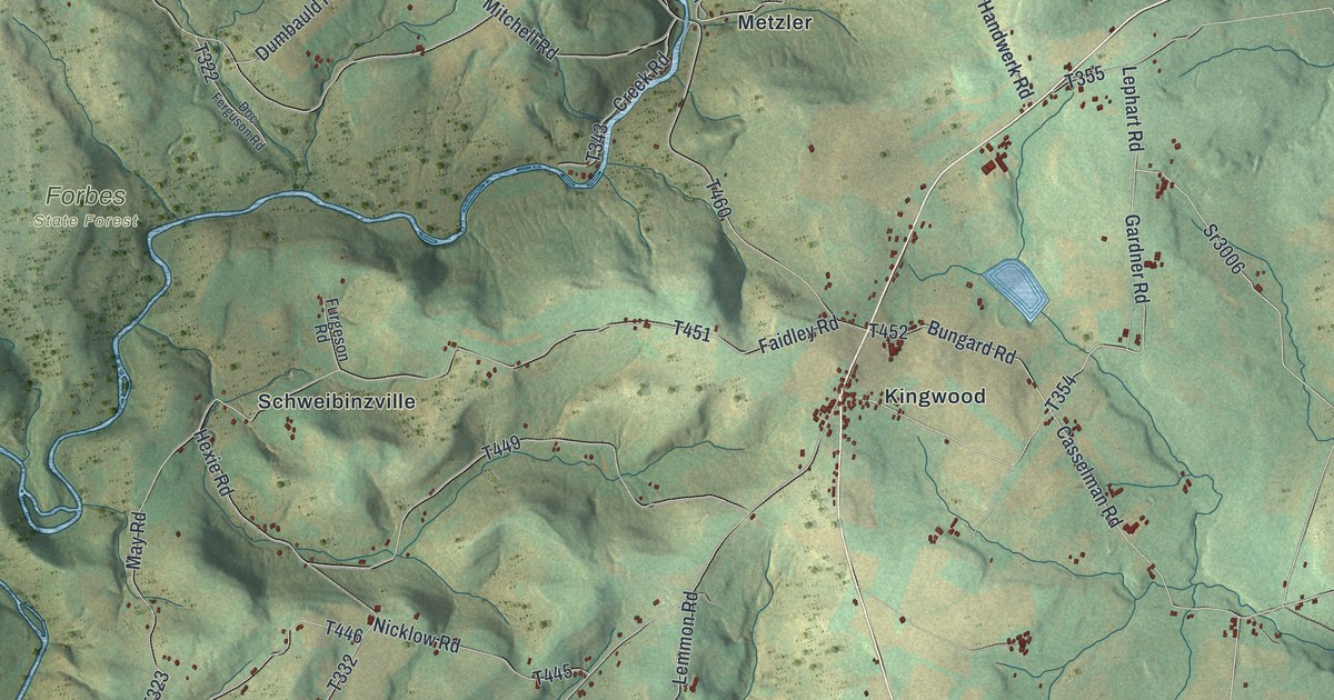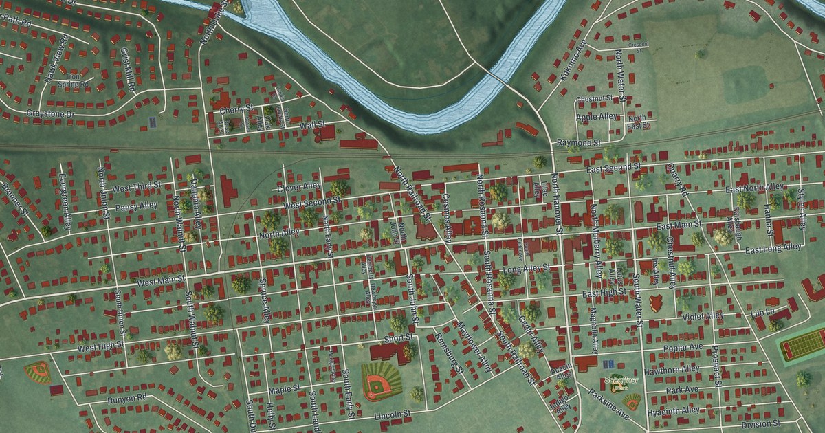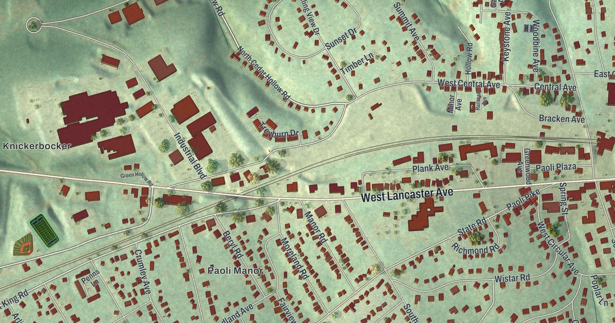
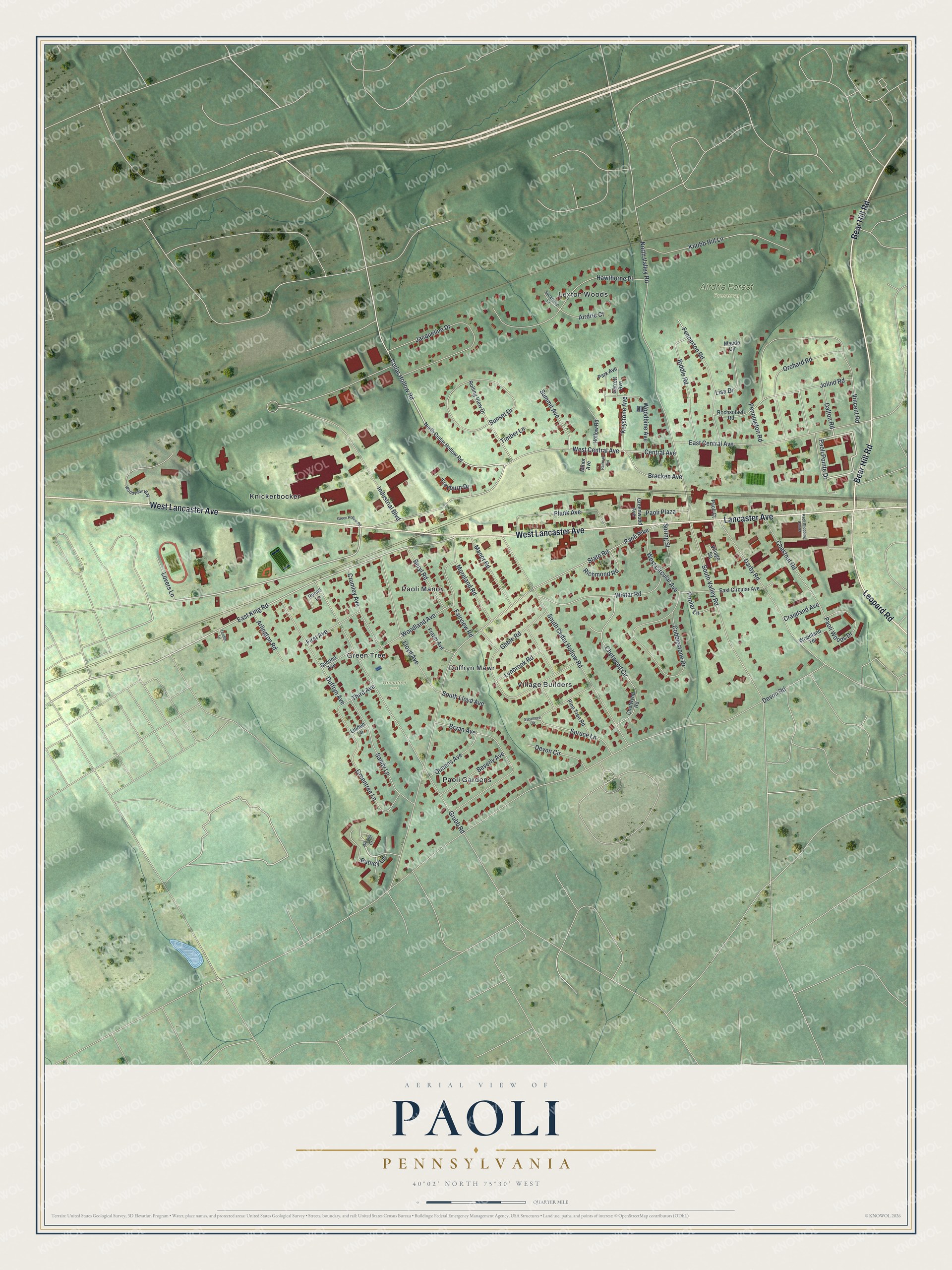
This beautifully detailed map of Paoli, Pennsylvania was created in 2026 using aerial imagery combined with modern topographical, census, street and landmark data. It’s a one-of-a-kind view of Paoli that combines accurate data with a vintage aesthetic. The map shows every building in its true location, many of the roads carry their names, and the shaded topographic relief shows the shape of the land.
Explore an aerial view of Paoli, Pennsylvania
On the map you’ll find Airdrie Forest Preserve, Greentree Park, Duffryn Mawr, Green Tree, Knickerbocker, Lexton Woods, Paoli Gardens, Paoli Manor, and Village Builders, along with West Lancaster Avenue, Bear Hill Road, Lancaster Avenue, and more. If you look closely you can even find your house accurately drawn in its correct location. Zoom in on the preview to look for yours.
Did you know this piece of Paoli, Pennsylvania history?
From Data.pa.gov: "Organized in 1711 by Welsh families, it is the second oldest Baptist church in the State and the mother of eight nearby congregations."
Take a closer look at the Paoli map
Street and place names on the Paoli, Pennsylvania map
These names are printed on the map of Paoli, Pennsylvania.
Places: Airdrie Forest Preserve, Greentree Park, Duffryn Mawr, Green Tree, Knickerbocker, Lexton Woods, Paoli Gardens, Paoli Manor and Village Builders.
Streets and roads: West Lancaster Avenue, Bear Hill Road, Lancaster Avenue, Leopard Road, Central Avenue, Paoli Pointe Drive, Putney Lane, Cedar Hollow Road, East King Road, Paoli Pike, Devon Road, Industrial Boulevard.
More street names, A to Z
Airdrie Court, Albans Court, Arlington Road, Beryl Road, Beverly Avenue, Biddle Road, Bracken Avenue, Bryan Avenue, Chestnut Road, Chetwynd Circle, Chetwynd Road, Cobblestone Drive, Craigland Avenue, Crumley Avenue, Dalton Road, Darby Road, Devon Circle, Duffryn Avenue, East Central Avenue, East Circular Avenue, Fairview Road, Fennerton Road, First Avenue, Frazer Avenue, Gable Road, Garrett Avenue, Green Hollow Road, Greentree Lane, Greenwood Avenue, Grubb Road, Hawthorne Place, Hollow Road, Jacqueline Drive, Jolind Road, Keystone Avenue, Knobb Hill Lane, Linden Lane, Lisa Drive, Lloyd Avenue, Lovers Lane, Lynbrook Road, Manor Road, Maude Circle, Minor Avenue, Moreland Road, North Cedar Hollow Road, North Valley Road, Orchard Road, Paoli Court, Paoli Plaza, Paoli Shopping Center, Paoli Woods Drive, Park Avenue, Pennington Road, Penns Lane, Pine Tree Road, Plank Avenue, Poplar Lane, Queens Avenue, Railroad Avenue, Richmond Road, Rochsolach Road, Rolling View Drive, Sandy Lane, Second Avenue, South Cedar Hollow Road, South Lloyd Avenue, South Valley Road, Spring Street, Spruce Lane, State Road, Summit Avenue, Sunset Drive, Sycamore Circle, Sycamore Court, Tendler Lane, Third Avenue, Timber Lane, Treyburn Drive, Village Square, Vincent Road, West Central Avenue, West Circular Avenue, Wistar Road, Woodbine Avenue, Woodland Avenue, Woodland Terrace, Woodview Way.
See the Paoli, Pennsylvania map on a wall
The Paoli map as an 18 x 24 inch print in a black frame.

This beautifully detailed map of Paoli makes an attractive addition to your office, library, or den, and it can even be used to teach children the geography and history of the area. It also makes a great gift for someone who left Paoli and still calls it home. When you’re done exploring, click here to get your copy of the Paoli map.