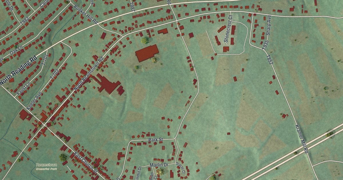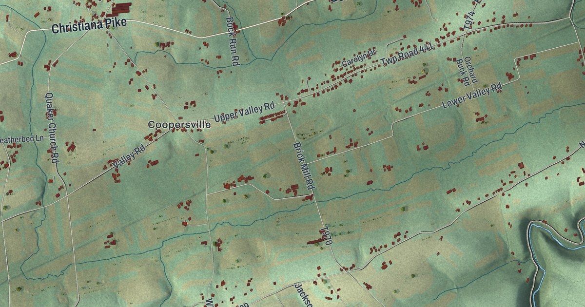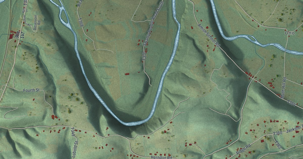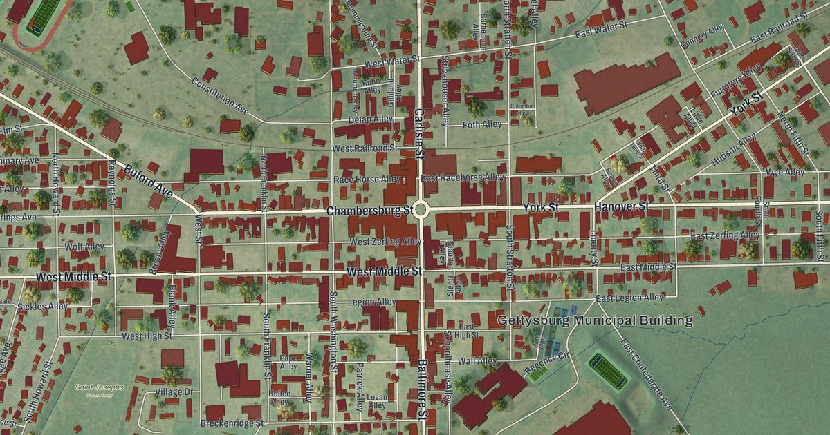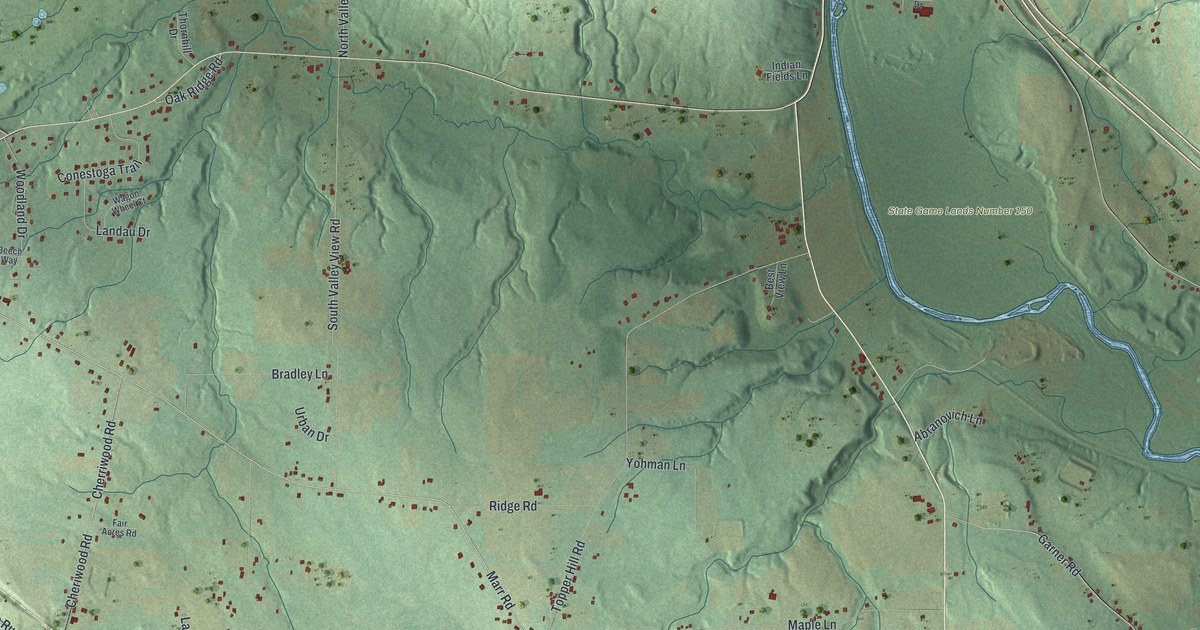
This beautifully detailed map of Pulaski, Lawrence County, Pennsylvania was created in 2026 using aerial imagery combined with modern topographical, census, street and landmark data. It’s a one-of-a-kind view of Pulaski that combines accurate data with a vintage aesthetic. The map shows every building in its true location, many of the roads carry their names, and the shaded topographic relief shows the shape of the land.
Explore an aerial view of Pulaski, Lawrence County, Pennsylvania
On the map you’ll find Villa Maria, Nashua, New Bedford, Frizzleburg, and State Game Lands Number 150, along with Mercer Street, Marr Road, Ben Franklin Parkway, Pulaski Mercer Road, and more. If you look closely you can even find your house accurately drawn in its correct location. Zoom in on the preview to look for yours.
Did you know this piece of Pulaski, Lawrence County, Pennsylvania history?
Daniel Ault built a grist mill on the west side of the Shenango around 1800. He also built the old dam. In 1832, William Byers and John Piper laid out the town of Pulaski. Union Street marked the line between their two halves. The Erie Extension canal reached the town about 1836. That’s from the 1872 Atlas and History of Lawrence County.
Take a closer look at the Pulaski, Lawrence County map
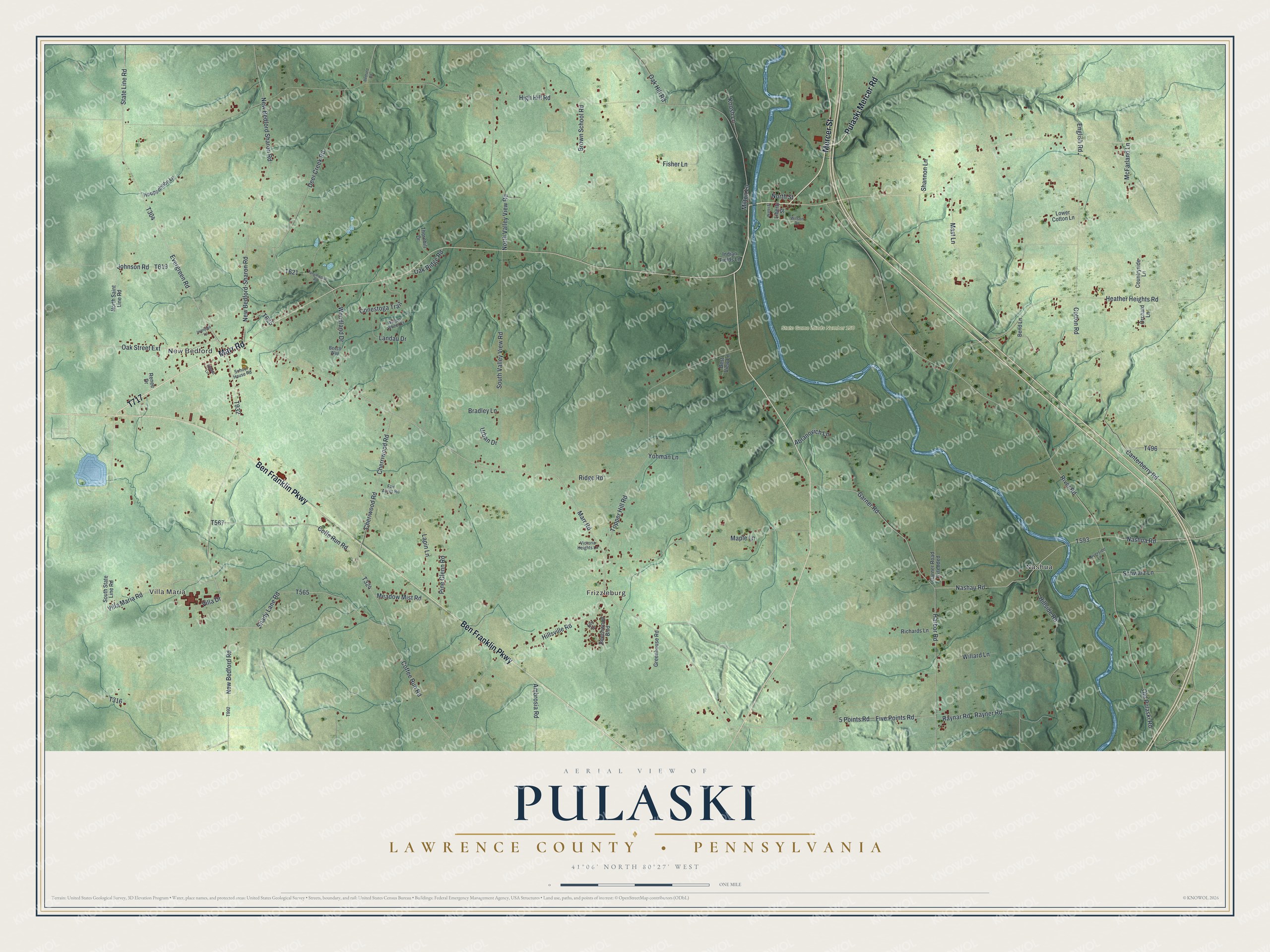
Street and place names on the Pulaski, Lawrence County, Pennsylvania map
These names are printed on the map of Pulaski, Lawrence County, Pennsylvania.
Places: Villa Maria, Nashua, New Bedford, Frizzleburg and State Game Lands Number 150.
Streets and roads: Mercer Street, Marr Road, Ben Franklin Parkway, Pulaski Mercer Road, New Bedford Road, Evergreen Road, State Line Road, New Bedford-Sharon Road, Nashau Road, Villa Maria Road, Canterberry Road, Old Pulaski Road.
More street names, A to Z
5 Points Road, Abranovich Lane, Ambrosia Road, Bedford Road, Beech Way, Beechwood Boulevard, Bend Lane, Best View Lane, Bradley Lane, Brown School Road, Cheriwood Road, Cherriwood Road, Coffee Run Road, Coffe Run Road, Conestoga Trail, Cotton Road, Countryside Lane, Deer Creek Road, Elm Drive, English Road, Fair Acres Road, Fisher Lane, Five Points Road, Garner Road, Garner Road Extended, Greenhouse Road, Harbor Road, Heather Heights Road, High Hill Road, Hillside Road, Hillsville Road, Hoopenhobe Lane, Hyland Lane, Indian Fields Lane, Iwanjeko Lane, Johnson Road, Koosh Lane, Landau Drive, Lapin Lane, Liberty Street, Lower Cotton Lane, Maple Lane, Mast Lane, McFarland Lane, Meadow Mist Road, Milton Lane, Nashua Road, New Bedford Sharon Road, North Saint Line Road, North Street, North Valley View Road, Oak Hill Road, Oak Ridge Road, Oak Street Extension, Orchard Lane, Pine Glenn Road, Raynar Road, Rayner Road, Renee Drive, Richards Lane, Ridge Road, River Road, Riverside Lane, School House Road, Schwarz Lane, Shady Lane Road, Shannon Lane, South State Line Road, South Valley View Road, Tanglewood Road, Thornhill Drive, Topper Hill Road, Urban Drive, Victoria Heights Lane, Villa Drive, Wagon Wheel Court, Water Street, Willard Lane, Wilson Drive, Woodland Drive, Yohman Lane.
See the Pulaski, Lawrence County, Pennsylvania map on a wall
The Pulaski, Lawrence County map as an 18 x 24 inch print in a black frame.

This beautifully detailed map of Pulaski, Lawrence County makes an attractive addition to your office, library, or den, and it can even be used to teach children the geography and history of the area. It also makes a great gift for someone who left Pulaski and still calls it home. When you’re done exploring, click here to get your copy of the Pulaski, Lawrence County map.