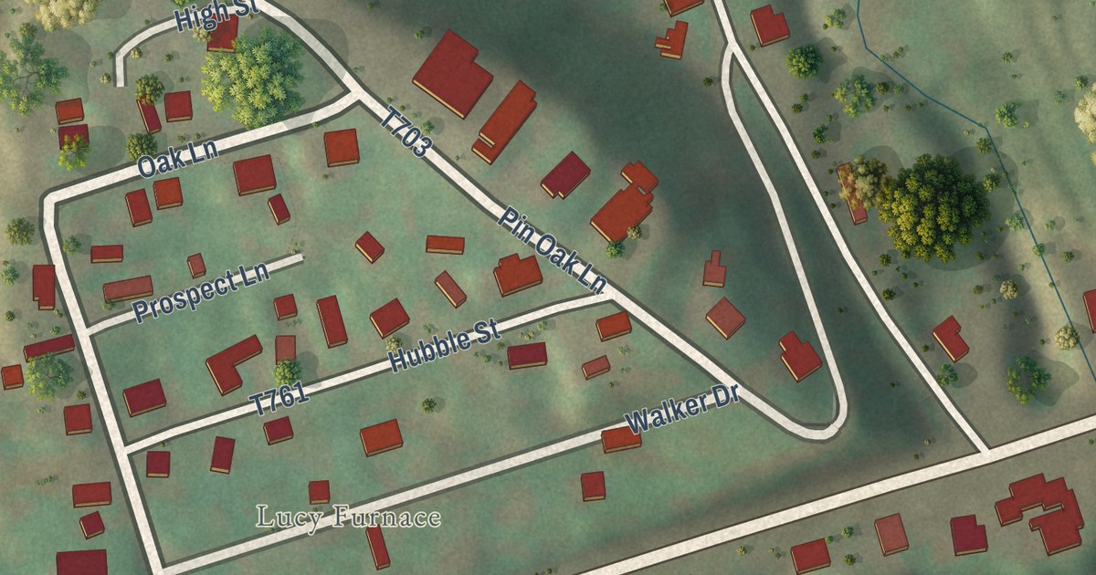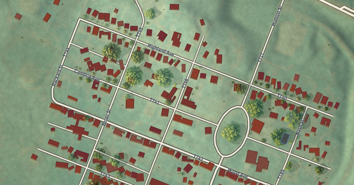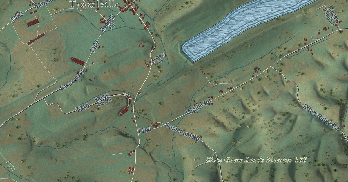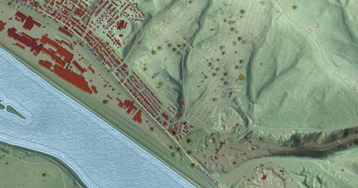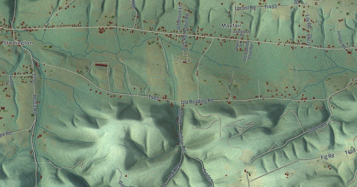
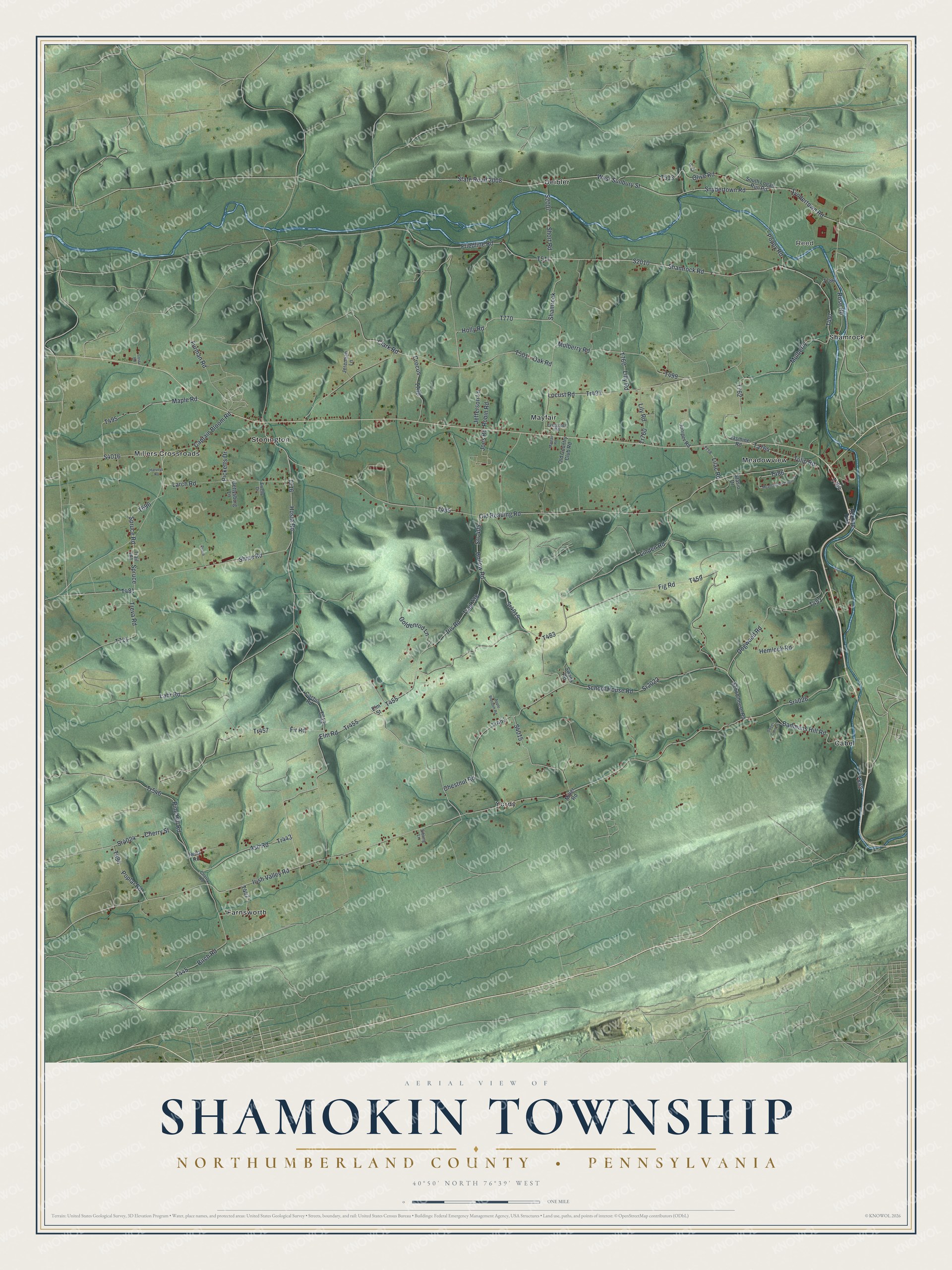
This beautifully detailed map of Shamokin Township, Pennsylvania was created in 2026 using aerial imagery combined with modern topographical, census, street and landmark data. It’s a one-of-a-kind view of Shamokin Township that combines accurate data with a vintage aesthetic. The map shows every building in its true location, many of the roads carry their names, and the shaded topographic relief shows the shape of the land.
Explore an aerial view of Shamokin Township, Pennsylvania
On the map you’ll find Reed, Cabel, Deibler, Farnsworth, Mayfair, Meadowview, Millers Crossroads, Shamrock, Stonington, and Yordy, along with Hosta Road, and more. If you look closely you can even find your house accurately drawn in its correct location. Zoom in on the preview to look for yours.
Did you know this piece of Shamokin Township, Pennsylvania history?
Shamokin Township first carried the name Ralpho after it was split from Catawissa. Settlers disliked the strange name and petitioned the court for a change. They argued that Shamokin, the name of their creek, was known across this and nearby states, and that mail could easily go astray. The court agreed and renamed the township Shamokin. That’s from the 1891 History of Northumberland County, Pennsylvania.
Take a closer look at the Shamokin Township map
Street and place names on the Shamokin Township, Pennsylvania map
These names are printed on the map of Shamokin Township, Pennsylvania.
Places: Reed, Farnsworth, Stonington, Cabel, Yordy, Mayfair, Meadowview, Deibler, Millers Crossroads and Shamrock.
Streets and roads: Hosta Road, Friedline Road, Holly Road, Tr455, Shamrock Road, Mulberry Road, Spruce, Snydertown Road, Irish Valley Road, Sr4024, Cherry Street, Mulberry.
More street names, A to Z
Apple Blossom Road, Ash Road, Badmans Hill Road, Birch Road, Cactus Road, Captain Bloom Road, Cherry Road, Chestnut Road, Clark Road, Costa Road, Crocus, Dogwood Road, Elm Road, Elm Street, Evergreen Road, Ewells Drive, Fig Road, Fir Road, Furman Road, Gettysburg Lane, Goldenrod Lane, Harveys Road, Hemlock Road, Hollow Road, Iris Road, Jasmine Road, Jefferson Lane, Jeremiah Lane, Joes Road, Juniper Road, Lahr Road, Larch Road, Lilac Road, Lilly Road, Lily Road, Linden Road, Locust Road, Maple Road, Mayfair Road, Meadowview Circle Drive, Miller Road, Oak Road, Old Country Club Road, Old Reading Road, Olive Road, Peach, Picketts Drive, Pine Hill Road, Poplar Road, Poppy Road, Pr Drive, Reading Turnpike, Reitz Road, Robin Road, Rose Road, School House Road, Schoolhouse Road, Shipe Road, Short Road, Sibling Lane, South Logan Run Road, Spruce Road, Sr2022, Sr4015, Sr4026, Srs 405, Stasio Drive, State Road 2008, Swank Road, Sweet Corn Lane, Syndertown Road, Ta764, Tr443, Tr451, Tr457, Tr493, Tr546, Tr760, Trail 481, Trail 738, Treva Road, Tulip Road, West Sunbury Street.
See the Shamokin Township, Pennsylvania map on a wall
The Shamokin Township, Northumberland County map as an 18 x 24 inch print in a black frame.

This beautifully detailed map of Shamokin, Northumberland County makes an attractive addition to your office, library, or den, and it can even be used to teach children the geography and history of the area. It also makes a great gift for anyone with Shamokin Township roots. When you’re done exploring, click here to get your copy of the Shamokin, Northumberland County map.