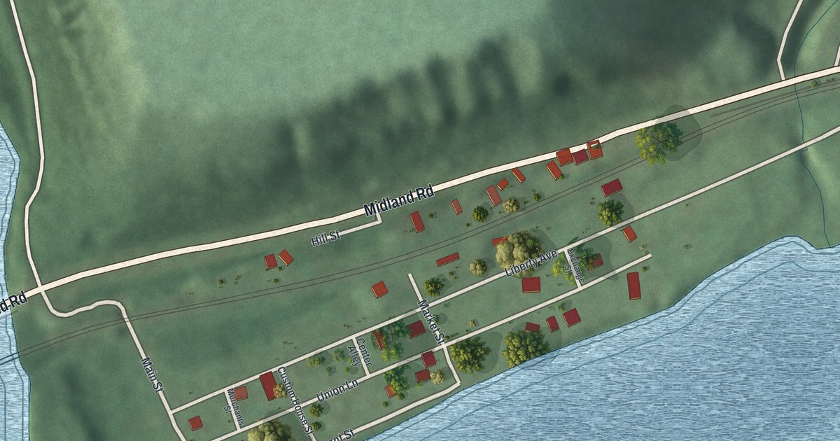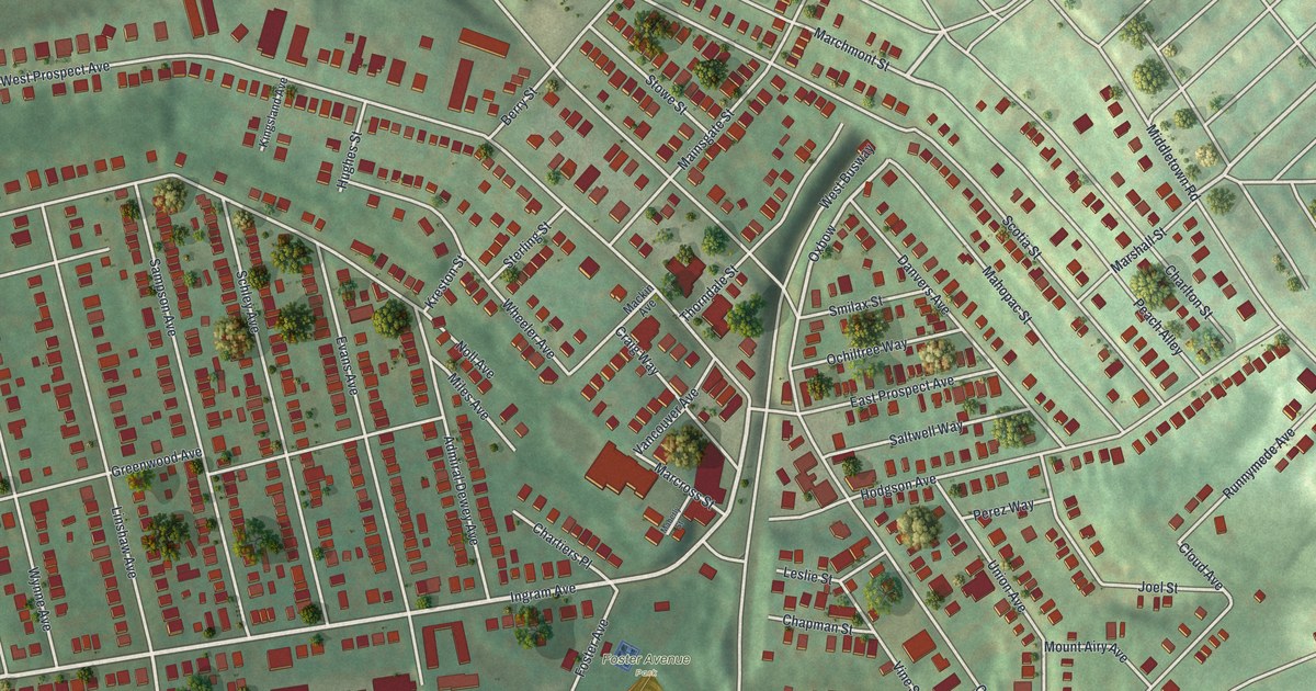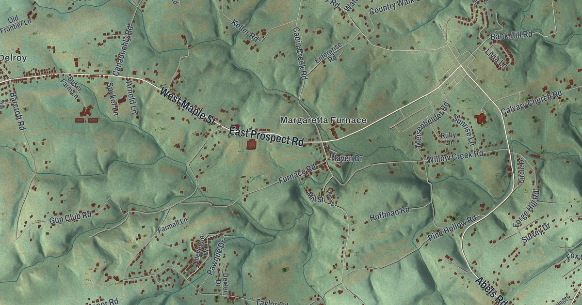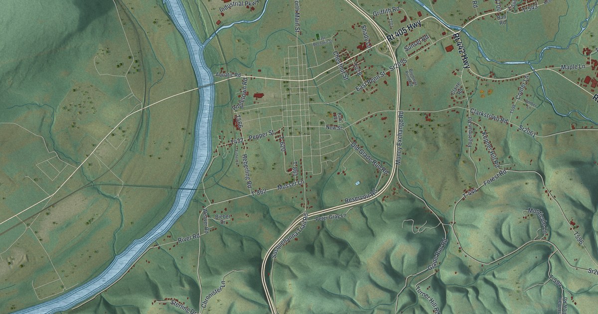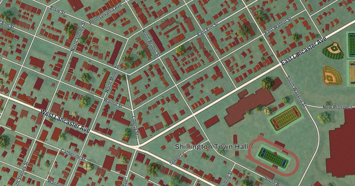
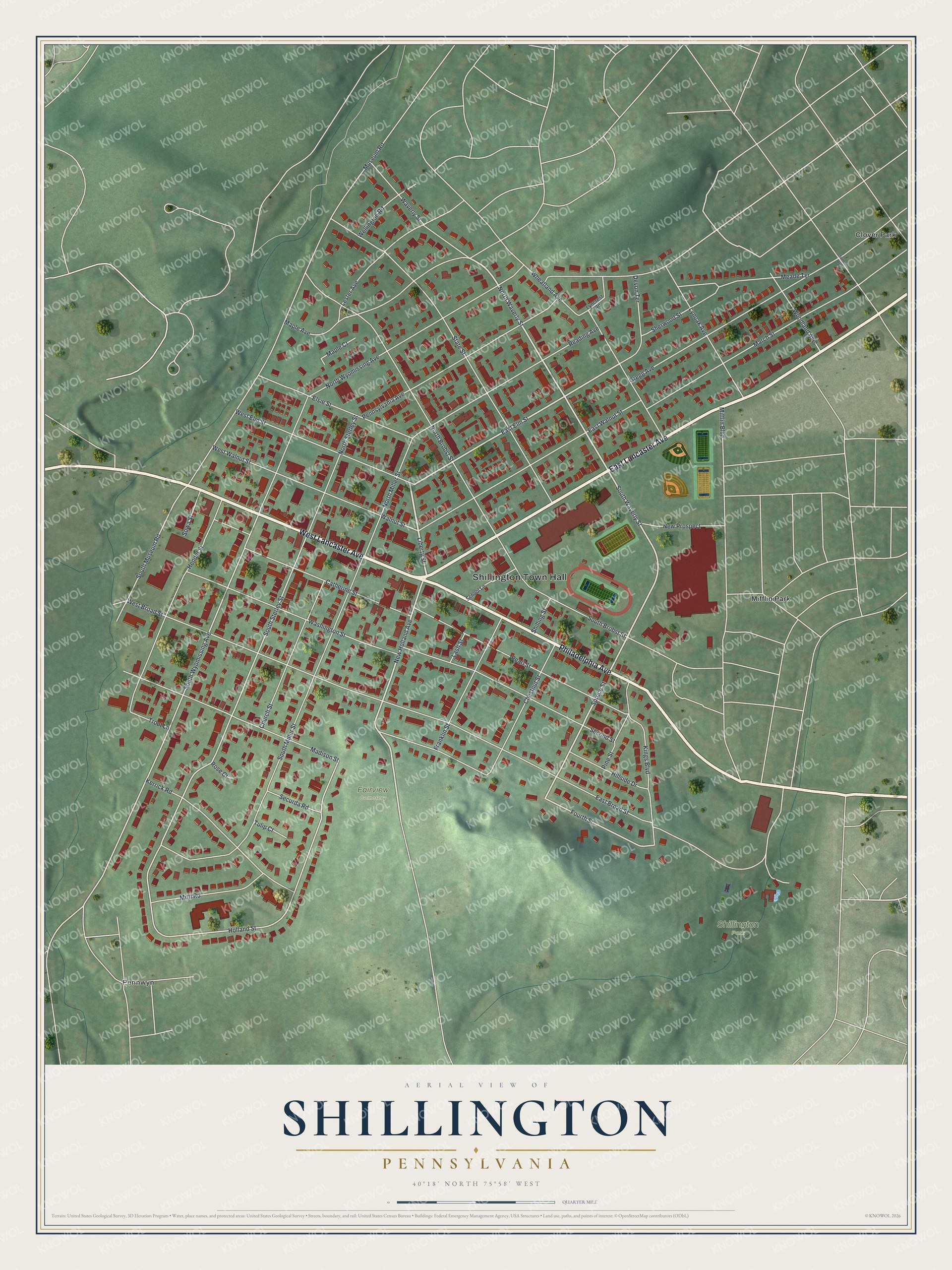
This beautifully detailed map of Shillington, Pennsylvania was created in 2026 using aerial imagery combined with modern topographical, census, street and landmark data. It's a modern aerial view of Shillington in Berks County, Pennsylvania, that combines modern data with a vintage aesthetic. The roads feature printed names, and if you look closely you can find your exact house accurately shown in its correct location.
Explore an aerial view of Shillington, Pennsylvania
On this map you'll find Shillington Town Hall, Shillington Park, Fairview Cemetery, Clover Park, Mifflin Park, Pennwyn, East Lancaster Avenue, Philadelphia Avenue, West Lancaster Avenue, Liberty Street, North Waverly Street, South Waverly Street, and more. Each red shape is a building, so zoom in on the preview and look for yours.
Here is a piece of Shillington history, in the words of the record. The Pennsylvania Historical and Museum Commission puts it this way: "Member of the Continental Congress, a Revolutionary soldier, first Pennsylvania governor, 1790-99, lived at his estate Angelica from 1774 to 1794. The Berks County Farm and Home now occupies the site."
Shillington is a borough in Berks County. The Census Bureau counted 5,475 people here in 2020.
Take a closer look at the Shillington map
Names on this map
These names are printed on this map.
Places: Shillington Town Hall, Shillington Park, Fairview Cemetery, Clover Park, Mifflin Park and Pennwyn.
Streets and roads: East Lancaster Avenue, Philadelphia Avenue, West Lancaster Avenue, Liberty Street, North Waverly Street, South Waverly Street, New Holland Avenue, East Elm Street, Spruce Street, Fourth Street, South Wyomissing Avenue, South Sterley Street.
More street names, A to Z
Catherine Street, Chestnut Street, Church Street, Devon Terrace, East Broad Street, East Walnut Street, Elsie Street, Franklin Street, Gregg Avenue, Hendel Street, Hillside Drive, Holland Street, Kerrick Road, Kings Boulevard, Lash Street, Lester Avenue, Lyncrest Road, Lynoak Avenue, Madison Street, Maple Avenue, Maple Court, March Street, Meade Terrace, Mifflin Boulevard, Mitti Road, Museum Road, New Prospect, North Brobst Street, North Miller Street, North Sterley Street, North Wyomissing Avenue, Pearl Street, Pennsylvania Avenue, Pine Street, Reading Avenue, Rose Court, School Lane, Second Street, Securda Road, Sherwood Street, Shilling Street, South Brobst Street, South Miller Street, South Museum Road, Sowa Street, State Street, Summit Avenue, Trout Lane, Tulip Court, Walnut Street, Washington Street, Waverly Street, Wellington Road, West Broad Street, West Elm Street, West Walnut Street, Wheatland Avenue, Woodland Avenue.
Created by KNOWOL in 2026. The buildings are small red shapes, the roads carry their printed names, and shaded relief shows the shape of the land. The title panel reads "AERIAL VIEW OF SHILLINGTON PENNSYLVANIA" with 4, 0, °, 1, 8, ', , N, O, R, T, H, , 7, 5, °, 5, 8, ', , W, E, S, T.
It suits a den, a classroom or a front hall, and it makes a gift for anyone with Shillington roots. Open the preview and find the block you know. See sizes and frames for the Shillington map.