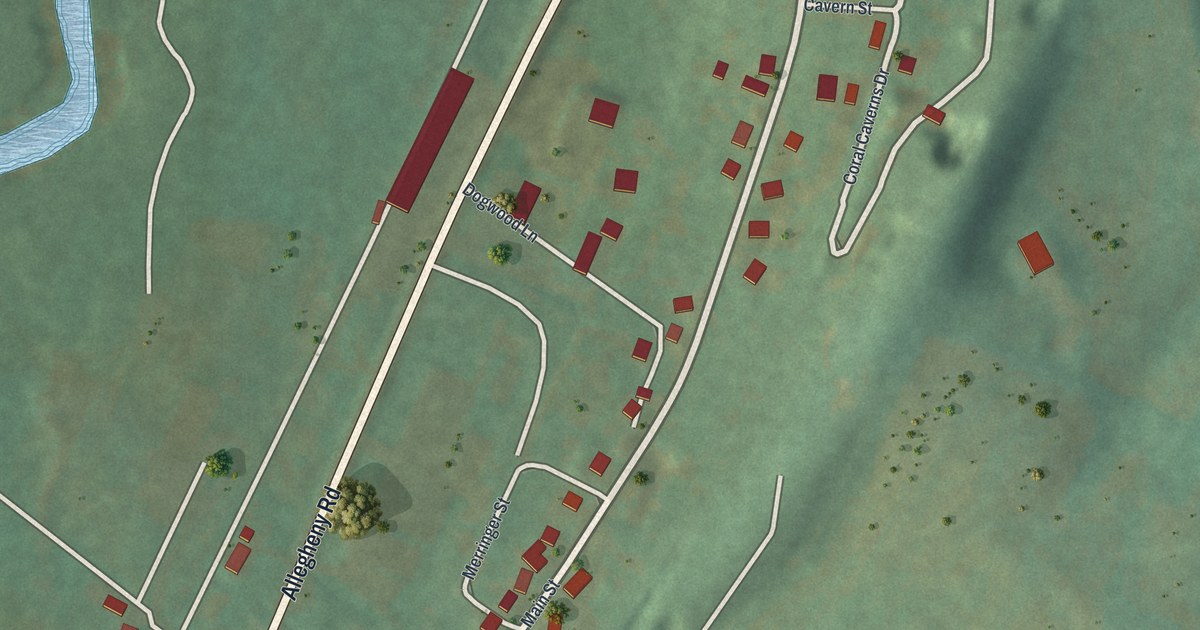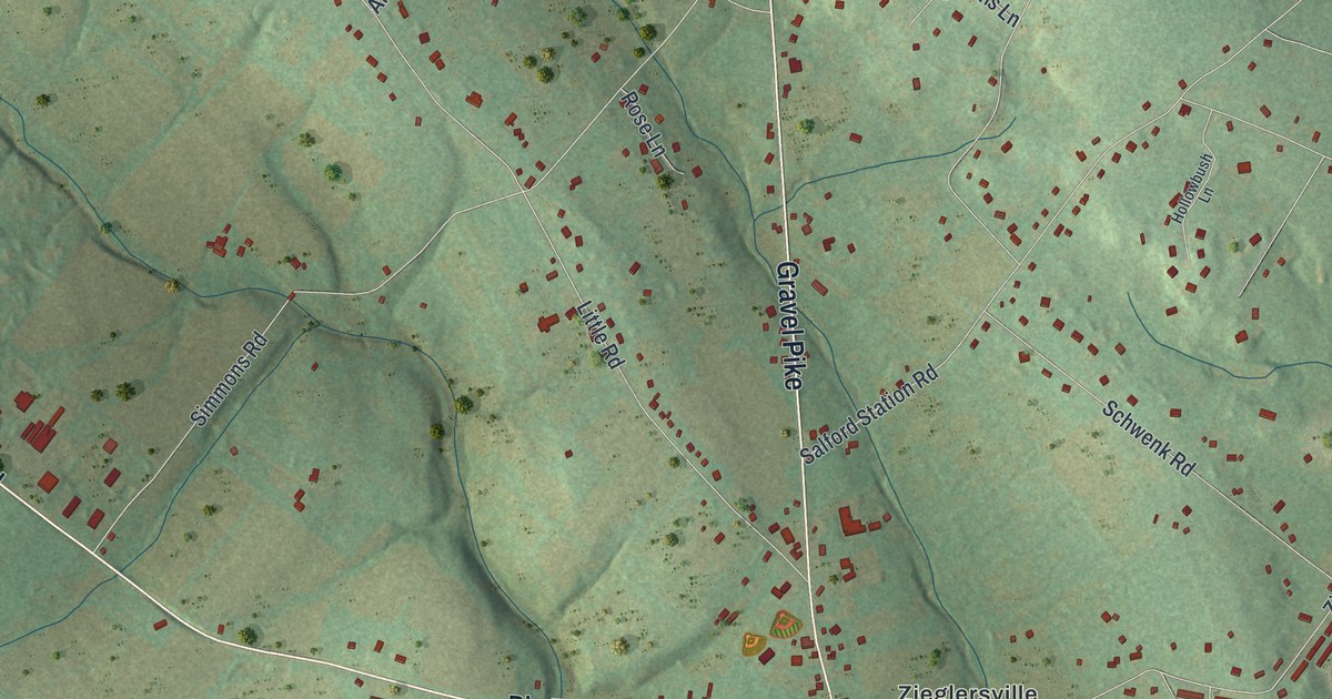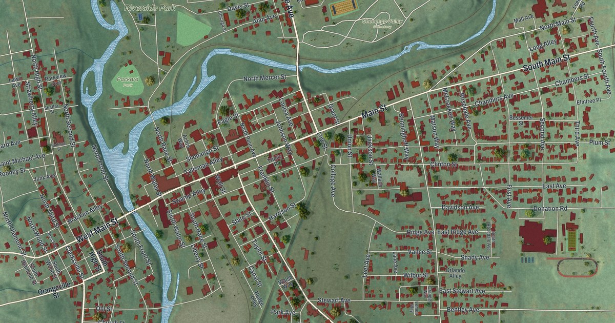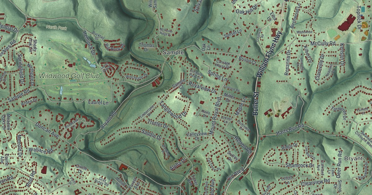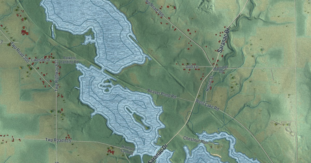
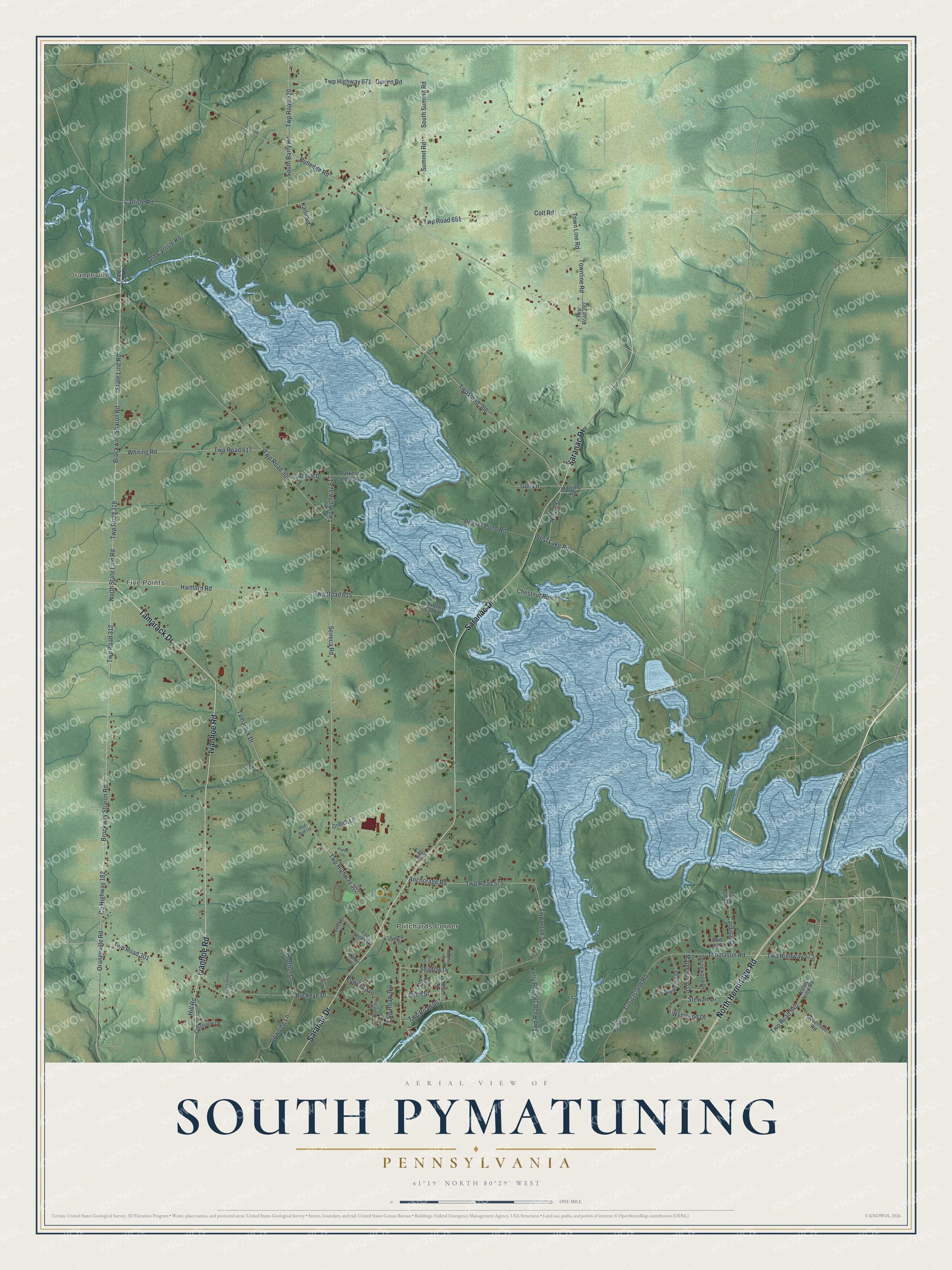
This beautifully detailed map of South Pymatuning, Pennsylvania was created in 2026 using aerial imagery combined with modern topographical, census, street and landmark data. It's a modern aerial view of South Pymatuning in Mercer County, Pennsylvania, that combines modern data with a vintage aesthetic. The roads feature printed names, and if you look closely you can find your exact house accurately shown in its correct location.
Explore an aerial view of South Pymatuning, Pennsylvania
On this map you'll find Pritchards Corner, Orangeville, Five Points, Tamarack Drive, Ivanhoe Road, Saranac Drive, North Hermitage Road, Twp Road 318, Brockway-Sharon Road, Brockway Sharon Road, Orangeville Road, State Line Road, and more. Each red shape is a building, so zoom in on the preview and look for yours.
Here is a piece of South Pymatuning history, in the words of the record. The record at data.pa.gov puts it this way: "The only remaining bridge in Pennsylvania with an all-wooden truss design patented by Robert Smith of Tippecanoe City, Ohio."
South Pymatuning is a place in Mercer County. The Census Bureau counted 2,653 people here in 2020.
Take a closer look at the South Pymatuning map
Names on this map
These names are printed on this map.
Places: Pritchards Corner, Orangeville and Five Points.
Streets and roads: Tamarack Drive, Ivanhoe Road, Saranac Drive, North Hermitage Road, Twp Road 318, Brockway-Sharon Road, Brockway Sharon Road, Orangeville Road, State Line Road, County Highway 182, Twp Highway 302, Twp Road 567.
More street names, A to Z
Anchorage Road, Aspen Lane, Baywoods Drive, Beaver Pond Road, Birch Street, Blue Jay Drive, Buckeye Drive, Cardinal Drive, Carlisle Road, Chestnut Run, Chrisjayna Lane, Colt Road, Crestview Drive, Cricket Lane, Darien Road, Downing Lane, Drivere Lane, Dunham Street, Eagle Place, Ford Avenue, Fox Creek Lane, Gull Lane, Hartford Landing, Hartford Road, Hill Road, Huron Street, Kane Road, Kathy Lane, Kelly Road, Lakeside Drive, Madeline Street, Maplewood Drive, Mortimer Road, North State Line Road, Old Carlisle Road, Oneida Lane, Parkers Landing Road, Powers Avenue, Red Bud Lane, Robertson Road, Rutledge Road, Scott Lane, Seneca Road, Shadow Drive, South Barry Road, South Summit Road, Springwood Drive, Stewart Drive, Summit Road, Sump Lane, Thomason Road, Thorton Lane, Town Line Road, Townline Road, Trout Island Road, Twp Highway 573, Twp Highway 617, Twp Highway 671, Twp Road 300, Twp Road 301, Twp Road 312, Twp Road 320, Twp Road 358, Twp Road 360, Twp Road 366, Twp Road 388, Twp Road 392, Twp Road 571, Twp Road 573, Twp Road 575, Twp Road 591, Twp Road 615, Twp Road 617, Twp Road 651, Twp Road 940, Valley View Road, West Lake Road, Whiting Road, Wynwood Drive.
Created by KNOWOL in 2026. The buildings are small red shapes, the roads carry their printed names, and shaded relief shows the shape of the land. The title panel reads "AERIAL VIEW OF SOUTH PYMATUNING PENNSYLVANIA" with 4, 1, °, 1, 9, ', , N, O, R, T, H, , 8, 0, °, 2, 9, ', , W, E, S, T.
It suits a den, a classroom or a front hall, and it makes a gift for anyone with South Pymatuning roots. Open the preview and find the block you know. See sizes and frames for the South Pymatuning map.