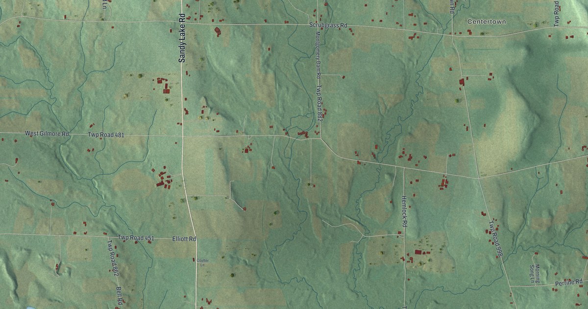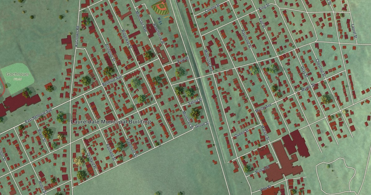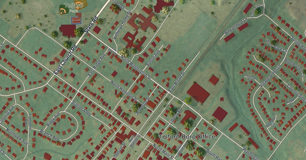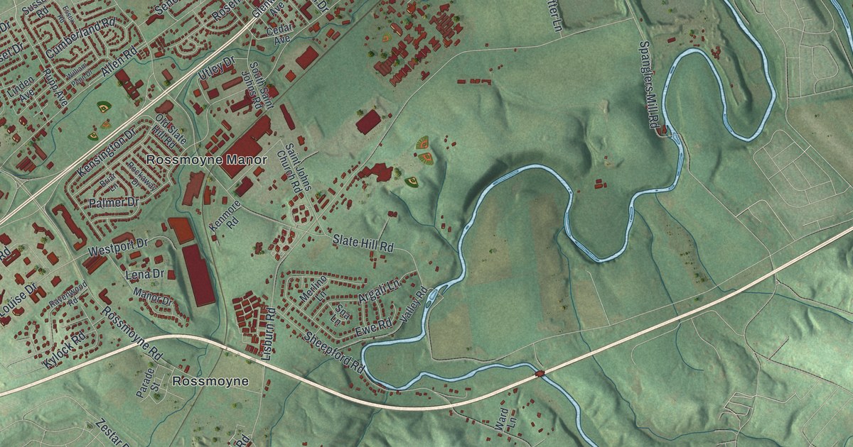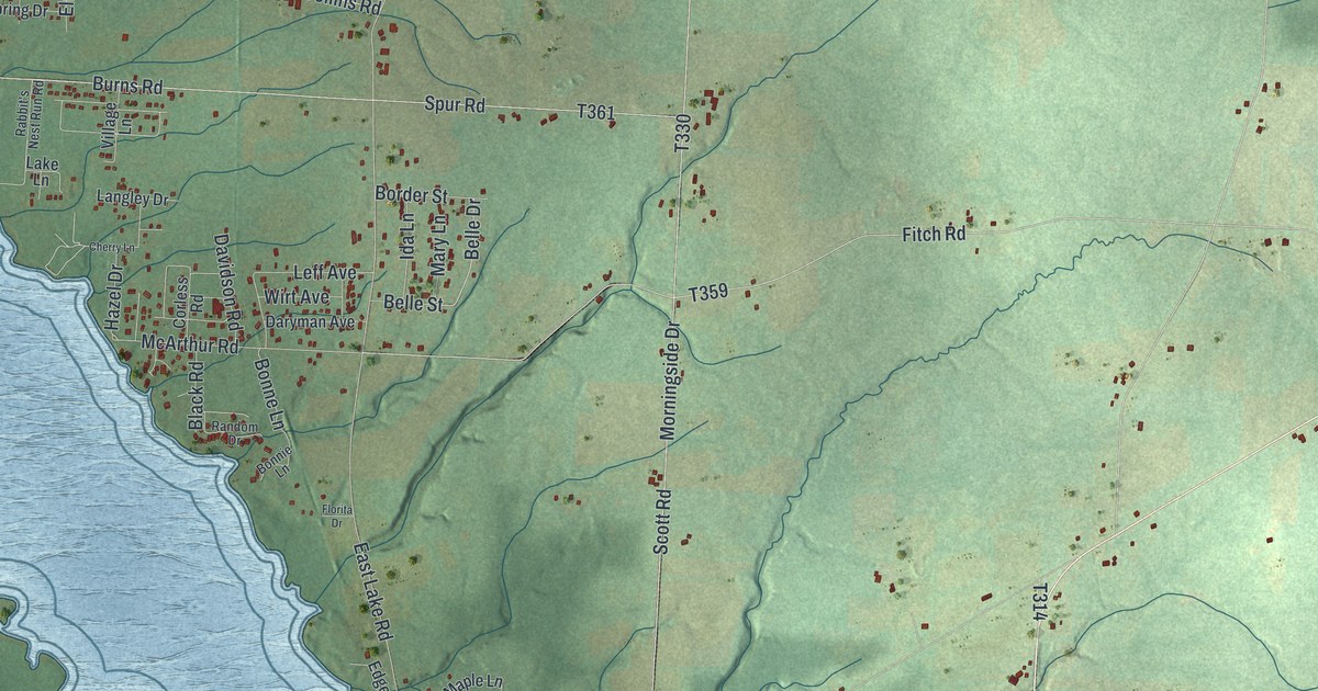
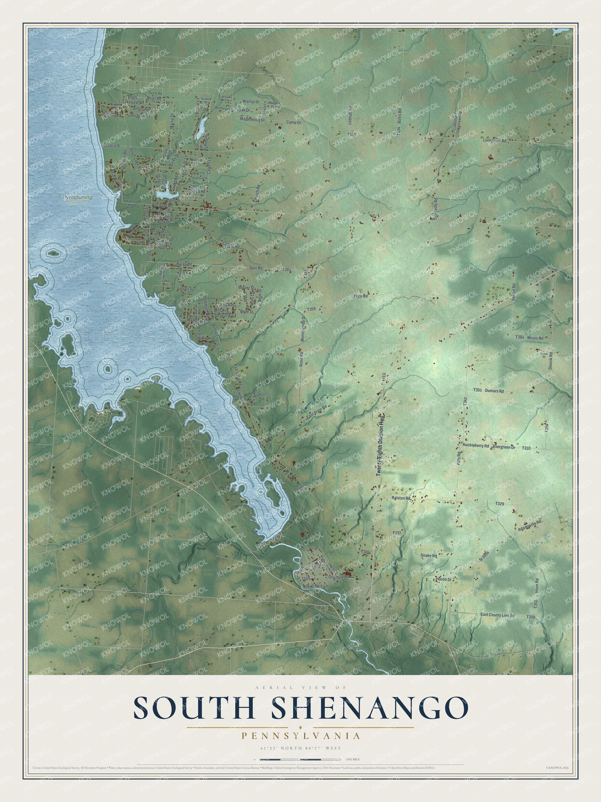
This beautifully detailed map of South Shenango, Pennsylvania was created in 2026 using aerial imagery combined with modern topographical, census, street and landmark data. It's a modern aerial view of South Shenango in Crawford County, Pennsylvania, that combines modern data with a vintage aesthetic. The roads feature printed names, and if you look closely you can find your exact house accurately shown in its correct location.
Explore an aerial view of South Shenango, Pennsylvania
On this map you'll find Westford, Pymatuning State Park, Twenty-Eighth Division Highway, Adamsville Road, Hurlbert Road, Douthett Drive, T505, Penn Road, Plymouth Lane, East County Line Road, T309, Bucktail Road, and more. Each red shape is a building, so zoom in on the preview and look for yours.
South Shenango has a story worth telling. The Internet Archive puts it this way: "The first mill-
ing was done at Greenville, and some time after Campbell's mill was started
John Clyde constructed a small one on Tract 812."
South Shenango is a place in Crawford County. The Census Bureau counted 1,831 people here in 2020.
Take a closer look at the South Shenango map
Names on this map
These names are printed on this map.
Places: Westford and Pymatuning State Park.
Streets and roads: Twenty-Eighth Division Highway, Adamsville Road, Hurlbert Road, Douthett Drive, Penn Road, Plymouth Lane, East County Line Road, Bucktail Road, East Lake Road, Snodgrass Road, North Drive, Livingston Road.
More street names, A to Z
Antler Alley, Belle Drive, Belle Street, Black Road, Bonne Lane, Bonnie Drive, Bonnie Lane, Border Street, Bradock Lane, Bullis Road, Burns Road, Calvert Lane, Camp Drive, Cedar Drive, Chase Drive, Cherry Lane, Chippewa Road, Church Road, Circle Trail, Collins Road, Colonial Lane, Corless Road, Dam Road, Daryman Avenue, Davidson Road, Deezik Road, Dumars Road, East Elm Drive, East State Road, Edgewater Drive, Elm Drive, Eriez Drive, Evergreen Drive, First Avenue, Fitch Road, Florita Drive, Glen Drive, Glenwood Drive, Haas Drive, Haun Road, Hazel Drive, Hillside Road, Howe, Hubert Road, Huckleberry Road, Hulbert Road, Huron Street, Ida Lane, Ike Drive, Iroquois Road, Lake Boulevard, Lake Lane, Lakeview Road, Langley Drive, Lebhaft Road, Leff Avenue, Linesville - Jamestown Road, Linesville Road, Maple Lane, Maplewood Drive, Marblehead Drive, Martin Drive, Mary Lane, McArthur Road, Meadow Drive, Morningside Drive, Mrvos Road, Muriel Lane, Newport Drive, North First Street, Oak Drive, Ontario Street, Ottawa Road, Overlook Drive, Park Drive, Patton Road, Pecan Drive, Penn, Pitts Road, Portsmouth Drive, Potomac Lane, Pymatunning Drive, Quick Road, Rabbit's Nest Run Road, Ralston Road, Random Drive, Revere Lane, Rocky Drive, Scott Road, Shenango Drive, Snake Road, South Lake Road, South River Drive, Southside Drive, Spring Drive, Spruce Lane, Spur Road, Sr3004, Vendel Road, Village Lane, Walnut Drive, Westford Road, Williams Lane, Winding Way, Winthrop Lane, Wirt Avenue, Zeigler Drive.
Created by KNOWOL in 2026. The buildings are small red shapes, the roads carry their printed names, and shaded relief shows the shape of the land. The title panel reads "AERIAL VIEW OF SOUTH SHENANGO PENNSYLVANIA" with 4, 1, °, 3, 2, ', , N, O, R, T, H, , 8, 0, °, 2, 7, ', , W, E, S, T.
It looks right in a kitchen, an office or a den, and it's a gift for anyone who grew up in South Shenango or moved away. Open the preview and find your street. See sizes and frames for the South Shenango map.