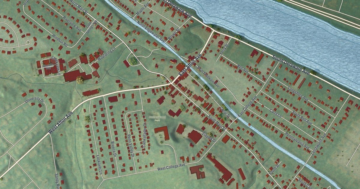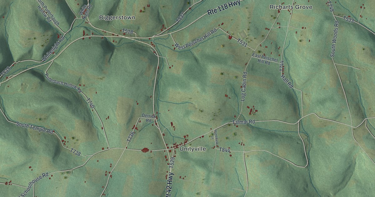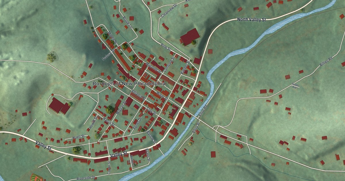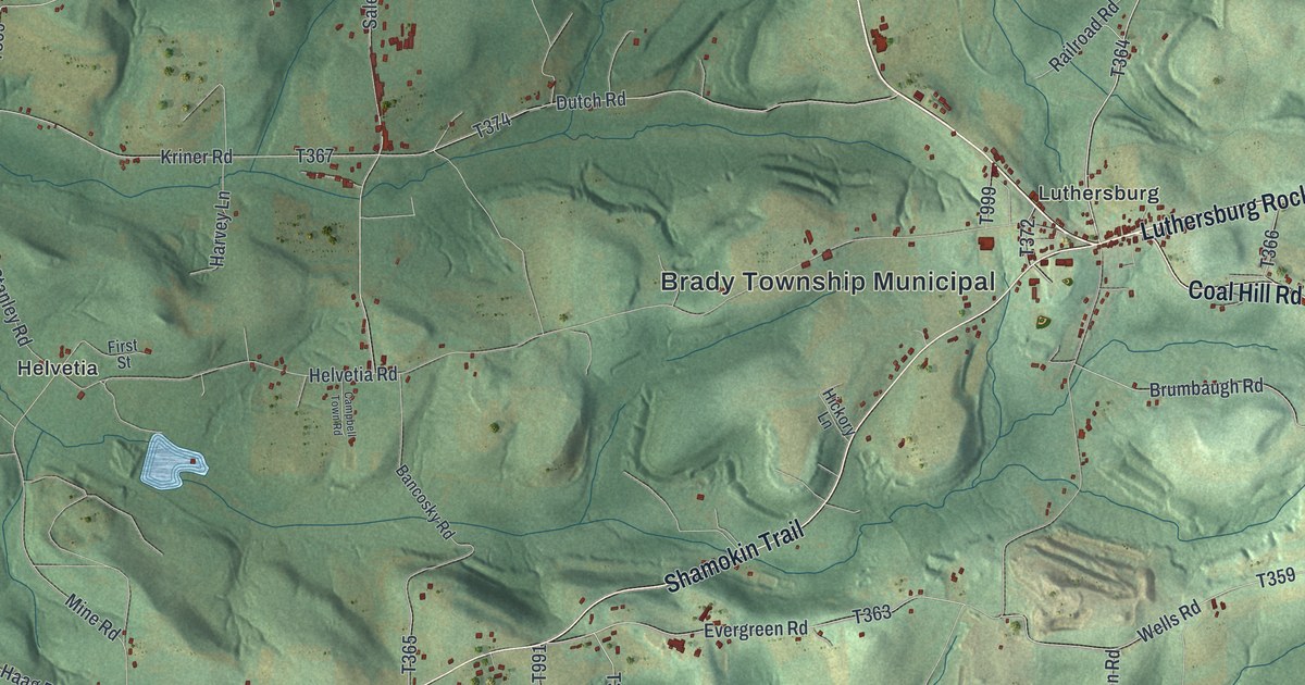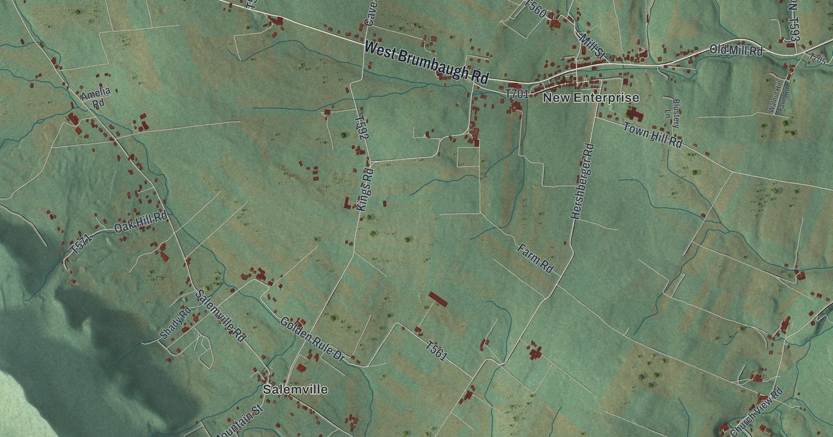
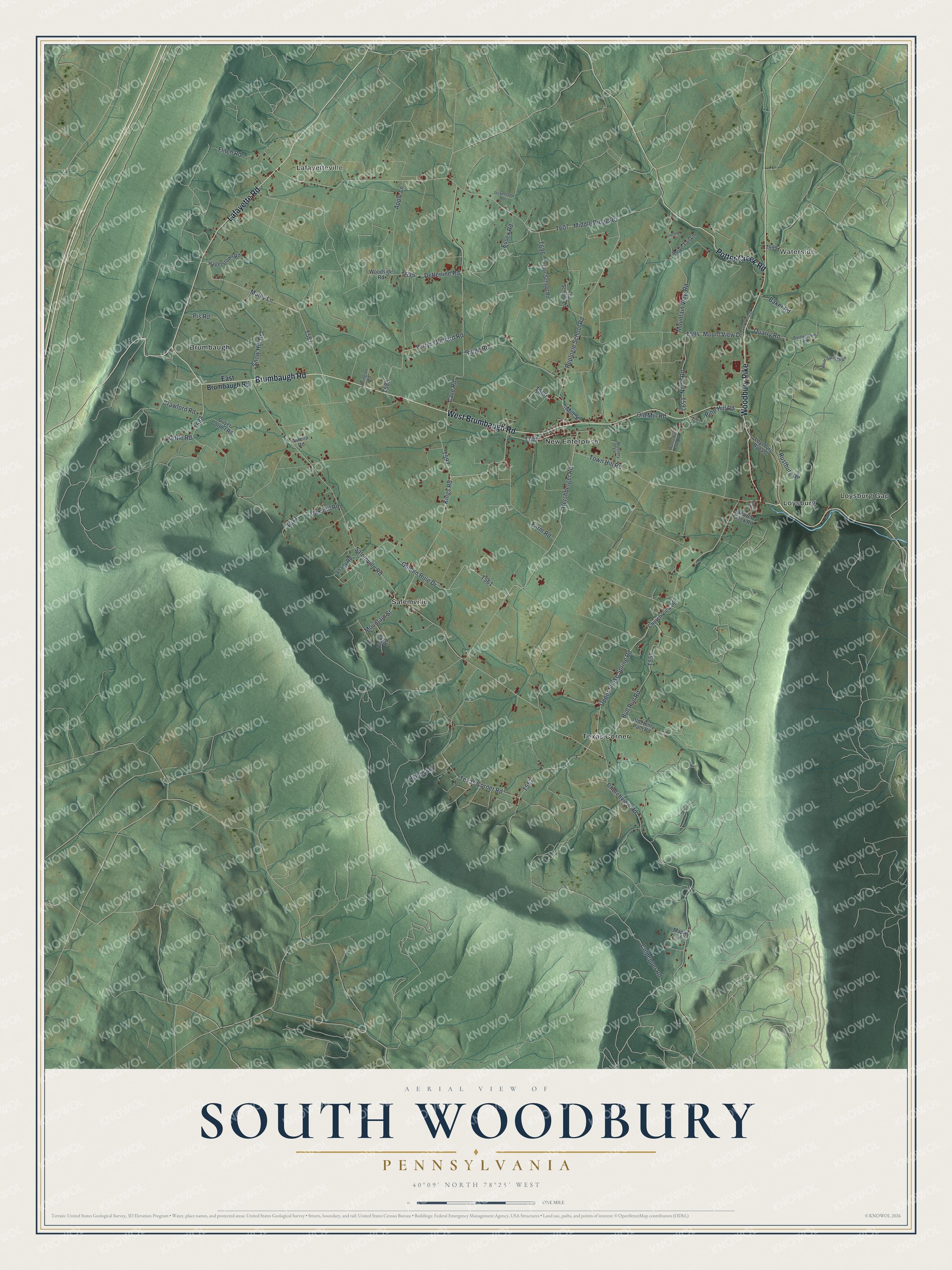
This beautifully detailed map of South Woodbury, Pennsylvania was created in 2026 using aerial imagery combined with modern topographical, census, street and landmark data. It's a modern aerial view of South Woodbury in Bedford County, Pennsylvania, that combines modern data with a vintage aesthetic. The roads feature printed names, and if you look closely you can find your exact house accurately shown in its correct location.
Explore an aerial view of South Woodbury, Pennsylvania
On this map you'll find Lafayetteville, Waterside, Brumbaugh, Loysburg, Loysburg Gap, New Enterprise, Salemville, Texas Corner, Brumbaugh Road, West Brumbaugh Road, Woodbury Pike, Lafayette Road, and more. Each red shape is a building, so zoom in on the preview and look for yours.
Every town has a first chapter, and South Woodbury is no exception. The Pennsylvania Historical and Museum Commission puts it this way: "In 1936 seventy-five percent of Pennsylvania farms had no electric service. Over the next five years, in response to their needs, 14 consumer-owned cooperatives were formed in this State. Serving users in Bedford, Fulton and Huntingdon counties, New Enterprise Rural Electric Cooperative was incorporated November 18, 1938."
South Woodbury is a place in Bedford County. The Census Bureau counted 2,083 people here in 2020.
Take a closer look at the South Woodbury map
Names on this map
These names are printed on this map.
Places: Lafayetteville, Waterside, Brumbaugh, Loysburg, Loysburg Gap, New Enterprise, Salemville and Texas Corner.
Streets and roads: Brumbaugh Road, West Brumbaugh Road, Woodbury Pike, Lafayette Road, Potter Creek Road, Hershberger Road, Culpepper Road, Upper Snake Spring Road, Kings Road, Mount View Drive, Salemville Road, Ridge Road.
More street names, A to Z
Amelia Road, Apple Lane, Arlington Road, Aspen Lane, Baker Road, Bear Springs Lane, Beaver Creek Road, Bland Road, Blustery Lane, Bordertown Road, Bull Run Road, Cave Road, Churchview Road, Church View Road, Crawford Road, Detterline Road, Dickenson Road, Dove Tail Lane, East Brumbaugh Road, Essex Road, Farm Road, Flitch Road, Furrys Orchard Road, Golden Rule Drive, Guyer Corner Road, Hagerstown Road, Hilltop Drive, Kettle Road, Loysburg Bypass, Lunenberg Drive, Maple Lane, Middle Ridge Road, Mill Street, Mountain Street, Mountain View Road, Muley Lane, North Road, Oak Hill Road, Old Henry Path Road, Old Mill Road, Ole School Lane, Pine Hill Road, Pis Road, Quarry Road, Replogle School Road, Rustburg Road, Shady Road, Smith Lane, Snow Hill Road, Teeter School Road, Texas Corner Road, Town Hill Road, Walnut Hill Farm Road, Woodside Road.
Created by KNOWOL in 2026. The buildings are small red shapes, the roads carry their printed names, and shaded relief shows the shape of the land. The title panel reads "AERIAL VIEW OF SOUTH WOODBURY PENNSYLVANIA" with 4, 0, °, 0, 9, ', , N, O, R, T, H, , 7, 8, °, 2, 5, ', , W, E, S, T.
Hang it in the hallway, the office or the cabin, or give it to someone who left South Woodbury and still calls it home. Open the preview and look for a street you know. See sizes and frames for the South Woodbury map.