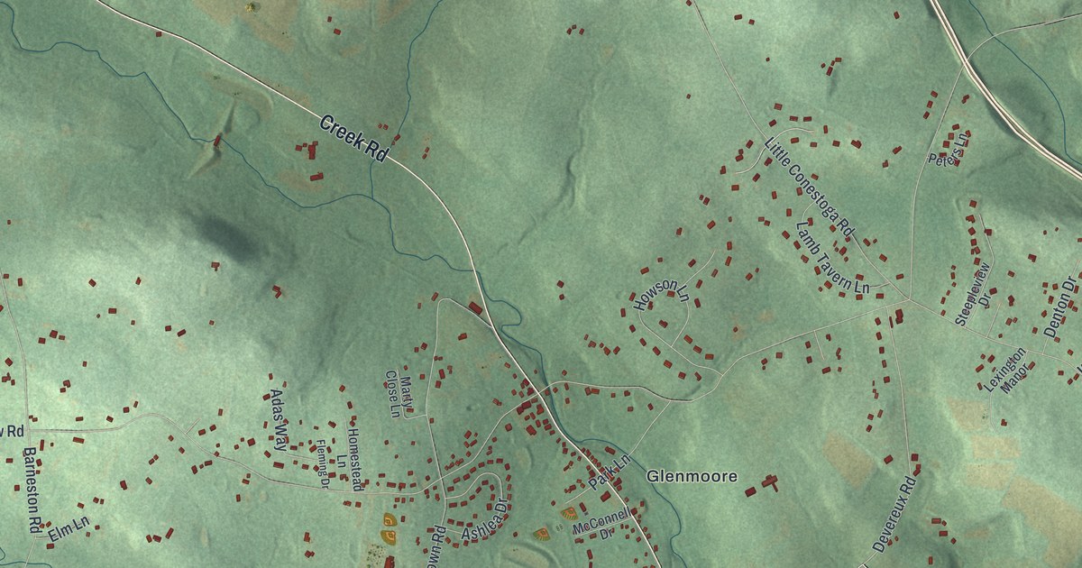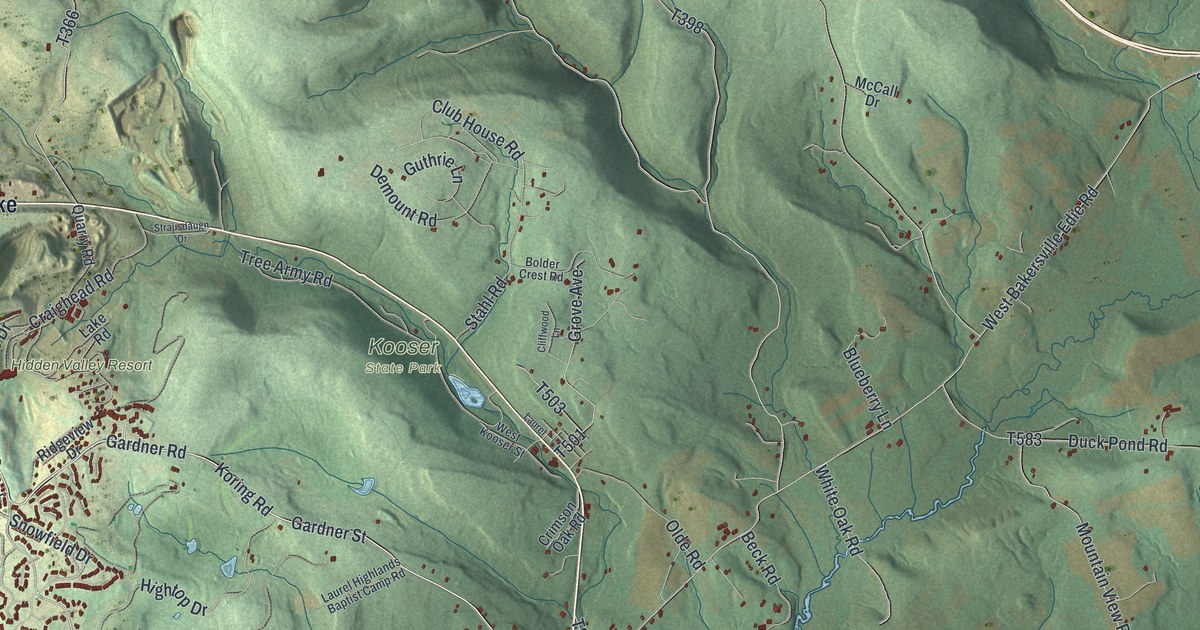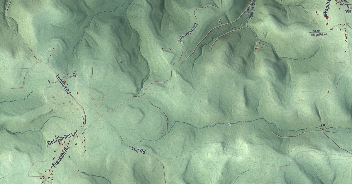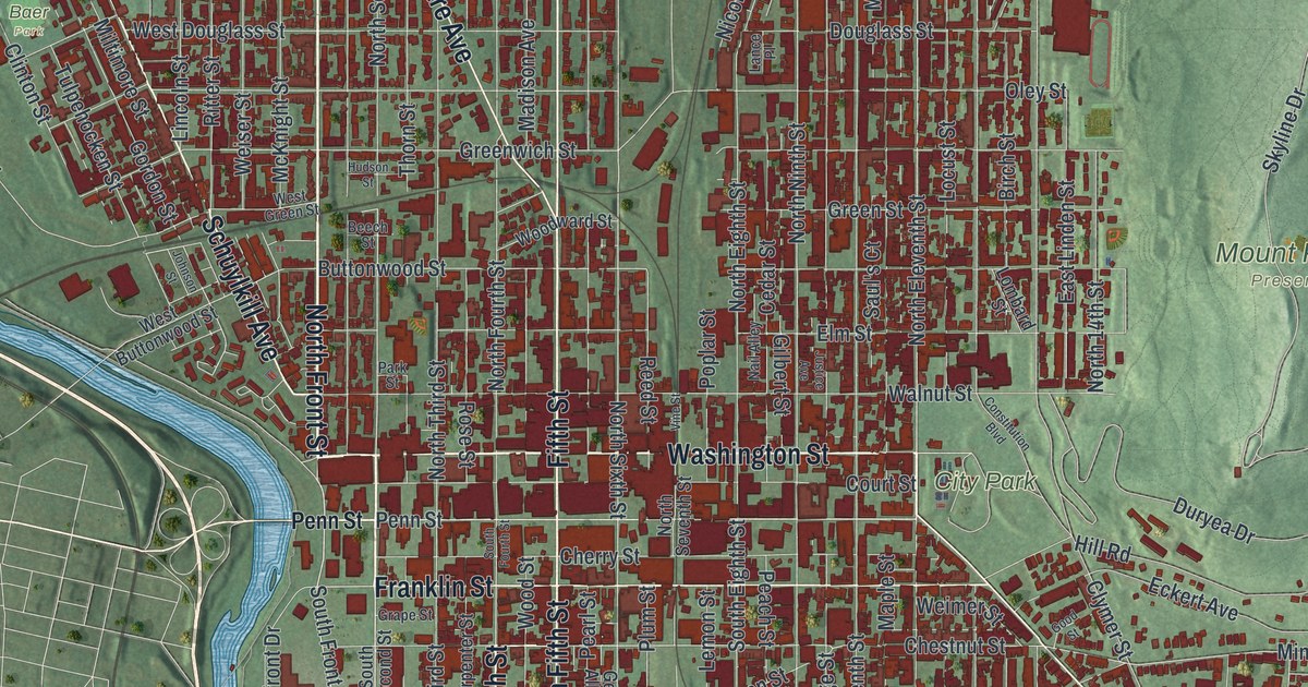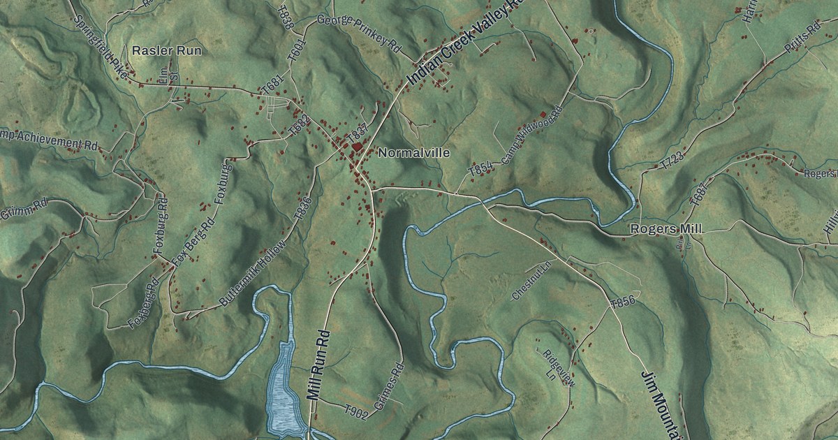
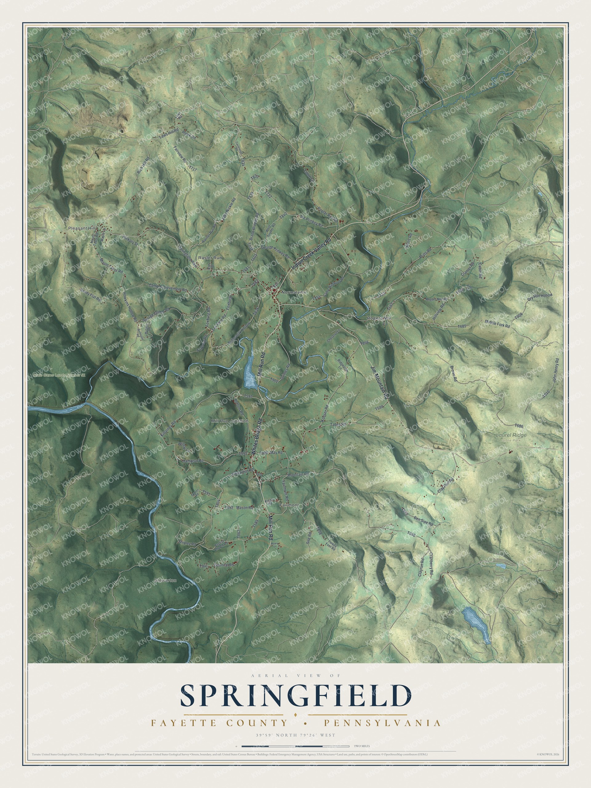
This beautifully detailed map of Springfield, Fayette County, Pennsylvania was created in 2026 using aerial imagery combined with modern topographical, census, street and landmark data. It's a modern aerial view of Springfield, Fayette County in Fayette County, Pennsylvania, that combines modern data with a vintage aesthetic. The roads feature printed names, and if you look closely you can find your exact house accurately shown in its correct location.
Explore an aerial view of Springfield, Fayette County, Pennsylvania
On this map you'll find Stewarton, Pleasant Hill, Laurel Ridge State Park, State Game Lands Number 51, Fairmont, Mill Run Junction, Normalville, Rasler Run, Rogers Mill, Whites Bridge Road, Mill Run Road, Jim Mountain Road, and more. Each red shape is a building, so zoom in on the preview and look for yours.
Here is a piece of Springfield, Fayette County history, in the words of the record. The Internet Archive puts it this way: "For many years his
chief employment was hunting deer and bears, and
he derived considerable profit from the sale of the
skins of these animals and bear's oil."
Springfield, Fayette County is a place in Fayette County. The Census Bureau counted 2,732 people here in 2020.
Take a closer look at the Springfield, Fayette County map
Names on this map
These names are printed on this map.
Places: Stewarton, Pleasant Hill, Laurel Ridge State Park, State Game Lands Number 51, Fairmont, Mill Run Junction, Normalville, Rasler Run and Rogers Mill.
Streets and roads: Whites Bridge Road, Mill Run Road, Jim Mountain Road, Indian Creek Valley Road, Ike Prinkey Road, Clay Run Road, Bottom Road, Clayrun Road, Buttermilk Hollow, Fox Berg Road, Killarney Road, Fairmont Road.
More street names, A to Z
Anderson Road, Baptist Church Road, Ben Sipe Road, Brade Brooks Road, Brown Road, Cabin Road, Camp Achievement Road, Camp Wildwood Road, Cavanaugh Road, Chestnut Lane, Cramer Road, Cranberry Road, Dry Run Hollow, Elm Street, Fairview Road, Foxberg Road, Foxburg, Foxburg Road, George Grimm Road, George Prinkey Road, Grimes Road, Hampton Road, Harris Road, Hawkins Hollow Road, Hawk Road, Hickory Street, Hillview Road, John Henry Road, John Nickle Road, King's Road, Kooser Road, Laure Lane, Laws Hill Road, Laws Road, Maple Lane, Mason Road, May Road, Middle Fork Road, Mountain Road, Mount Tabor Road, Mowry Lane, Mulligan Road, Odonnal Road, Pirl Lane, Poplar Run Road, Pritts Road, Rassler Run Road, Rich Hill Road, Ridge Road, Ridgeview Lane, Rogers Mill Road, Sandy Flat Road, Shipley Road, Sire Road, Skinner Road, Springfield Pike, Stewarton Road, Tabey Road, Turkey Foot Road, West Snyder Road, Willow Lane.
Created by KNOWOL in 2026. The buildings are small red shapes, the roads carry their printed names, and shaded relief shows the shape of the land. The title panel reads "AERIAL VIEW OF SPRINGFIELD FAYETTE COUNTY • PENNSYLVANIA" with 3, 9, °, 5, 9, ', , N, O, R, T, H, , 7, 9, °, 2, 6, ', , W, E, S, T.
It suits a den, a classroom or a front hall, and it makes a gift for anyone with Springfield, Fayette County roots. Open the preview and find the block you know. See sizes and frames for the Springfield, Fayette County map.