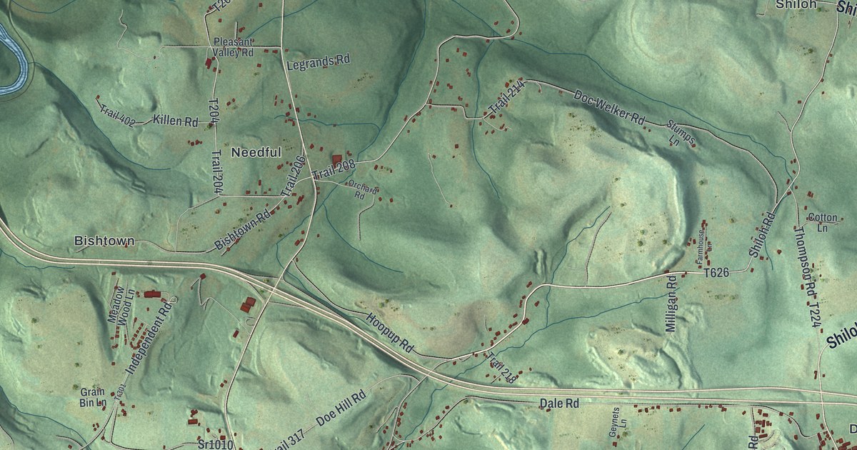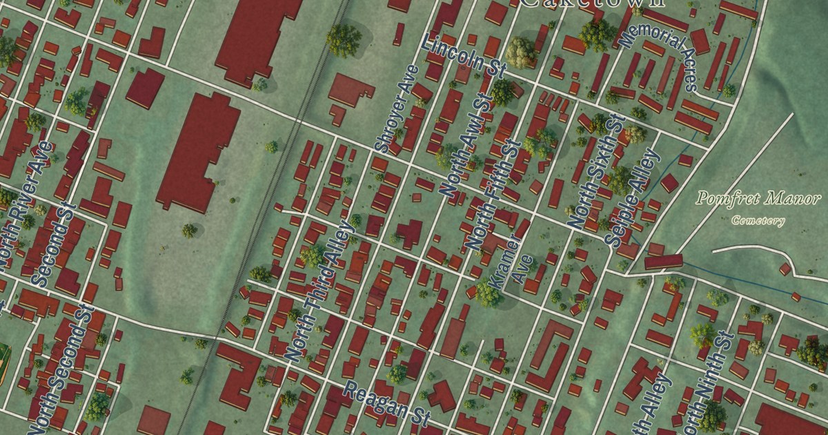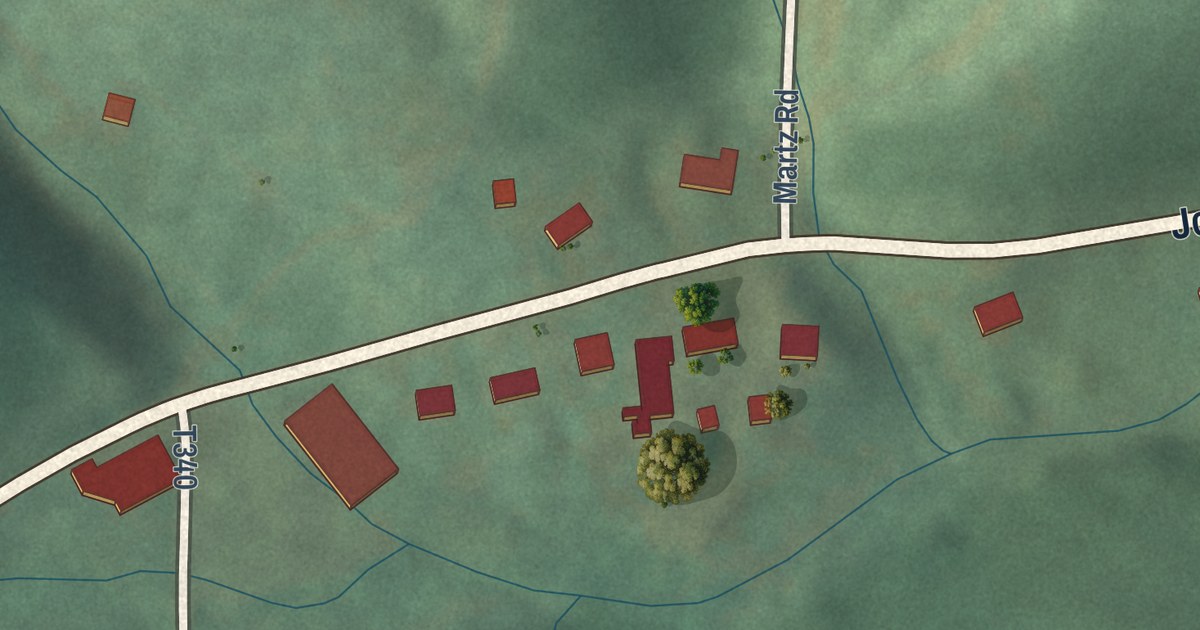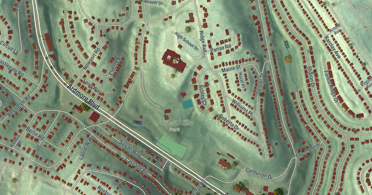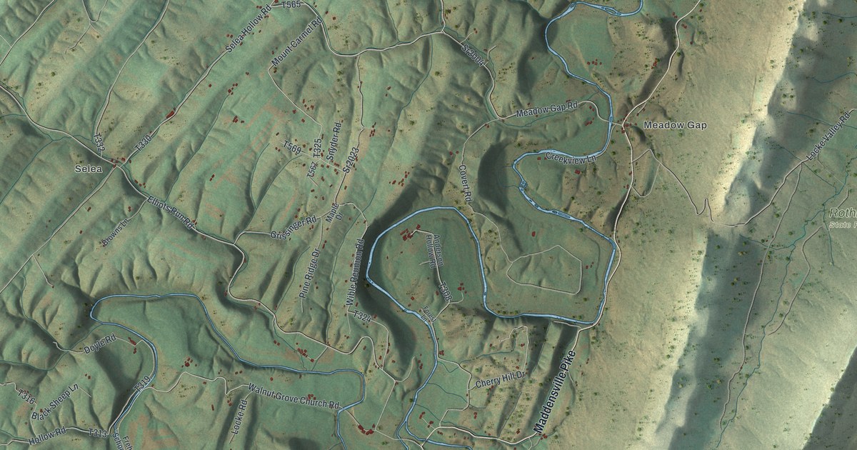
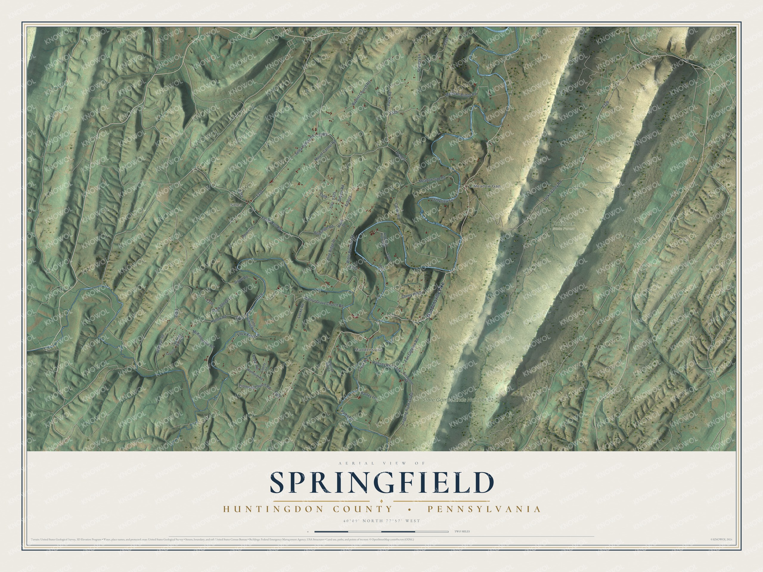
This beautifully detailed map of Springfield, Huntingdon County, Pennsylvania was created in 2026 using aerial imagery combined with modern topographical, census, street and landmark data. It’s a one-of-a-kind view of Springfield that combines accurate data with a vintage aesthetic. The map shows every building in its true location, many of the roads carry their names, and the shaded topographic relief shows the shape of the land.
Explore an aerial view of Springfield, Huntingdon County, Pennsylvania
On the map you’ll find Selea, Maddensville, Meadow Gap, Rothrock State Forest, and State Game Lands Number 81, along with Maddensville Pike, Meadow Gap Road, Selea Hollow Road, McKinleyville Road, and more. If you look closely you can even find your house accurately drawn in its correct location. Zoom in on the preview to look for yours.
Did you know this piece of Springfield, Huntingdon County, Pennsylvania history?
Springfield Township was formed in December 1790 from Shirley and Dublin. Most early settlers came from Maryland. Until they had fortified cabins, pioneers walked in from Fort Littleton with a rifle on one shoulder and an axe on the other. They worked their clearings by day and walked back to the fort, four to ten miles, each night. That’s from the 1883 History of Huntingdon and Blair Counties, Pennsylvania.
Take a closer look at the Springfield, Huntingdon County map
Street and place names on the Springfield, Huntingdon County, Pennsylvania map
These names are printed on the map of Springfield, Huntingdon County, Pennsylvania.
Places: Selea, Maddensville, Meadow Gap, Rothrock State Forest and State Game Lands Number 81.
Streets and roads: Maddensville Pike, Meadow Gap Road, Selea Hollow Road, McKinleyville Road, Hoffman Road, Mount Carmel Road, Walnut Grove Church Road, Fleck Road, Sr2004, Mathews Bridge Road, Elliots Run Road, Logging Road 31080.
More street names, A to Z
Anderson Hollow Road, Baptist Church Road, Barney Lane, Black Sheep Lane, Browns Lane, Cedar Road, Cherry Hill Drive, Covert Road, Creek Road, Creekview Lane, Cromwell Church Road, Doyle Road, Fleck Farm Lane, Forest Lane, Fort Littleton Road, Frehn School Road, Grissinger Road, Hollow Road, Liberty Lane, Locke Road, Locke Valley Road, Maple Drive, Parks Road, Pine Ridge Drive, Ramsey Road, Scenery Lane, Sinaquepe Road, Snyder Road, Squirrel Hill Road, Sr2023, Summer View Circle, Sunset Drive, Wertheim Road, Wible Reunion Road.
See the Springfield, Huntingdon County, Pennsylvania map on a wall
The Springfield, Huntingdon County map as an 18 x 24 inch print in a black frame.

This beautifully detailed map of Springfield, Huntingdon County makes an attractive addition to your office, library, or den, and it can even be used to teach children the geography and history of the area. It also makes a great gift for anyone with Springfield roots. When you’re done exploring, click here to get your copy of the Springfield, Huntingdon County map.