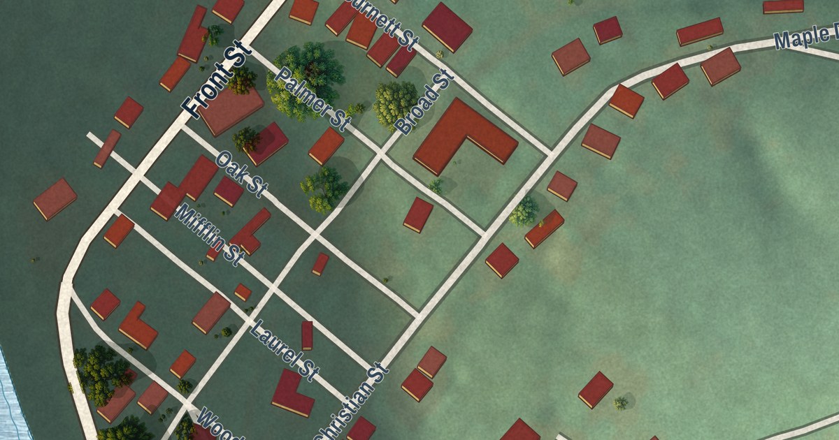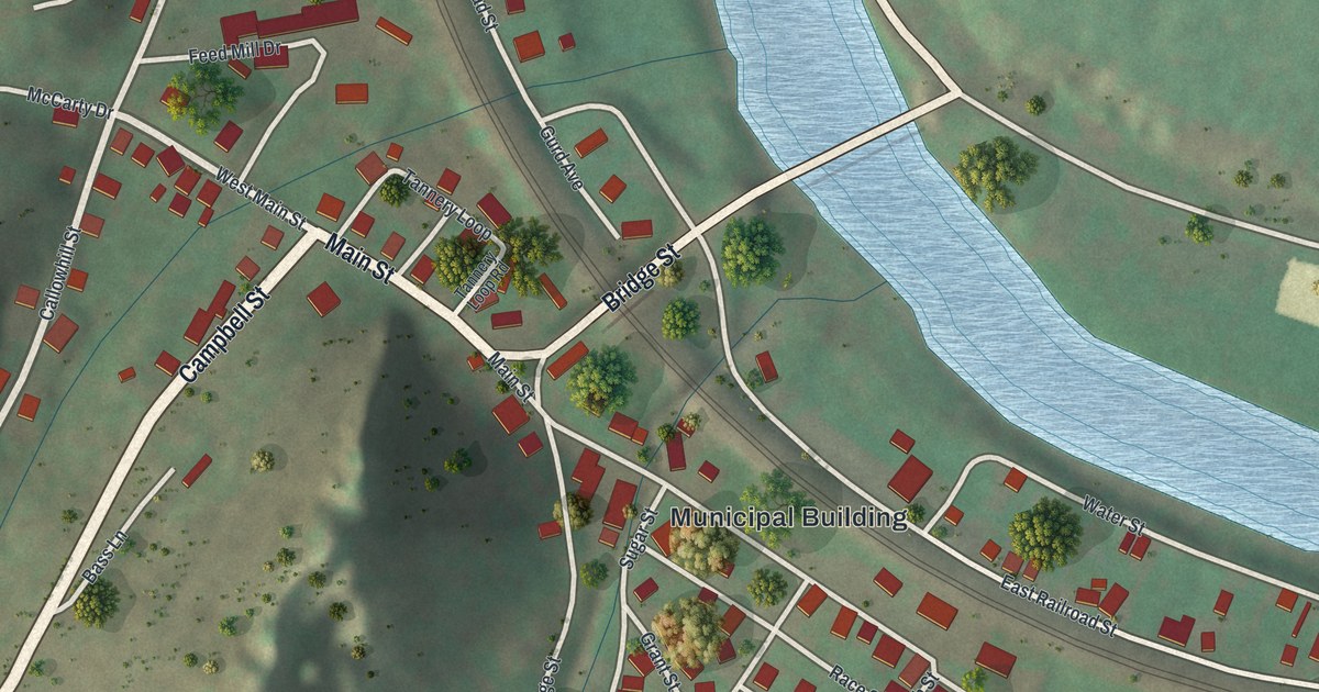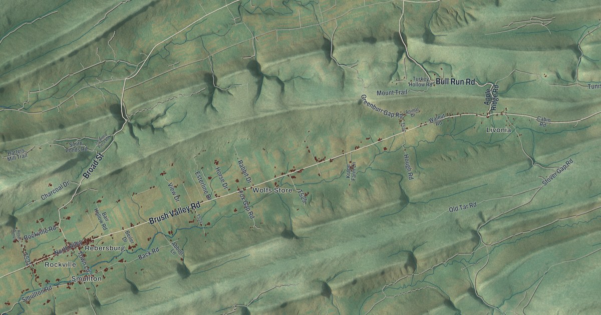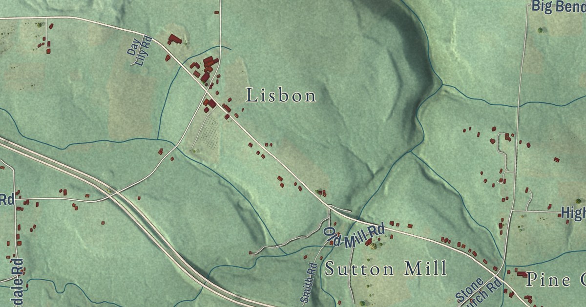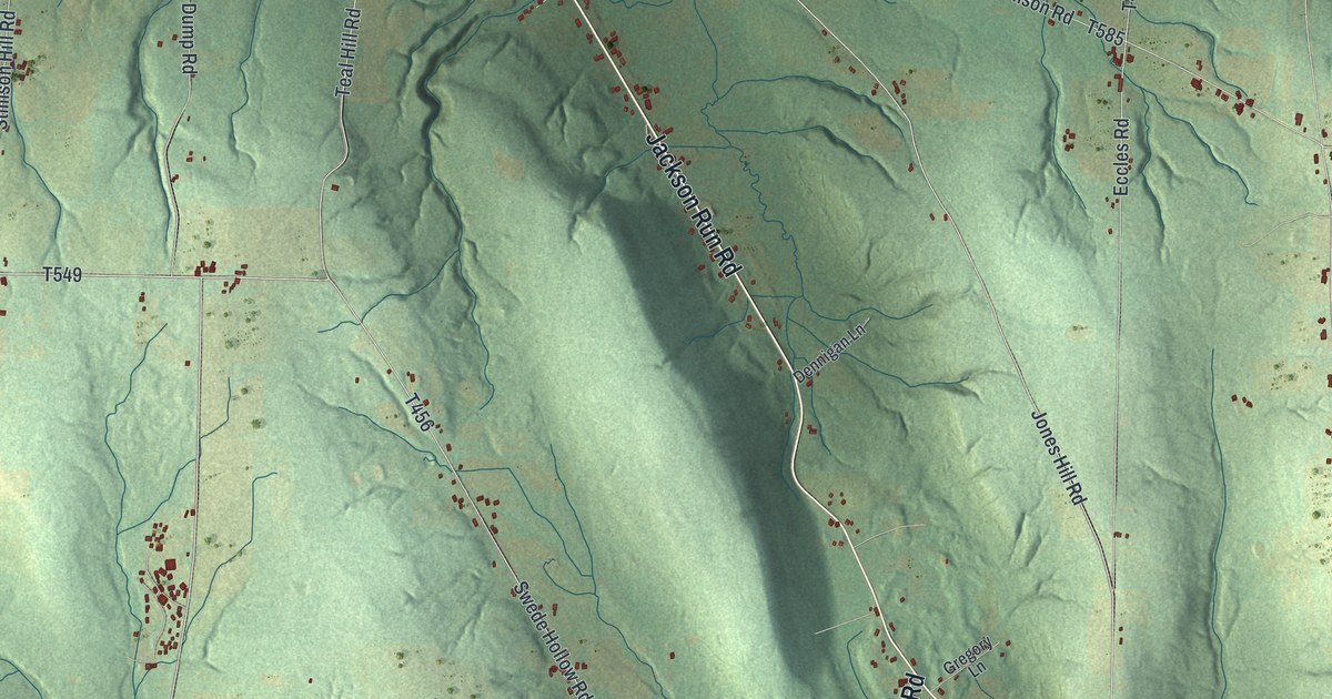
This beautifully detailed map of Sugar Grove Township, Warren County, Pennsylvania was created in 2026 using aerial imagery combined with modern topographical, census, street and landmark data. It’s a one-of-a-kind view of Sugar Grove Township that combines accurate data with a vintage aesthetic. The map shows every building in its true location, many of the roads carry their names, and the shaded topographic relief shows the shape of the land.
Explore an aerial view of Sugar Grove Township, Warren County, Pennsylvania
On the map you’ll find Chandlers Valley and Catlin Hill, along with Jackson Run Road, Big Tree Road, Matthews Run Road, Russell Lander Road, Catlin Hill Road, Stoney Run Road, Stillison Hill Road, Stillwater Road, Teal Hill Road, and more. If you look closely you can even find your house accurately drawn in its correct location. Zoom in on the preview to look for yours.
Did you know this piece of Sugar Grove Township, Warren County, Pennsylvania history?
From the Pennsylvania Historical and Museum Commission: "Prominent antislavery leader from an abolitionist family, she founded the Female Assisting Society and the Ladies' Fugitive Aid Society. Her home here, the Miller Mansion, was a refuge for freedom seekers on the Underground Railroad, and her organizations provided them with food and clothing. She and her son Franklin hosted Frederick Douglass and other abolitionists when they came to speak at the Sugar Grove Convention of 1854."
Take a closer look at the Sugar Grove Township, Warren County map
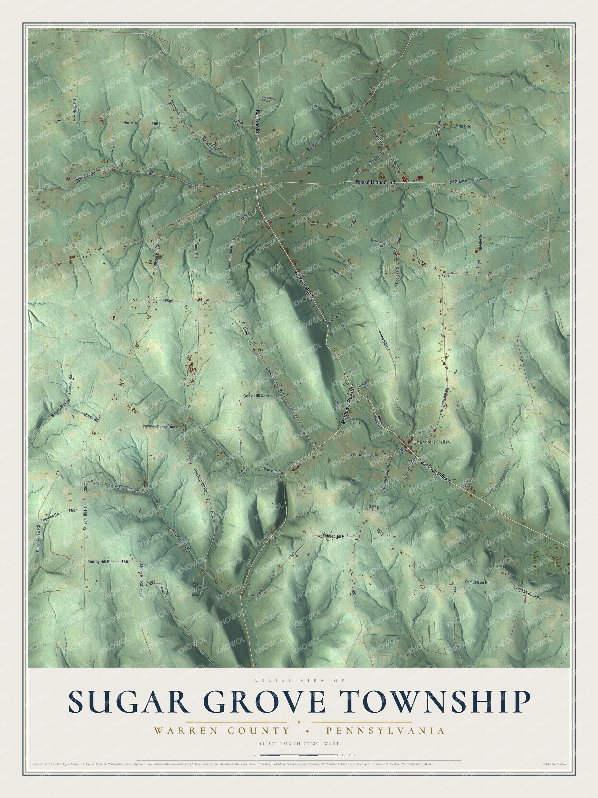
Street and place names on the Sugar Grove Township, Warren County, Pennsylvania map
These names are printed on the map of Sugar Grove Township, Warren County, Pennsylvania.
Places: Chandlers Valley.
Streets and roads: Jackson Run Road, Big Tree Road, Matthews Run Road, Russell Lander Road, Catlin Hill Road, Stoney Run Road, Catlin Hill, Swede Hollow Road, Stillwater Road, Teal Hill Road, Deer Run Road, Jones Hill Road.
More street names, A to Z
Brown Hill Road, Busti Road, Creek Road, Cross Road, Dennigan Lane, Dobson Road, Doyle Lane, Drake Road, Dump Road, Easy Street, Eccles Road, Fiddler Hill Road, Fisher Lane, Galley Lane, Goast Hill, Goast Hill Road, Gregory Lane, Hazeltine Hollow Road, Hessel Valley Road, Hoag Road, Lee Johnson Road, Maple Street, Martin Lane, Matve Lane, Mill Street, Murray Hill Road, Murry Hill Road, North Main Street, North Road, Oil Road, Old State Road, Page Hollow Road, Patchen Hill Road, Penny Bank, Pleasant Trees Lane, Rounds Hill Road, Rowley Road, Samuelson Road, Sanders Road, Sanity Lane, Seneca Lane, Sheldon Road, Stillison Hill Road, Stilson Hill Road, Stoddard Road, Stony Run Road, Sweeney Road, Telic Run Road, Trask Road, Victory Lane, Wilson Road, Yankee Bush Road.
See the Sugar Grove Township, Warren County, Pennsylvania map on a wall
The Sugar Grove Township, Warren County map as an 18 x 24 inch print in a black frame.

This beautifully detailed map of Sugar Grove, Warren County makes an attractive addition to your office, library, or den, and it can even be used to teach children the geography and history of the area. It also makes a great gift for anyone who grew up in Sugar Grove Township or moved away. When you’re done exploring, click here to get your copy of the Sugar Grove, Warren County map.