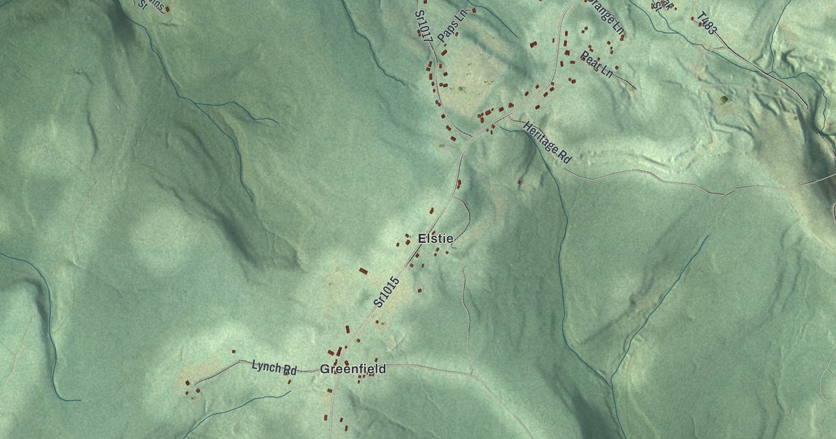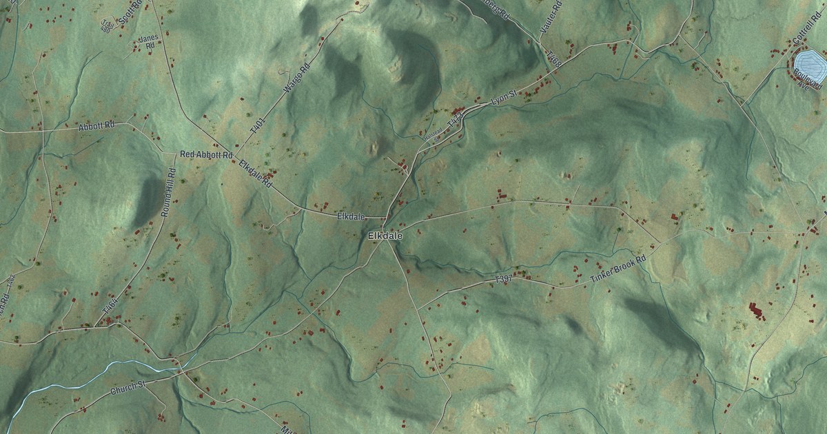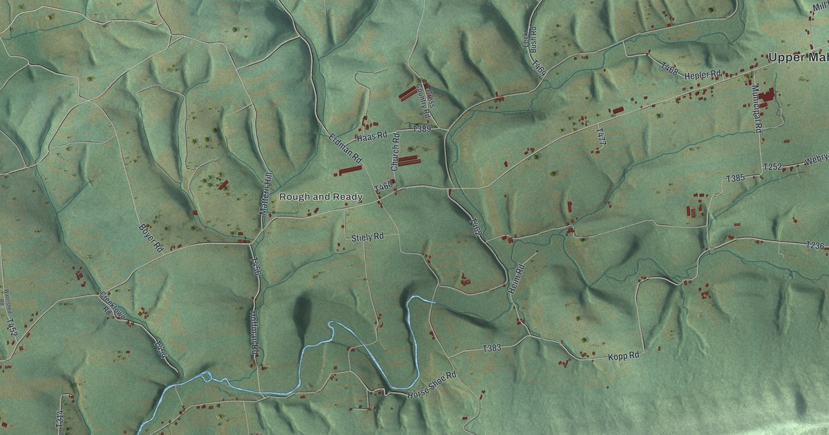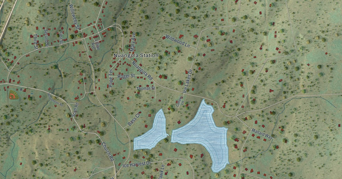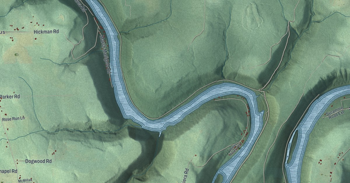
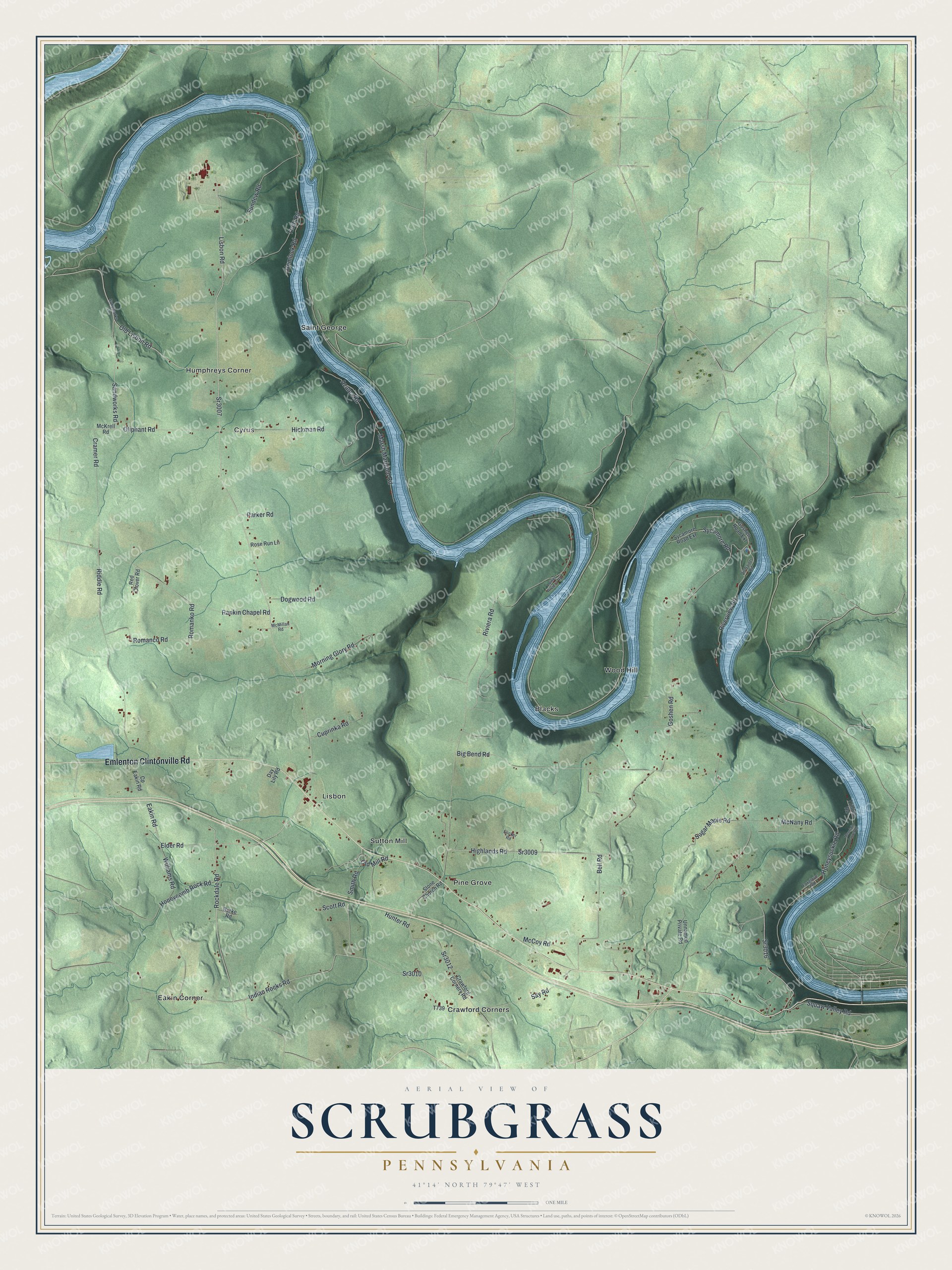
This beautifully detailed map of Scrubgrass, Pennsylvania was created in 2026 using aerial imagery combined with modern topographical, census, street and landmark data. It's a modern aerial view of Scrubgrass in Venango County, Pennsylvania, that combines modern data with a vintage aesthetic. The roads feature printed names, and if you look closely you can find your exact house accurately shown in its correct location.
Explore an aerial view of Scrubgrass, Pennsylvania
On this map you'll find Blacks, Crawford Corners, Cyrus, Eakin Corner, Humphreys Corner, Lisbon, Pine Grove, Saint George, Sutton Mill, Wood Hill, Emlenton Clintonville Road, Sr3007, and more. Each red shape is a building, so zoom in on the preview and look for yours.
Every town has a first chapter, and Scrubgrass is no exception. The Internet Archive puts it this way: "Roland Hughes, farmer, was born June'- 7, 1814, in Scrubgrass township, the son of James Hughes, a native of Maryland and a miller by trade, who settled on Scrubgrass creek in 1806, built a mill, and opened one of the first stores in the county."
Scrubgrass is a place in Venango County. The Census Bureau counted 749 people here in 2020.
Take a closer look at the Scrubgrass map
Names on this map
These names are printed on this map.
Places: Blacks, Crawford Corners, Cyrus, Eakin Corner, Humphreys Corner, Lisbon, Pine Grove, Saint George, Sutton Mill and Wood Hill.
Streets and roads: Emlenton Clintonville Road, Sr3007, Lisbon Road, Rockdale Road, Old Lisbon Road, Elder Road, Sandworks Road, Eakin Road, Sr3010, Oliphant Road, Indian Rocks Road, Honeycomb Rock Road.
More street names, A to Z
All Saints Road, Azalea Road, Bell Road, Big Bend Road, Burke Road, Cp Eakin Road, Cramer Road, Crawford Corners Road, Cuprinka Road, Day Lily Road, Dogwood Road, Elicker Road, Foxglove Road, Goshen Road, Goshen Road Extension, Hemlock Road, Hickman Road, Highlands Road, Honeysuckle Road, Hunter Road, Lower Riviera Road, Marsh Marigold Road, McCoy Road, McKrell Road, McMillan Road, McNany Road, Morning Glory Road, Mountain Laurel Road, Old Mill Road, Parker Road, Rankin Chapel Road, Red Clover Road, Riddle Road, Riverview Road, Riviera Road, Romanco Road, Romanko Road, Rose Run Lane, Sandworks Lane, Say Road, Scott Road, Smith Road, Sr3009, Sr3012, Sr3016, Stone Church Road, Sugar Maple Road, Sundew Road, Sycamore Road, Sycamore Road Extension, Trillium Road, Truitt Road, Unnamed Private Road, Williams Road.
Created by KNOWOL in 2026. The buildings are small red shapes, the roads carry their printed names, and shaded relief shows the shape of the land. The title panel reads "AERIAL VIEW OF SCRUBGRASS PENNSYLVANIA" with 4, 1, °, 1, 4, ', , N, O, R, T, H, , 7, 9, °, 4, 7, ', , W, E, S, T.
Hang it in the hallway, the office or the cabin, or give it to someone who left Scrubgrass and still calls it home. Open the preview and look for a street you know. See sizes and frames for the Scrubgrass map.