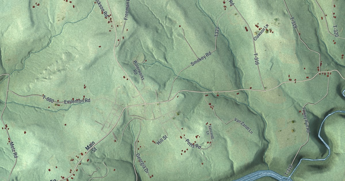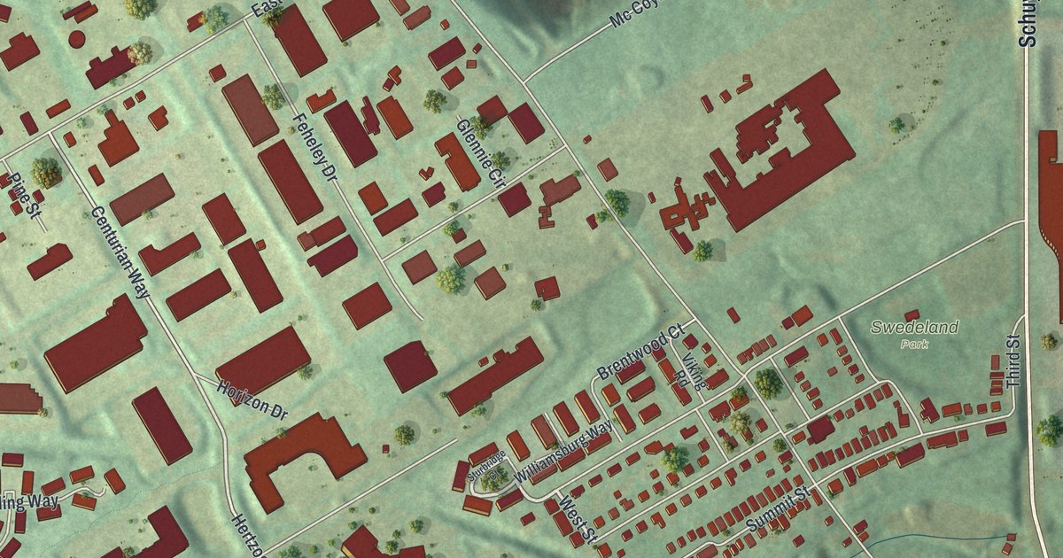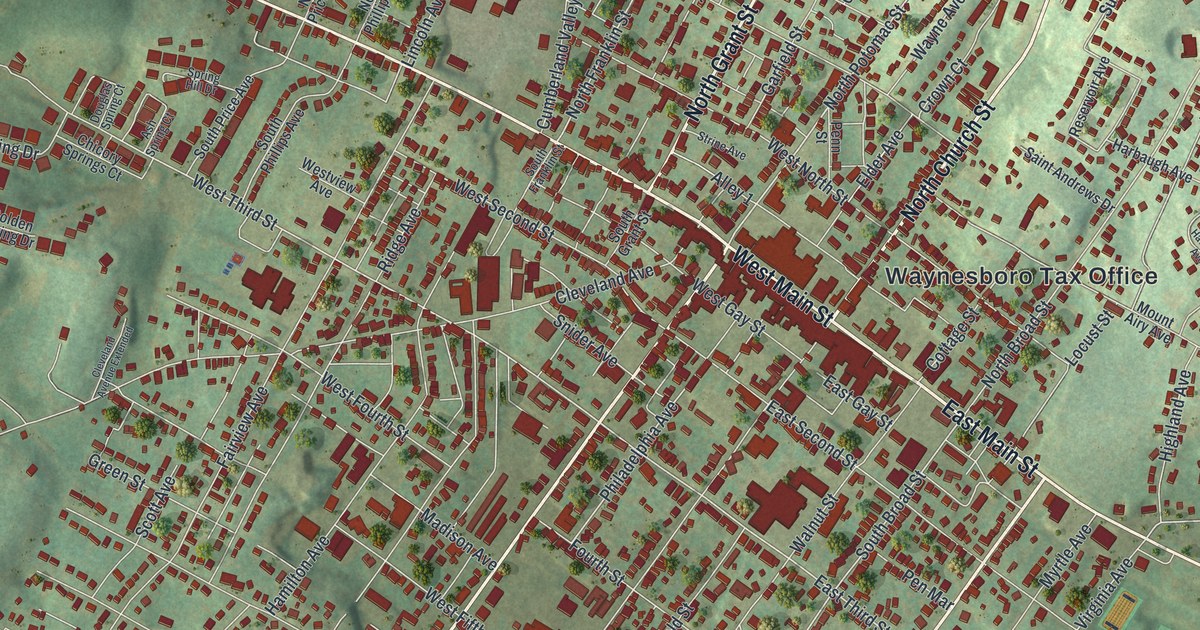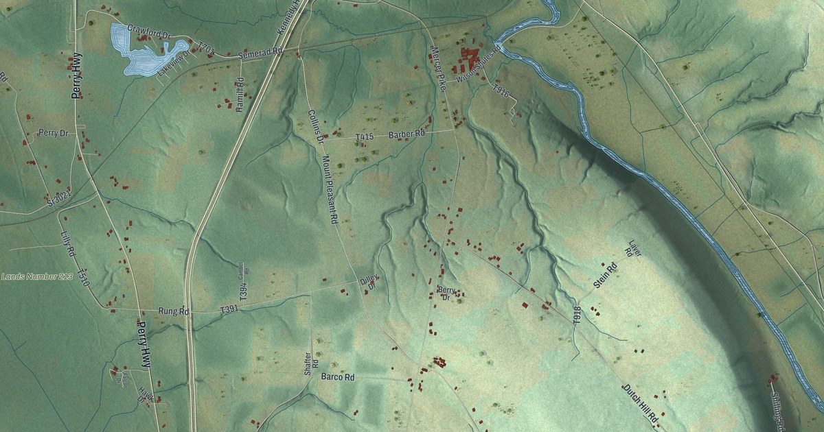
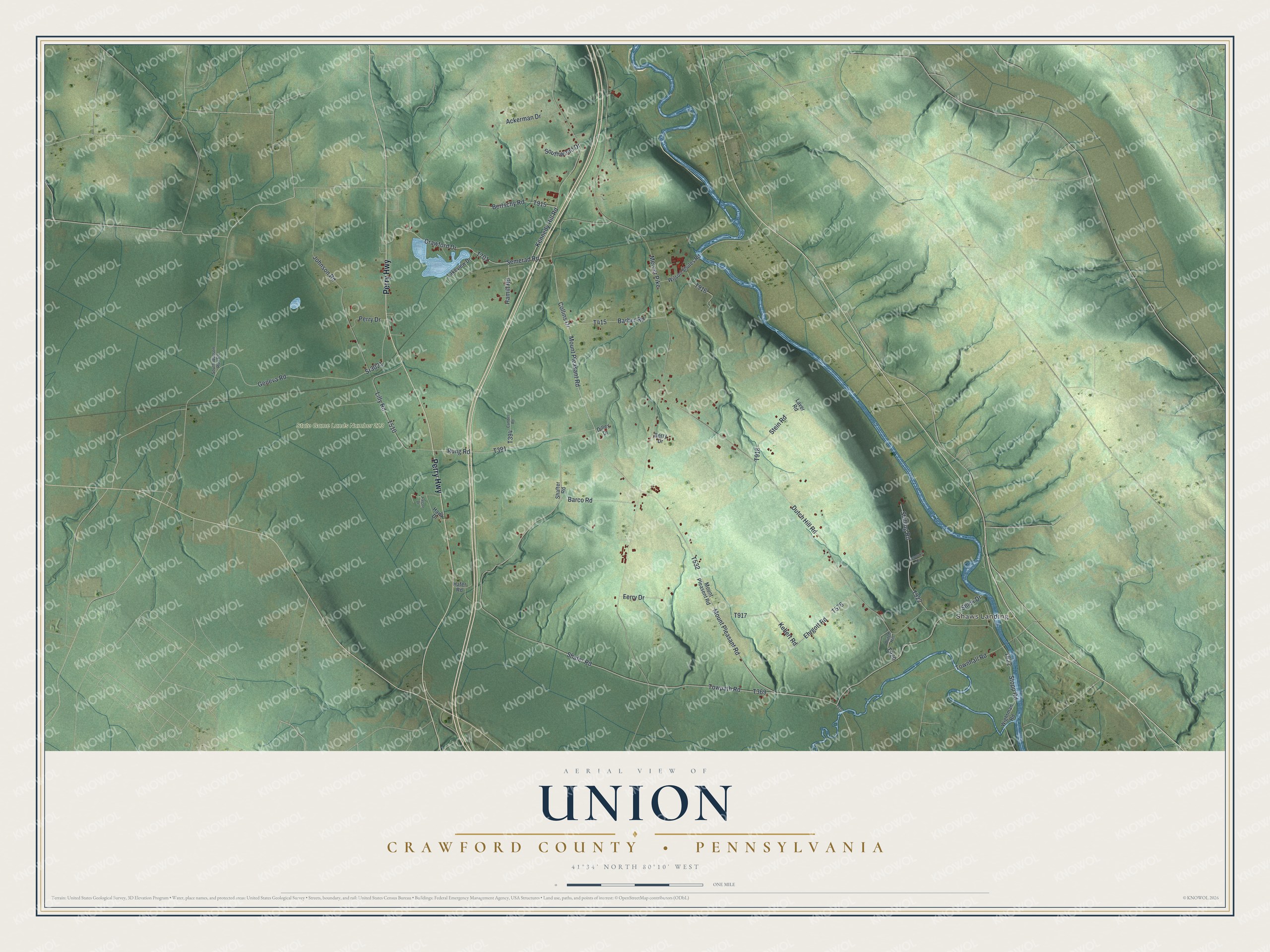
This beautifully detailed map of Union, Crawford County, Pennsylvania was created in 2026 using aerial imagery combined with modern topographical, census, street and landmark data. It’s a one-of-a-kind view of Union that combines accurate data with a vintage aesthetic. The map shows every building in its true location, many of the roads carry their names, and the shaded topographic relief shows the shape of the land.
Explore an aerial view of Union, Crawford County, Pennsylvania
On the map you’ll find Shaws Landing and State Game Lands Number 213, along with Perry Highway, Barco Road, Semerad Road, Shafer Road, Crawford Drive, Towpath Road, Collins Drive, Lilly Road, and more. If you look closely you can even find your house accurately drawn in its correct location. Zoom in on the preview to look for yours.
Did you know this piece of Union, Crawford County, Pennsylvania history?
From the 1885 History of Crawford County, Pennsylvania: "On the 19th day of June, 1867, the court ordered that a vote should be taken July 18, 1867, by the electors of Vernon Township, the largest portion of the proposed new township coming from Vernon, and by the electors of Greenwood and Fairfield, who resided within the boundaries of the new township."
Take a closer look at the Union, Crawford County map
Street and place names on the Union, Crawford County, Pennsylvania map
These names are printed on the map of Union, Crawford County, Pennsylvania.
Places: Shaws Landing and State Game Lands Number 213.
Streets and roads: Perry Highway, Barco Road, Semerad Road, Shafer Road, Crawford Drive, Towpath Road, Collins Drive, Lilly Road, Mercer Pike, Mount Pleasant Road, Dutch Hill Road, Geneva Road.
More street names, A to Z
Ackerman Drive, Barber Road, Berry Drive, Bertschy Road, Cambel Road, Dilley Drive, Dutch Hill, Ehrgott Road, Falcon Drive, Ferry Drive, Hafer Road, Hamill Road, Hawk Drive, Johnson Road, Kebert Road, Kennedy Hill Road, Lakeview Drive, Laver Road, Mount Pleasent Road, Perry Drive, Peterson Drive, Rung Road, Shafter Road, Shick Drive, Shilling Road, South Watson Run Road, Southwood Drive, Sr3021, Stein Road, Stopp Road, Townhall Road, Wightman Road, Wilson Shutes Road.
See the Union, Crawford County, Pennsylvania map on a wall
The Union, Crawford County map as an 18 x 24 inch print in a black frame.

This beautifully detailed map of Union, Crawford County makes an attractive addition to your office, library, or den, and it can even be used to teach children the geography and history of the area. It also makes a great gift for someone who left Union and still calls it home. When you’re done exploring, click here to get your copy of the Union, Crawford County map.