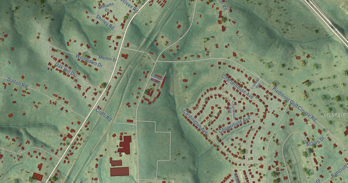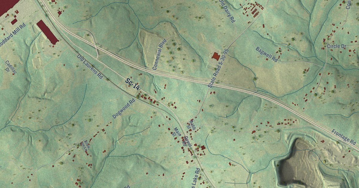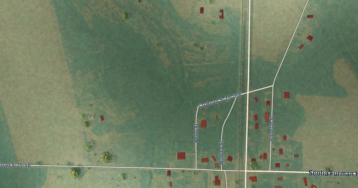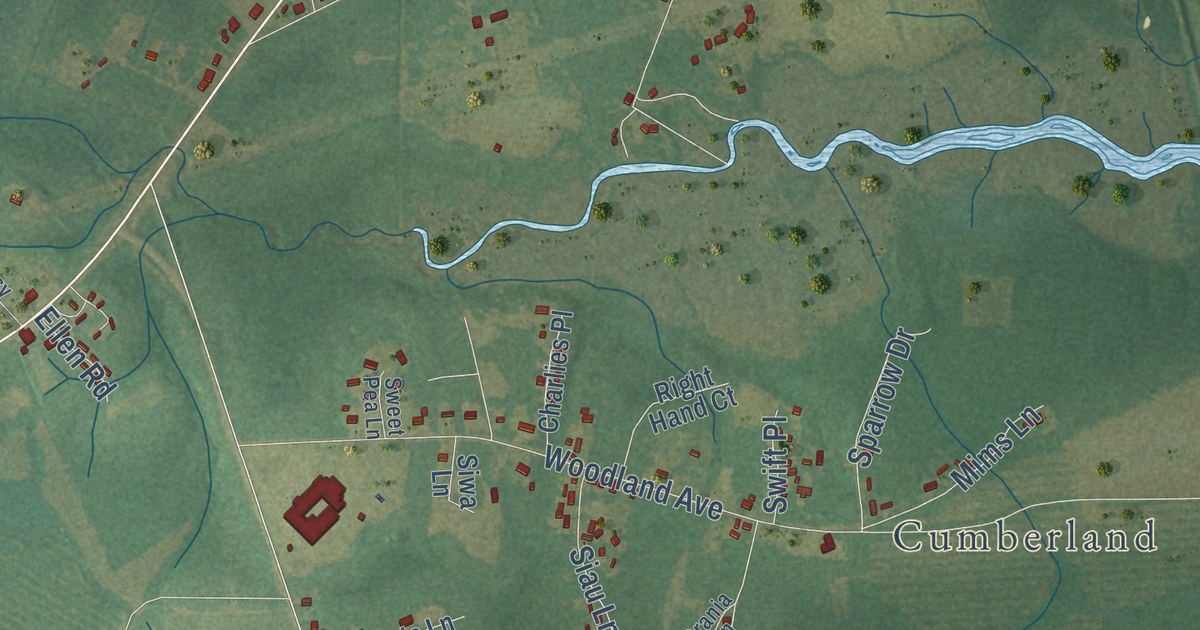
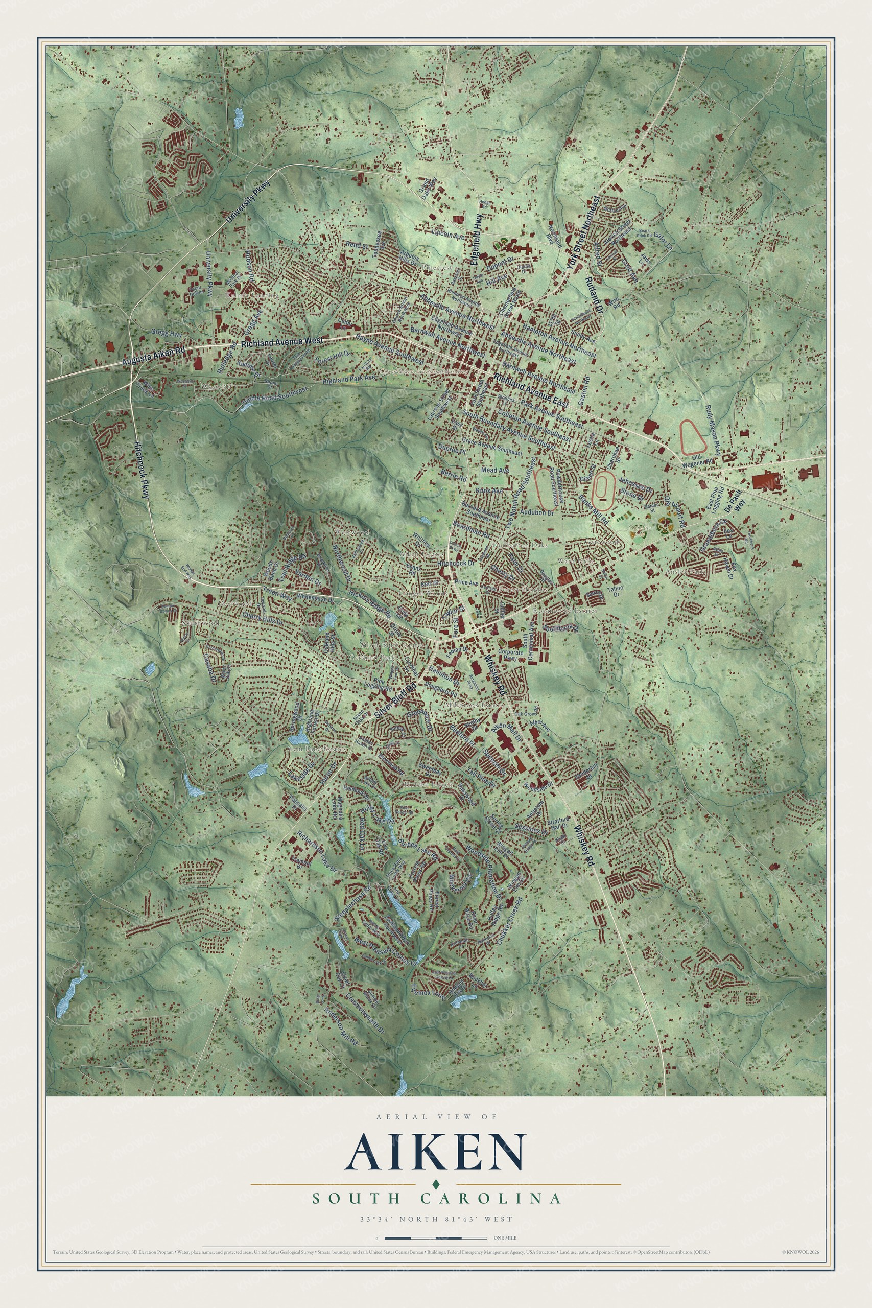
This beautifully detailed map of Aiken, South Carolina was created in 2026 using aerial imagery combined with modern topographical, census, street and landmark data. It’s a one-of-a-kind view of Aiken that combines accurate data with a vintage aesthetic. The map shows every building in its true location, many of the roads carry their names, and the shaded topographic relief shows the shape of the land.
Explore an aerial view of Aiken, South Carolina
On the map you’ll find Crosland Park, Citizens Park, Aiken Estates, Ansley Park, Cardinal Park, Conger Woods, Deerwood, Dogwood Manor, Dunbarton Oaks, Forest Heights, Gatewood, Gem Lake Estates, and more. If you look closely you can even find your house accurately drawn in its correct location. Zoom in on the preview to look for yours.
Did you know this piece of Aiken, South Carolina history?
From Scencyclopedia.org: "The railroad tracks that reached Hamburg from Charleston in 1833 passed through sandy farmland, whose elevation of 515 feet soon lured sweltering Charlestonians in the summer and established Aiken’s image as a health resort."
Take a closer look at the Aiken map
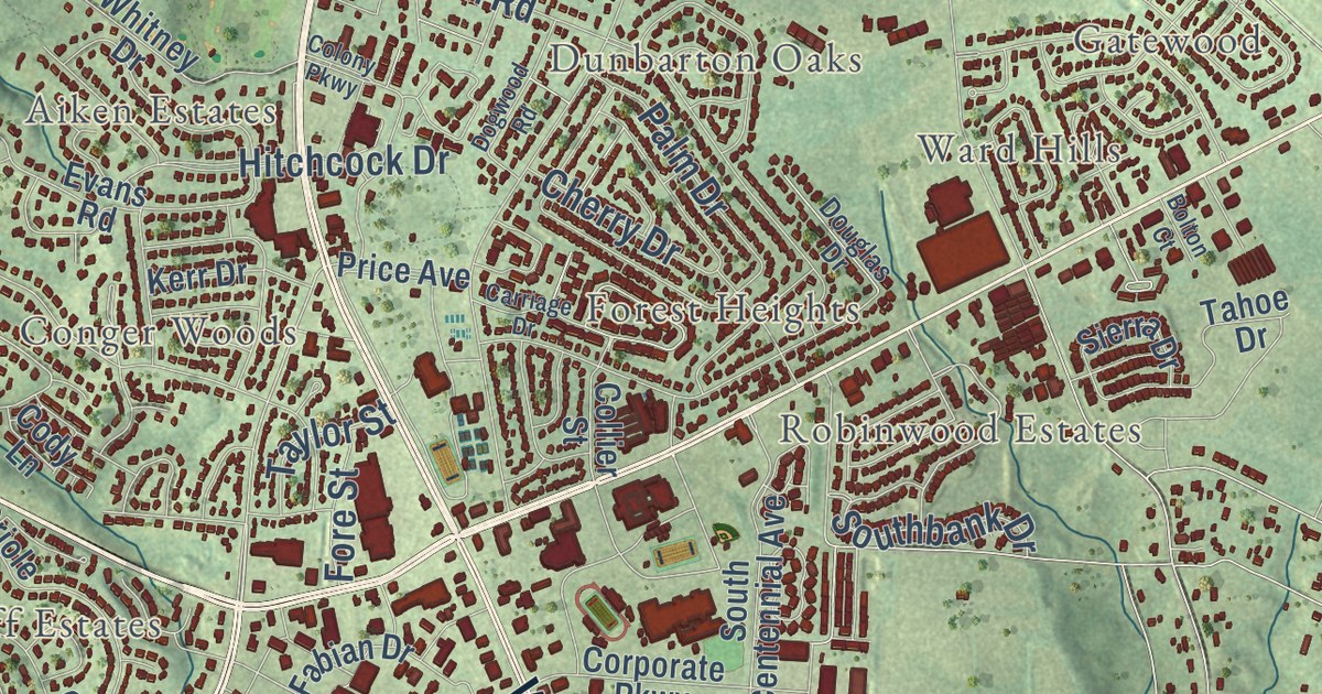
Street and place names on the Aiken, South Carolina map
These names are printed on the map of Aiken, South Carolina.
Places: City of Aiken Municipal Building, Citizens Park, Gem Lake Estates, Westwood, Kalmia Landing, Millbrook Estates, Robinwood Estates, Deerwood, Westcliff, Pinecrest, Cardinal Park, Ward Hills, Hidden Haven, Conger Woods, Southwood, Gatewood, Dunbarton Oaks, Aiken Estates, Ansley Park, Silver Bluff Estates and Forest Heights.
Streets and roads: Richland Avenue West, Hitchcock Parkway, University Parkway, Richland Avenue East, Rutland Drive, York Street Northeast, Whiskey Road, Silver Bluff Road, Edgefield Highway, Augusta Aiken Road, Park Avenue Southeast, Highland Park Avenue.
More street names, A to Z
117th Street, Abbeville Avenue Northeast, Abbeville Avenue Northwest, Aiken Mall Drive, Aldrich Street Northeast, Alfred Street, Alpine Drive, Anderson Mill Road, Antietam Drive, Arbutus Hills Drive, Archdale Drive, Ashepoo Drive, Athol Avenue, Atlas Drive, Audubon Drive, Bald Cypress Court, Banks Mill Road, Barnard Avenue Southeast, Barnwell Avenue Northeast, Barnwell Avenue Northwest, Basswood Drive, Bears Rock Road, Bedford Place, Bellreive Drive, Bergamot Parkway, Berrie Road, Bluet Loop, Boardman Road, Bolton Court, Boxwood Road, Bridlewood Drive, Brookline Drive, Buckhar Lane, Burden Lake Road, Cardinal Drive, Carriage Drive, Casaba Drive, Cedar Lane, Cherokee Street, Cherry Drive, Cherry Hills Drive, Chesterfield Street North, Chukker Creek Road, Church Street Northwest, Claflin Drive, Cody Lane, Colleton Avenue Southeast, Collier Street, Colony Parkway, Commonwealth Drive, Cornish Street, Corporate Parkway, Cottonwood Drive, Croft Avenue, Damon Street, De Pach Way, Dibble Road Southwest, Dogwood Road, Dougherty Road, Douglas Drive, Dupont Drive, Dupree Place, East Pine Logging Road, East Pleasant Colony Drive, East Rollingwood Road, Easy Street, Edgefield Avenue Northeast, Edgefield Avenue Northwest, Edrie Street Northeast, Equinox Loop, Evans Road, Fabian Drive, Fairway Road, Forest Hill Drive, Forest Pines Road, Fore Street, Forrest Pines Road, Fox Haven Drive, Foxhound Run Southwest, Gaston Road, Gator Lane, Gayle Avenue, Gilbert Street, Golden Oak Drive, Grace Avenue Southeast, Grandiflora Circle, Grand Oaks Way, Grassy Creek Lane, Greenwich Drive, Gregg Avenue, Gregg Highway, Hamilton Drive, Hampton Avenue Northeast, Hampton Avenue Northwest, Hayne Avenue Southwest, Hedge Road, Hemlock Drive, Hickory Ridge Road, Hidden Haven Drive, Highland Forest Drive, Hill Avenue, Hitchcock Drive, Hodges Bay Drive, Holley Lake Road, Holley Ridge Road, Hudson Road, Huron Drive, Ilex Lane, Inwood Drive, Jaws Lane, Jehossee Drive, Kemper Downs Drive, Kerr Drive, Khaki Court, Knox Avenue, Lakeside Drive, Laurel Drive, Laurens Street Southwest, Lincoln Avenue, Live Oak Road, Locke Lane, Magnolia Lake Road, Mead Avenue, Medical Park Drive, Mockernut Circle, Morton Avenue, Moultrie Drive, Northland Boulevard, Northwood Drive, Oak Grove Road, Oakland Hills Street, Old Airport Road, Old Wagener Road, Oriole Street, Pacer Downs, Palm Drive, Pascalis Place, Pine Logging Road, Pine Needle Road, Powderhouse Road Southeast, Price Avenue, Quiet Oak Court, Ravenel Street, Redd Street, Red Oak Lane, Rhone Street, Richardson Lake Drive, River Birch Road, Rudy Mason Parkway, Rutledge Road, Sea Grass Lane, Sessions Drive, Seven Oaks Drive, Shelby Drive, Sierra Drive, Sirius Drive, Southbank Drive, South Boundary Avenue Southeast, South Centennial Avenue, Spencer Drive, Spring Stone Court, Springwood Drive, Staubes Lane, Steeplechase Road, Steeple Ridge Road, Stone Drive, Stratford Hall Drive, Suffolk Drive, Summer Winds Circle, Summit Drive, Sundy Avenue, Sweetbay Drive, Tahoe Drive, Tall Pine Drive, Taylor Street, Tennessee Avenue, Three Runs Creek Way, Toolebeck Road, Trail Ridge Road, Tremont Drive, Troon Way, Two Notch Road Southeast, Vanderbilt Drive, Varden Drive, Walker Avenue, Water Oak Drive, Westcliff Street, West Pleasant Colony Drive, White Cedar Way, Whitemarsh Drive, Whitney Drive, Willow Lake Drive, Winged Elm Circle, Winged Elm Court, Winged Foot Drive, Wire Road, Wise Creek Lane, Woods Bend Drive, Woods End Way, Woodside Drive, Woodside Plantation Drive, York Street Southeast.
See the Aiken, South Carolina map on a wall
The Aiken map as an 18 x 24 inch print in a black frame.

This beautifully detailed map of Aiken makes an attractive addition to your office, library, or den, and it can even be used to teach children the geography and history of the area. It also makes a great gift for anyone with Aiken roots. When you’re done exploring, click here to get your copy of the Aiken map.