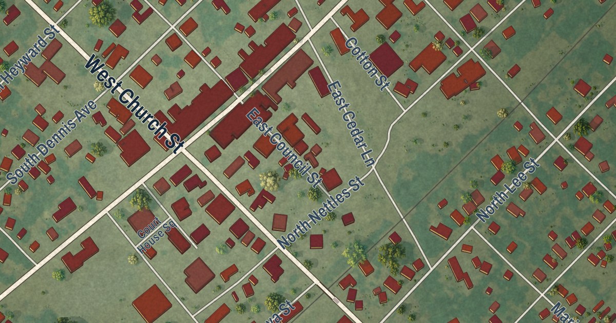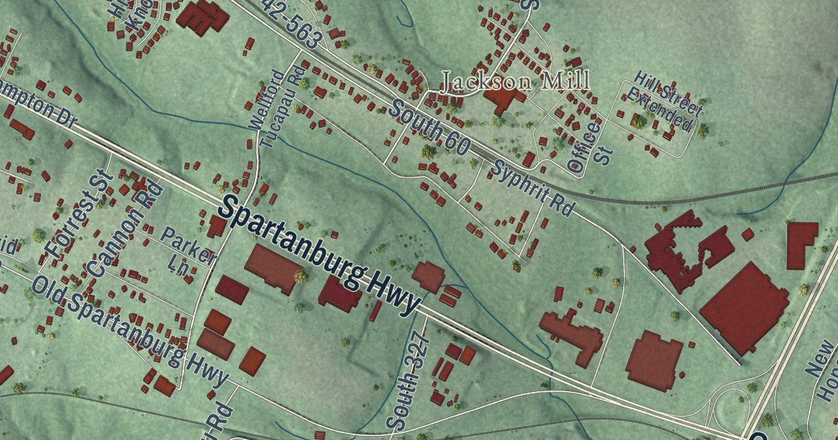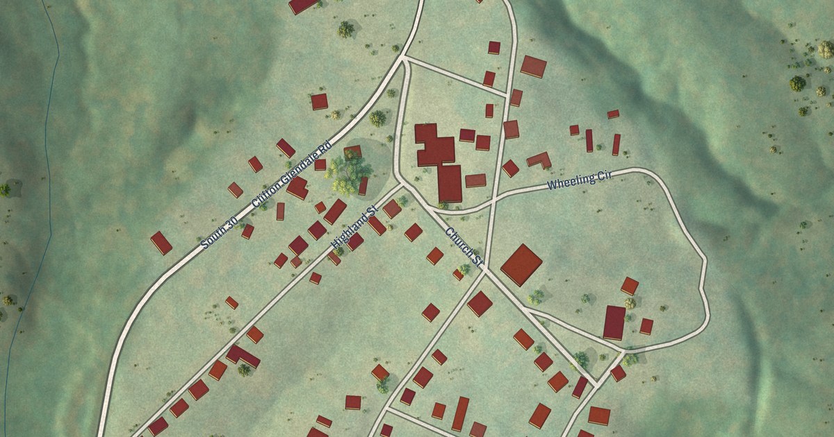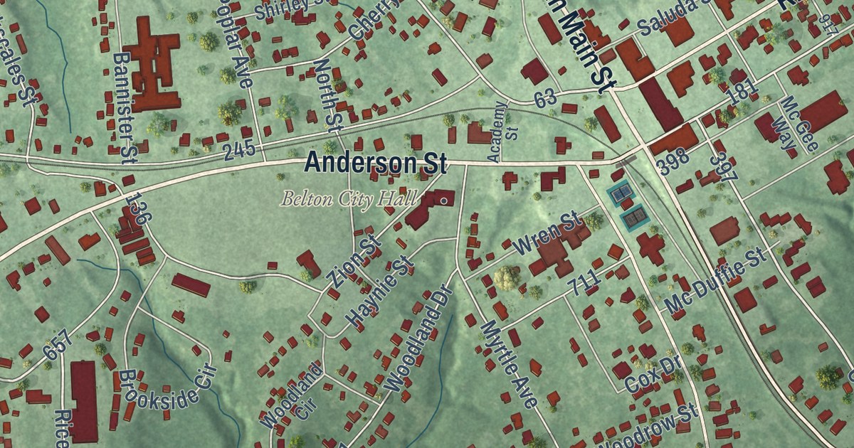
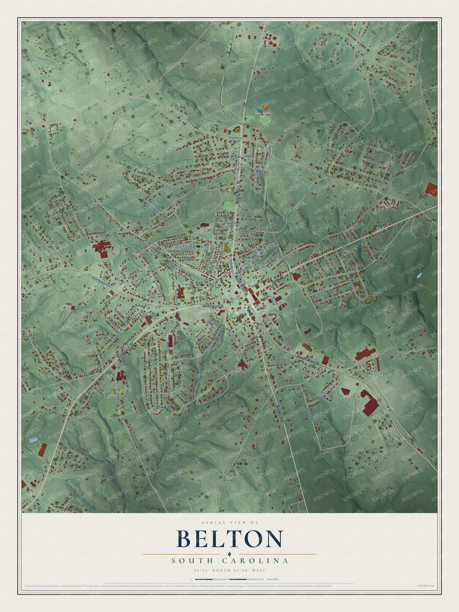
This beautifully detailed map of Belton, South Carolina was created in 2026 using aerial imagery combined with modern topographical, census, street and landmark data. It’s a one-of-a-kind view of Belton that combines accurate data with a vintage aesthetic. The map shows every building in its true location, many of the roads carry their names, and the shaded topographic relief shows the shape of the land.
Explore an aerial view of Belton, South Carolina
On the map you’ll find Belton City Hall and Leda Poore Park, along with North Main Street, South Main Street, Anderson Street, River Street, Brown Avenue, Rice Road, Breazeale Street, Calhoun Road, Campbell Street, Guthrie Avenue, and more. If you look closely you can even find your house accurately drawn in its correct location. Zoom in on the preview to look for yours.
Did you know this piece of Belton, South Carolina history?
From Scencyclopedia.org: "Broadway Presbyterian Church, established in the late 1700s about five miles from where Belton was later established, was relocated to the new town to become its first house of worship."
Take a closer look at the Belton map
Street and place names on the Belton, South Carolina map
These names are printed on the map of Belton, South Carolina.
Places: Belton City Hall and Leda Poore Park.
Streets and roads: North Main Street, South Main Street, Anderson Street, River Street, Brown Avenue, Rice Road, Campbell Street, Breazeale Street, Oneal Street, Broyles Avenue, Calhoun Road, Guthrie Avenue.
More street names, A to Z
Academy Street, Bannister Street, Berry Court, Blair Mill Road, Blair Road, Blake Dairy Road, Blake Street, Blue Ridge Avenue, Boyce Circle, Briarwood Drive, Brookforest Drive, Brookside Circle, Brookside Drive, Broome Street, Brown Street, Calvary Drive, Carroll Lane, Chandler Drive, Cherokee Road, Cherry Street, Cheshire Drive, Church Street, Cinder Hill, Clinkscales Street, Cox Drive, Cox Street, Crescent Avenue, Davenport Street, Davis Street, Dean Street, Dogwood Drive, Eastview Street, Edgewood, Ellison Street, Elm Street, Fleetwood Drive, Forest Lane, Geer Street, Glendale Street, Glenwood Street, Glenwood Street Extended, Green Street, Griffin Avenue, Guthrie Road, Hand Drive, Harris Avenue, Haynie Parkway, Haynie Street, Hazel Drive, Herd Avenue, Hiawatha Drive, Hillcrest Avenue, Holloway Boulevard, Holly Street, Holmes Street, Horton Avenue, Horton Lane, Huffman Street, Hunter Drive, Hunter Street, Jackson Street, Kay Street, Kelly Street, King Street, Lakeview Circle, Laurel Lane, Lewis Street, Little Street, Lowe Street, Mahaffey Street, Major Street, Maple Street, Martha Latimer Drive, Mattison Drive, McCoy Street, Mc Duffie Street, Mc Gee Street, Mc Gee Way, Meeks Drive, Meeks Road, Murdock Road, Myrtle Avenue, North Street, Oak Drive, Overbrook Drive, Palmetto Parkway, Parkridge Circle, Park Road, Pelzer Street, Pineforest Drive, Pine Forest Drive, Pine Street, Pope Drive, Poplar Avenue, Ramsdale Street, Redwood Drive, Rice Circle, Rice Street, Ridgecrest Drive, Robin Court, S04-924, Sa 571, Saluda Street, Shields Street, Shirley Street, Short Street, Smythe Street, Springdale Drive, Spring Drive, State Road S-4-205, State Road S-4-266, State Road S-4-598, Stevenson Drive, Stringer Street, Sunset Drive, Thompson Street, Timberland Drive, Timberlane Drive, Tollison Street, Turner Street, Watkins Street, Wayside Drive, Westwood Drive, Woodland Circle, Woodland Drive, Woodrow Street, Woodward Street, Wren Street, Zion Street.
See the Belton, South Carolina map on a wall
The Belton map as an 18 x 24 inch print in a black frame.

This beautifully detailed map of Belton makes an attractive addition to your office, library, or den, and it can even be used to teach children the geography and history of the area. It also makes a great gift for anyone with Belton roots. When you’re done exploring, click here to get your copy of the Belton map.