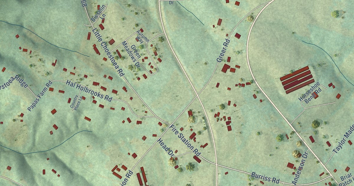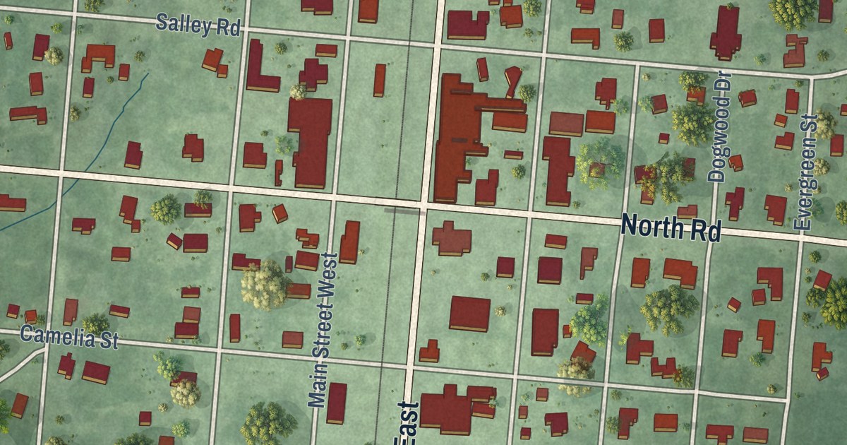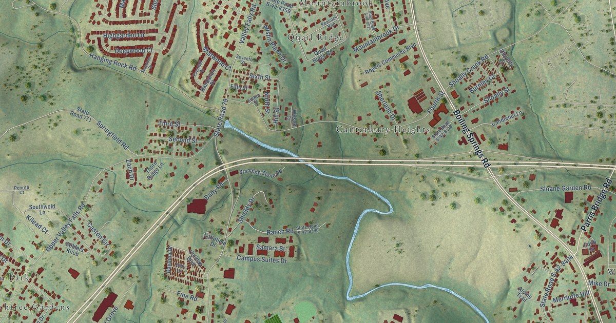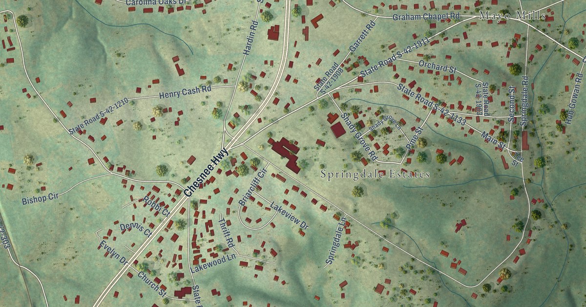
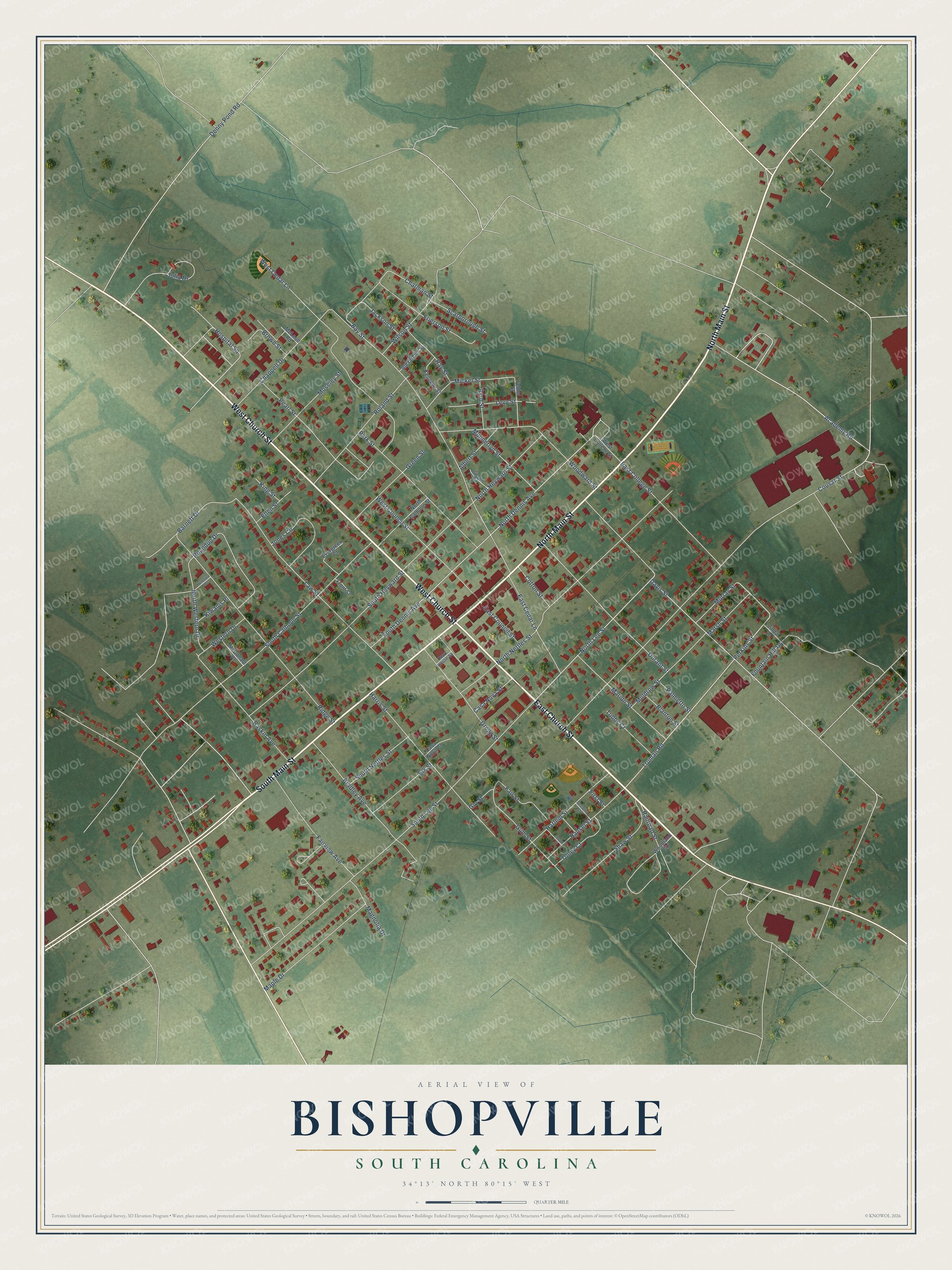
This beautifully detailed map of Bishopville, South Carolina was created in 2026 using aerial imagery combined with modern topographical, census, street and landmark data. It’s a one-of-a-kind view of Bishopville that combines accurate data with a vintage aesthetic. The map shows every building in its true location, many of the roads carry their names, and the shaded topographic relief shows the shape of the land.
Explore an aerial view of Bishopville, South Carolina
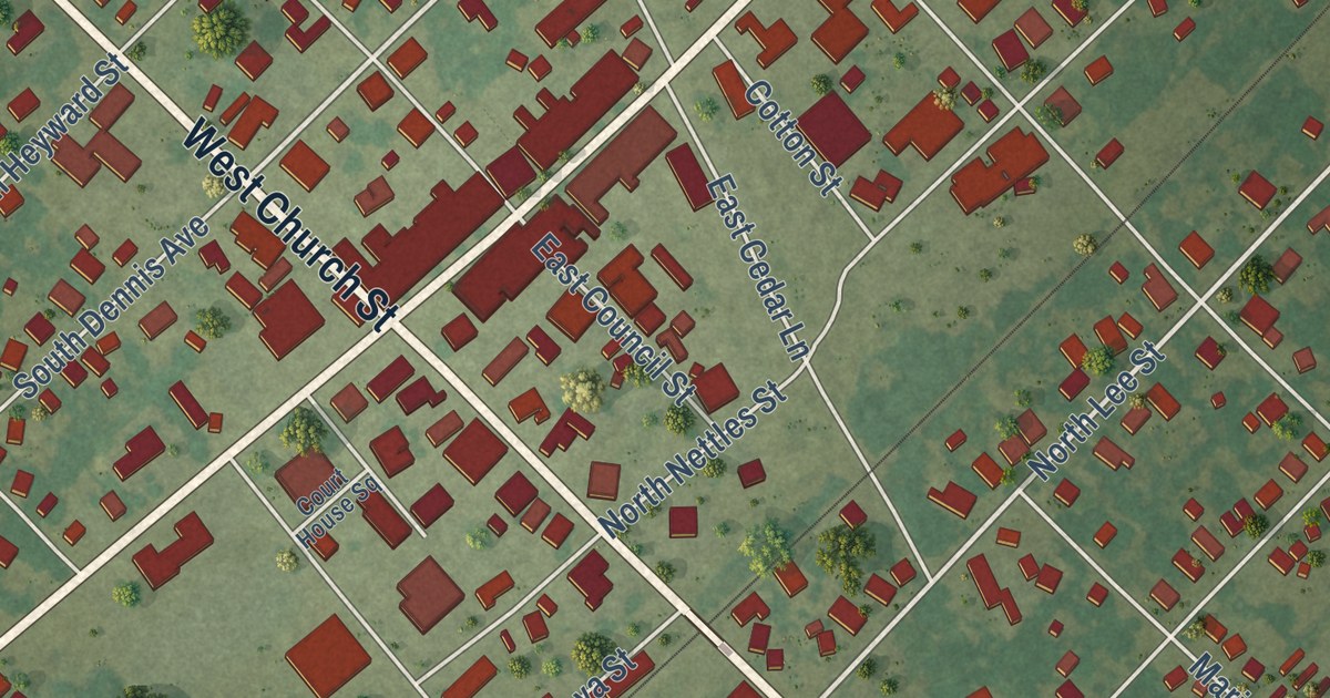
On the map you’ll find West Church Street, North Main Street, South Main Street, East Church Street, Cousar Street, Academy Road, Perkins Street, Davis Street, Truman Road, North Lee Street, North Dennis Avenue, East College Street, and more. If you look closely you can even find your house accurately drawn in its correct location. Zoom in on the preview to look for yours.
Did you know this piece of Bishopville, South Carolina history?
From Scencyclopedia.org: "The Seaboard Air Line extended its main line from McBee to Bishopville in 1887, and the town was incorporated the following year."
Take a closer look at the Bishopville map
Street names on the Bishopville, South Carolina map
These names are printed on the map of Bishopville, South Carolina.
Streets and roads: West Church Street, North Main Street, South Main Street, East Church Street, Cousar Street, Academy Road, Perkins Street, East College Street, Truman Road, North Lee Street, North Dennis Avenue, Davis Street.
More street names, A to Z
Albert Street, Alexander Street, Barnett Drive, Baskin Avenue, Bay Street, Blanton Street, Bradley Avenue, Brown Street, Byrd Street, Casa Nova Court, Casa Nova Street, Chappell Drive, Chatman Street, Cotton Street, Court House Square, Denny Pond Road, Durant Street, East Cedar Lane, East Council Street, Elk Street, Ellen Street, Evergreen Court, Fair Street, Fairview Avenue, Felder Street, First Street, Fountain Hill Drive, Fourth Street, Frierson Street, Front Street, Gibson Road, Gin Street, Green Street, Gregg Street, Gum Street, Hansel Street, Harlem Street, Harris Street, Hereford Drive, Hospital Square, Jackson Street, Jones Circle, Julia Drive, Kennedy Street, King Street, Kiwanis Place, Law Street, Levy Street, Linda Lane, Magnolia Drive, Maple Drive, Marion Street, Marsh Street, McDonald Place, McLeod Road, Mickel Street, Moseley Street, Muldrow Street, Munnerlyn Street, Murray Street, North Calhoun Street, North Heyward Street, North Nettles Street, North Western Drive, Palmetto Street, Park Street, Pearl Street, Railroad Street, Ray Street, Ridge Street, Roland Street, Roundup Drive, Scarborough Street, Second Street, Shaw Street, South Calhoun Street, South Dennis Avenue, South Heyward Street, South Lee Street, South Nettles Street, Toney Court, Tubbs Court, West Cedar Lane, West College Street, West Council Street, Western Drive, Wilson Street, Woodland Circle, Woodward Street.
See the Bishopville, South Carolina map on a wall
The Bishopville map as an 18 x 24 inch print in a black frame.

This beautifully detailed map of Bishopville makes an attractive addition to your office, library, or den, and it can even be used to teach children the geography and history of the area. It also makes a great gift for anyone who grew up in Bishopville or moved away. When you’re done exploring, click here to get your copy of the Bishopville map.