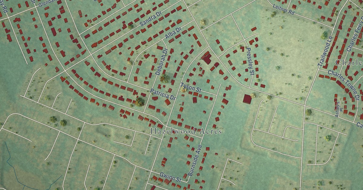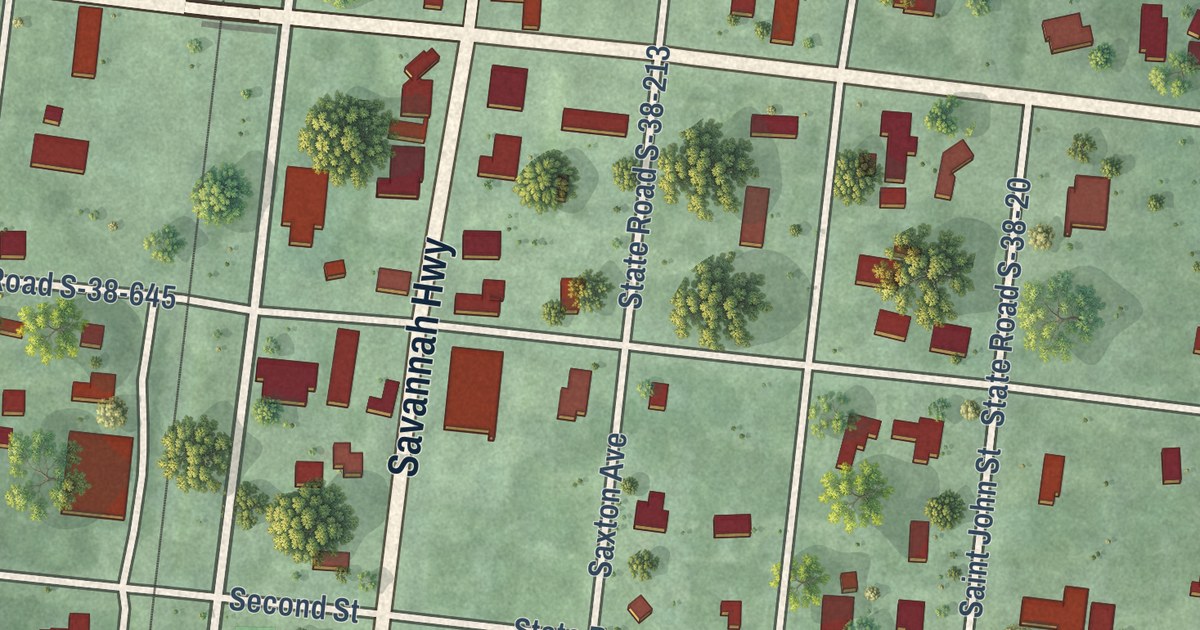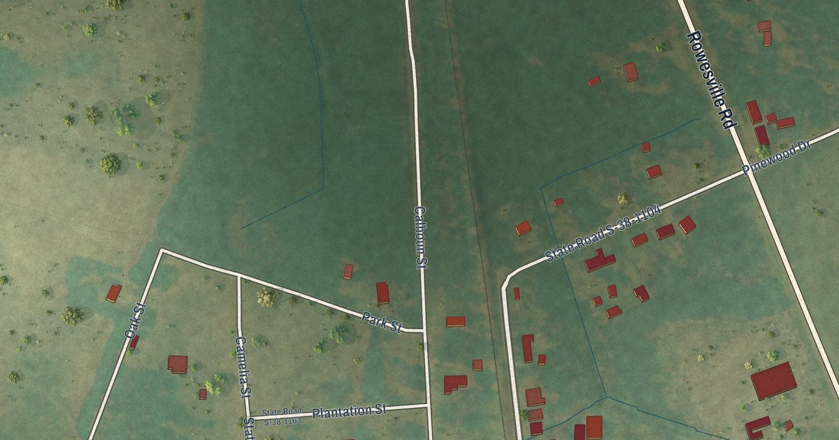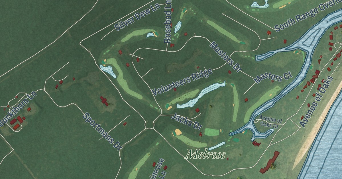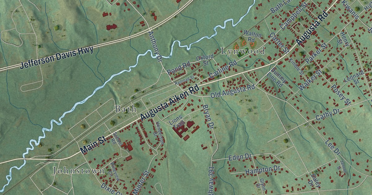
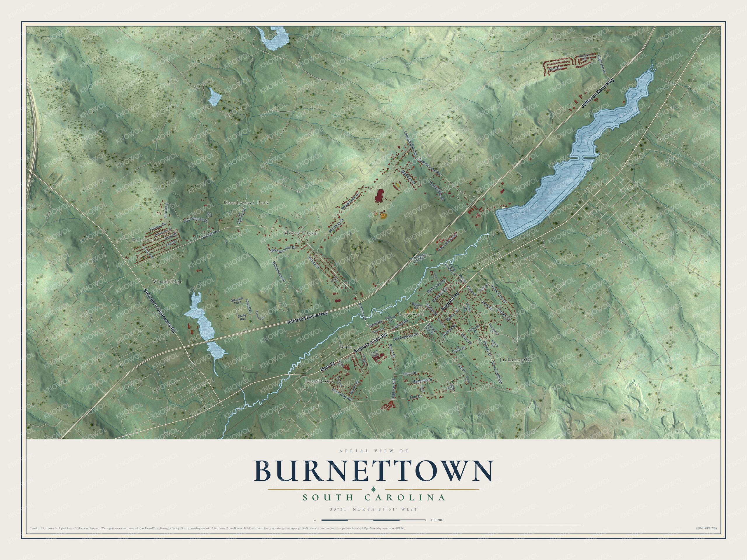
This beautifully detailed map of Burnettown, South Carolina was created in 2026 using aerial imagery combined with modern topographical, census, street and landmark data. It’s a one-of-a-kind view of Burnettown that combines accurate data with a vintage aesthetic. The map shows every building in its true location, many of the roads carry their names, and the shaded topographic relief shows the shape of the land.
Explore an aerial view of Burnettown, South Carolina
On the map you’ll find Belclear, Bath, Heathwood Park, Horse Creek, Jacksonville, Johnstown, Lynwood, and Woodridge, along with Augusta Road, Main Street, Augusta Aiken Road, Belvedere-Clearwater Road, and more. If you look closely you can even find your house accurately drawn in its correct location. Zoom in on the preview to look for yours.
Did you know this piece of Burnettown, South Carolina history?
From Scencyclopedia.org: "Incorporated in 1941, Burnettown is located in the Horse Creek Valley of Aiken County."
Take a closer look at the Burnettown map
Street and place names on the Burnettown, South Carolina map
These names are printed on the map of Burnettown, South Carolina.
Places: Belclear, Bath, Heathwood Park, Horse Creek, Jacksonville, Johnstown, Lynwood and Woodridge.
Streets and roads: Augusta Road, Main Street, Augusta Aiken Road, Belvedere-Clearwater Road, Jefferson Davis Highway, Duncan Road, Anthony Drive, Old Augusta Road, Pond Road, Cathy Drive, Bennet Street, Jerry Road.
More street names, A to Z
Ambassador Drive, Bandy Drive, Bannock Circle, Bath Lake Road, Breeze Hill Road, Brookstone Drive, Bryan Drive, Burnett Street, Campbell Street, Camp Kiwanis Lane, Carline Road, Carr Circle, Carter Street, Central Avenue, County Highway 65, County Highway 97, Daley Drive, Darby Run, Dixie Clay Road, Dummy Line Road, Eden Drive, Emerald Drive, Farfour Lane, Fioli Circle, First Avenue, Flint Drive, Glasgow Pass, Glynn Drive, Gray Catbird Way, Hampton Drive, Harris Drive, Henderson Street, Henry Street, Highland Drive, High Street, Highway 391, Honors Circle, Huber Clay Road, Irene Street, Janson Street, Kimble Street, Kiwanis, Langley Dam Road, Lee Drive, Lee Street, Leonard Street, Lions Trail, Lowell Drive, Madelyn Drive, McClenden Street, Merriweather Drive, Minter Street, Mustang Drive, Old Trolley Line Road, Oxford Street, Parker Street, Patricia Drive, Paul Weston Drive, Pineview Circle, Posey Street, Railroad Street, School Road, Sudlow Lake Road, Victory Lane, Walker Street, Walton Road, Williamson Drive.
See the Burnettown, South Carolina map on a wall
The Burnettown map as an 18 x 24 inch print in a black frame.

This beautifully detailed map of Burnettown makes an attractive addition to your office, library, or den, and it can even be used to teach children the geography and history of the area. It also makes a great gift for anyone who grew up in Burnettown or moved away. When you’re done exploring, click here to get your copy of the Burnettown map.