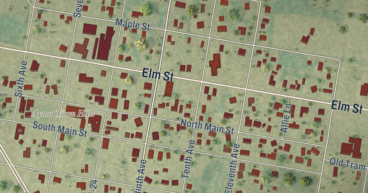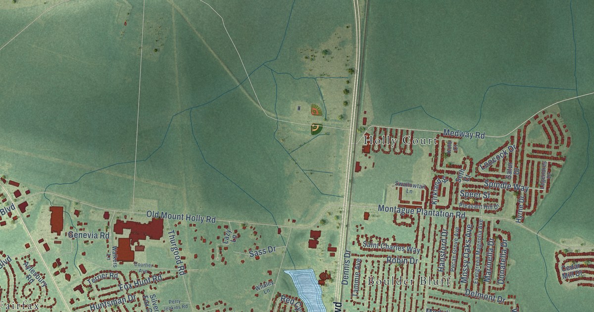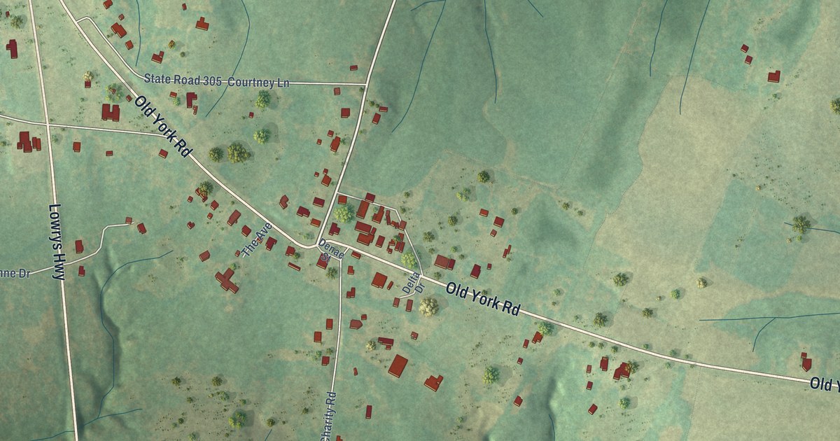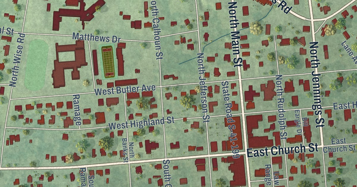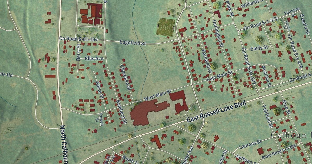
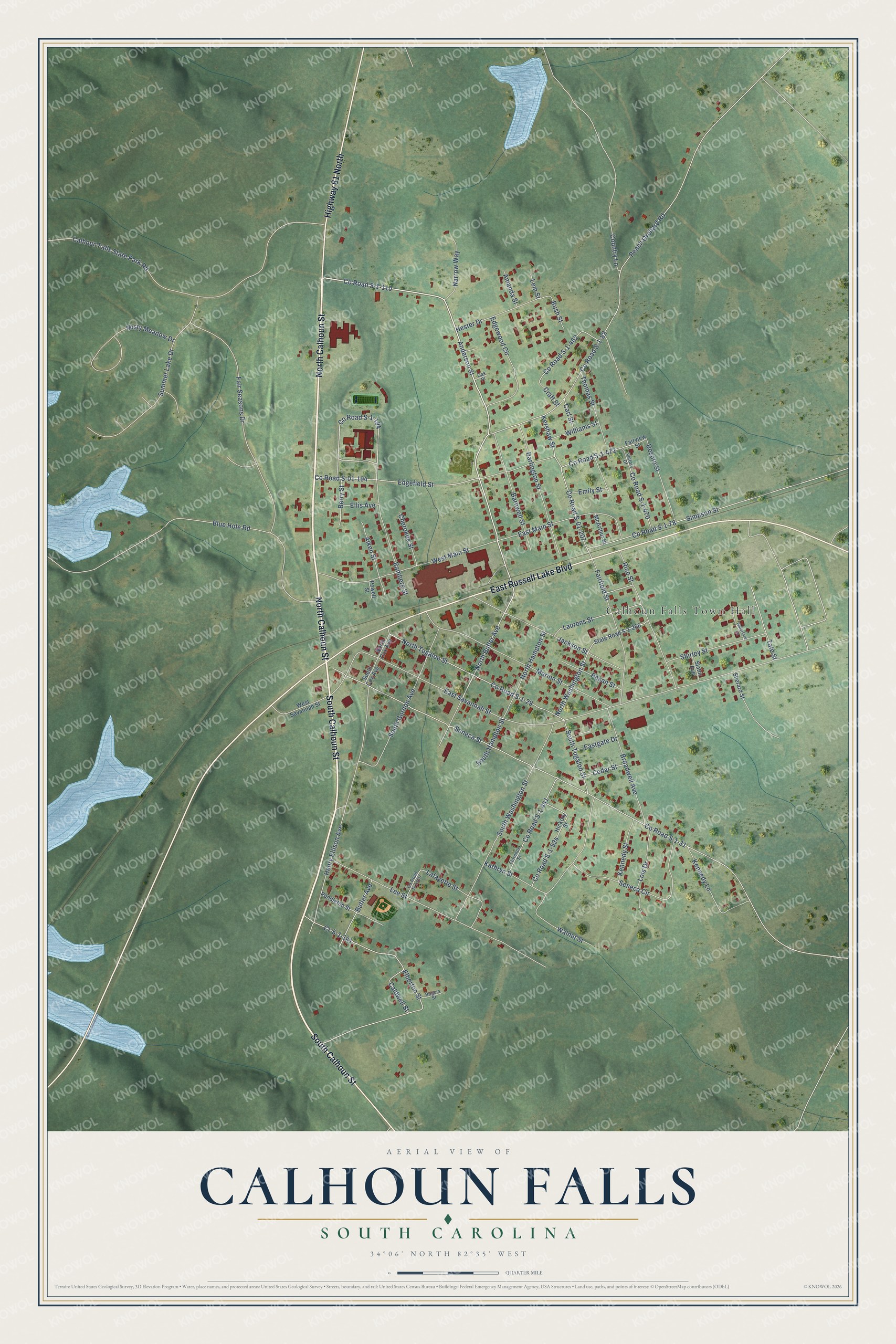
This beautifully detailed map of Calhoun Falls, South Carolina was created in 2026 using aerial imagery combined with modern topographical, census, street and landmark data. It’s a one-of-a-kind view of Calhoun Falls that combines accurate data with a vintage aesthetic. The map shows every building in its true location, many of the roads carry their names, and the shaded topographic relief shows the shape of the land.
Explore an aerial view of Calhoun Falls, South Carolina
On the map you’ll find Calhoun Falls Town Hall, along with North Calhoun Street, South Calhoun Street, East Russell Lake Boulevard, Highway 81 North, Anderson Street, North Butler Avenue, County Road S-1-110, County Road S-1-194, County Road S-1-82, County Road S-1-31, Seneca Street, and more. If you look closely you can even find your house accurately drawn in its correct location. Zoom in on the preview to look for yours.
Did you know this piece of Calhoun Falls, South Carolina history?
From the South Carolina Encyclopedia: "In the first decade of the twentieth century, Calhoun Mills, a textile corporation under the experienced leadership of James P. Gossett and Judge W. F. Cox, from neighboring Anderson County, built a mill and village at the junction of the Savannah Valley Railroad and the Seaboard. The resulting town of Calhoun Falls soon became the second largest town in the county."
Take a closer look at the Calhoun Falls map
Street and place names on the Calhoun Falls, South Carolina map
These names are printed on the map of Calhoun Falls, South Carolina.
Places: Calhoun Falls Town Hall.
Streets and roads: North Calhoun Street, South Calhoun Street, East Russell Lake Boulevard, Highway 81 North, Anderson Street, North Butler Avenue, County Road S-1-110, County Road S-1-194, County Road S-1-82, County Road S-1-31, Seneca Street, East Savannah Street.
More street names, A to Z
Aiken Street, Amanda Street, Bamberg Street, Barnwell Street, Berry Street, Blue Hole Road, Broadwell Avenue, Bush Street, Butler Avenue, Caldwell Street, Calhoun Falls State Park Road, Carl Street, Cedar Street, Cherokee Street, Country Lane, County Road S-01-194, County Road S-01-207, County Road S-1-29, County Road S-1-78, County Road S-1-437, County Road S-1-441, County Road S-1-462, County Road S-1-470, County Road S-1-472, County Road S-1-524, Cr-5-1-141, Craft Street, Darlington Street, Desoto Street, Eastgate Drive, East Main Street, Edgefield Street, Edgewood Circle, Elberton Street, Ellis Avenue, Emily Street, Fairfield Street, Fair Seasons Drive, Fairview Street, Florence Street, Henry Ellison Avenue, Hester Drive, Hickory Street, Jackson Street, Kathryn Street, Kennedy Lane, Kennedy Street, Kershaw Street, Lafayette Street, Laurens Street, Lee Street, Lem Street, Lois Drive, Marion Street, McArthur Street, Misty Meadow Drive, Narrow Way, North Cox Avenue, North Hampton Street, North Tugaloo Street, North Washington Street, Oak Place, Peach Orchard Road, Pecan Street, Pendleton Street, Powell Street, Rice Street, Rogers Street, Seneca Circle, Sherard Street, Shirley Street, Simpson Street, Slator Avenue, South Cox Avenue, South Gordon Avenue, South Hampton Street, South Tugaloo Street, South Washington Street, State Road S-1-266, Summer Lake Drive, Tate Street, Thomas Street, Victory Drive, Walnut Street, Waterford Lane, West Main Street, West Savannah Street, Williams Street.
See the Calhoun Falls, South Carolina map on a wall
The Calhoun Falls map as an 18 x 24 inch print in a black frame.

This beautifully detailed map of Calhoun Falls makes an attractive addition to your office, library, or den, and it can even be used to teach children the geography and history of the area. It also makes a great gift for someone who left Calhoun Falls and still calls it home. When you’re done exploring, click here to get your copy of the Calhoun Falls map.