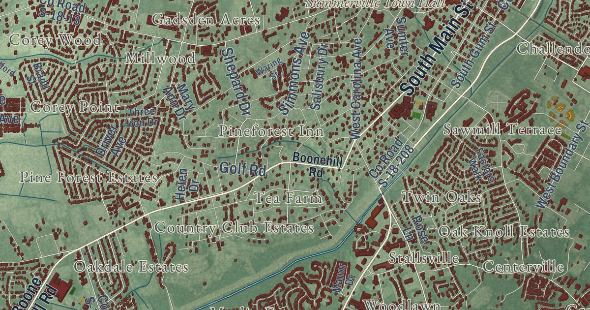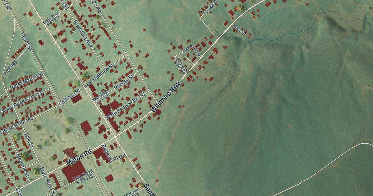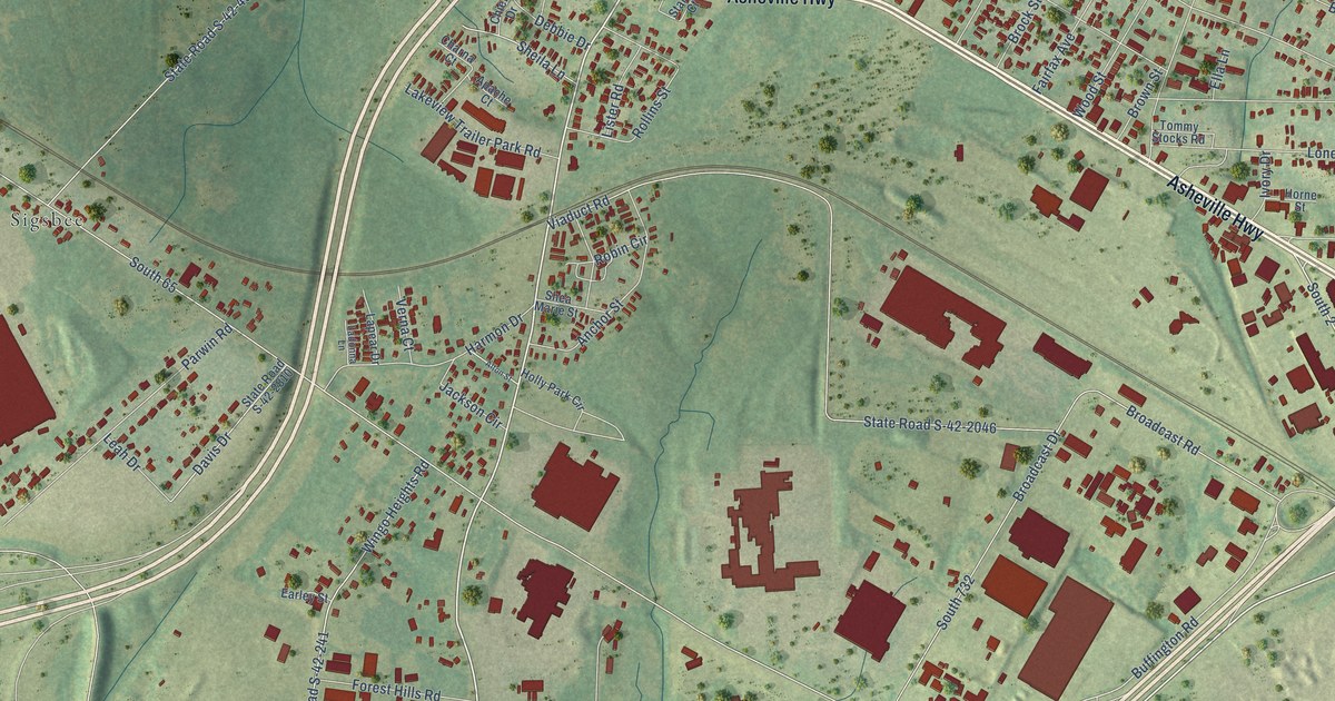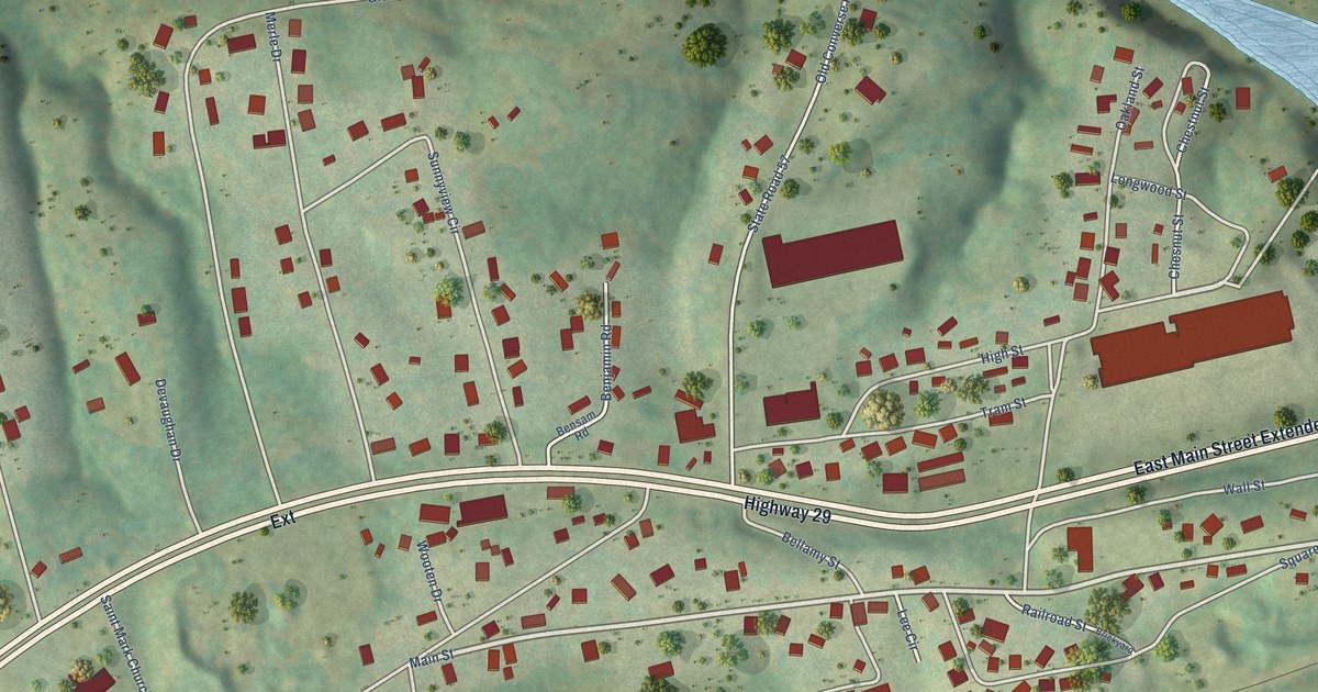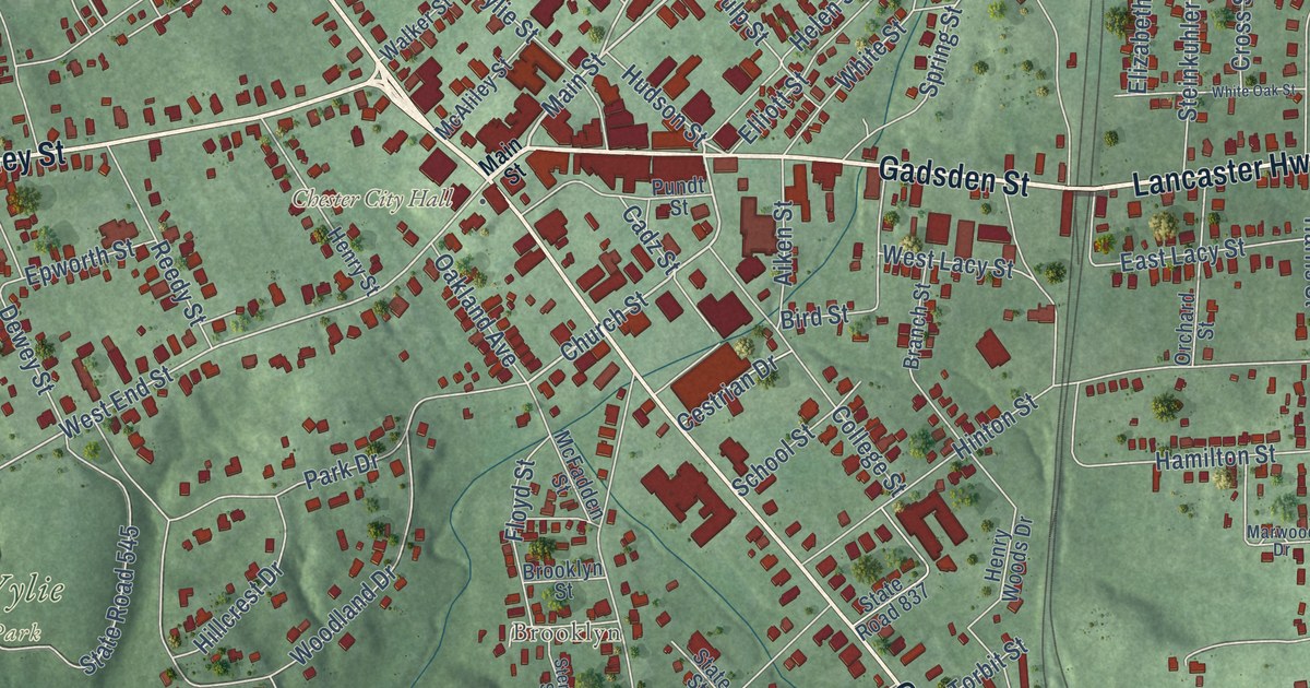
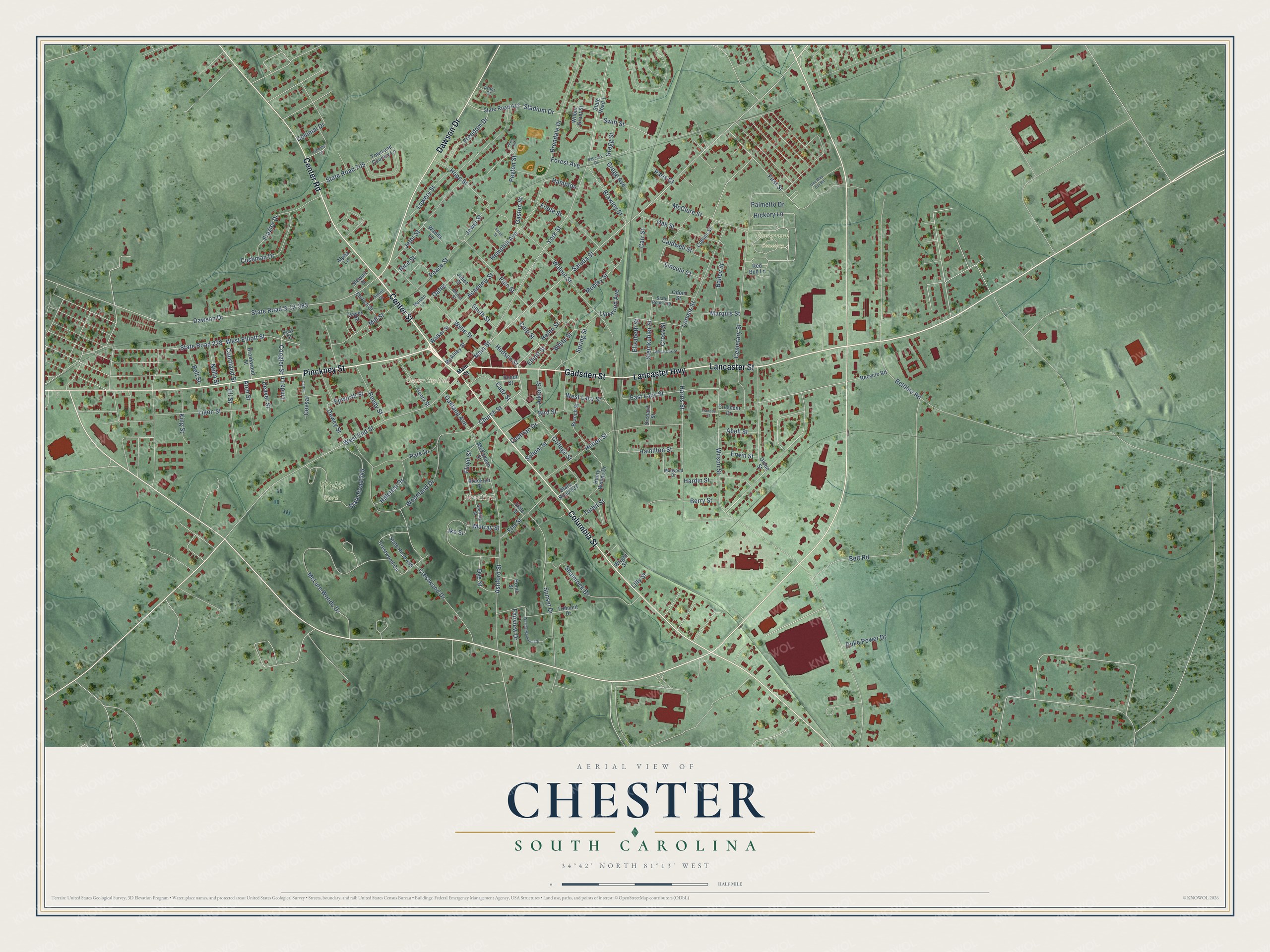
This beautifully detailed map of Chester, South Carolina was created in 2026 using aerial imagery combined with modern topographical, census, street and landmark data. It’s a one-of-a-kind view of Chester that combines accurate data with a vintage aesthetic. The map shows every building in its true location, many of the roads carry their names, and the shaded topographic relief shows the shape of the land.
Explore an aerial view of Chester, South Carolina
On the map you’ll find Chester City Hall, Evergreen Cemetery, Wylie Park, and Brooklyn, along with Center Street, Gadsden Street, Columbia Street, Pinckney Street, Dawson Drive, Lancaster Highway, Lancaster Street, Center Road, and more. If you look closely you can even find your house accurately drawn in its correct location. Zoom in on the preview to look for yours.
Did you know this piece of Chester, South Carolina history?
From Scencyclopedia.org: "In 1888 local entrepreneurs organized Chester’s first cotton mill, the Chester Manufacturing Company, which commenced operations with one hundred looms and its own dye works."
Take a closer look at the Chester map
Street and place names on the Chester, South Carolina map
These names are printed on the map of Chester, South Carolina.
Places: Chester City Hall, Evergreen Cemetery, Wylie Park and Brooklyn.
Streets and roads: Center Street, Gadsden Street, Lancaster Highway, Lancaster Street, Columbia Street, Pinckney Street, Dawson Drive, Center Road, Main Street, Saluda Street, Church Street, Hudson Street.
More street names, A to Z
Abell Street, Academy Street, Aiken Street, Alpha Lane, Arbor Court, Arch Street, Ashford Street, Babcock Drive, Bailey Street, Bell Street, Beltline Road, Belt Road, Berry Street, Bird Street, Branch Street, Brawley Street, Brendale Drive, Brooklyn Street, Brookwood Street, Cadz Street, Caldwell Street, Carr Street, Carter, Cemetary Street, Cestrian Drive, College Street, Collins Street, Colonial Drive, Coogler Street, Courtland Street, Covsar, Crescent Drive, Crestwood Circle, Crestwood Drive, Cross Street, Culp Street, Cushman Drive, Deaver Street, Dewey Street, Duke Power Drive, Dye Street, East Lacy Street, East Street, Ehrlich Street, Eli Street, Elizabeth Street, Ella Street, Elliott Street, Epworth Street, Erwin Street, Fairview Drive, First Street, Fleming Circle, Floyd Street, Foote Street, Forest Avenue, Frances Street, Frazier Drive, Freedom Drive, Gaston Street, Glenn Street, Gregg Avenue, Gregg Street, Hamilton Street, Hampton, Hardin Street, Harris Street, Hayes Street, Helen Street, Hemphill Avenue, Henry Street, Henry Woods Drive, Hickory Lane, Hillcrest Drive, Hinton Street, Honor Street, Hope Street, Ike Street, Jeter Heights, Jeter Street, Jewel Street, Juliet Street, King Street, Ligon Street, Lilly Street, Lincoln Court, Linda Lane, Loomis Street, Lowery Street, Lynwood Avenue, Maiden Lane, Marquis Street, Marwood Drive, McAliley Street, McClure Street, McFadden Street, McLure Woods Drive, Mill Street, Mobley Street, Moore Street, Murray Street, Nella Street, Oakland Avenue, Oak Street, Oates, Odom Street, One Way Out Road, Orchard Street, Palmetto Drive, Paris Court, Park Drive, Peace Street, Peyton Street, Pine Street, Pundt Street, Recycle Road, Red Bud Lane, Reedy Street, Rice Street, Sarah Street, School Street, Shamrock Drive, Simril Street, Smith Street, Spring Street, Stadium Drive, State Road 1, State Road 228, State Road 489, State Road 545, State Road 612, State Road 705, State Road 739, State Road 837, State Road S-12-383, State Street, Steinkuhler Street, Sterling Street, Stewart Street, Sunset Drive, Swift Street, Torbit Street, Town and Country Lane, Tremont Drive, Walker Street, Walnut Street, Wanda Lane, Wesley Memorial Drive, West Elliott Street, West End Street, West Lacy Street, White Oak Street, White Street, Wilbur Grant Street, Wilson Street, Woodland Drive, Wright Street, Wylie Street, York Street.
See the Chester, South Carolina map on a wall
The Chester map as an 18 x 24 inch print in a black frame.

This beautifully detailed map of Chester makes an attractive addition to your office, library, or den, and it can even be used to teach children the geography and history of the area. It also makes a great gift for someone who left Chester and still calls it home. When you’re done exploring, click here to get your copy of the Chester map.