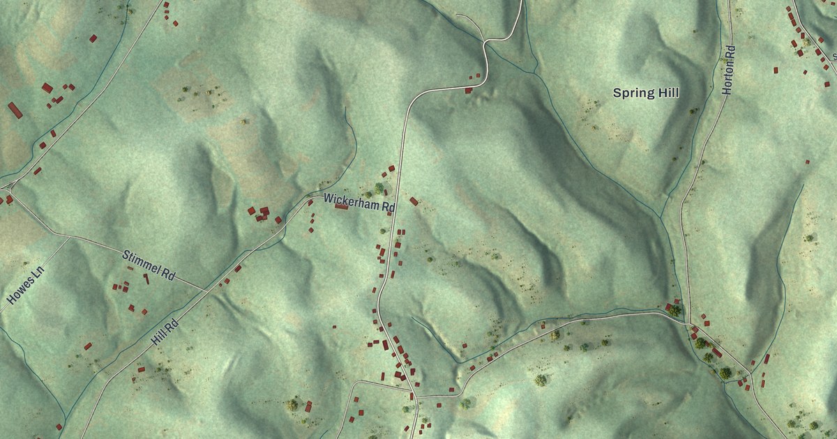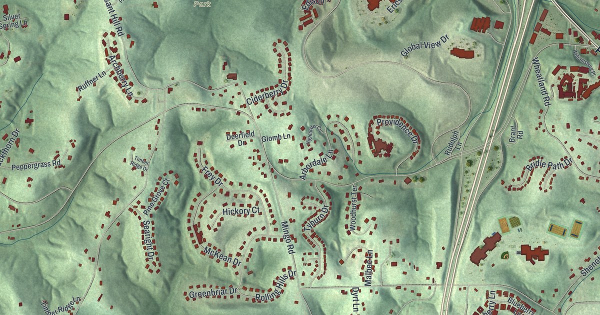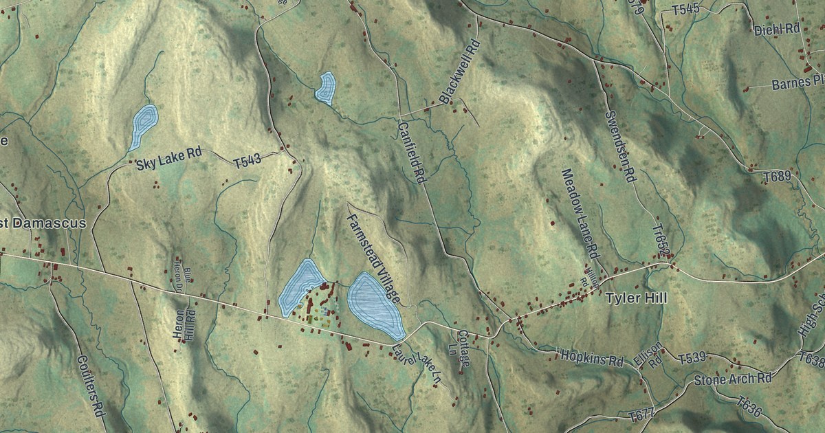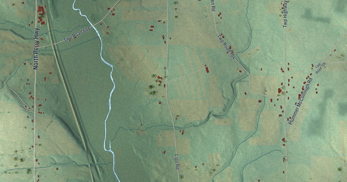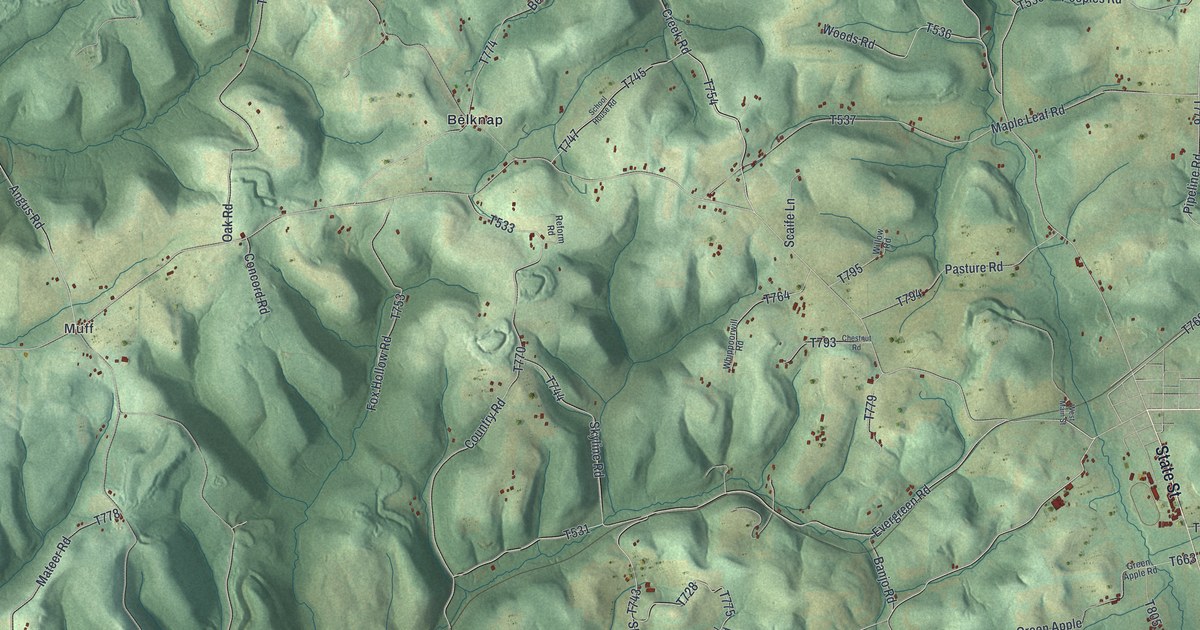
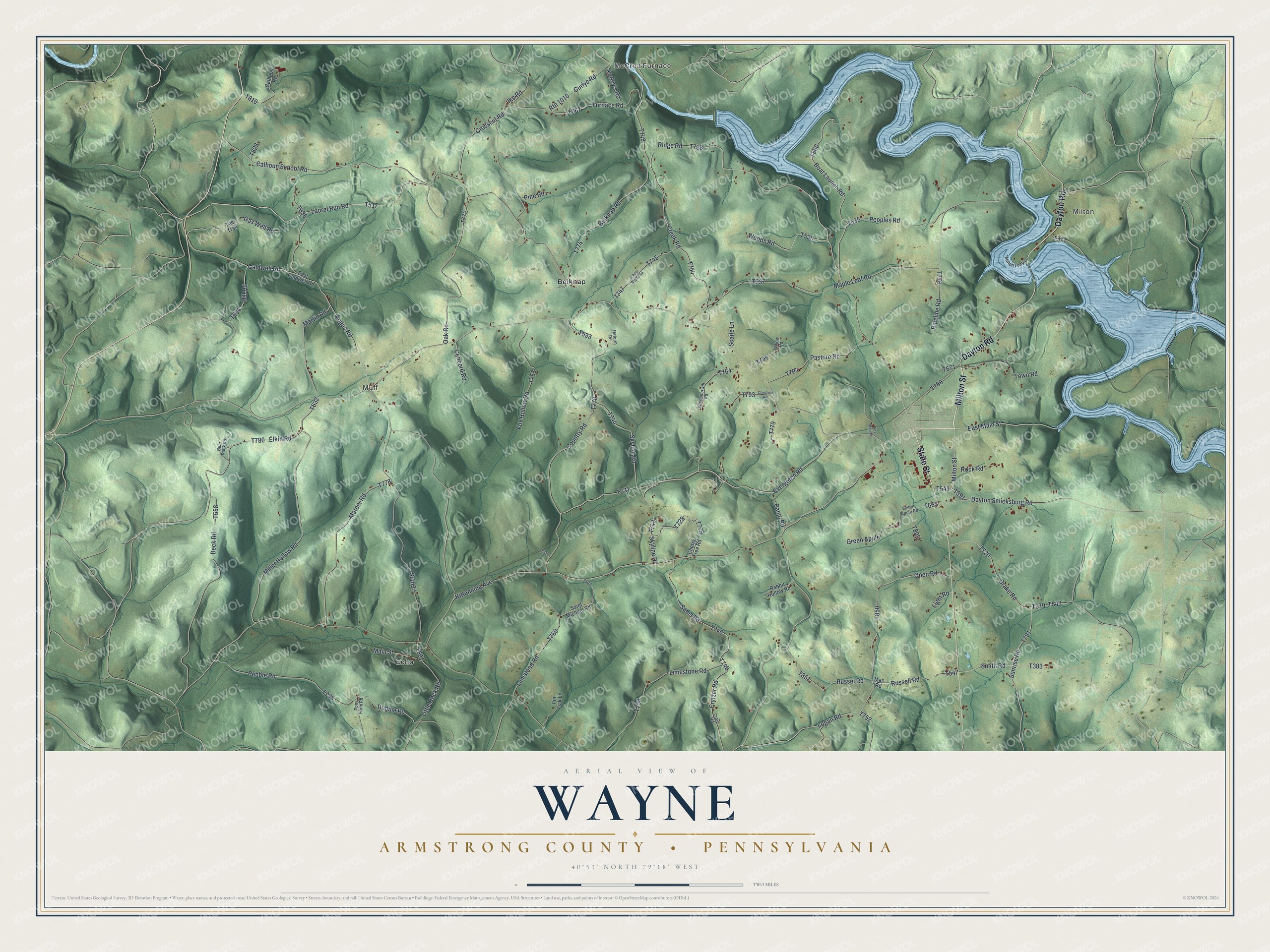
This beautifully detailed map of Wayne, Armstrong County, Pennsylvania was created in 2026 using aerial imagery combined with modern topographical, census, street and landmark data. It's a modern aerial view of Wayne, Armstrong County in Armstrong County, Pennsylvania, that combines modern data with a vintage aesthetic. The roads feature printed names, and if you look closely you can find your exact house accurately shown in its correct location.
Explore an aerial view of Wayne, Armstrong County, Pennsylvania
On this map you'll find Milton, McCrea Furnace, Echo, Muff, Belknap, Milton Street, State Street, Dayton Road, T776, T591, Kittanning Avenue, Logan Road, and more. Each red shape is a building, so zoom in on the preview and look for yours.
Here is a piece of Wayne, Armstrong County history, in the words of the record. The record at pa-roots.com puts it this way: "The morning after the battle she rescued from a pit one of her friends, who had been thrown into it, with others, as dead, carried him in her arms to the hospital and nursed him until he recovered, from whom, many years afterward, when he had learned her residence through the pension office, she received a box of presents and an invitation to make his home her home."
Wayne, Armstrong County is a place in Armstrong County. The Census Bureau counted 1,296 people here in 2020.
Take a closer look at the Wayne, Armstrong County map
Names on this map
These names are printed on this map.
Places: Milton, McCrea Furnace, Echo, Muff and Belknap.
Streets and roads: Milton Street, State Street, Dayton Road, Kittanning Avenue, Logan Road, Laurel Run Road, East Main Street, Calhoun School Road, Dayton Smicksburg Road, Creek Road, Debbie Road, Skyline Drive.
More street names, A to Z
Angus Road, Banjo Road, Bear Rock Road, Beck Road, Belknap Road, Boat Launch Road, Caldwell Road, Calhoon Road, Cherry Tree Road, Chestnut Road, Concord Road, Country Road, Craig Road, Crosscut Road, Crytzer Road, Curley's Road, Curlys Road, Drake Road, East Caldwell Road, Elkin Road, Evergreen Road, Fox Hollow Road, Furnace Road, Gas Well Road, Green Apple, Green Apple Road, Hill Road, Ike Road, Light Road, Limestone Road, Little Rock Road, Lumstead Road, Mac Road, Main Street, Maple Leaf Road, Martin Road, Mateer Road, Miller Hollow Road, Milton Loop Lane, Oak Road, Open Road, Pasture Road, Pebble Road, Peoples Road, Pine Road, Pin Oak Lane, Pipeline Road, Pony Farm Road, Rabbit Hollow Road, Reform Road, Ridge Road, Rock Road, Route 1010, Russell Road, Russel Road, Saint Michael Road, Sams Road, Scaife Lane, School House Road, Skyline Road, Smith Road, Sr1037, Sunrise Road, Tee Trail, Town Road, West Main Street, Whippoorwill Road, Willow Road, Woods Road.
Created by KNOWOL in 2026. The buildings are small red shapes, the roads carry their printed names, and shaded relief shows the shape of the land. The title panel reads "AERIAL VIEW OF WAYNE ARMSTRONG COUNTY • PENNSYLVANIA" with 4, 0, °, 5, 3, ', , N, O, R, T, H, , 7, 9, °, 1, 8, ', , W, E, S, T.
It suits a den, a classroom or a front hall, and it makes a gift for anyone with Wayne, Armstrong County roots. Open the preview and find the block you know. See sizes and frames for the Wayne, Armstrong County map.