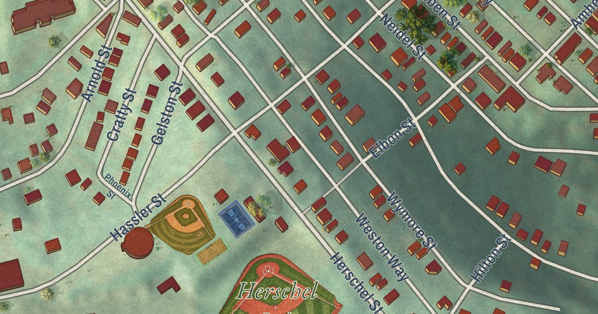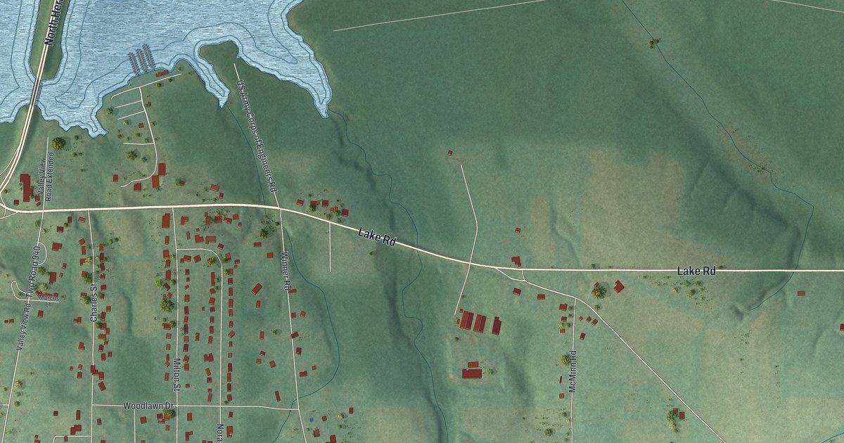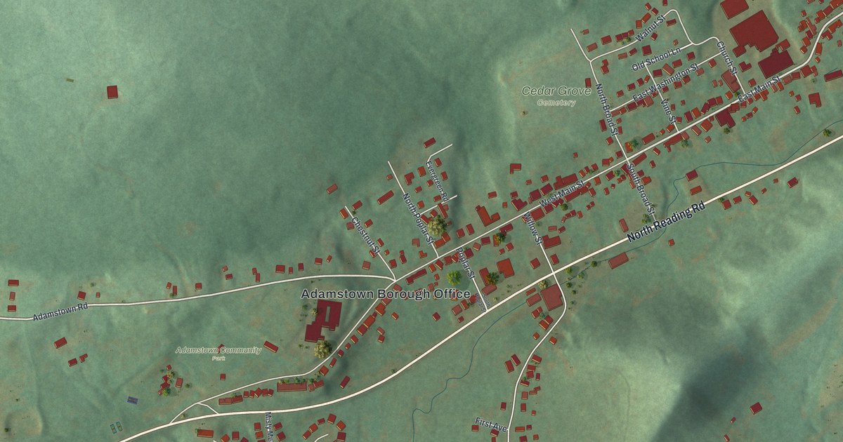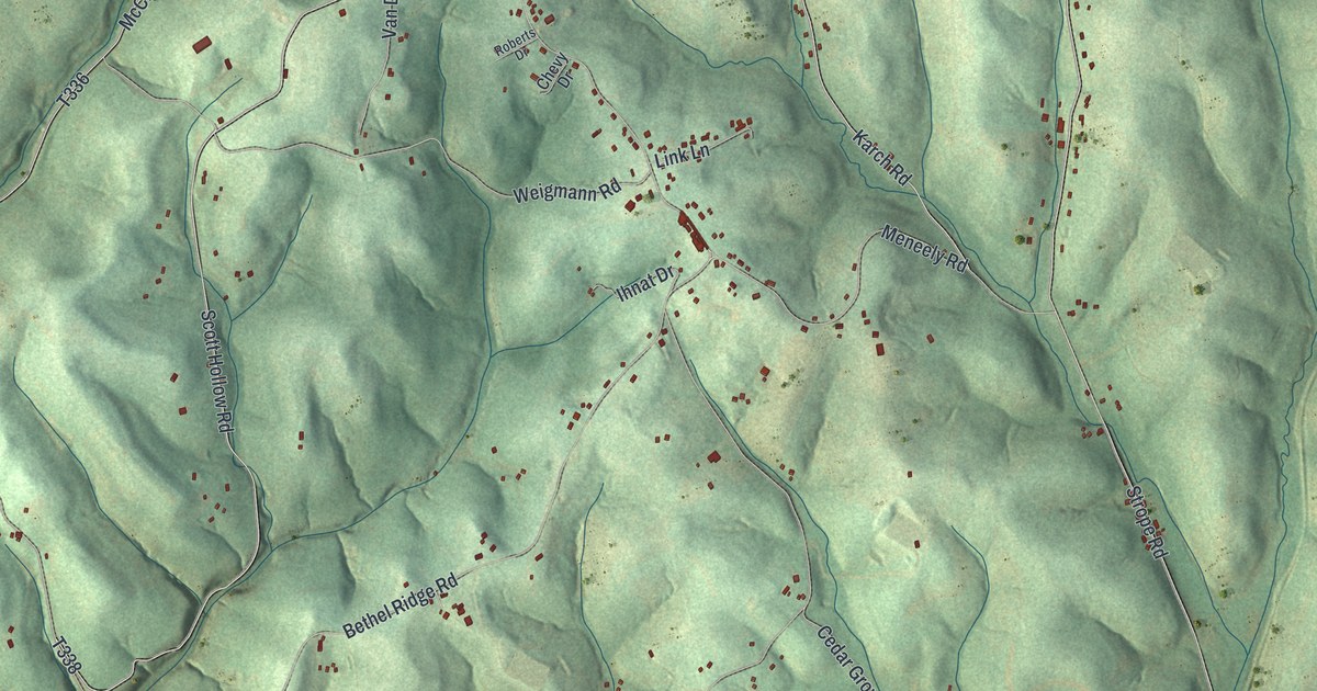
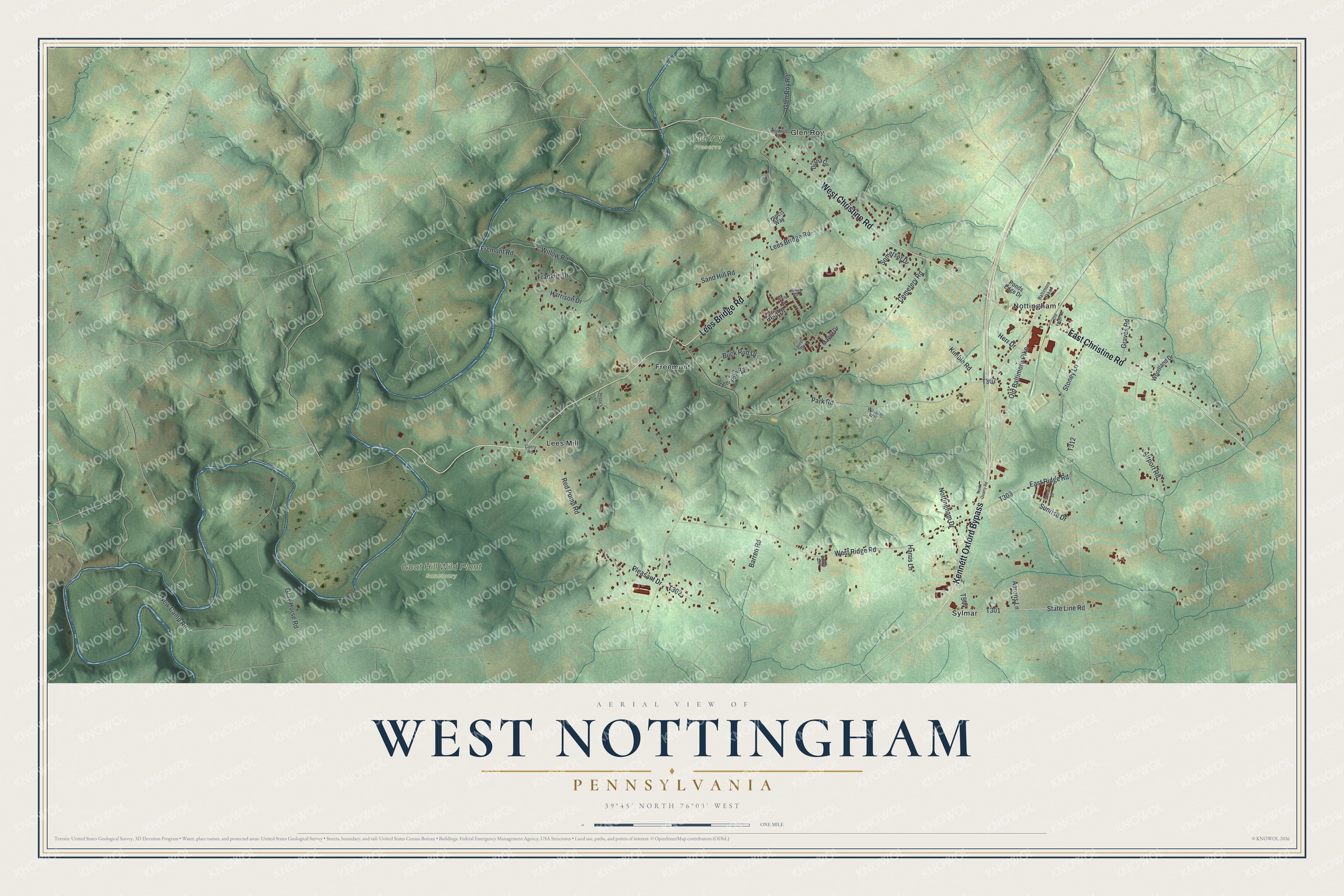
This beautifully detailed map of West Nottingham, Pennsylvania was created in 2026 using aerial imagery combined with modern topographical, census, street and landmark data. It’s a one-of-a-kind view of West Nottingham that combines accurate data with a vintage aesthetic. The map shows every building in its true location, many of the roads carry their names, and the shaded topographic relief shows the shape of the land.
Explore an aerial view of West Nottingham, Pennsylvania
On the map you’ll find Glenroy Preserve, Goat Hill Wild Plant Sanctuary, Freemont, Glen Roy, Lees Mill, Nottingham, and Sylmar, along with Kennett Oxford Bypass, Lees Bridge Road, West Christine Road, East Christine Road, State Line Road, and more. If you look closely you can even find your house accurately drawn in its correct location. Zoom in on the preview to look for yours.
Did you know this piece of West Nottingham, Pennsylvania history?
From the Pennsylvania Historical and Museum Commission: "Emboldened by the 1850 Fugitive Slave Law, Maryland slave catchers kidnapped Rachel and Elizabeth Parker from the Nottingham area in 1851. Rachel's employer Joseph Miller was murdered in a failed attempt to rescue her from Baltimore. Public outrage led Pa. officials to seek the sisters' release in a Md. civil court case that secured their freedom in 1853. The forcible enslavement of two young free black women galvanized antislavery sentiment."
Take a closer look at the West Nottingham map
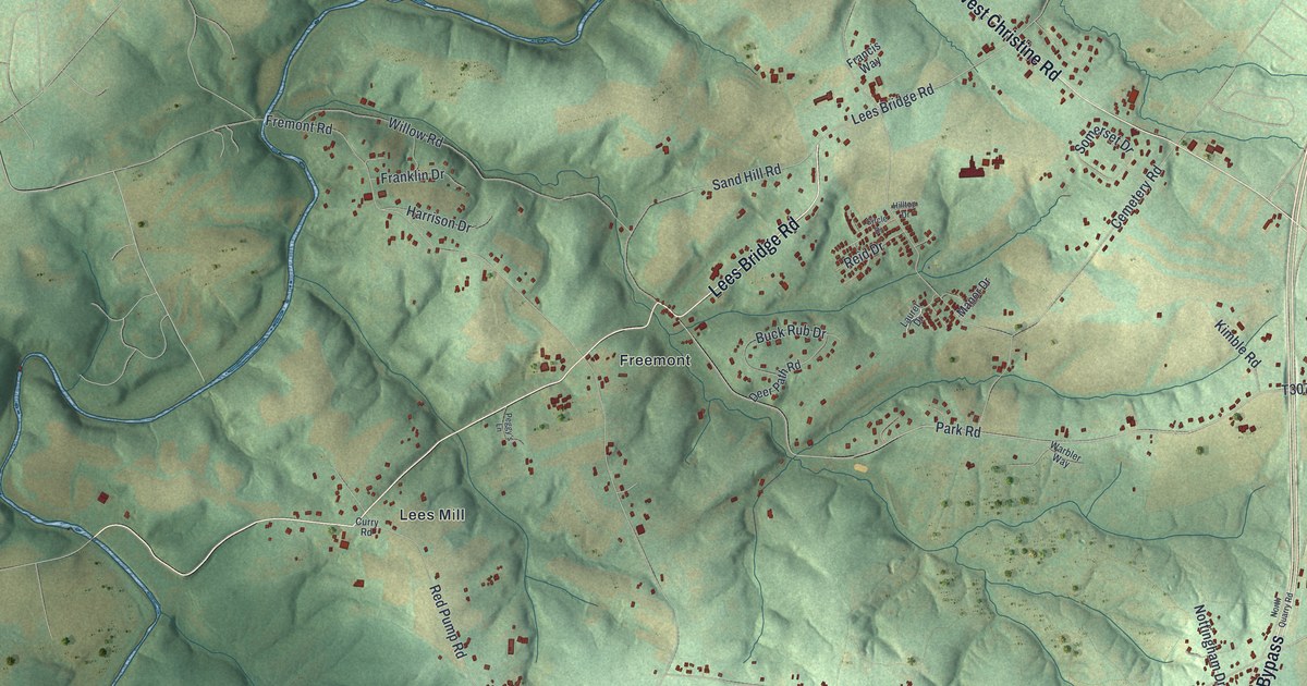
Street and place names on the West Nottingham, Pennsylvania map
These names are printed on the map of West Nottingham, Pennsylvania.
Places: Glenroy Preserve, Goat Hill Wild Plant Sanctuary, Freemont, Glen Roy, Lees Mill, Nottingham and Sylmar.
Streets and roads: Kennett Oxford Bypass, Lees Bridge Road, West Christine Road, East Christine Road, State Line Road, Pleasant Drive, New Camp Road, Fremont Road, Park Road, Glen Roy Road, West Ridge Road, Stoney Lane.
More street names, A to Z
Aarons Lane, Airport Road, Apple Drive, Baltimore Pike, Barren Road, Buck Rub Drive, Cemetery Road, Circle Drive, Curry Road, Deer Path Road, Diana Circle, East Ridge Road, Francis Way, Franklin Drive, Graves Road, Gray Horse Road, Harris Lane, Harrison Drive, Herr Drive, Hilltop Drive, Hopewell Road, Kimble Road, Laurel Drive, Manor Drive, North Quarry Road, Nottingham Drive, Old Baltimore Pike, Old Forge Road, Peggy's Lane, Ponds Edge Drive, Red Pump Road, Reid Drive, Sand Hill Road, Somerset Drive, Sunrise Drive, Sunset Drive, Warbler Way, Willow Road, Woodland Drive.
See the West Nottingham, Pennsylvania map on a wall
The West Nottingham map as an 18 x 24 inch print in a black frame.

This beautifully detailed map of West Nottingham makes an attractive addition to your office, library, or den, and it can even be used to teach children the geography and history of the area. It also makes a great gift for anyone who grew up in West Nottingham or moved away. When you’re done exploring, click here to get your copy of the West Nottingham map.