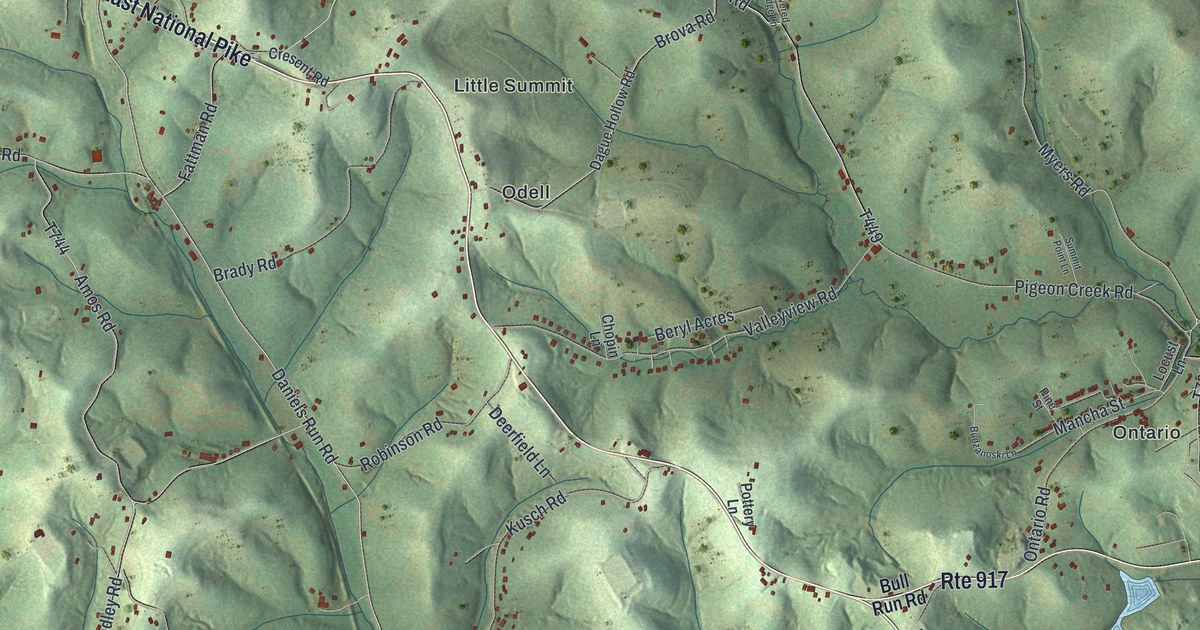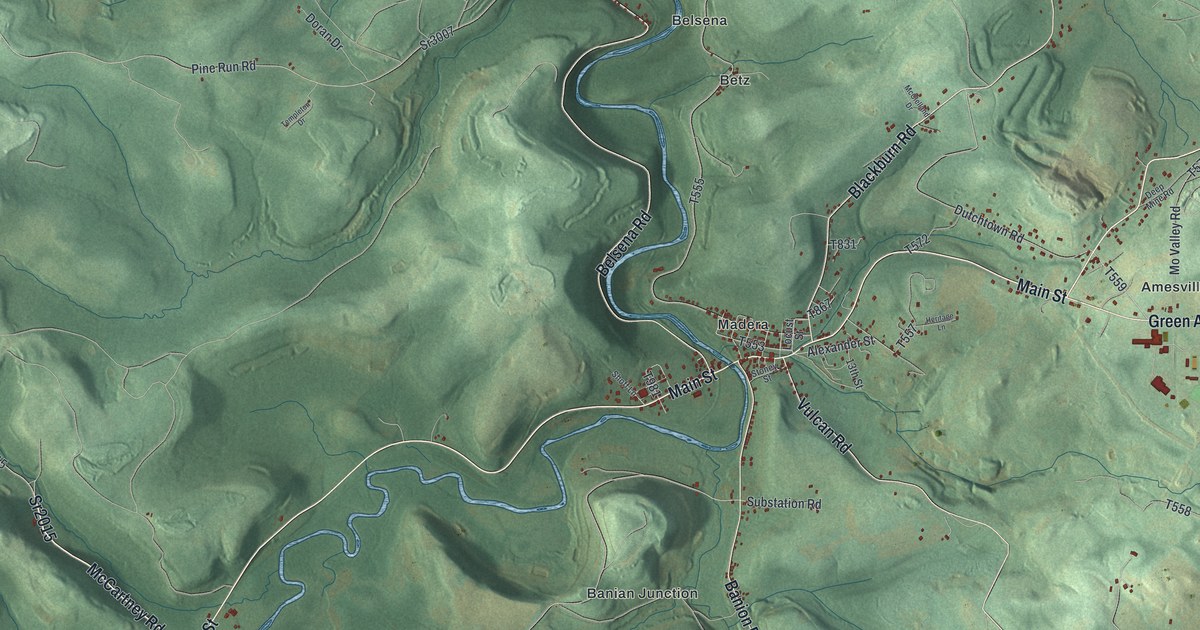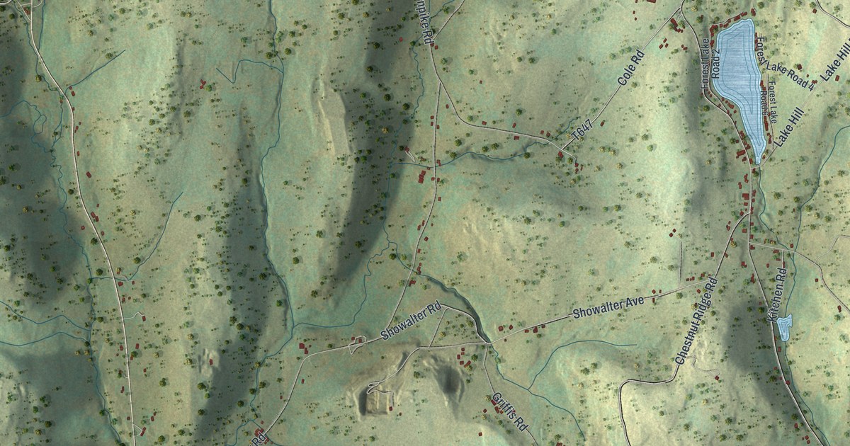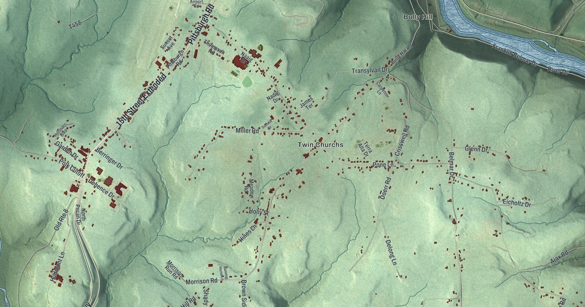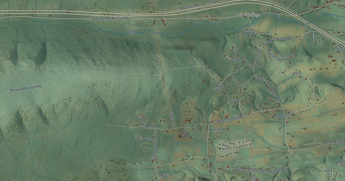
This beautifully detailed map of White Deer, Pennsylvania was created in 2026 using aerial imagery combined with modern topographical, census, street and landmark data. It’s a one-of-a-kind view of White Deer that combines accurate data with a vintage aesthetic. The map shows every building in its true location, many of the roads carry their names, and the shaded topographic relief shows the shape of the land.
Explore an aerial view of White Deer, Pennsylvania
On the map you’ll find West Milton, New Columbia, Old Furnace, and Bald Eagle State Forest, along with New Columbia Road, Pleasant View Road, Westbranch Highway, No 10 Road, Gray Hill Road, and more. If you look closely you can even find your house accurately drawn in its correct location. Zoom in on the preview to look for yours.
Did you know this piece of White Deer, Pennsylvania history?
From the Pennsylvania Historical and Museum Commission: "Built a stone house on this site in 1774, operating saw and grist mills that stood near the intersection of the present highway. During 1776, she completed the boring mill where a great many gun barrels for the Continental Army were manufactured."
Take a closer look at the White Deer map
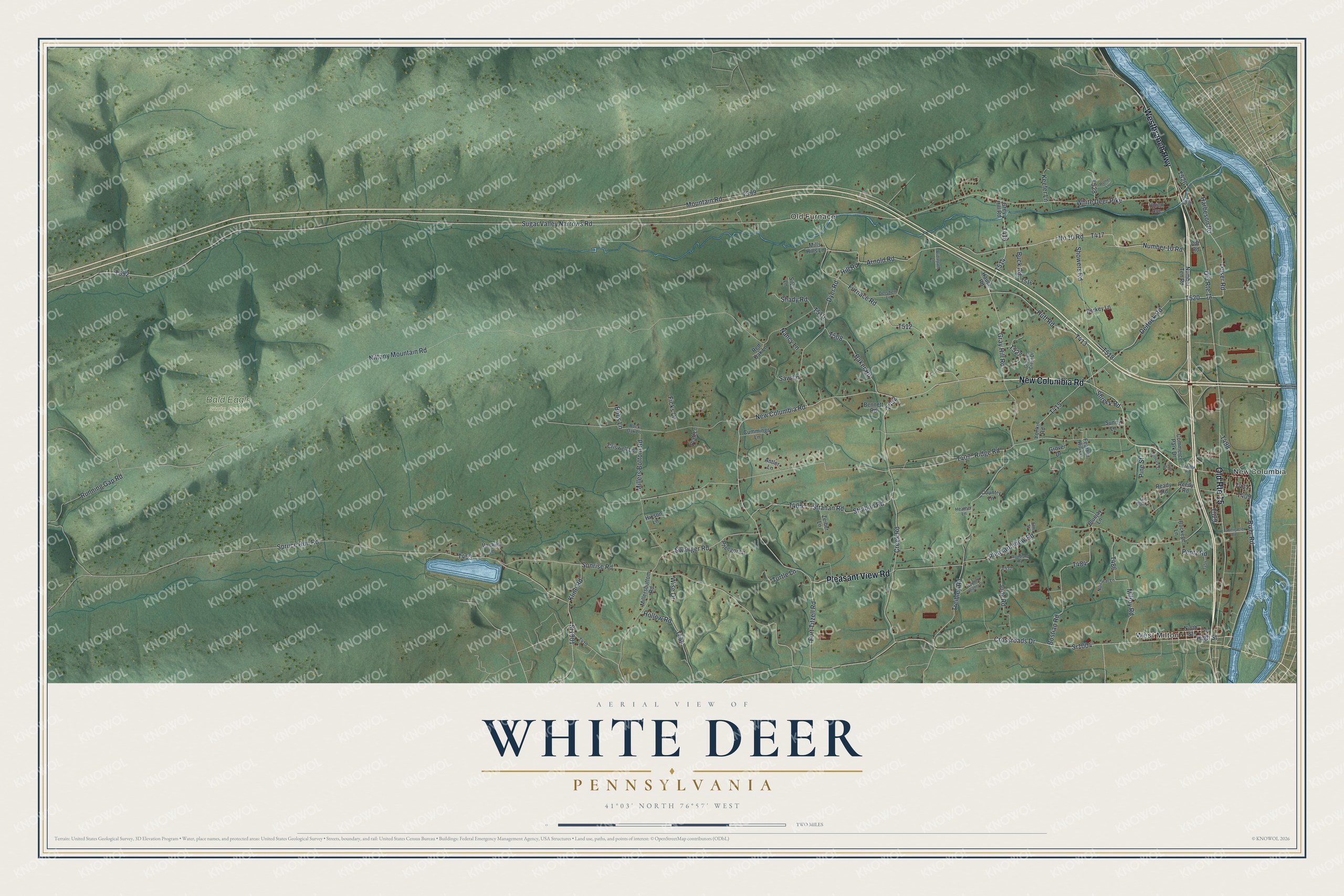
Street and place names on the White Deer, Pennsylvania map
These names are printed on the map of White Deer, Pennsylvania.
Places: West Milton, New Columbia, Old Furnace and Bald Eagle State Forest.
Streets and roads: New Columbia Road, Pleasant View Road, Old Route 15, Westbranch Highway, No 10 Road, Gray Hill Road, Arnold Road, Deitrick Road, Sr1001, Crossroads Drive, Kline Road, High Street.
More street names, A to Z
Antler Lane, Baker Road, Bennett Road, Berkey Lane, Bluejay Lane, Bobs Lane, Bostian Road, Bridalpath Lane, Buckeye Lane, Buck Road, Cat Road, Commerce Park Drive, Country Lane, Creek Road, Criswell Lane, Cummings Lane, Dershem Lane, Dyer Road, Elm Street, Fawn Drive, Feather Hill Lane, Ficks Lane, Fort Titzell Road, Furnace Road, Graylyn Crest Drive, Grey Hill Road, Grover Drive, Harbeson Road, Hauck Road, Heather Lane, Hemlock Street, Hill Road, Hixson Lane, Hollow Road, Huff Road, Judy Road, Keefer Lane, Leiser Road, Millers Bottom Road, Millersbottom Road, Mills Hills Lane, Milroy Road, Mountain Road, Nancy Lane, Ninth Street, Nittany Mountain Road, Noll Star Lane, Number 10 Road, Number Ten Road, Old Oak Lane, Park Road, Pentz Road, Pfleegor Lane, Pine Street, Platt Lane, Ready Road, Red Oak Lane, Reedy Road, Ridge Road, River Road, Rock Oak Lane, Rother Lane, Running Gap Road, Saw Lane, Shady Road, Showers Road, Shreck Road, Silva Lane, Spruce Run Road, Sr1004, Strahan Road, Strahon Road, Sugar Valley Narrows Road, Sunny Lane, Sunrise Road, Swanger Road, Tabernacle Road, Treibley Road, Treibly Road, Turtle Lane, Union Avenue, Vankirk Lane, White Deer Pike, Wise Drive, Wooded Heights Drive, Woodland Road, Yonkin Road, Zeiber Lane.
See the White Deer, Pennsylvania map on a wall
The White Deer map as an 18 x 24 inch print in a black frame.

This beautifully detailed map of White Deer makes an attractive addition to your office, library, or den, and it can even be used to teach children the geography and history of the area. It also makes a great gift for anyone with White Deer roots. When you’re done exploring, click here to get your copy of the White Deer map.