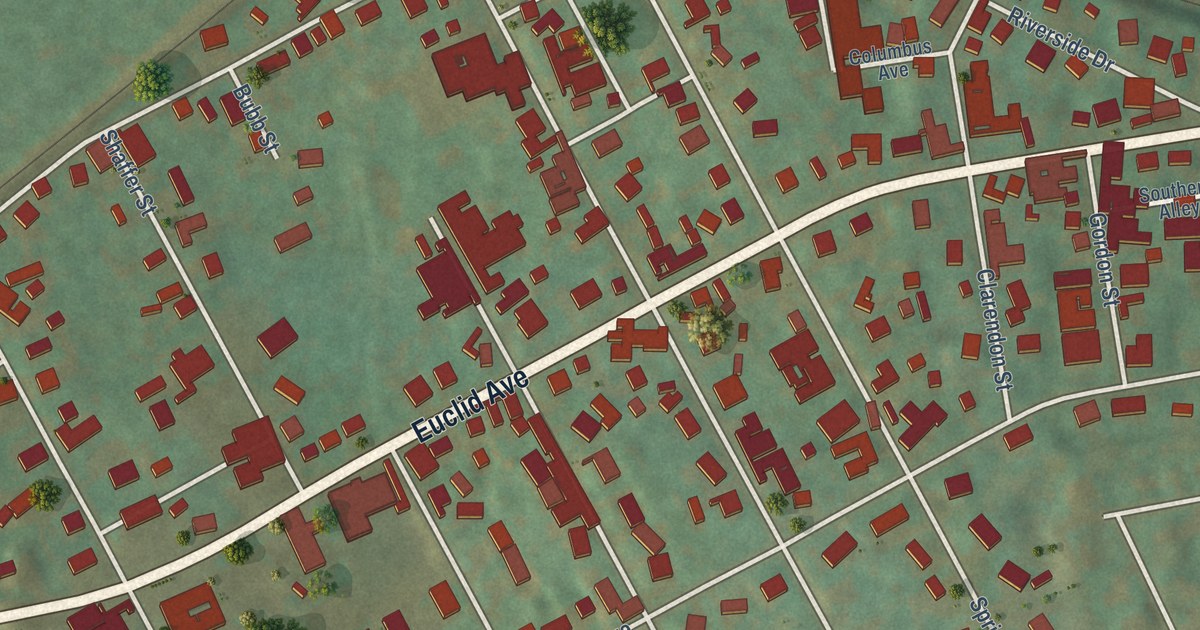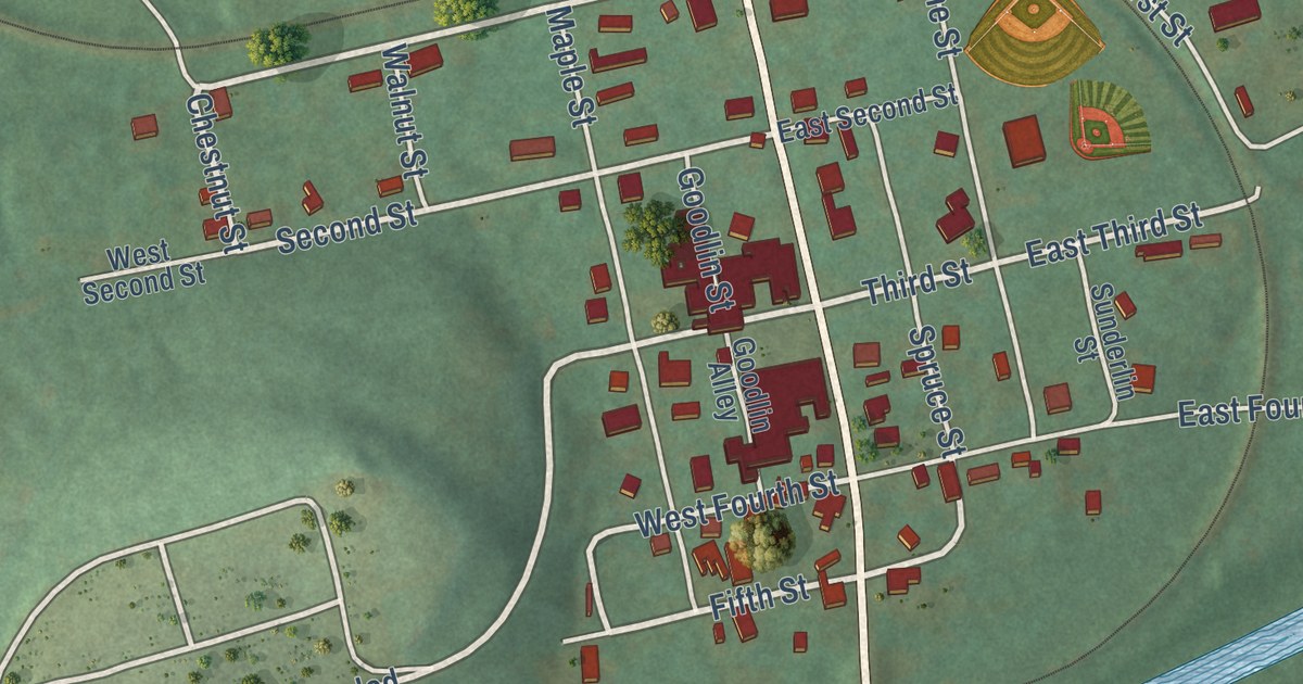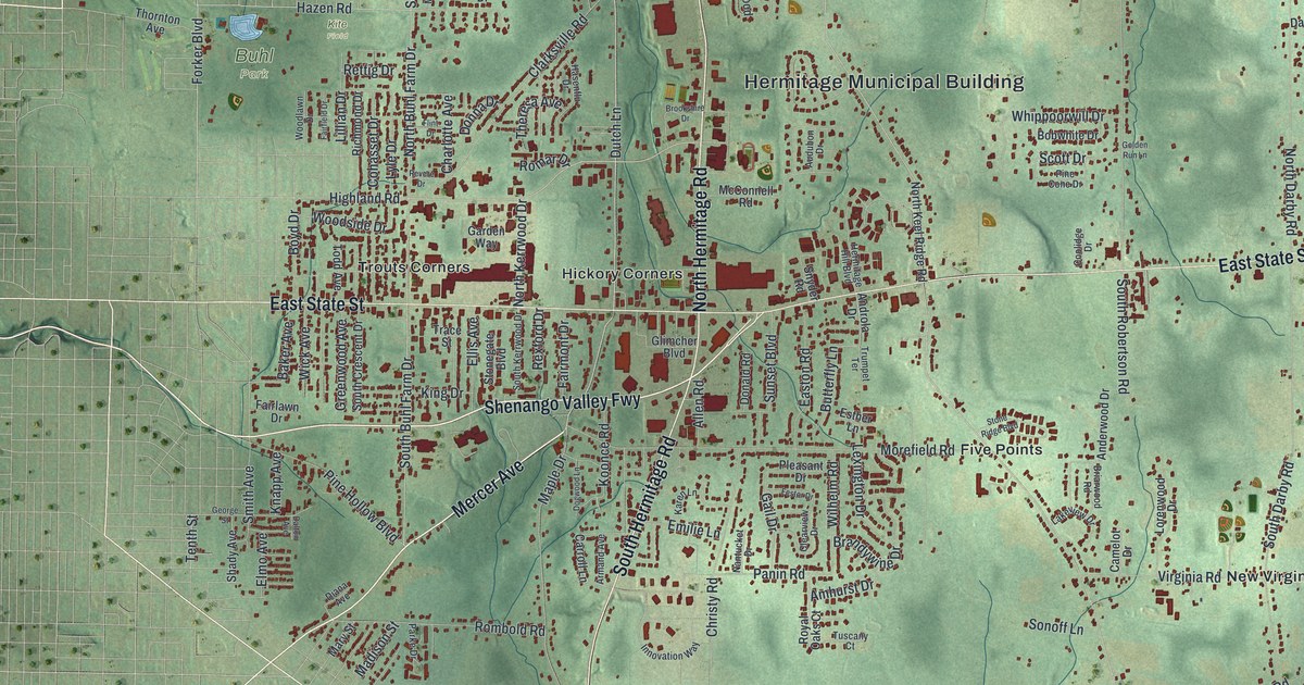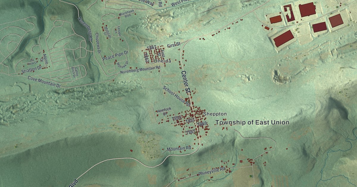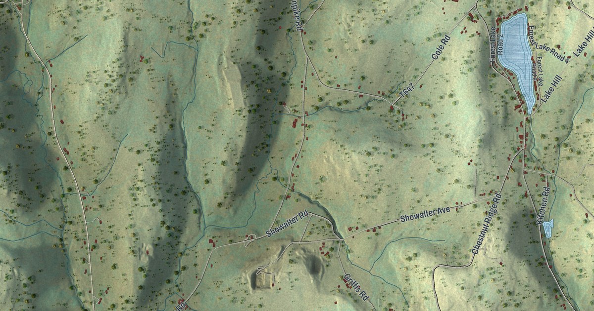
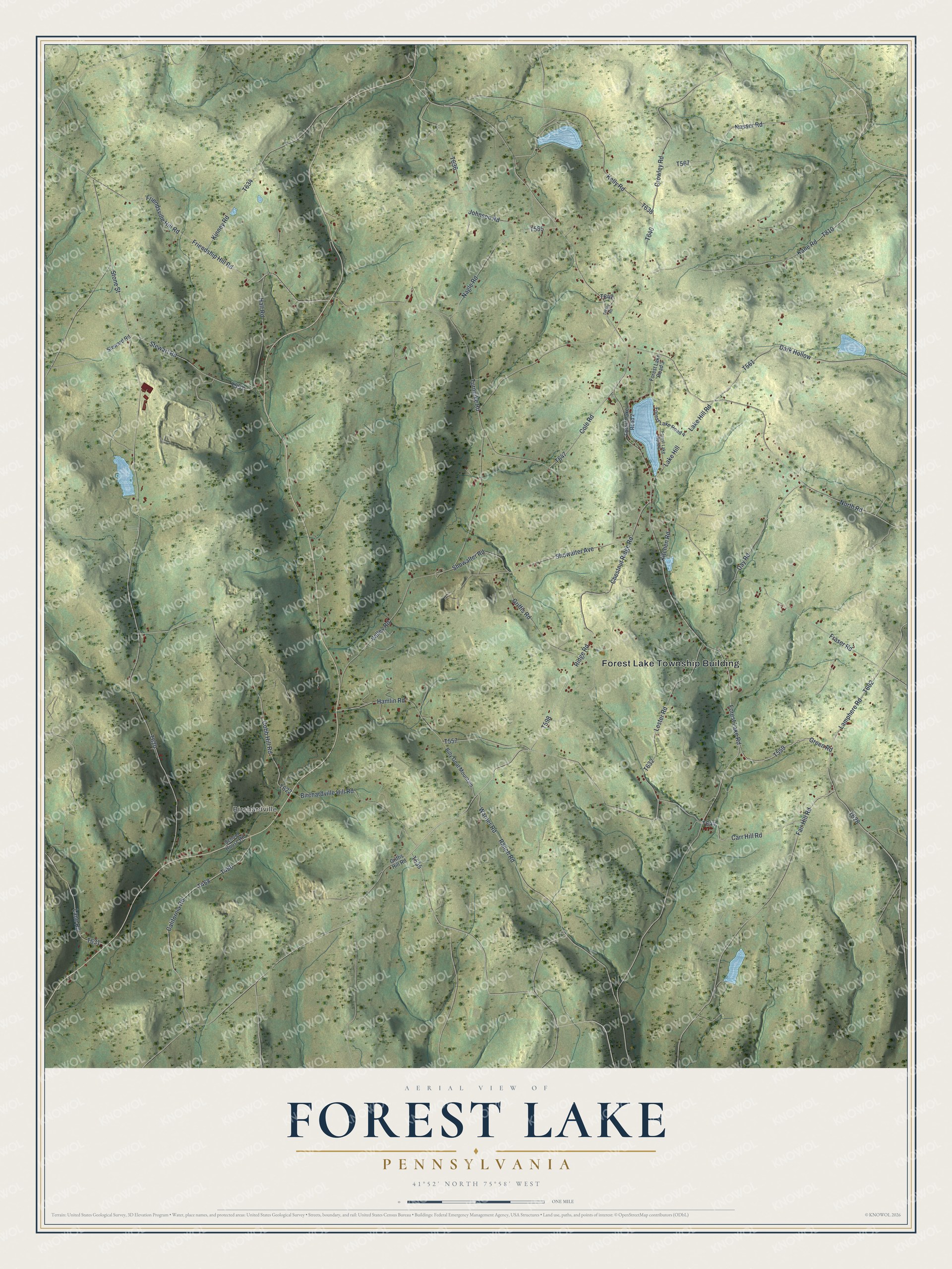
This beautifully detailed map of Forest Lake, Pennsylvania was created in 2026 using aerial imagery combined with modern topographical, census, street and landmark data. It’s a one-of-a-kind view of Forest Lake that combines accurate data with a vintage aesthetic. The map shows every building in its true location, many of the roads carry their names, and the shaded topographic relief shows the shape of the land.
Explore an aerial view of Forest Lake, Pennsylvania
On the map you’ll find Forest Lake Township Building and Birchardville, along with Green Road, Lamphere Road, Forest Lake Road, North Road, Ridge Road, and more. If you look closely you can even find your house accurately drawn in its correct location. Zoom in on the preview to look for yours.
Did you know this piece of Forest Lake, Pennsylvania history?
From the 1873 History of Susquehanna County, Pennsylvania: "W ritten as this was, at a time when it was sought to bring everything to bear favorably upon the interests of the western part of the county, and when a railroad from the Lackawanna coal field to Owego was in contemplation, one might have been tempted to exaggerate existing inconveniences; but impartial criticism will sustain the writer."
Take a closer look at the Forest Lake map
Street and place names on the Forest Lake, Pennsylvania map
These names are printed on the map of Forest Lake, Pennsylvania.
Places: Forest Lake Township Building and Birchardville.
Streets and roads: Green Road, Lamphere Road, Forest Lake Road, North Road, Ridge Road, Friendship Hill Road, Friendsville Hill Road, Carr Hill Road, Fair Hill Road, Cole Road, Cobb Hill Road, Kane Road.
More street names, A to Z
Billy Goat Mountain, Birchardville Hill Road, California Road, Chestnut Ridge Road, Crowley Road, Dark Hollow, Day Road, Forest Lake Road 2, Forest Lake Road 3, Forest Lake Road 4, Forest Lake Road 6, Fraser Road, Griffis Hill Road, Griffis Road, Hall Road, Hamlin Road, Johnson Road, Kelly Road, Kinney Road, Kitchen Road, Lake Hill, Lake Hill Road, Lane Road, Lester Road, Nagle Road, Nasser Road, Ranch Road, School House Road, Showalter Avenue, Showalter Road, Steward Road, Stewart Road, Stone Street, Tiffany Road, Turnpike Road, Valley Road, Warner Road.
See the Forest Lake, Pennsylvania map on a wall
The Forest Lake map as an 18 x 24 inch print in a black frame.

This beautifully detailed map of Forest Lake makes an attractive addition to your office, library, or den, and it can even be used to teach children the geography and history of the area. It also makes a great gift for someone who left Forest Lake and still calls it home. When you’re done exploring, click here to get your copy of the Forest Lake map.